- Brief description
-
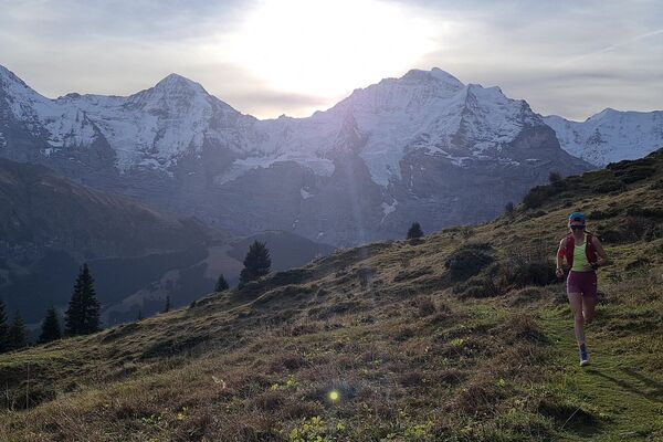
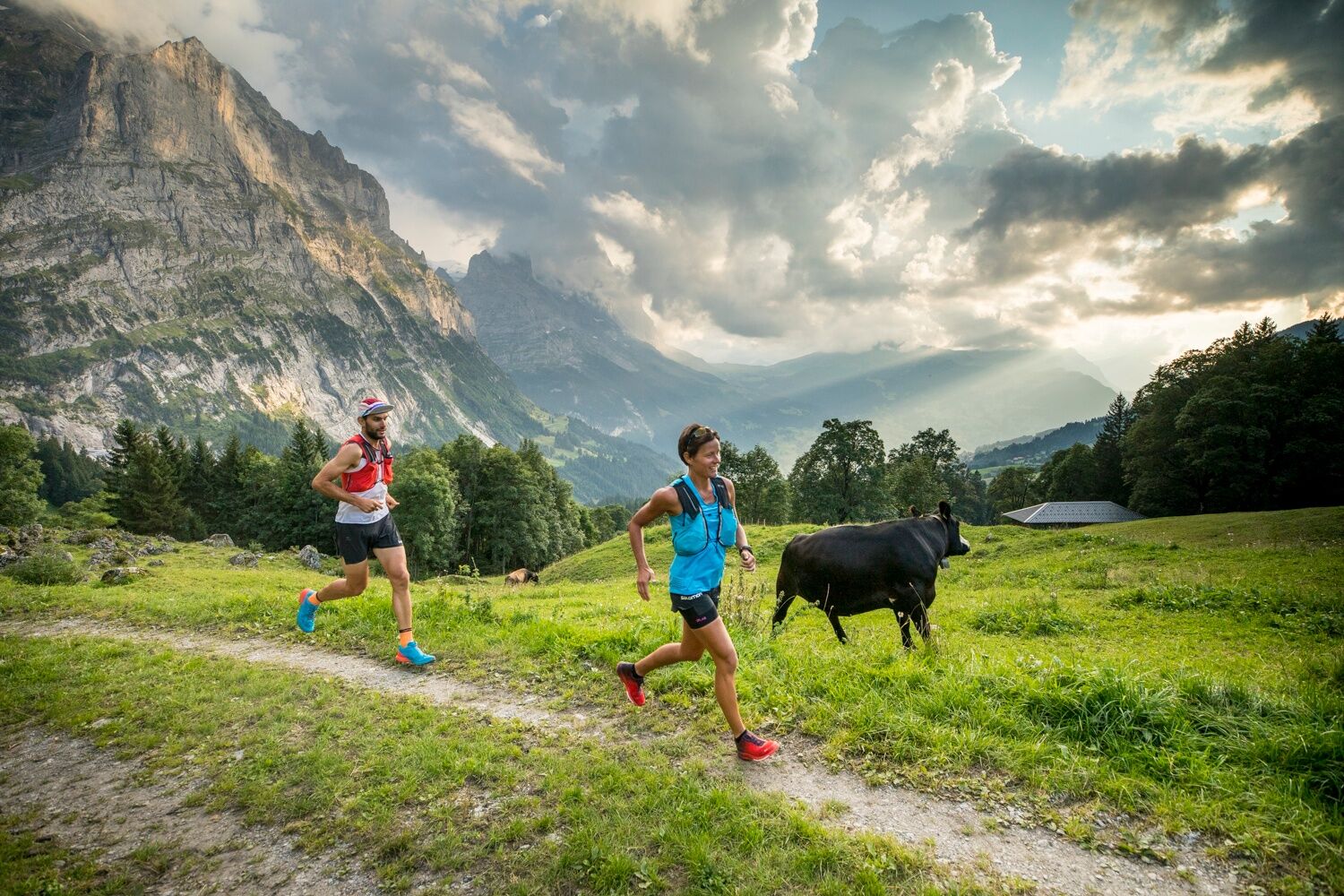
The Chrinnenhorn summit trail passes through the most fascinating glacier world in the Bernese Alps.
- Difficulty
-
difficult
- Rating
-
- Starting point
-
Grindelwald sports centre
- Route
-
Grindelwald0.1 kmDorfkirche0.8 kmRancher Bar1.9 kmChrinnenhorn (2,741 m)10.3 km
- Best season
-
JanFebMarAprMayJunJulAugSepOctNovDec
- Description
-
Beautiful summit trail leading from Grindelwald to the Upper Grindelwald glacier. Take the Grosse Scheidegg bus from Grindelwald to Upper Lauchbühl, where the trail sets out toward the Glecksteinhütte. The mountain hut is open from mid-June to the end of September and warmly welcomes day hikers and overnight guests. From the hut, a mountain trail continues up to the Chrinnenhorn which is very exposed in some sections and should be only be attempted by experienced mountain walkers with appropriate footwear and equipment.
- Directions
-
Village – Gleckstein - Chrinnenhorn
- Highest point
- 2,725 m
- Endpoint
-
Chrinnenhorn
- Height profile
-
 © outdooractive.com
 - Equipment
-
First Aid Kit
Weather-appropriate clothing (always carry waterproofs)
Drink/food provisions
Mobile phone - Safety instructions
-
Danger from overflowing waterways in heavy rainfall
Mind snow patches in spring
Caution advised in thunderstorms
Some exposed sections, good footwork necessary - Tips
-
Free running shoe test at the Backdoor Shop Grindelwald
- Additional information
- Directions
-
From Basel and Geneva, the fastest route to the Jungfrau Region is via Bern. From Zurich, the route via Lucerne and the Brünig Pass is recommended. The pass is open all year round.
From the south, travel to the Jungfrau Region via the Grimsel or Susten Pass. Both passes are only open in summer. An alternative is the Simplon Pass with subsequent car transport through the Lötschberg tunnel.
Grindelwald
From Interlaken we follow the main road to Zweilütschinen. Here we turn left towards Grindelwald. The whole trip takes about 30 minutes and leads over a partly winding road.
- Public transportation
-
Thanks to its central location in Europe, Switzerland is served by international trains from over 12 countries. Within Switzerland, Intercity trains run from Basel and Lucerne directly to the Jungfrau Region. Travellers from Zurich change trains in Bern. The trains run every half hour.
Grindelwald
From Interlaken Ost railway station we reach Grindelwald without changing trains on the Bernese Oberland Bahn (BOB). Important: Get on the rear part of the train, as it splits in Zweilütschinen. If you get on at the front, you will end up in Lauterbrunnen. The journey takes 30 minutes to Grindelwald Terminal (V-Bahn). Three minutes later we are at the terminal in the village.
There are three stations in Grindelwald (Terminal, Grund and Dorf). The terminal station (Dorf) is in the centre of Grindelwald.
- Parking
-
Grindelwald
There are three public car parks: Parkhaus Eiger+ (252 parking spaces), Parkhaus Sportzentrum (160 parking spaces) and the new Terminal Parking (1000 spaces) of the V-Bahn. Alternatively, we can also use the car park in Grindelwald Grund.


- Author
-
The tour Trailsummit Chrinnenhorn TS3 is used by outdooractive.com provided.