- Brief description
-
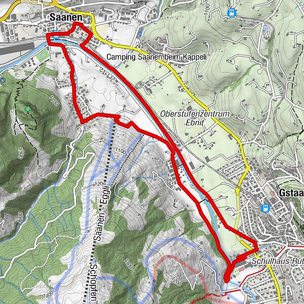
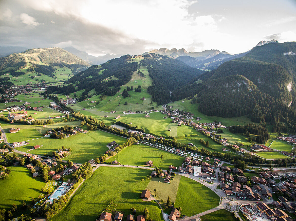
Easy Trail Running track between Saanen and Gstaad.
- Difficulty
-
easy
- Rating
-
- Starting point
-
Railway station Saanen or sport centre Gstaad
- Route
-
Saanen (1,014 m)Gstaad (1,050 m)2.3 kmSaanen Rüebeldorf (1,037 m)4.7 kmNorth Pole Food & Bar5.0 kmSaanen (1,010 m)6.1 kmSaanen (1,014 m)6.3 km
- Best season
-
JanFebMarAprMayJunJulAugSepOctNovDec
- Description
-
This easy route starts at the sports centre in Gstaad or at the train station in Saanen. The trail is relatively flat with a difference of only 70 vertical metres. The trail is well signposted with the Helsana Trail signage in a clockwise direction. On the way you can enjoy captivating panoramic views. Here, surrounded by lush green fields and meadows, with a stunning mountain backdrop on the horizon, Mother Nature grants each and every wish.
- Directions
-
Easy, level path, sometimes on forest path and sometimes on the street
- Highest point
- 1,042 m
- Endpoint
-
Railway station Saanen or sport centre Gstaad
- Height profile
-
 © outdooractive.com
 - Equipment
-
Good trail running shoes are recommended.
- Safety instructions
-
Hikers with dogs. Traffic on the street.
- Tips
-
After completing the trail, enjoy a relaxing aperitif at the Gstaad promenade or in the village of Saanen.
- Additional information
- Directions
- Public transportation
-
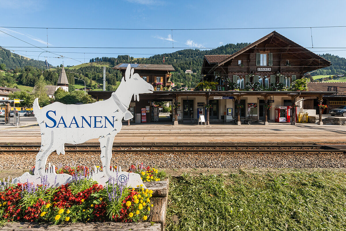
Saanen train station
- Parking
-
Gstaad Sport Centre or Train Station Saanen.
The parking spaces in the villages of Gstaad, Saanen, Schönried and Saanenmöser are managed by the municipality of Saanen or by Bergbahnen Destination Gstaad AG. With a few exceptions, you can use the ParkingPay app to pay parking fees and access free parking (www.parkingpay.ch).
-

-
AuthorThe tour Helsana Trail: Gstaad – Saanen - Gstaad, blue is used by outdooractive.com provided.
GPS Downloads


General info
Refreshment stop
Fauna
A lot of view
Other tours in the regions
-
Thyon les Collons
93
-
Destination Gstaad
46
-
Saanen
15