- Brief description
-
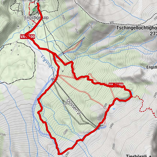
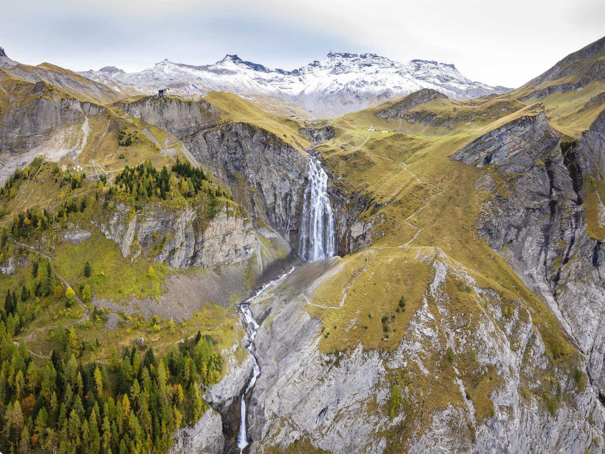
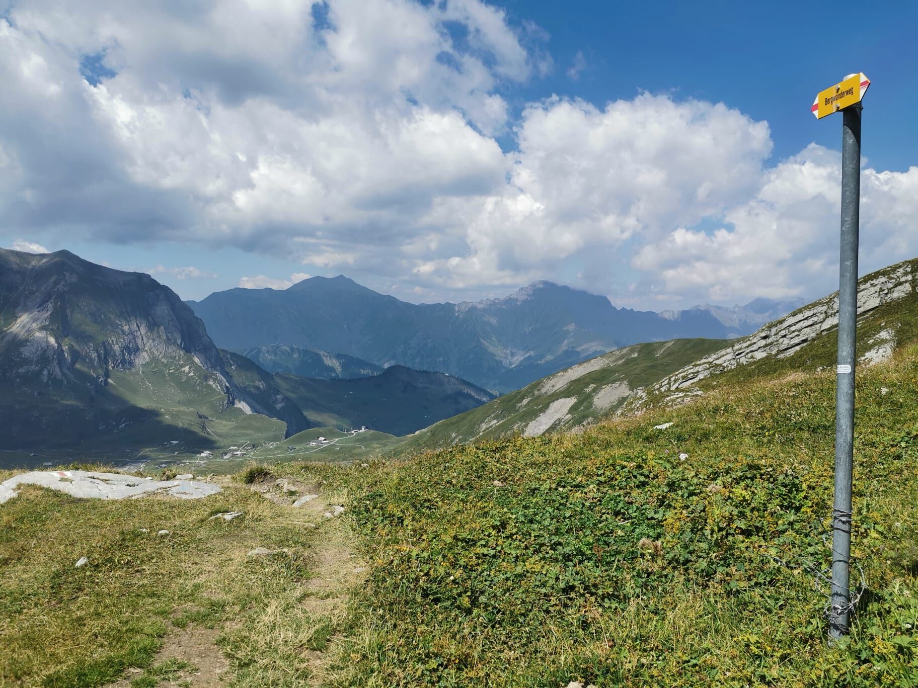
Already the plateau of Engstligenalp scores with breathtaking views. But this trail at over 2000 m above sea level has even more to offer...
- Difficulty
-
medium
- Rating
-
- Starting point
-
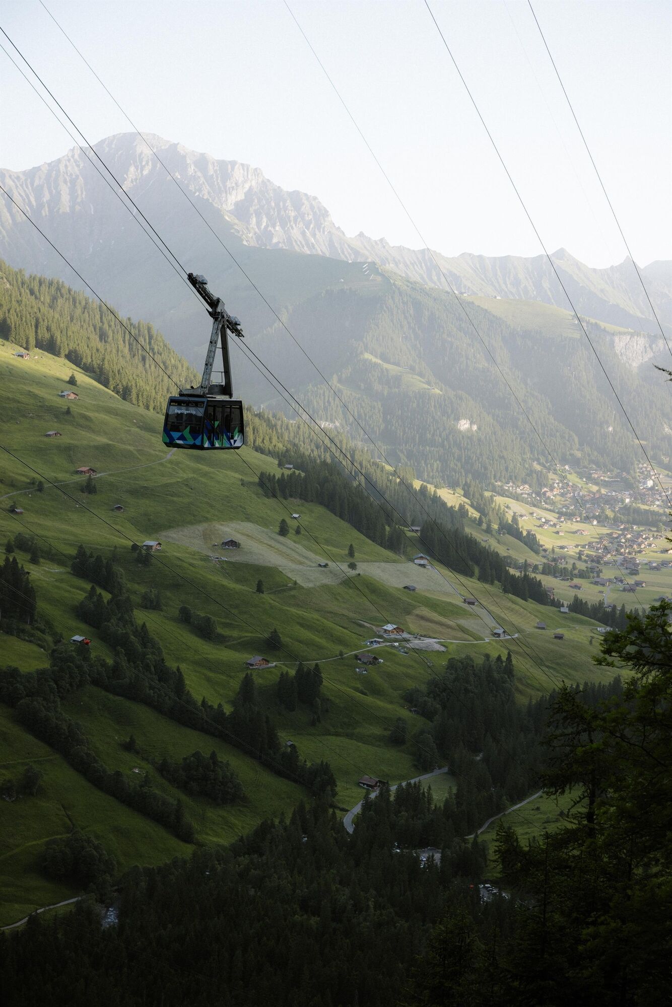
Mountain or valley station Engstligenalp, Adelboden
- Route
-
Engstligenalp0.3 km
- Best season
-
JanFebMarAprMayJunJulAugSepOctNovDec
- Description
-
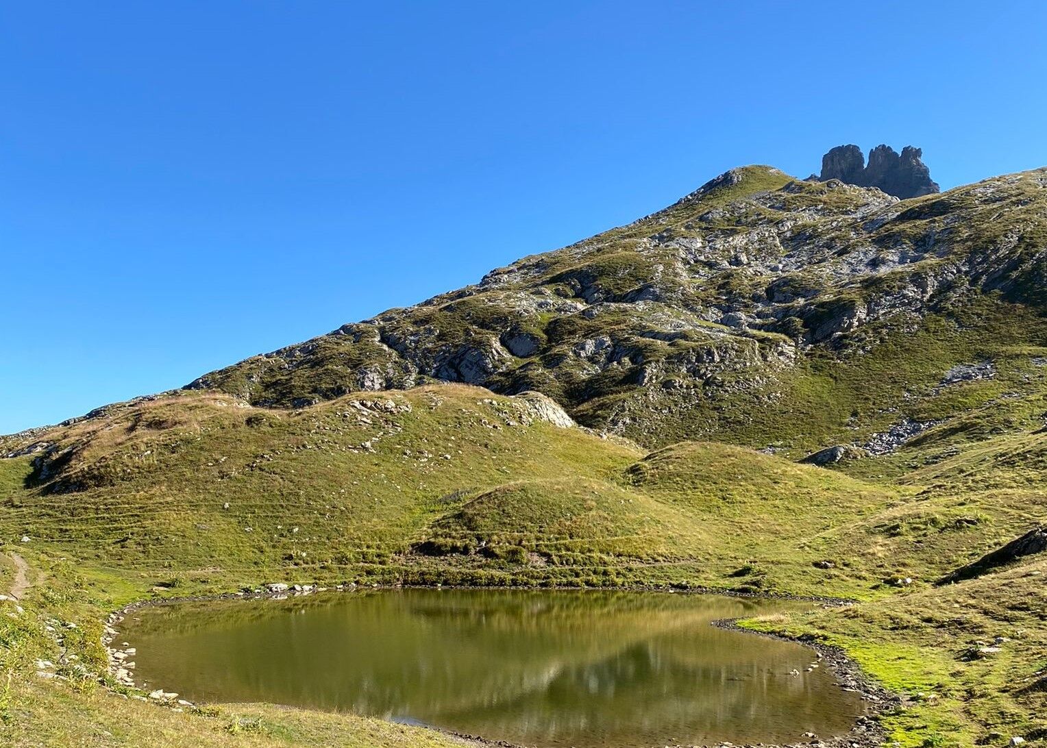
The mighty high plateau of Engstligenalp high above the chalet village of Adelboden is the starting point of this impressive route. The plain is characterized by rocks and small mountain streams, and it is precisely in this idyllic setting that the trail leads over hill and dale to the foot of the mighty Wildstrubel. And the panorama becomes even more impressive: After the ascent towards the Chindbetti Pass, the eye wanders over the Dossenseeli, embedded in wonderful nature - difficult to take your eyes off this pearl again.
- Highest point
- 2,339 m
- Endpoint
-
Mountain or valley station Engstligenalp, Adelboden
- Height profile
-
 © outdooractive.com
 - Equipment
-
Must have:
Life blanket
Cell phone
Food & Water
Wind/rain jacket
Trail running shoes
Nice to have:
Trail running backpack
Headlamp
Poles
- Safety instructions
-
The more extreme the conditions, the more important the equipment. Longer tours in the mountains, for example, require weatherproof clothing and a small running backpack with food.
- Tips
-
Attach your heart's desire to one of the biggest hearts in the Swiss Alps: the Mountainheart is located at the Engstligenalp mountain station.
- Public transportation
- Parking
-

-
AuthorThe tour Vista-Trail Dossenseeli is used by outdooractive.com provided.


General info
-
Oberwallis
121
-
Adelboden
45
-
Leukerbad
10