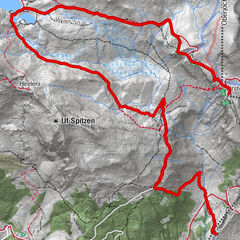
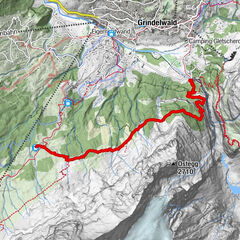
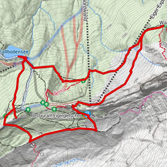
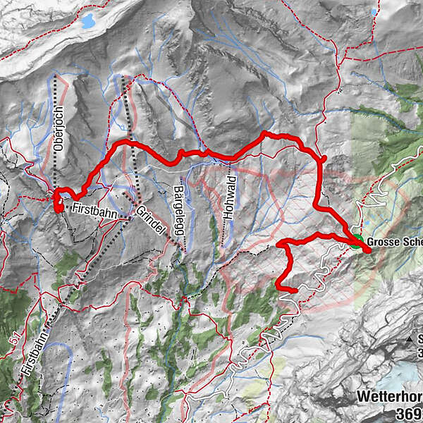
Unesco Theme Trail: First - Grosse Scheidegg - Oberer Lauchbühl U1


- Brief description
-
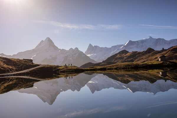
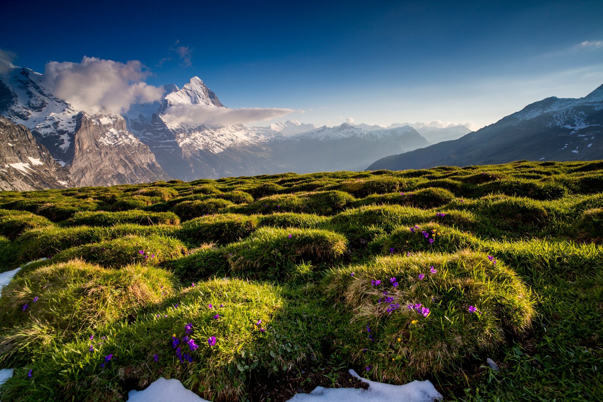
Beautiful hike on the sunny side of Grindelwald.
- Starting point
-
Mountain station First
- Route
-
FirstBerggasthaus First0.1 kmFirst Cliff Walk by Tissot0.2 kmFirst (Oberjoch) (2,164 m)0.5 kmGrosse Scheidegg (1,962 m)6.2 km
- Description
-
The UNESCO theme trails are digitally accessible via smarTrails (only in German). All you need is this link and an internet-enabled smartphone. Alternatively, you can also book guided tours here.
The trail starts at the First mountain station. The gondola ride up to the First takes 30 minutes. From there follow the Panorama Trail No. 6 to Grosse Scheidegg. There you follow the path down towards the village to Oberer Lauchbühl (No. 21). From here you can take the bus back to the valley. The unique panorama is your constant companion throughout the trail.
- Directions
-
First - Grosse Scheidegg - Oberer Lauchbühl
- Highest point
- 2,171 m
- Endpoint
-
Oberer Lauchbühl
- Height profile
-
 © outdooractive.com
 - Equipment
-
hiking daypack (approx. 20 liters) with rain cover
comfortable and sturdy footwear
adequate and durable outdoor clothing in multiple layers
sun and rain protection
snacks and drinking water
first aid kit
penknife
mobile phone
if necesessary: telescope sticks, headlight, maps - Safety instructions
- Tips
-
Take a break at the Berghaus First or Grosse Scheidegg.
Visit the First Cliff Walk before the hike. - Additional information
- Directions
-
From Basel and Geneva, the fastest route to the Jungfrau Region is via Bern. From Zurich, the route via Lucerne and the Brünig Pass is recommended. The pass is open all year round.
From the south, travel to the Jungfrau Region via the Grimsel or Susten Pass. Both passes are only open in summer. An alternative is the Simplon Pass with subsequent car transport through the Lötschberg tunnel.
Grindelwald
From Interlaken we follow the main road to Zweilütschinen. Here we turn left towards Grindelwald. The whole trip takes about 30 minutes and leads over a partly winding road.
- Public transportation
-
Thanks to its central location in Europe, Switzerland is served by international trains from over 12 countries. Within Switzerland, Intercity trains run from Basel and Lucerne directly to the Jungfrau Region. Travellers from Zurich change trains in Bern. The trains run every half hour.
Grindelwald
From Interlaken Ost railway station we reach Grindelwald without changing trains on the Bernese Oberland Bahn (BOB). Important: Get on the rear part of the train, as it splits in Zweilütschinen. If you get on at the front, you will end up in Lauterbrunnen. The journey takes 30 minutes to Grindelwald Terminal (V-Bahn). Three minutes later we are at the terminal in the village.
There are three stations in Grindelwald (Terminal, Grund and Dorf). The terminal station (Dorf) is in the centre of Grindelwald.
- Parking
-
Grindelwald
There are three public car parks: Parkhaus Eiger+ (252 parking spaces), Parkhaus Sportzentrum (160 parking spaces) and the new Terminal Parking (1000 spaces) of the V-Bahn. Alternatively, we can also use the car park in Grindelwald Grund.
- Author
-
The tour Unesco Theme Trail: First - Grosse Scheidegg - Oberer Lauchbühl U1 is used by outdooractive.com provided.
-
Obwalden
2014
-
Brienzersee
1054
-
Grindelwald - First
396