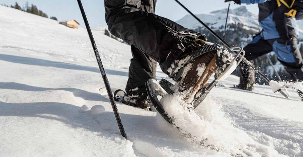

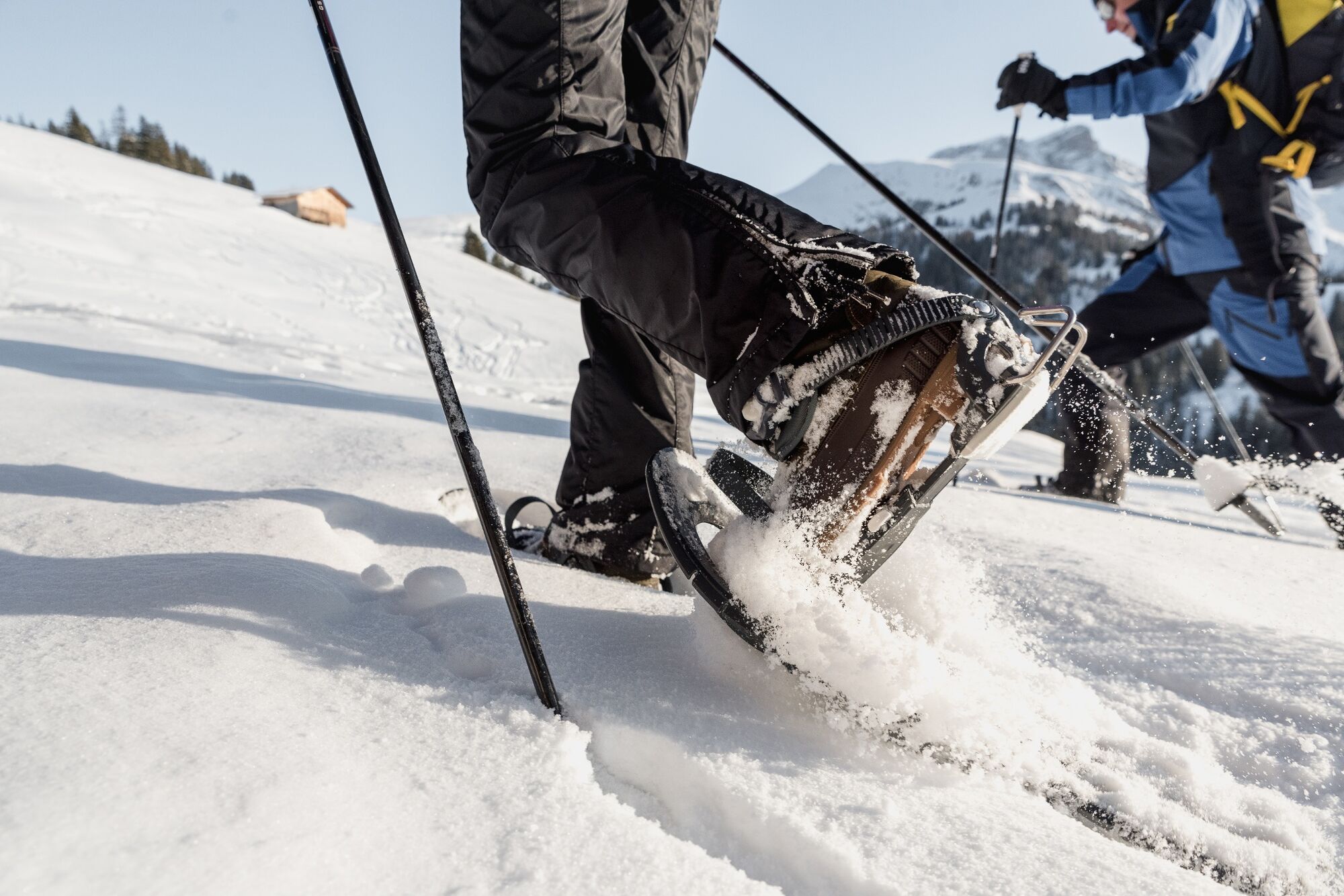
- Brief description
-
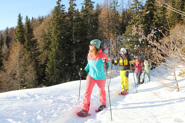
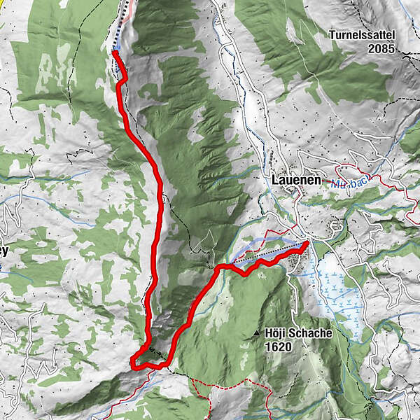
Wonderful signposted snowshoe trail from the Wispile mountain station via Chrinepass to Lauenen
- Difficulty
-
medium
- Rating
-
- Starting point
-
Wispile mountain station
- Route
-
Berghaus Wispile0.0 km
- Best season
-
AugSepOctNovDecJanFebMarAprMayJunJul
- Description
-
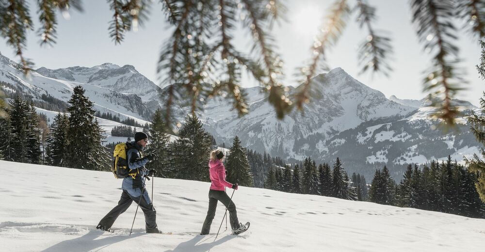
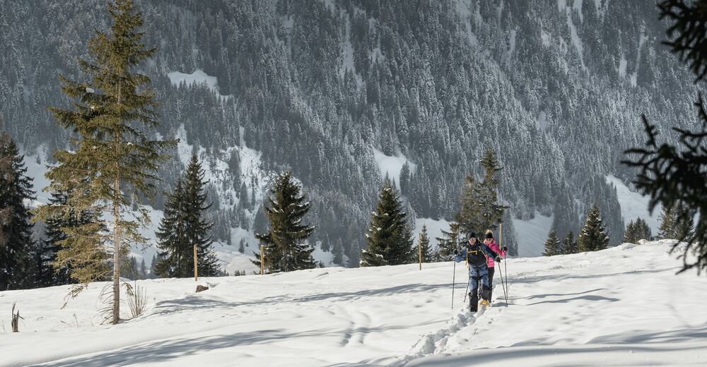
From the Wispile mountain station, a winter hiking trail leads over the Wispilegrat to the Chrinetritt and, as a popular toboggan run, on to Gsteig. Parallel to the winter hiking trail, there are wonderful deep snow fields over the entire ridge, which are ideal for snowshoeing. There is also a wonderful view of the Saanenland mountains. Halfway to the Chrinetritt, at the alpine huts of the Vorder Höji Wispile, you come across a wooden fondue caquelon. Here you can enjoy your own fondue in a unique setting.
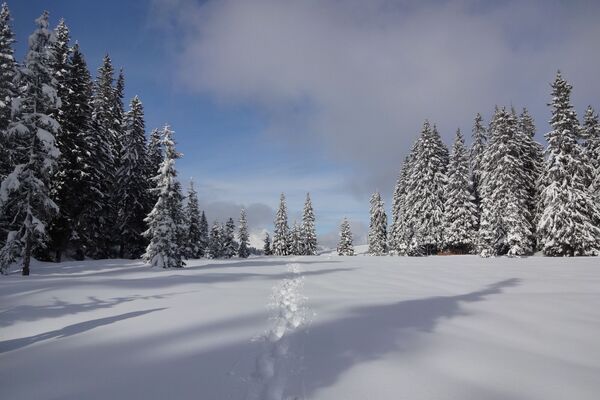
If you've had enough of powder snow here, switch back to the winter hiking trail and follow it via Chrinetritt and further down to the Chrine alpine huts. This is where the winter hiking trail to Gsteig and the signposted snowshoe trail to Lauenen separate. This is followed by a short ascent to the Chrine, the well-known transition between Gsteig and Lauenen. This is followed by a wonderful descent through a snow-covered fir forest. In this area, the trail mostly follows the course of the summer hiking trail. In the Brüchli area you leave the forest and enjoy a beautiful panorama of the opposite Lauenehore and Wasserngrat. Further down, at the ski lift mountain station, you leave the quiet winter landscape. At the edge of the ski slope (attention skiers) the trail leads down towards Lauenen. The Hotel Alpenland with its beautiful terrace and the magnificent panorama welcomes you to a well-deserved stop at your destination.
The route can also be walked in the opposite direction.
Please take note of the operating dates for lifts and cable cars.
- Directions
-
Wispile – Chrinetritt – Chrine Pass – Lauenen
- Highest point
- 1,937 m
- Endpoint
-
Village Lauenen
- Height profile
-
 © outdooractive.com
 - Equipment
-
We recommend the following equipment: snowshoes, sturdy and waterproof mountain boots, light to medium backpack, protection against the cold, sun protection, hiking sticks, pocket pharmacy, snacks, tea in a thermos bottle, mobile phone.
Not obligatory but recommended: Avalanche transceiver (LVS)
- Safety instructions
-
This route is not specially signposted in the first part (Wispile-Chrine). The signposted and prepared winter hiking trail serves as a guideline. There is enough space to the left and right for snowshoeing. From Chrine to Lauenen the trail is signposted as a snowshoe route but not specially prepared.
Plan every snowshoe tour carefully and adapt to participants’ fitness level as well as the weather and season.
Weather conditions can change quickly in the mountains. Appropriate clothing is therefore essential, along with adequate supplies of food and water. In uncertain weather, turn back in good time.
Inform others of planned route, and whenever possible avoid going alone.
Please be considerate to other walkers and to plants and animals.
- Tips
-
Note the timetable of the Wispilebahn. This only runs at certain weeks in winter!
Take into account the timetable for the bus line Lauenen Rohrbrücke - Gstaad.
- Additional information
-
Further information on snowshoe tours in the destination of Gstaad: www.gstaad.ch
- Directions
-
The Destination Gstaad is located in the south-west of Switzerland right on the border to the French-speaking part of the country. The Destination is easily accessed by rail or car from the regions around Lake Thun and Lake Geneva and the Gruyere region Direct connections to the European high-speed rail network and all international airports in Switzerland guarantee a time-saving and pleasant journey.
More information on gstaad.ch: Travel & Public Transport.
- Public transportation
-
Outward journey: by train to Gstaad and then by bus towards Gsteig to Gstaad, Wispile (valley station). The trail starts at the mountain station.
Return journey: by bus from Lauenen Rohrbrücke / Hotel Alpenland to Gstaad train station.
- Parking
-
Parking Wispile Gstaad


-

-
AuthorThe tour Chrine Trail 1: Wispile - Chrinepass - Lauenen is used by outdooractive.com provided.


General info
-
Thyon les Collons
107
-
Destination Gstaad
60
-
Lauenen
22