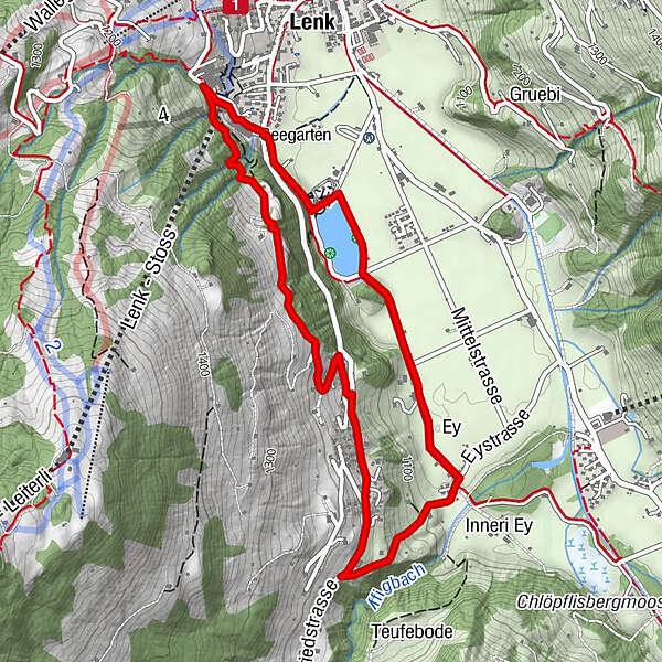
Bottom station Betelberg - Seefluh - Staldengässli - bottom station Betelberg (signposted)

- Brief description
-
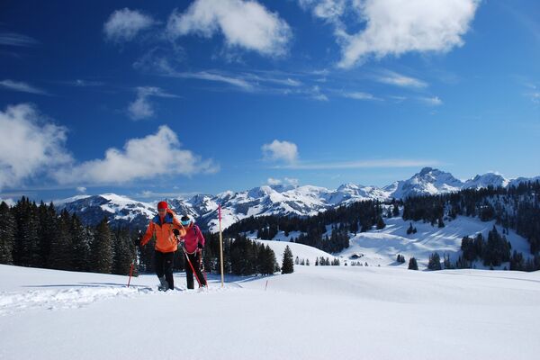
Snowshoe tour near the village via Seefluh through Pöschenried to Lenkerseeli. This tour combines winter hiking and snowshoeing.
- Difficulty
-
medium
- Rating
-
- Starting point
-
Valley station Betelberg
- Route
-
Lenk (1,068 m)Lenk (1,068 m)5.2 km
- Best season
-
AugSepOctNovDecJanFebMarAprMayJunJul
- Description
-
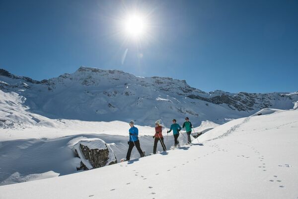
The tour starts at the Betelberg valley station. The trail leads through the forest right at the start and climbs steadily until it reaches the highest point on the Seefluh. From here, the view over the snow-covered end of the valley is breathtaking! With the Wildstrubel always in view, the trail continues through Pöschenried (snowshoes must be taken off here) through Staldegässli down to the valley floor. Here the snowshoe trail leads via Lenkerseeli back to the Betelberg valley station.
- Directions
-
The ascent is along a wide hiking trail through the forest without any particular difficulties. As soon as you leave the forest, a forest road climbs over the Seefluh. The route through Pöschenried leads along tarmac roads. The Staldengässli is a steep forest track that was already in use in Roman times. The path back to the village of Lenk is mainly gravel, or hopefully snow in winter.
- Highest point
- 1,215 m
- Endpoint
-
Valley station Betelberg
- Height profile
-
 © outdooractive.com
 - Safety instructions
-
For snowshoe tours, the appropriate equipment and the necessary expertise (avalanche awareness, alpine skills) are mandatory! If you have no experience in assessing the avalanche situation in open terrain, it is better to go on a snowshoe tour with a trained mountain guide.
- Additional information
-
This hike can also be done in the snow-free months without snowshoes.
- Arrival
-
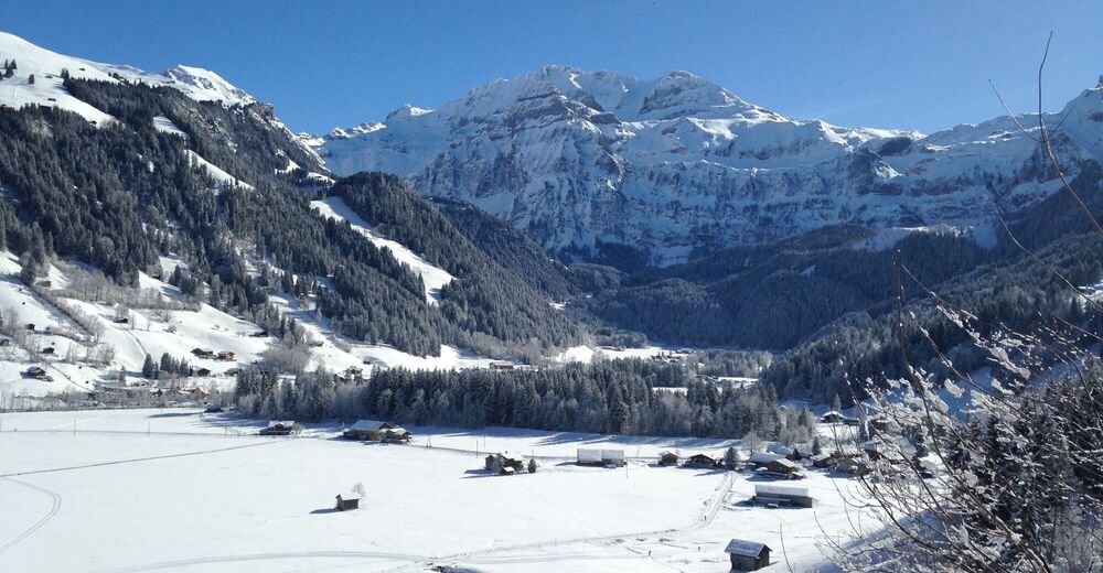
From Spiez via Simmentalstrasse to Lenk.
- Public transportation
-
By train to Lenk. On foot or by bus to the Betelberg valley station.
- Parking
-
Free parking at the Betelberg valley station

- Author
-
The tour Bottom station Betelberg - Seefluh - Staldengässli - bottom station Betelberg (signposted) is used by outdooractive.com provided.


General info
-
Thyon les Collons
108
-
Adelboden
99
-
Lenk im Simmental
33