
- Brief description
-
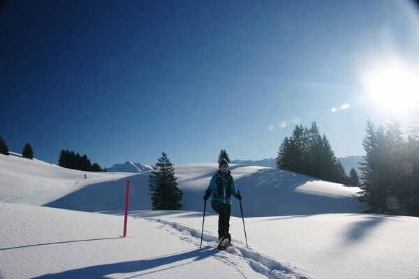
Einfache Schneeschuhwanderung am Fusse des Eigers.
- Difficulty
-
medium
- Rating
-
- Route
-
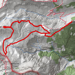
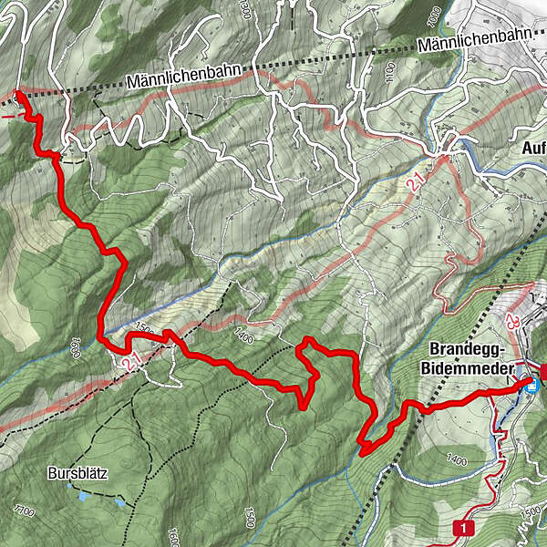
Brandegg-Bidemmeder4.9 kmRestaurant Brandegg5.2 kmBrandegg (1,333 m)5.2 km
- Best season
-
AugSepOctNovDecJanFebMarAprMayJunJul
- Highest point
- 1,619 m
- Endpoint
-
Grindelwald, Brandegg
- Height profile
-
 © outdooractive.com

-

-
AuthorThe tour Eiger Trail - Grindelwald (signalisiert) is used by outdooractive.com provided.
GPS Downloads


Other tours in the regions