
- Difficulty
-
medium
- Rating
-
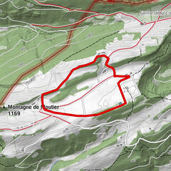
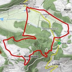
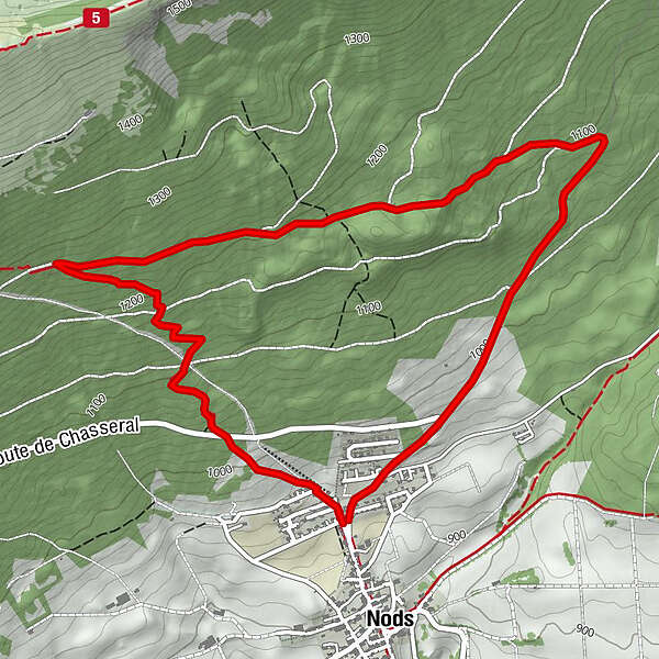
- Route
-
Nods (885 m)Nods (885 m)6.1 km
- Best season
-
AugSepOctNovDecJanFebMarAprMayJunJul
- Description
-
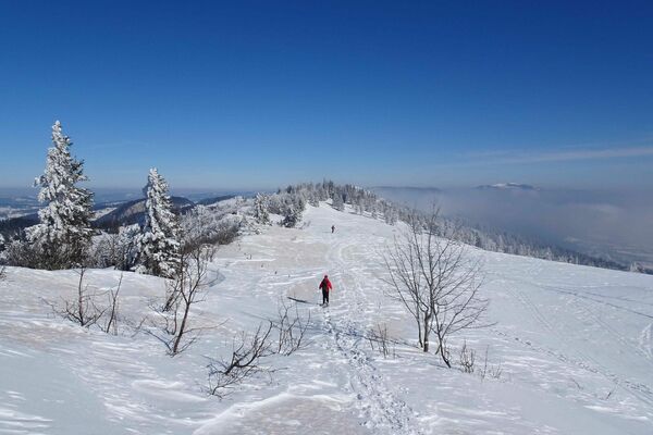
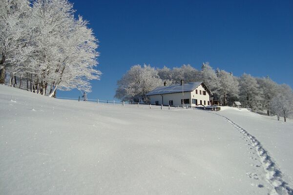
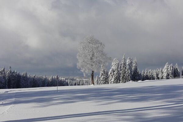
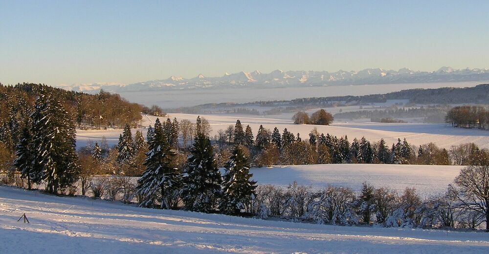
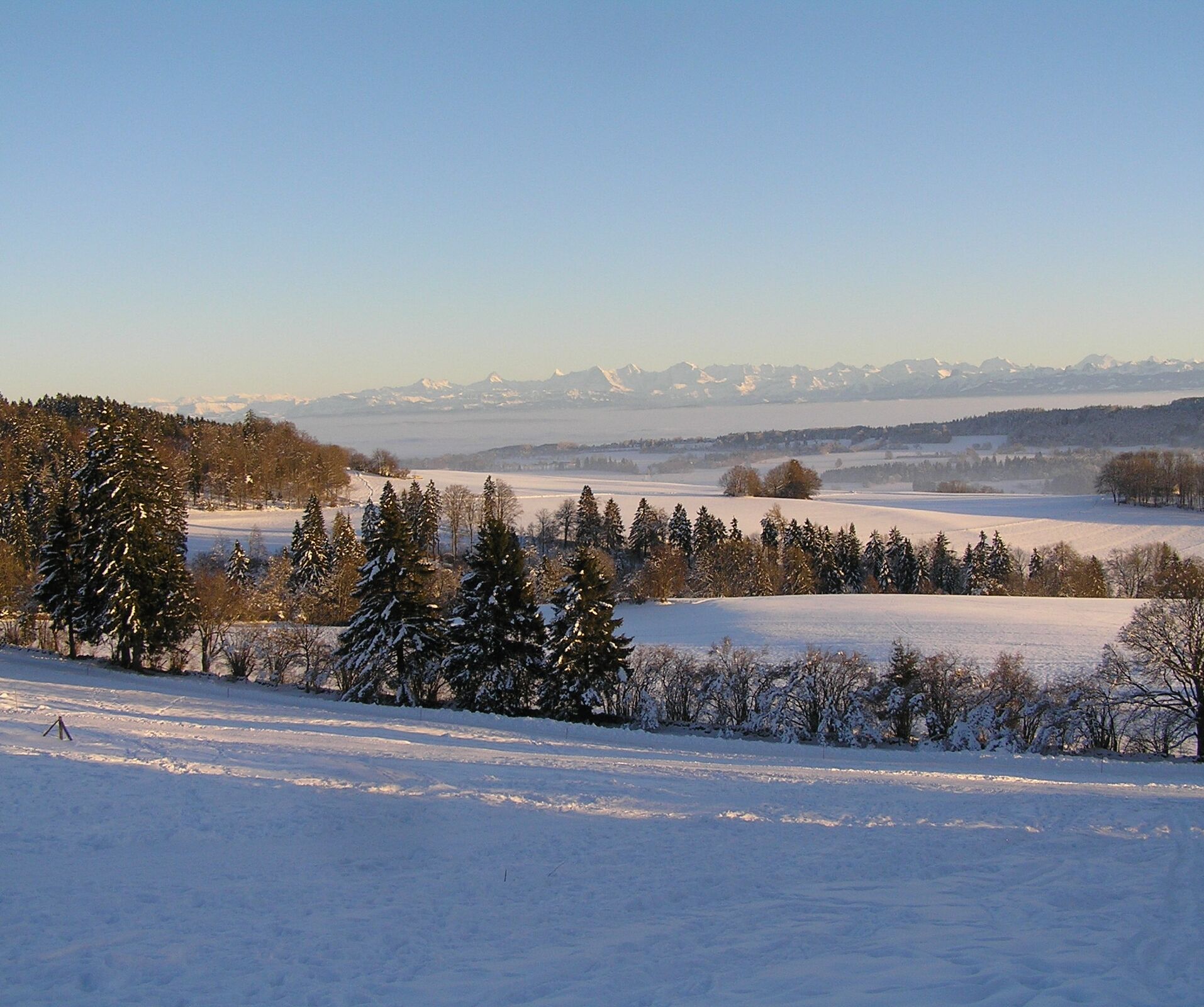
In winter, Nods, the small village at the foot of the Chasseral, boasts many hours of sunshine and wonderful far-reaching views over the Mittelland plateau, all the way to the Alps. The starting point for both Nods trails is the car park in the upper part of the municipality of Nods. A gentle climb takes us across the pastures and meadows of Champ Matthieu where there is a magnificent view of the Plateau de Diesse and the Alpine range. At the entrance to the forest, at point 1017, the two routes separate; the easy route turns off to the left and heads west along the Bois Rare forest path.
The moderately difficult route continues upwards through the forest to point 1080. Here it also turns to the west and leads steadily uphill across to the Nods-Chasseral hiking trail. After a short descent along the forest path, the two routes meet up again at point 1107. The hike down to Nods continues along the summer hiking trail.
- Highest point
- 1,269 m
- Endpoint
-
Nods
- Height profile
-
 © outdooractive.com
 - Equipment
-
Recommended gear: Sturdy and waterproof mountain boots, light to medium backpack, protection against the cold, sunscreen, hiking sticks, first-aid travel kit, snacks, tea in a thermos flask, mobile phone.
- Safety instructions
-
The route itself is signposted as a snowshoeing trail but is not prepared in any particular way.
- Directions
-
By car to Nods via Twann – Lamboing.
-

-
AuthorThe tour Nods Trail – Nods is used by outdooractive.com provided.
GPS Downloads


General info
A lot of view
Other tours in the regions