
- Brief description
-
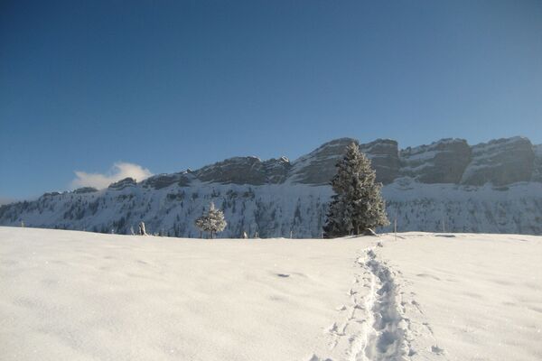
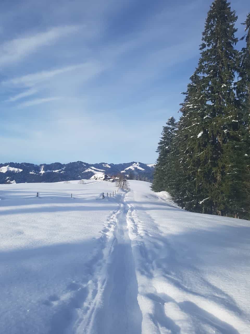
Terrific circular snowshoeing tour in the hilly Emmental landscape near Trub
- Difficulty
-
medium
- Rating
-
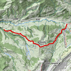
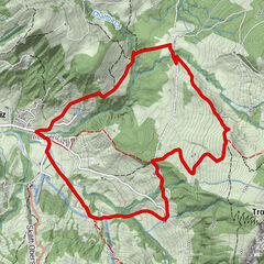
- Route
-
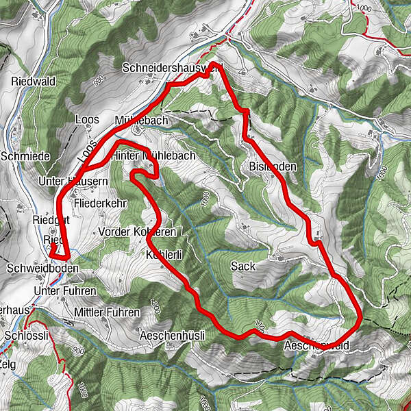
Ried0.0 kmSandgrabe0.1 kmUnter Häusern0.6 kmHinter Mühlebach1.4 kmHüserenweid2.0 kmKohlerli2.3 kmBergwirtschaft Ober Altösch4.5 kmBisiboden5.0 kmSchneidershausweid6.2 kmUnter Häusern7.2 kmSandgrabe7.8 kmRied7.9 km
- Best season
-
AugSepOctNovDecJanFebMarAprMayJunJul
- Description
-
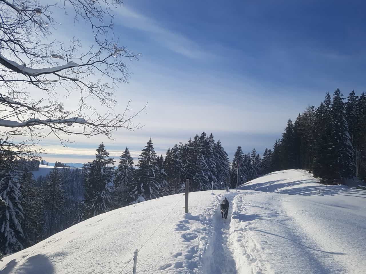
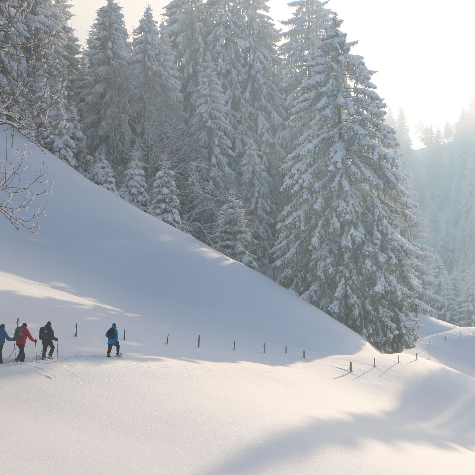
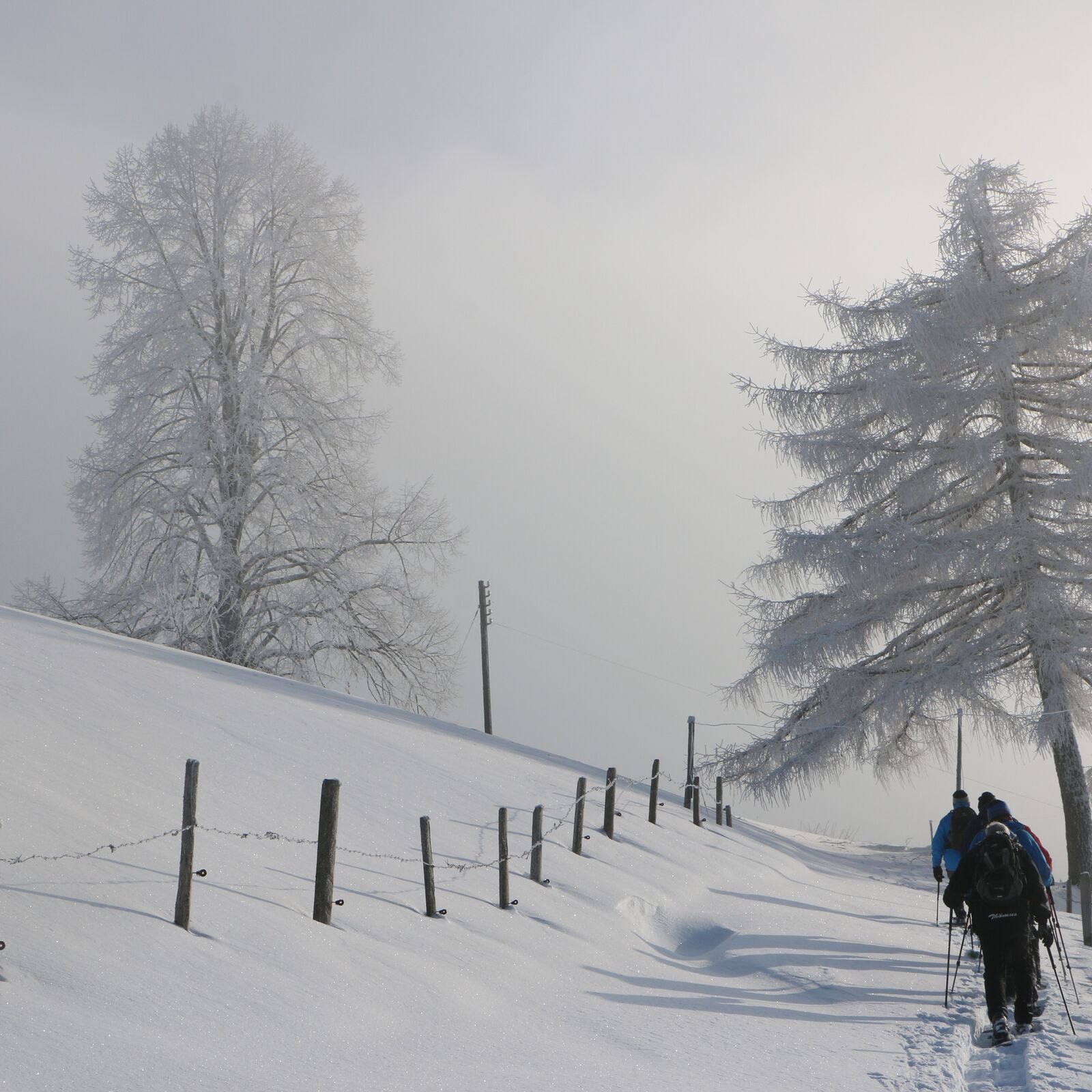
From the starting point at the old Ried schoolhouse (bus stop, car park, WCs), the snowshoeing trail takes you over to the Fankhusbach stream. It is advisable to wait until you have crossed the footbridge before putting on your snowshoes.
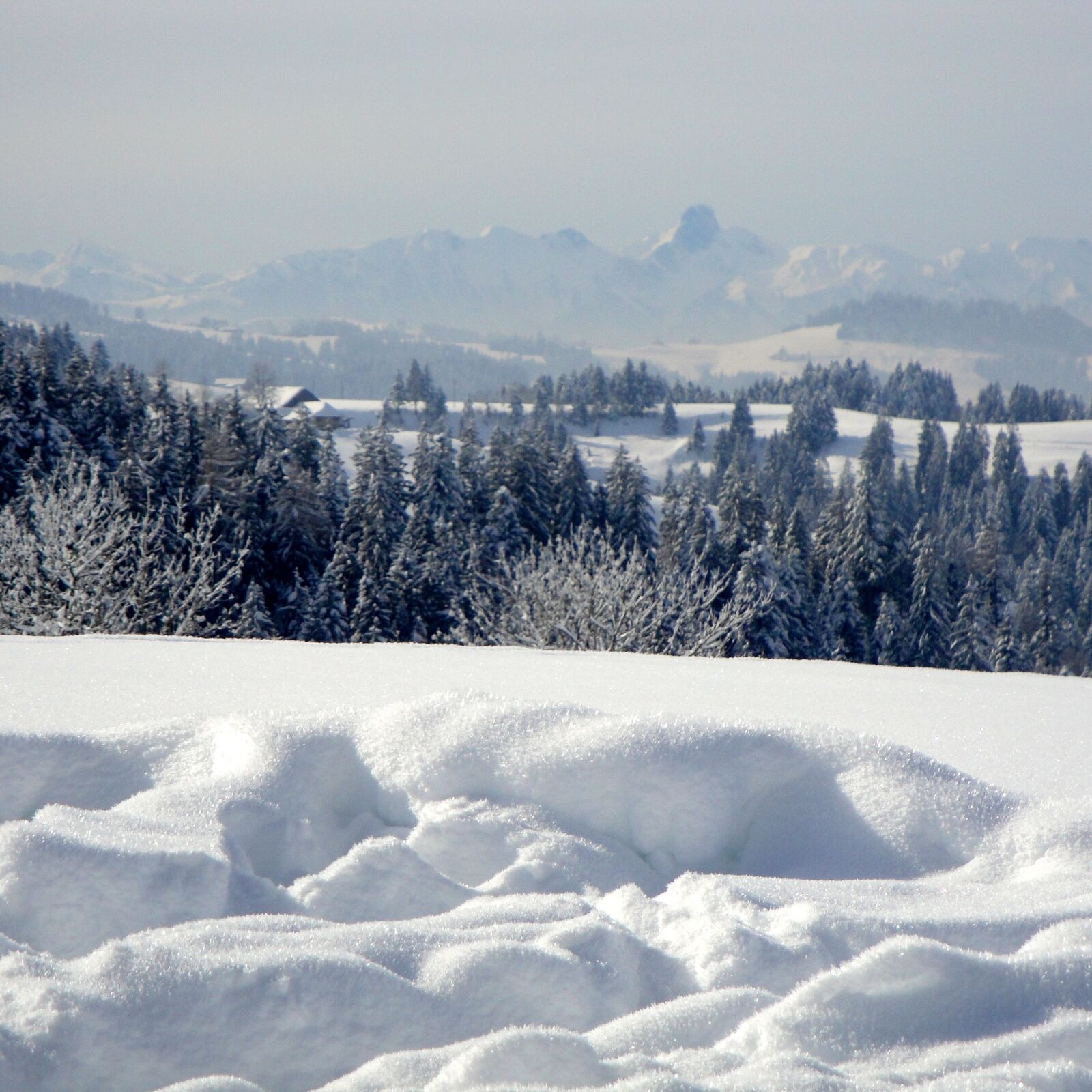
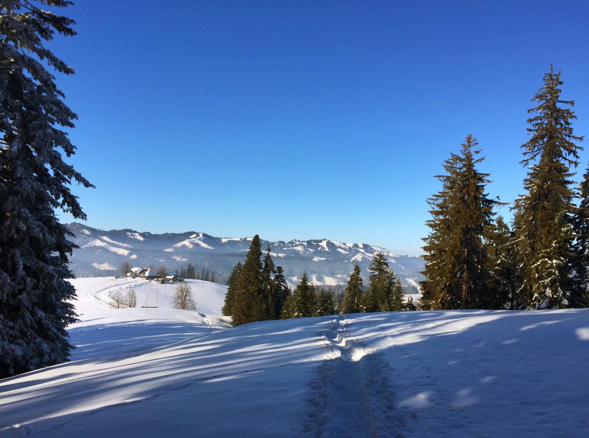
The trail now continues across the plain to the stately farmsteads of Unter- and Ober Hüseren and across the meadow to Hinter Mühlebach. A slight incline takes you up to the forest of Hüserenwald and the Hüserenweid. Crossing pastures and the forest clearing, the route leads steeply to the former Cholerli farmstead. The trail continues along a pleasant and more or less level forest path, over to the Choleren farm. Next, the route leads across the pasture towards Pt. 1170 (highest point) and on to the Ober Altösch farm (Beizli alpine eatery). To the north, the Napf stands proud with its striking Berghaus mountain lodge. On the opposite side, to the south, there are magnificent views of the Alps.
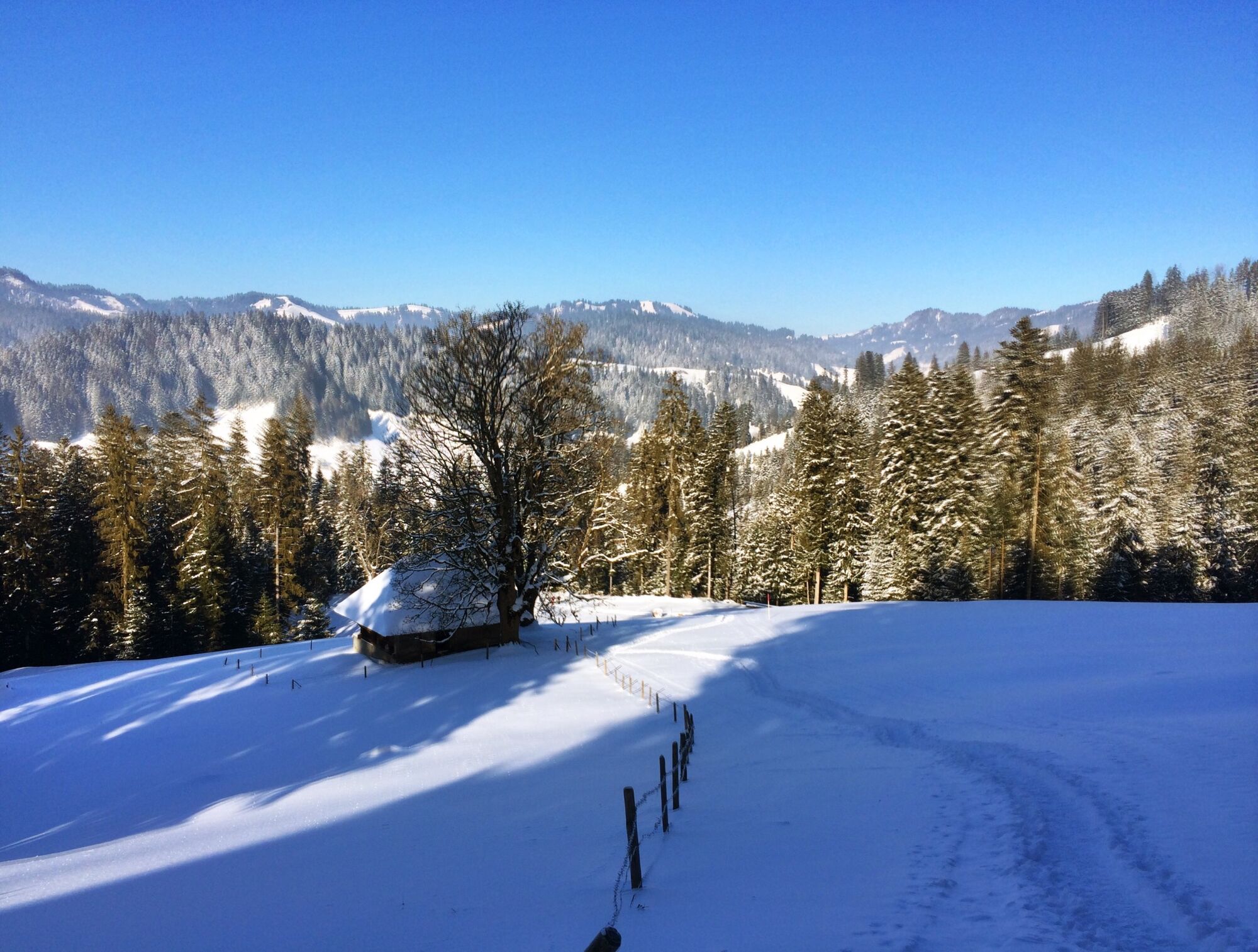
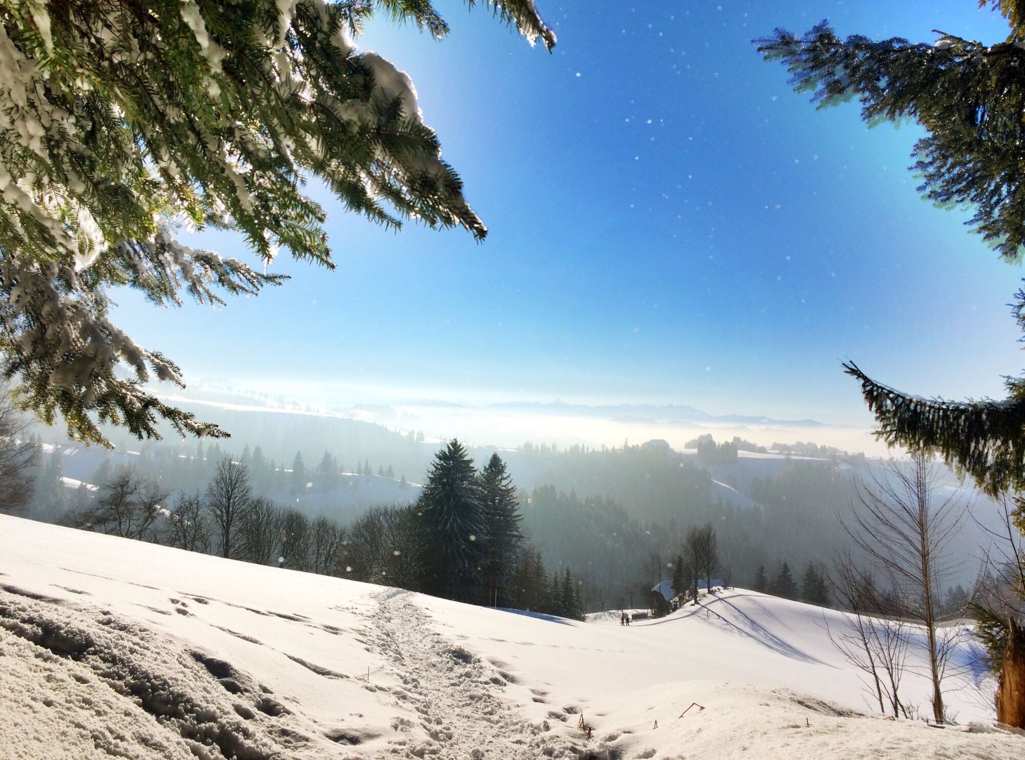
The descent begins at this point, gentle at first, then ever steeper from Stoss onwards. Once at its foot you cross the Mülebach stream and follow the edge of the forest back to the Hüseren farmstead. And in no time at all you are back at your starting point at the old schoolhouse in Ried.
- Highest point
- 1,149 m
- Endpoint
-
Trub, Ried
- Height profile
-
 © outdooractive.com
 - Equipment
-
We recommend the following items: Sturdy and waterproof hiking boots, light to medium rucksack, protection against the cold, sun protection, hiking poles, first-aid kit, snacks, tea in a thermos flask, mobile phone.
- Safety instructions
-
The route itself is signposted as a snowshoeing route but is not groomed in any particular way.
- Tips
-
The Beizli in Ober Altösch is open from Friday evening to Sunday evening. ‘Other times by arrangement only’. Phone: 034 495 56 19
- Directions
-
By car via Langnau – Trubschachen to Trub/Ried.
- Public transportation
-
Outward and return journey: By rail as far as Trubschachen. By bus to Trub/Ried.
-

-
AuthorThe tour Altösch Trail - Trub is used by outdooractive.com provided.


General info
-
Obwalden
122
-
UNESCO Biosphäre Entlebuch
39
-
Trub
10