


- Difficulty
-
easy
- Rating
-
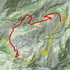
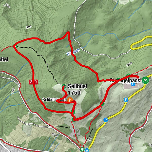
- Route
-
Selibüel (1,750 m)2.7 kmSelibühlhaus3.1 km
- Best season
-
AugSepOctNovDecJanFebMarAprMayJunJul
- Description
-
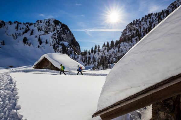
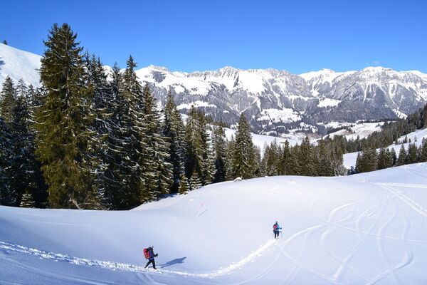
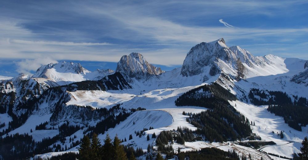
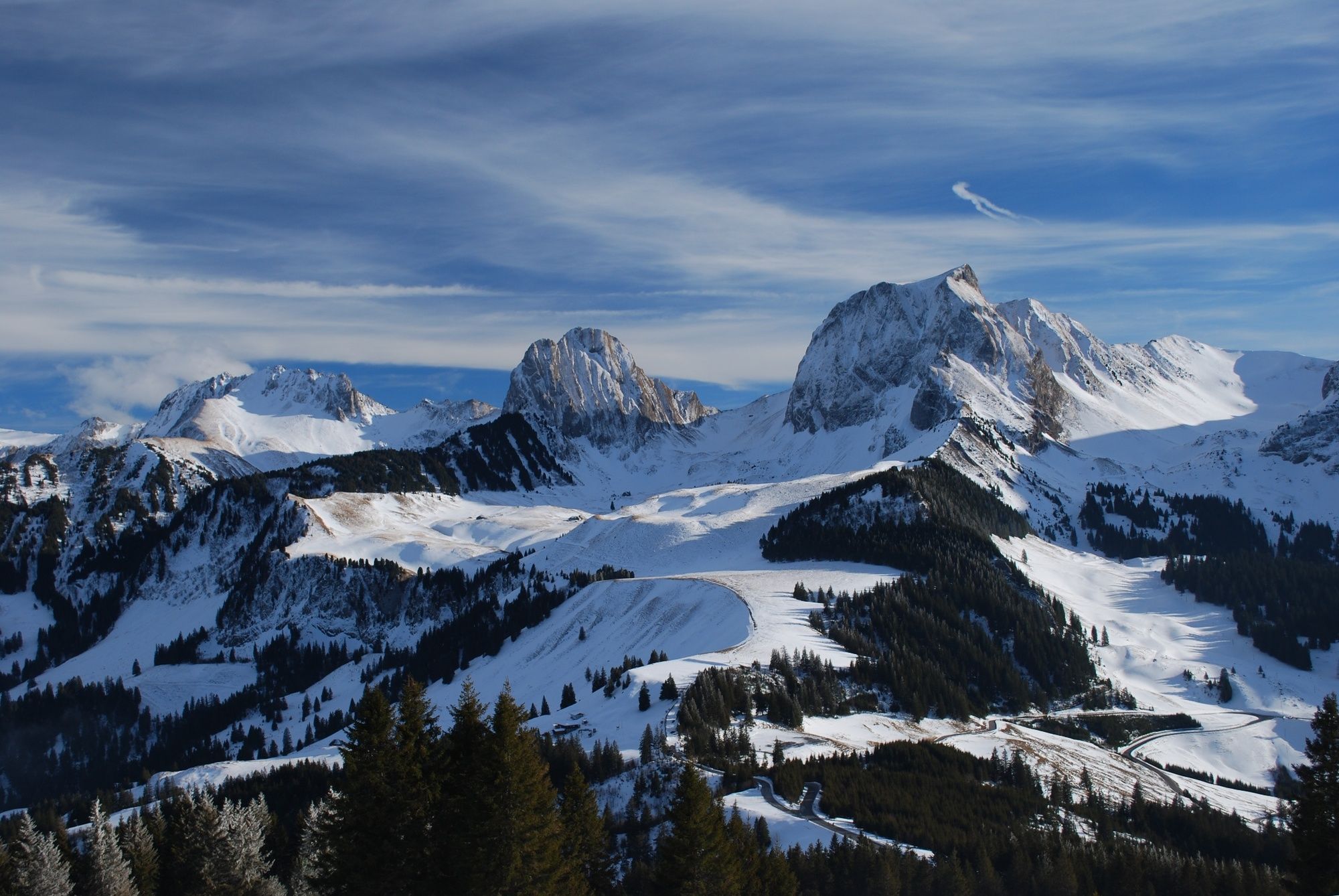
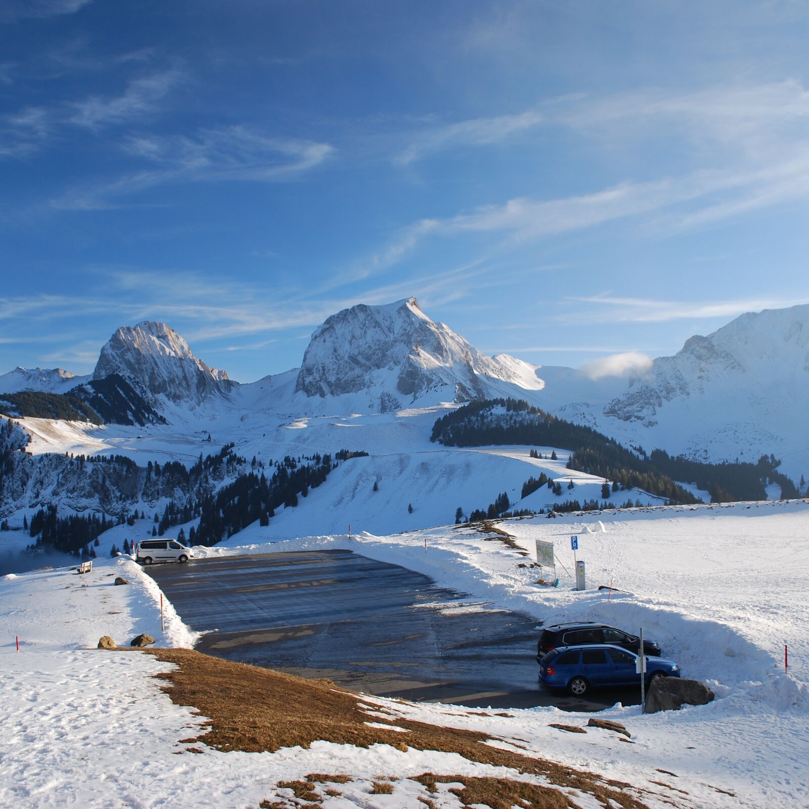
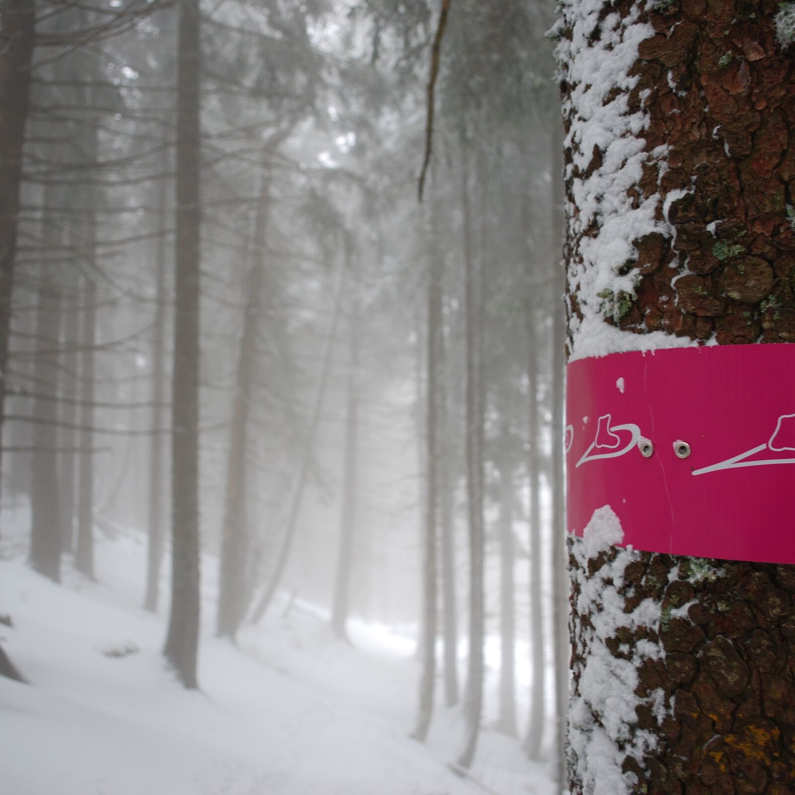
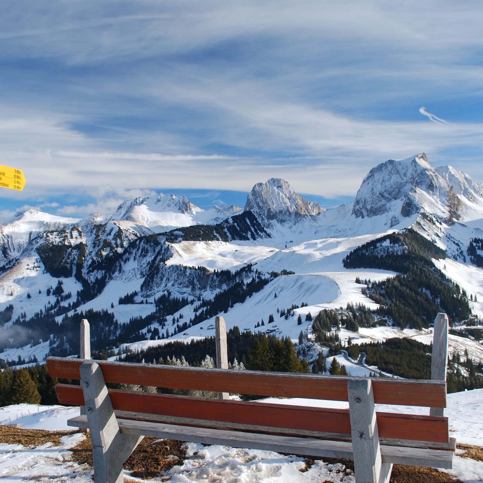
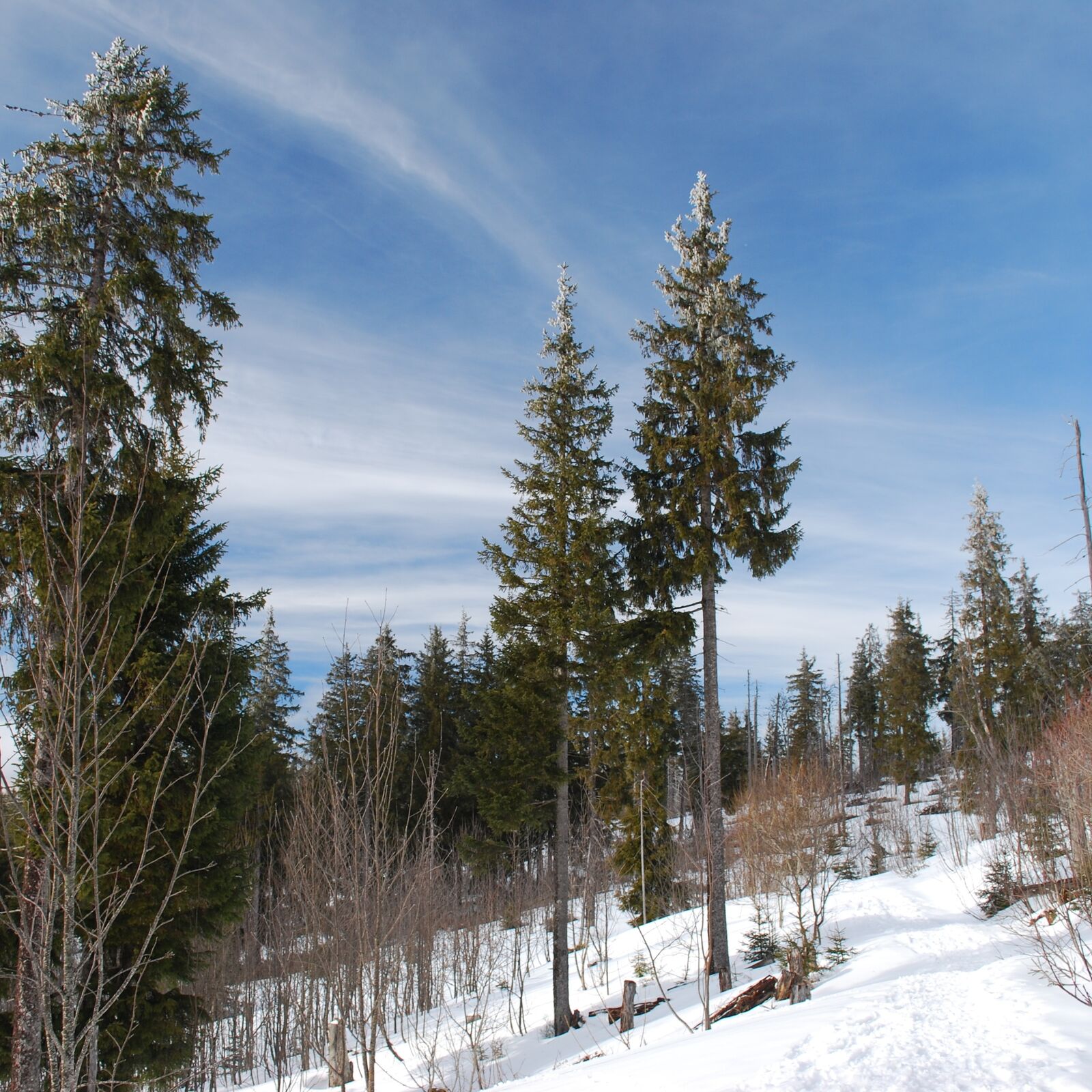
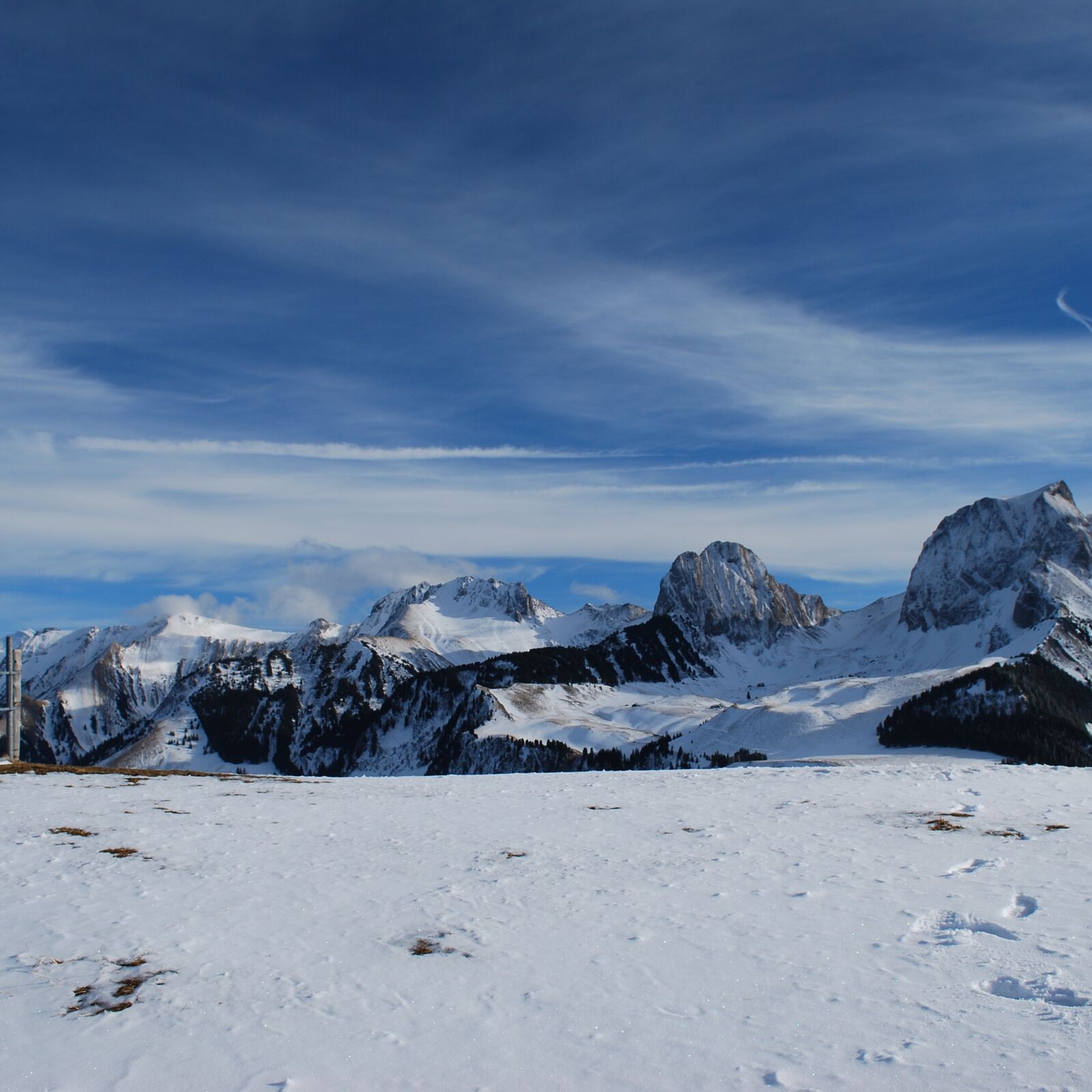
One of the most beautiful snowshoeing tours in Canton Bern is the Selibüel Trail on the Gurnigel. The signposted snowshoeing trail around the Selibüel stands out by virtue of its stunning natural setting and wonderful 360° panoramic views from the summit. The starting point is the Stierenhütte bus stop / car park near the Gurnigel pass summit. Along the snow-covered summer hiking trail, the route leads anticlockwise around the Selibüel, through forests of beech and fir. At Gouchheit, which is the turning point to the north-west, the dense forest begins to thin out to resemble a Nordic forest landscape more and more. At the Selibüelhütte signpost, the route branches off to the left and climbs straight up to the summit of the Selibüel, past the Selibüel mountain inn. Here you are rewarded with a wonderful 360° panorama. The nearby pre-Alpine peaks of the Nüneflue, Gantrisch, Bürgle and Ochse are almost within touching distance. The panorama itself remains your hiking companion on the way back via the Selibüelhütte and Stierenberg to the Stierenhütte car park. The signposted snowshoeing trail can also be reached from Wasserscheidi and the Gurnigel Pass summit.
Please note: The north side of the Selibüel is avalanche-prone. If the avalanche warning levels for the area are ‘considerable’ or ‘very high’, do not venture along the trail without prior knowledge, equipment and/or a mountain guide. All the latest information on the avalanche situation can be obtained at www.slf.ch or via the White Risk app.
The Selibüel area is also a black grouse habitat. So please do not leave the trail, and always follow the officially signposted route!
- Highest point
- 1,741 m
- Endpoint
-
Gurnigel, Stierenhütte
- Height profile
-
 © outdooractive.com
 - Equipment
-
We recommend the following items: Sturdy and waterproof hiking boots, light to medium rucksack, protection against the cold, sun protection, hiking poles, first-aid kit, snacks, tea in a thermos flask, mobile phone.
- Safety instructions
-
The route itself is signposted as a snowshoeing route but is not groomed in any particular way. Please note: The north side of the Selibüel is avalanche-prone. If the avalanche warning levels for the area are ‘considerable’ or ‘very high’, do not venture along the trail without prior knowledge, equipment and/or a mountain guide. All the latest information on the avalanche situation can be obtained at www.slf.ch or via the White Risk app.
- Directions
-
By car via Riggisberg up to the Gurnigel to the Stierenhütte/car park (charges apply).
- Public transportation
-
Outward journey: by rail to Thurnen; from there by PostBus via Riggisberg and Gurnigel-Berghaus to the Stierenhütte bus stop.
Return journey: by PostBus from the Stierenhütte or Gurnigel-Berghaus bus stops to Thurnen, railway station.
-

-
AuthorThe tour Selibüel Panoramic Trail is used by outdooractive.com provided.