


- Brief description
-
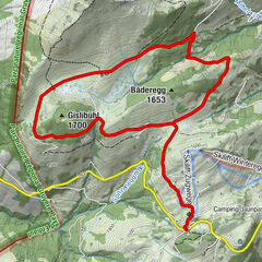
The Gantrisch Panoramatrail is a snowshoe tour around the Selibühl panoramic summit. It impresses with a fantastic 360° panoramic view from the summit and plenty of nature.
- Difficulty
-
easy
- Rating
-
- Starting point
-
Berghaus Gurnigel (altitude: 1593 m)
- Route
-
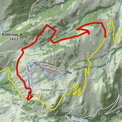
GurnigelSelibühlhaus2.3 kmSelibüel (1,750 m)2.6 km
- Best season
-
AugSepOctNovDecJanFebMarAprMayJunJul
- Description
-
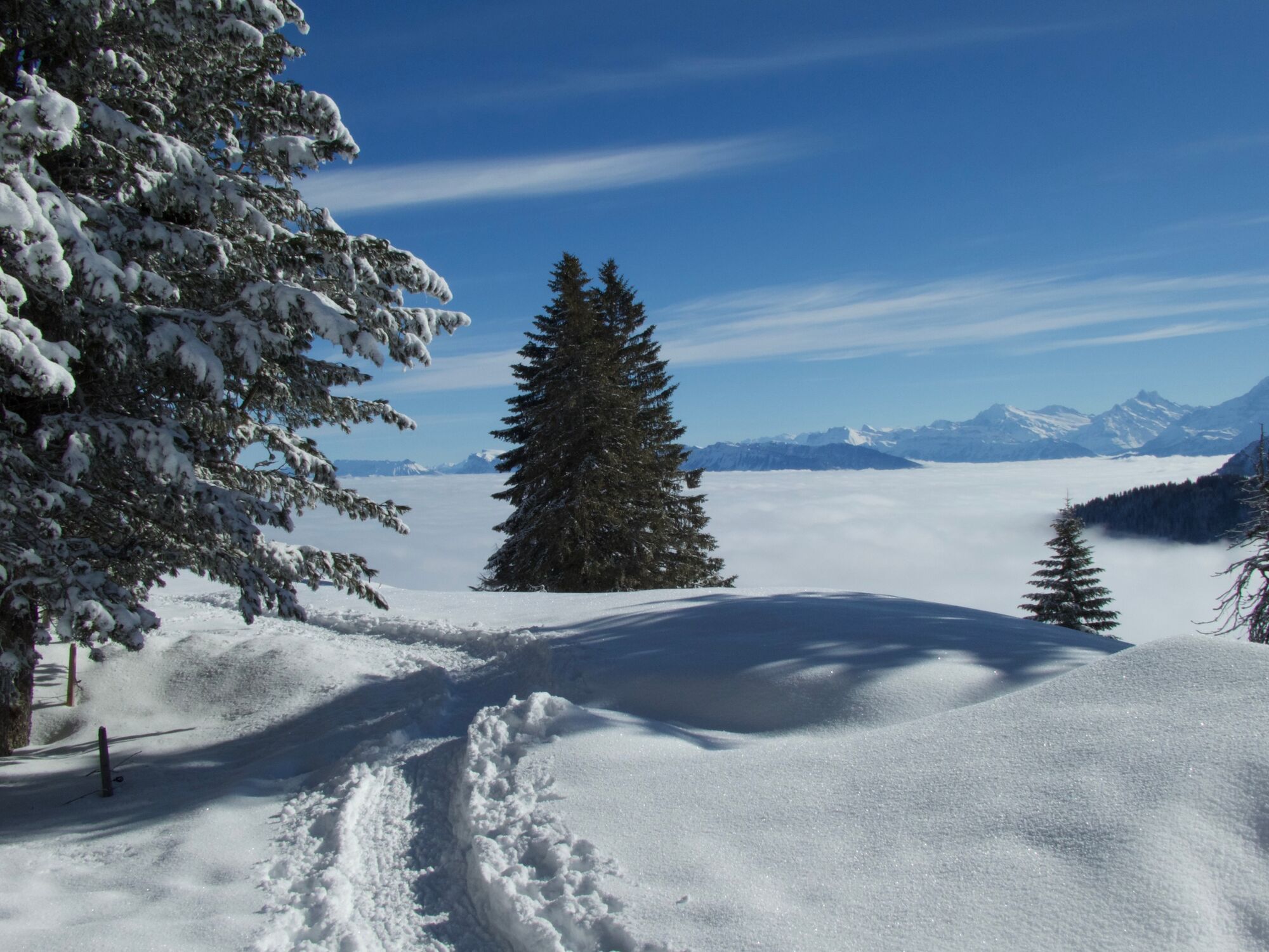
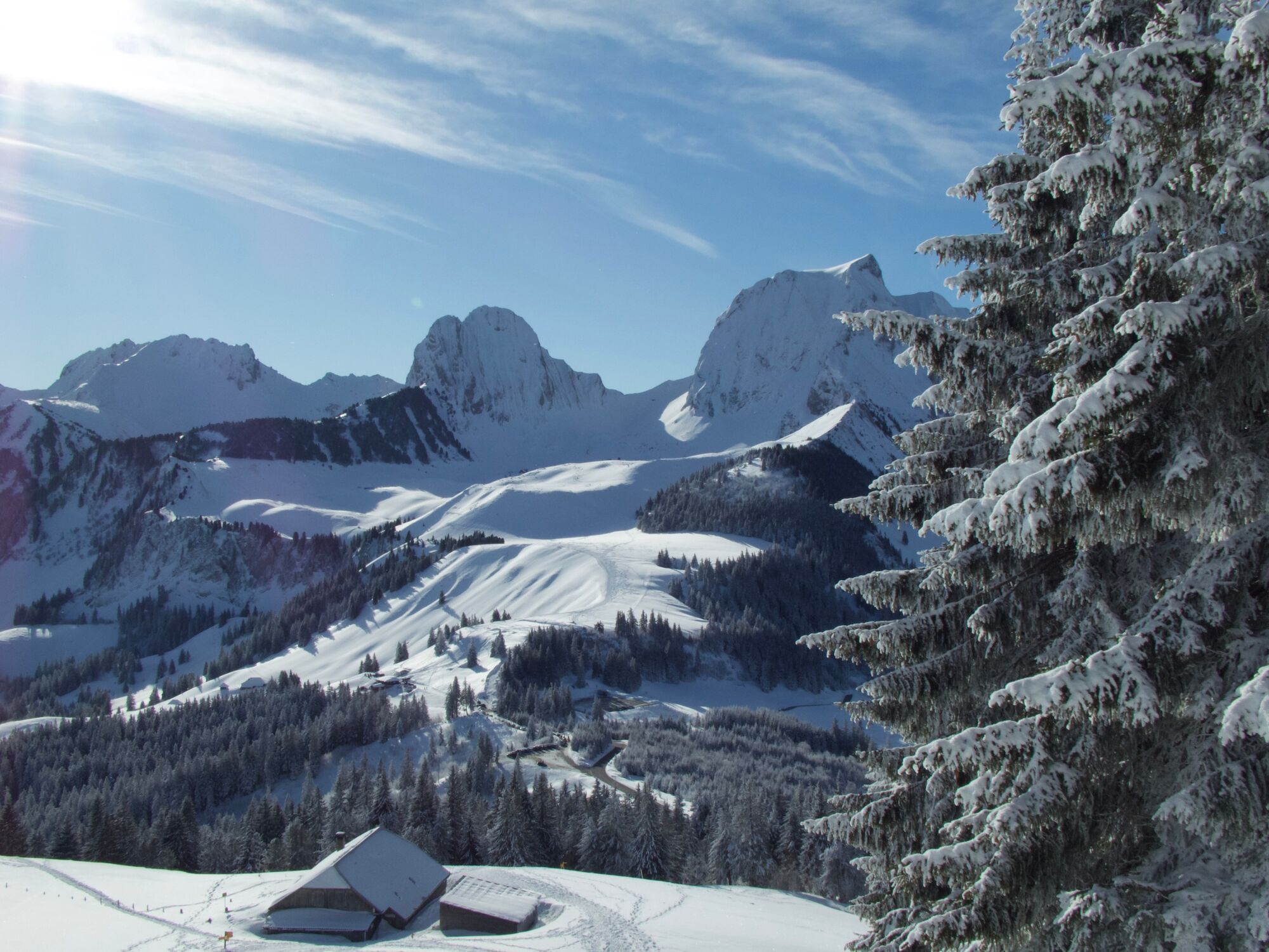
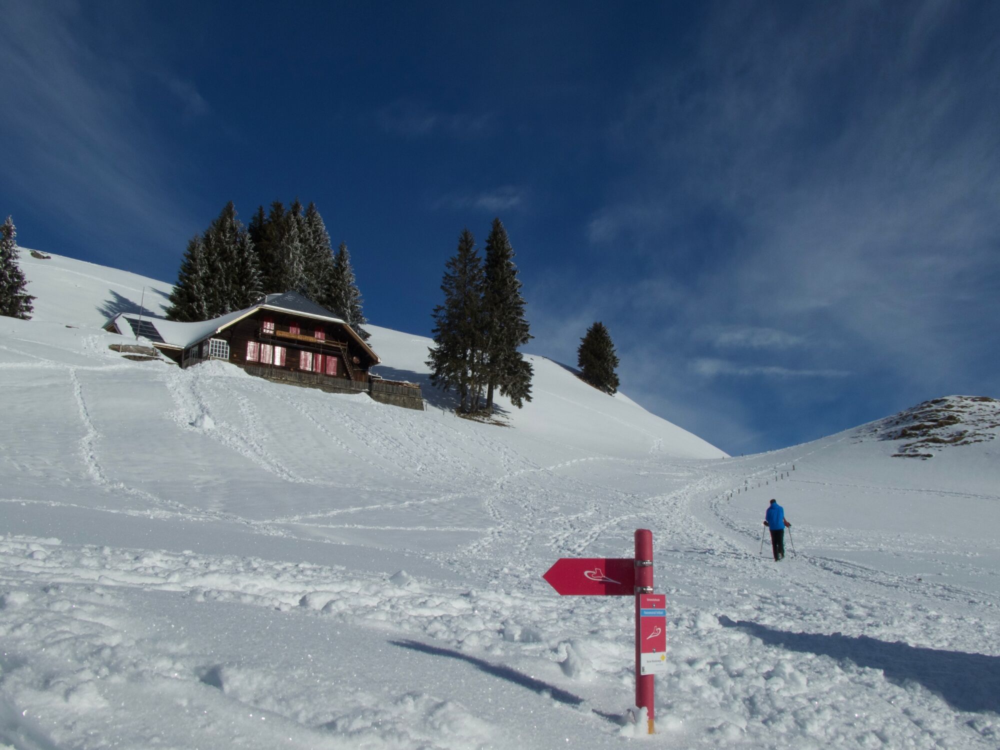
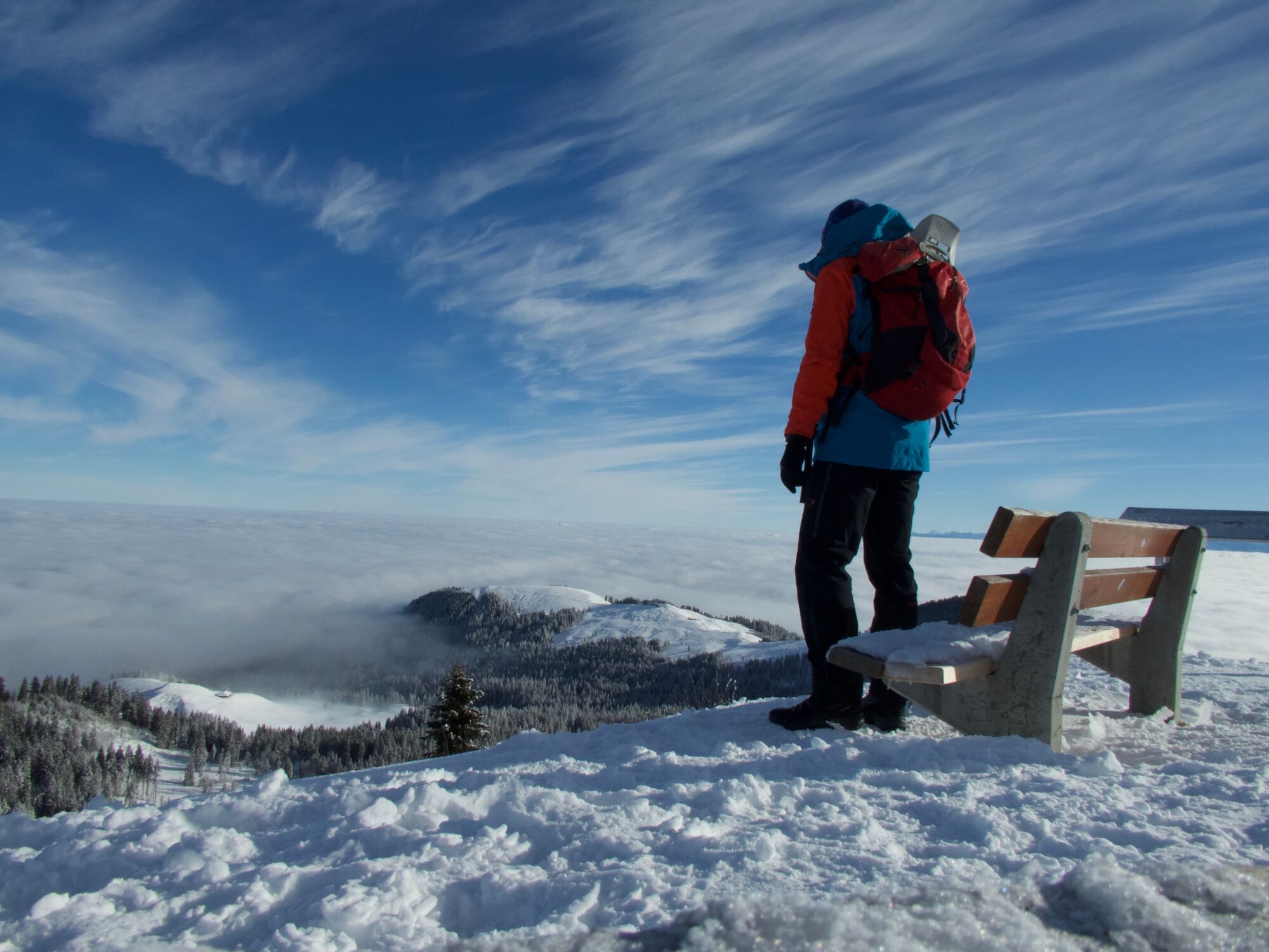
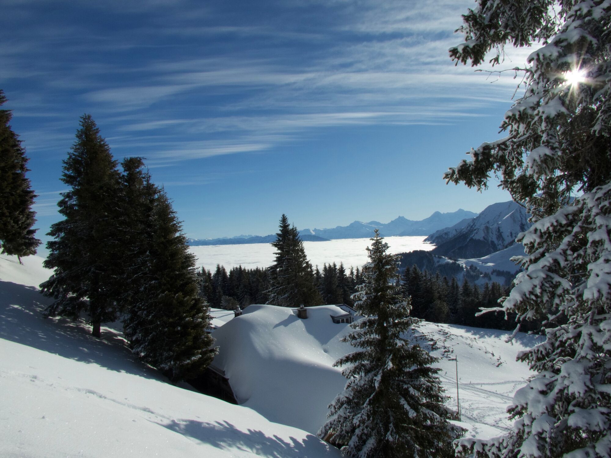
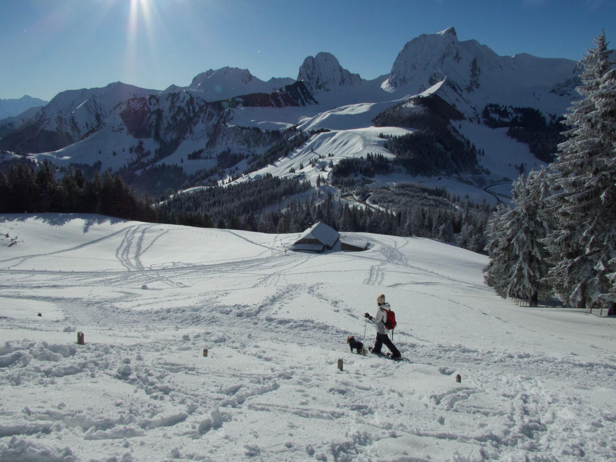
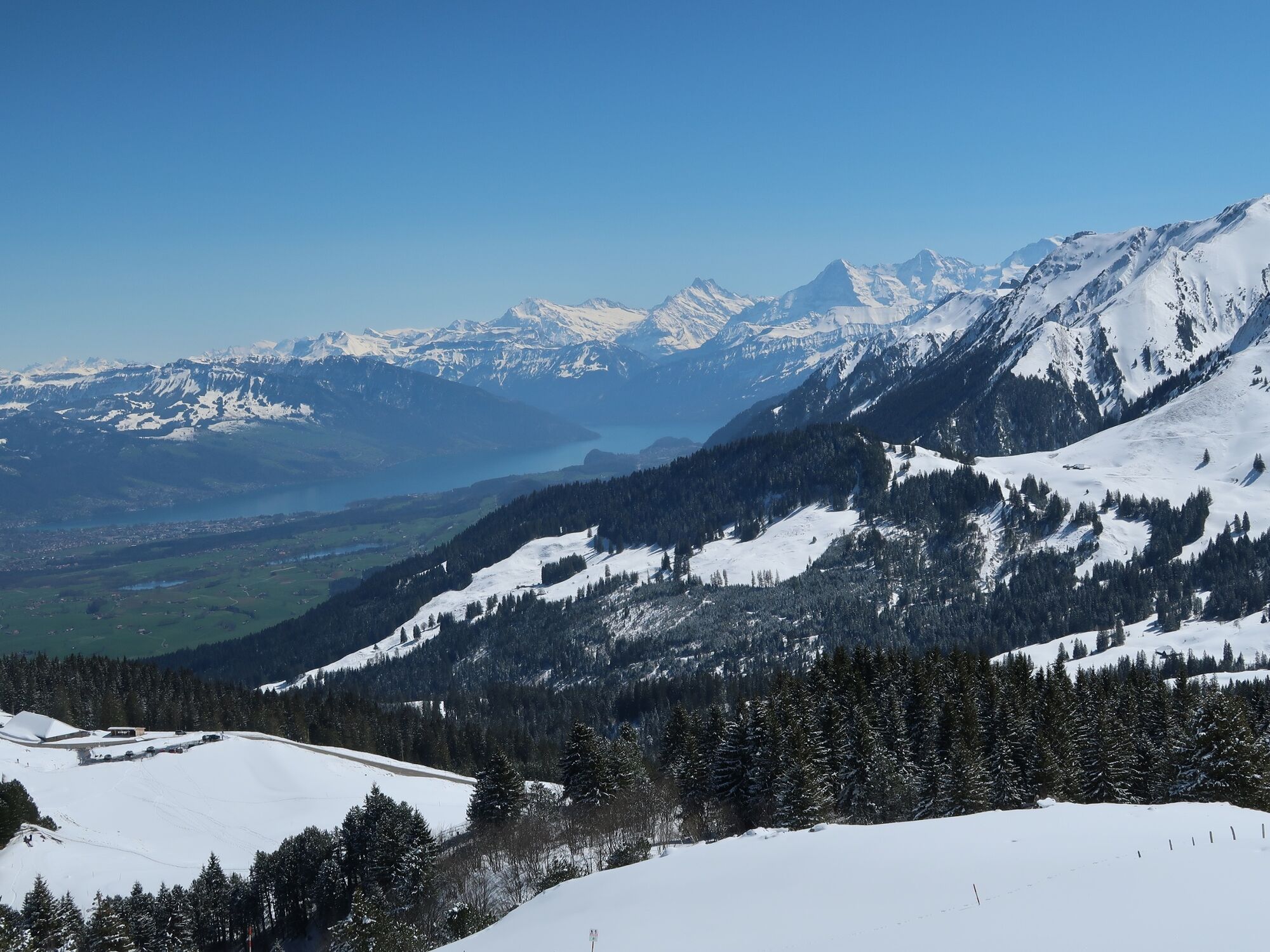
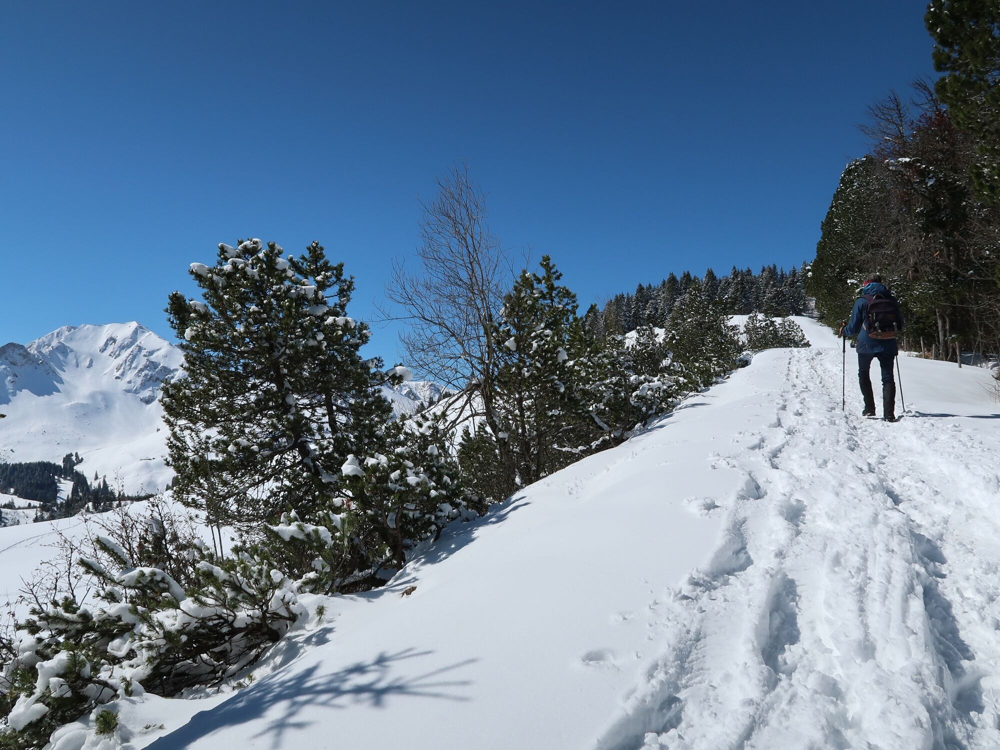
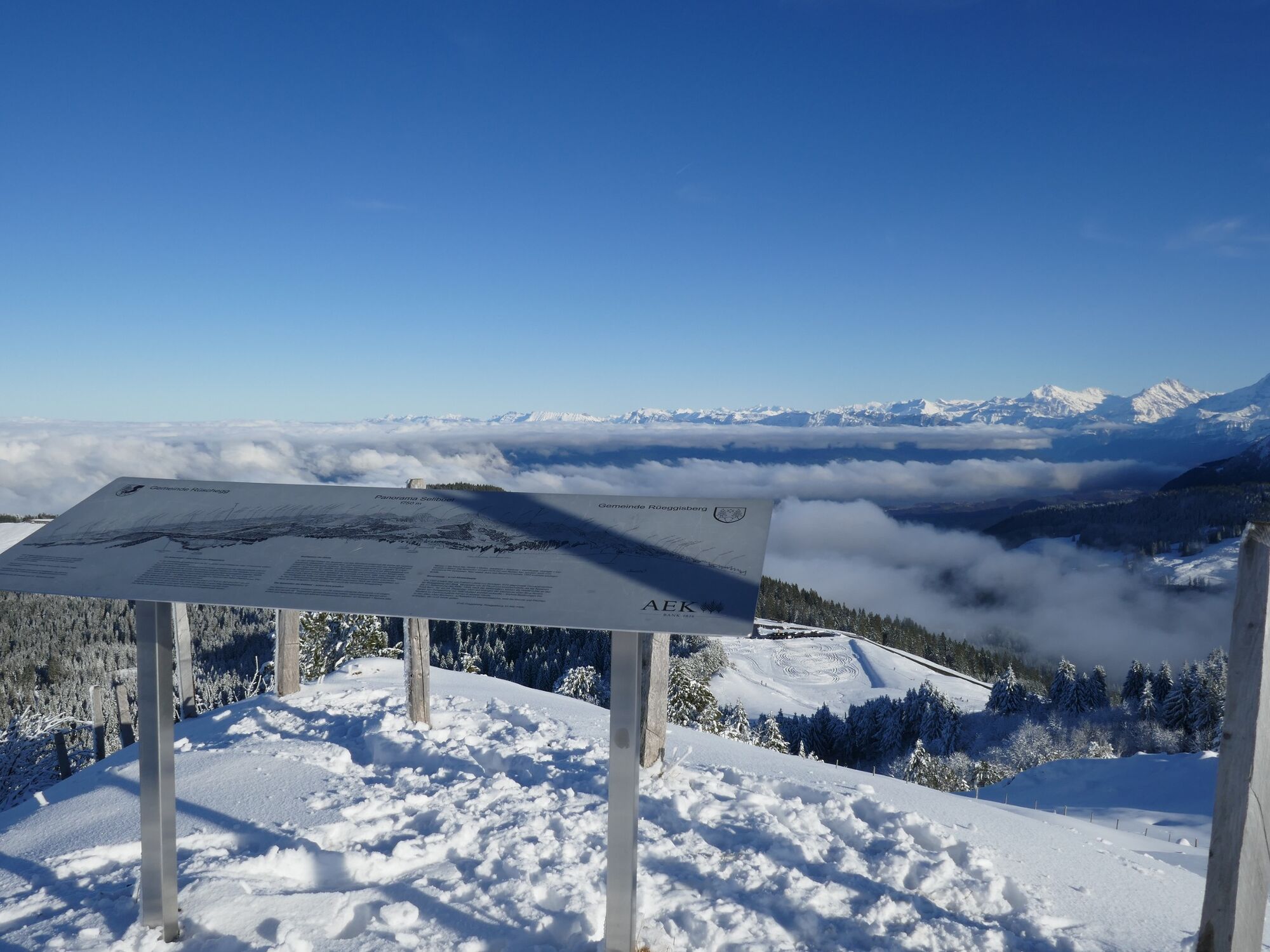
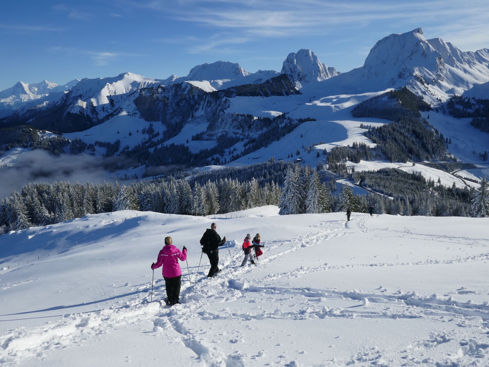
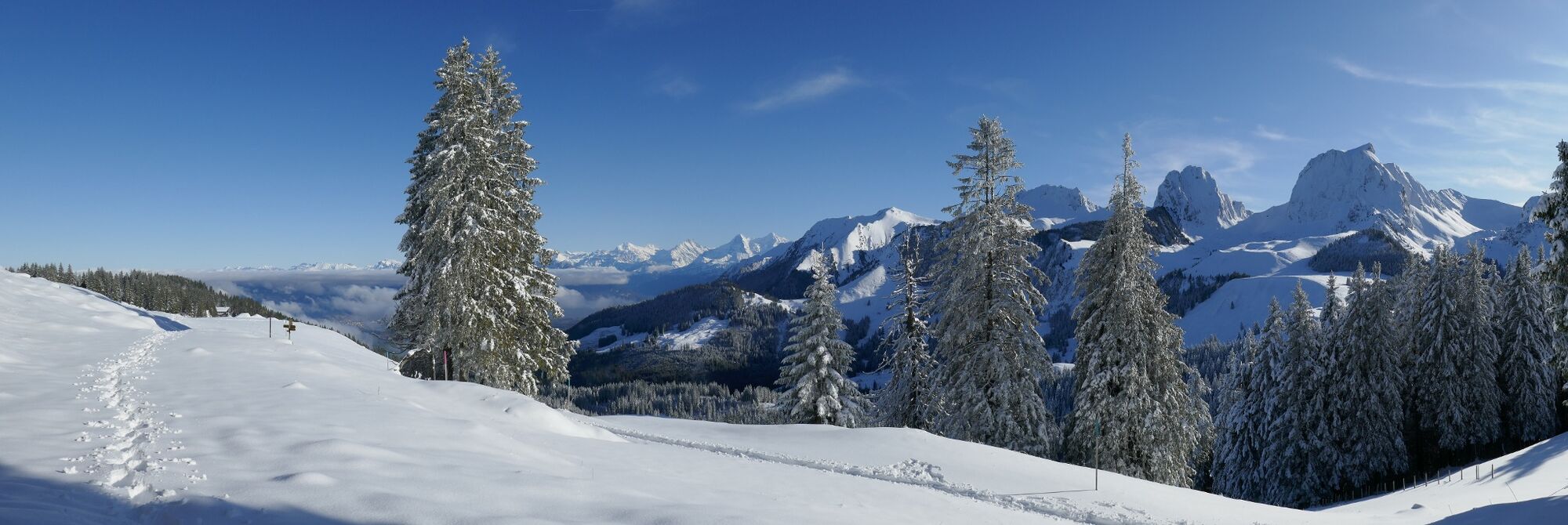
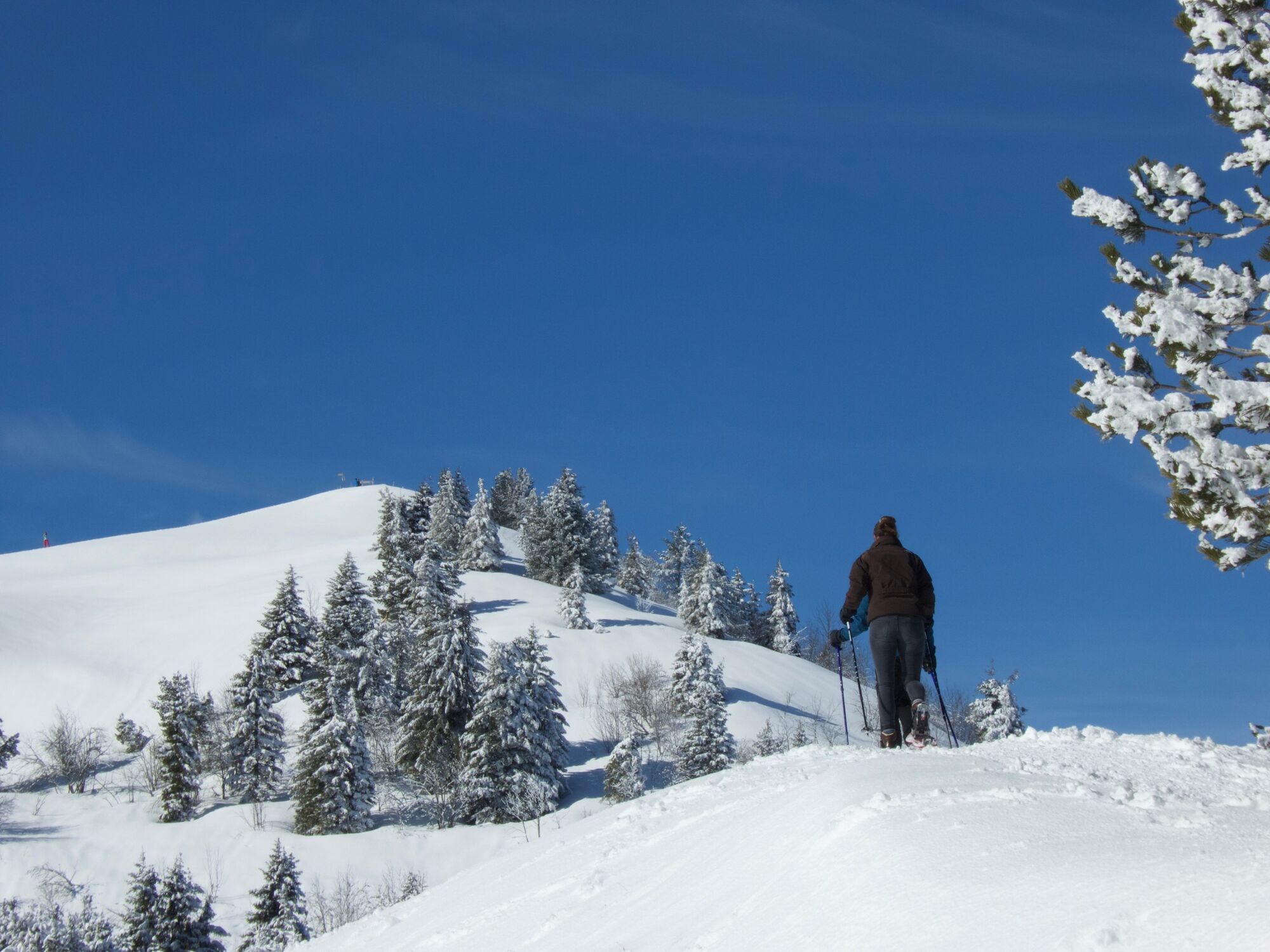
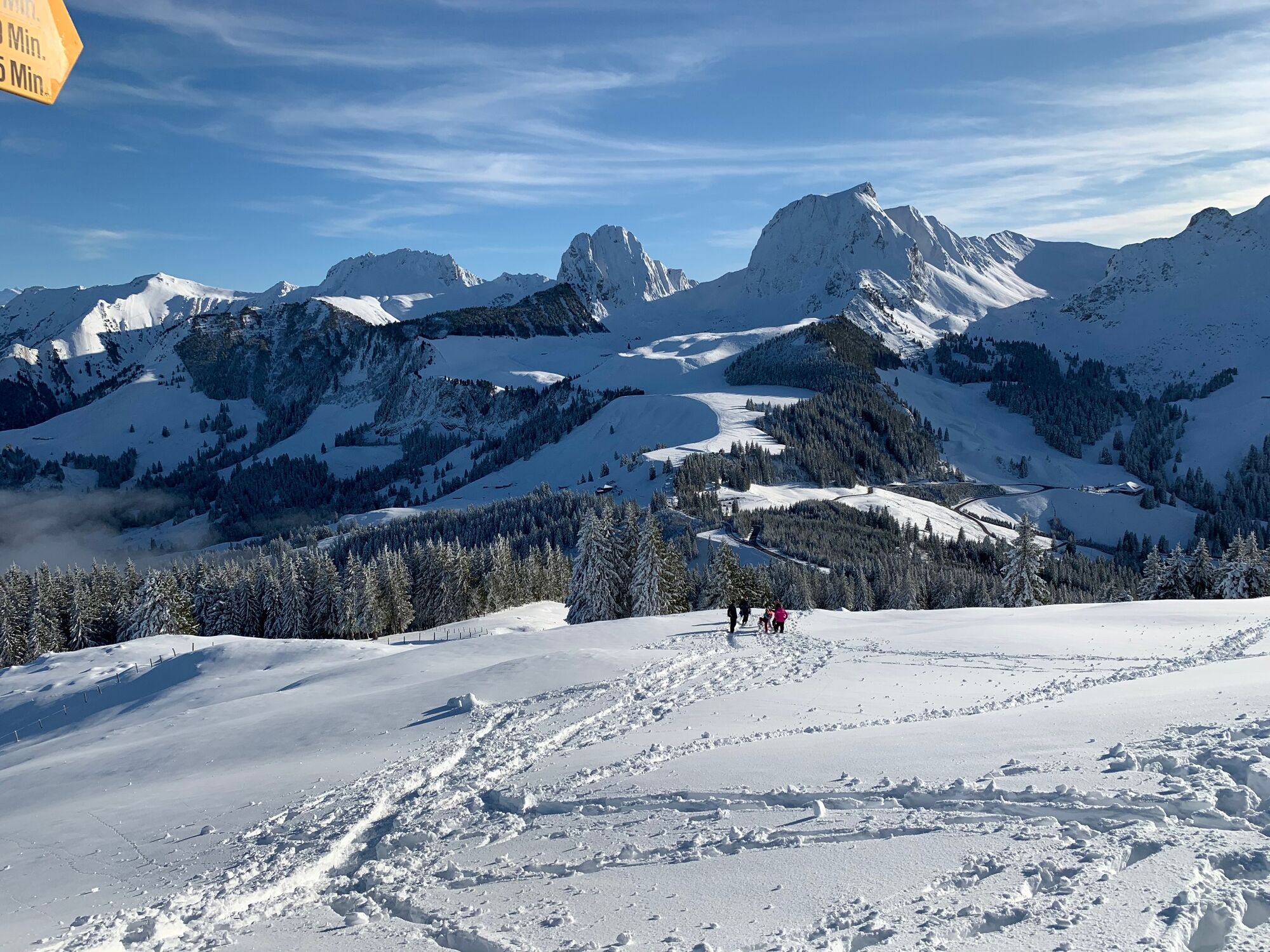
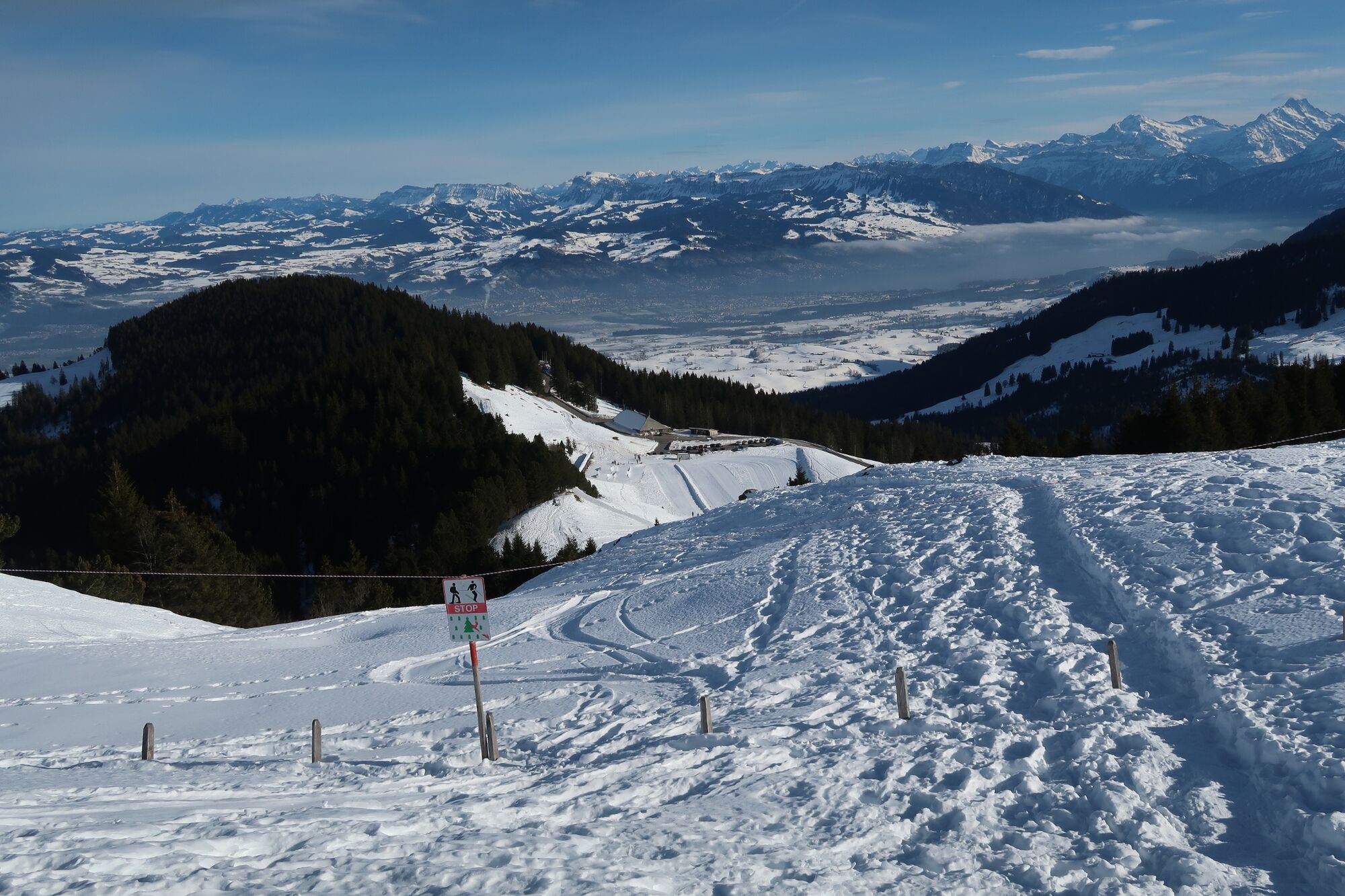
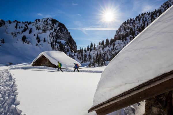
The classic winter route in the wooded hills of the Gurnigel, high above the Mittelland, starts opposite the Stierenhütte. First you climb up to the ridge path next to the snow-covered car park platform. The panorama of the striking Gantrisch mountains presents itself for the first time. Deeply snow-covered fir trees line the path along the ridge, which you leave shortly to the right into the forest. The path leads gently downhill through the steep, shady flank of the Selibüel. The landscape is characterised by dense woodland and stands of lyme pine. The trail leads through a wildlife sanctuary and hikers are asked to follow the markings. The trail soon climbs and reaches the saddle at Gauchit. From time to time, the view between the fir trees to the right towards the Mittelland and the Jura becomes clear. Now the trail leads around the south side of the Selibüel, keeping to the top. Lined up on our right are the peaks of the Gantrischberge from Ochse to Nünenen. After almost circling the Selibüel, we now head up the southern slope from Alp Selibüel to the summit. This detour is definitely worthwhile. At the top of the Selibüel summit, there are benches to rest on and a magnificent 360° panoramic view of the snow-covered Jura and the snow-covered Alpine chain. On a clear day, you can see Lake Thun and the Eiger, Mönch and Jungfrau. The Nünenenfluh and the Gantrisch also form an impressive backdrop. Towards the north, in good weather, the view extends as far as the Chasseral, the highest peak in the Bernese Jura.
The trail descends along the same route to Alp Selibüel and finally back to the start.
The trail can be reached from the Stierenhütte and Wasserscheide car parks as well as from the Gurnigel mountain hut. Caution is advised on the northern slopes of Selibüel when there is a risk of avalanches at lower altitudes. The route can often be used as a winter hiking trail after many ascents and long periods without snowfall. The entire snowshoe route follows the network of official summer hiking trails.
- Highest point
- 1,741 m
- Endpoint
-
Berghaus Gurnigel (altitude: 1593 m)
- Height profile
-
 © outdooractive.com
 - Equipment
-
Equipment hire
Alpinatours
Kapellenstrasse 18
CH - 3011 Bern
Tel: +41 (0)31 382 65 30
Mountain-Event Wintersport Gantrisch
CH - 4537 Wiedlisbach
Tel: +41 (0)32 636 36 61
Internet: www.berg-event.ch
- Safety instructions
-
From Berghaus Gurnigel Pt. 1594 m westwards along the edge of the forest, traversing the Selibüel north slope (avalanche danger*) to Pt. 1657. From there on the hiking trail to the hut at point 1670. A detour leads past the Selibühlhaus to the Selibüel viewpoint at 1750 m (watch out for wildlife**). Back and eastwards to the starting point. Please use the official hiking trail so as not to disturb the black grouse**
*If the avalanche danger on www.slf.ch is "considerable" to "very high" for this area, do not pass without knowledge, equipment and/or a mountain guide.
** It is essential to use the official hiking trail on the south side to avoid disturbing the black grouse. The Engländerweg is closed.
- Additional information
- Public transportation
- Parking
- Author
-
The tour Selibüel Panorama Trail (SwitzerlandMobility 113) is used by outdooractive.com provided.


")
