- Brief description
-
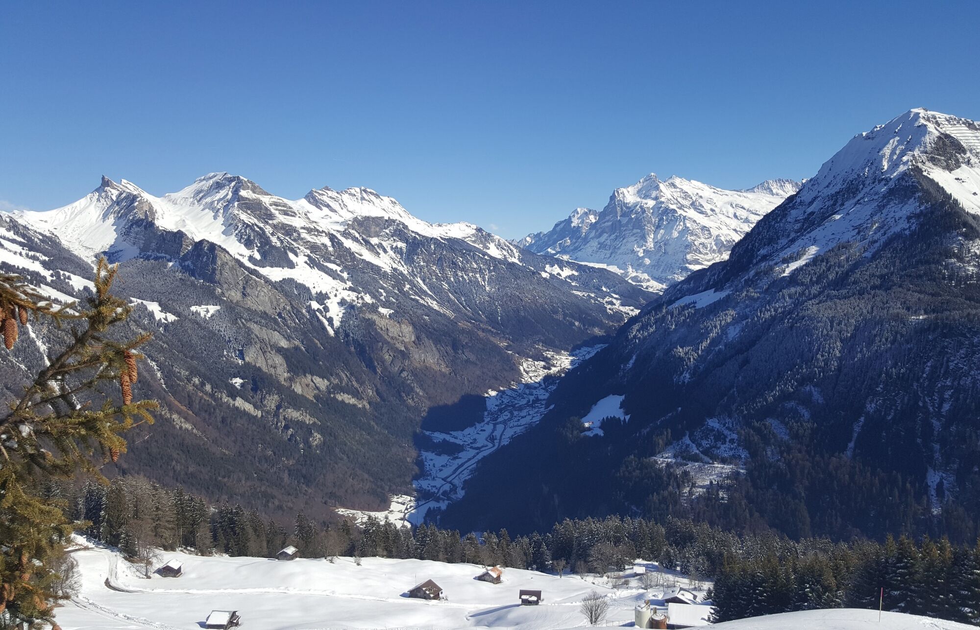
Sit back and relax on the terrace of the Sulwald-Stübli and let your gaze wander over the majestic trio of the Eiger, Mönch and Jungfrau and into the Upper Lauterbrunnen Valley. But be careful: the view is so inviting that you may forget the upcoming snowshoe tour.
- Difficulty
-
easy
- Rating
-
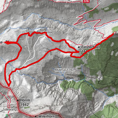
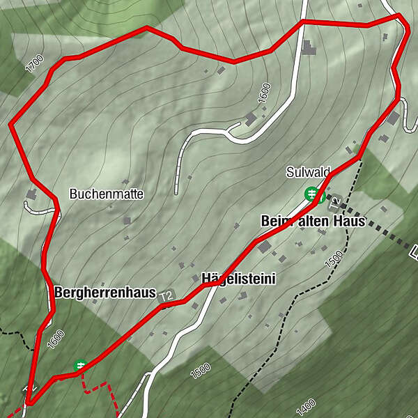
- Route
-
Sulwald-Stübli (1,520 m)0.0 kmBeim alten Haus0.0 kmHägelisteini0.2 kmBergherrenhaus0.3 kmSulwald2.1 km
- Best season
-
AugSepOctNovDecJanFebMarAprMayJunJul
- Description
-
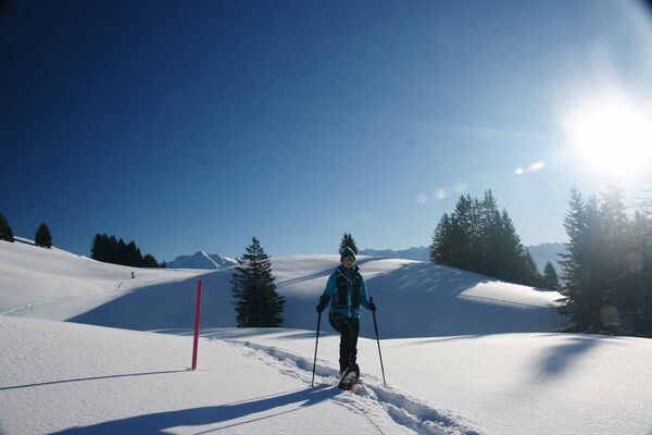
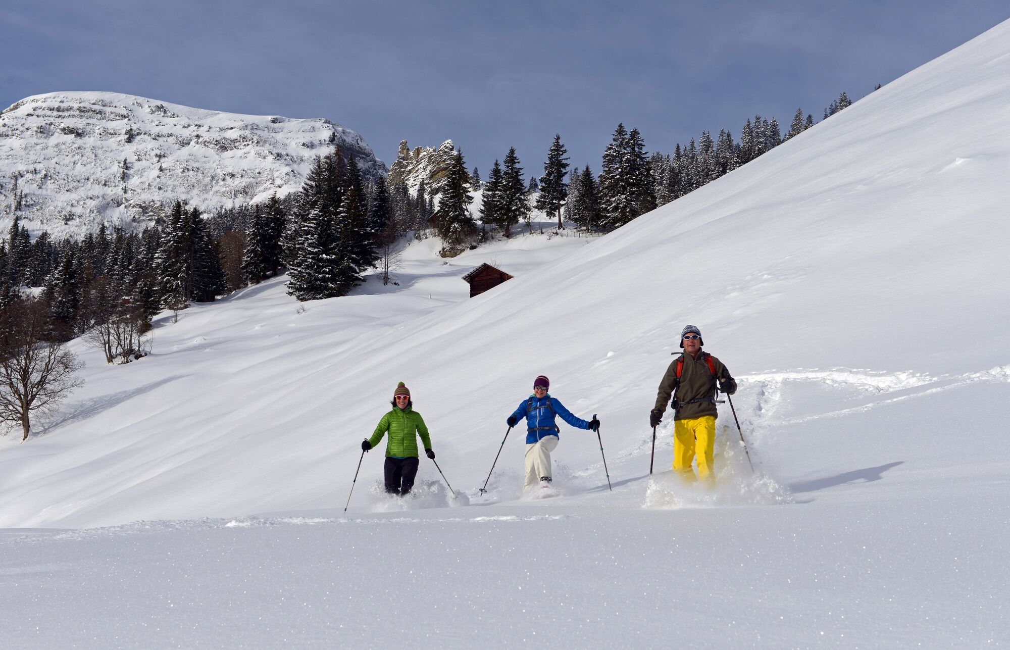
The cabin really isn't that big. It only has space for eight people – or one cow. The cable car ride up to Sulwald takes about ten minutes. The Sulwald-Stübli is located right next to the station. But be careful: the view from the terrace is so inviting that you may forget the upcoming snowshoe tour. The trail begins behind the Sulwald-Stübli. Following the «Sulwald Rundweg» sign, the trail first follows a wide road until it branches off to the right and begins the ascent. After a leisurely initial ascent, you can continue uphill towards the Lobhorn hut. The Sulwald Trail turns right here and continues uphill through the snow-covered forest to a large clearing where the Eiger, Mönch and Jungfrau are practically at eye level. The descent is then quick with snowshoes. Once on the road, the trail leads back to the Sulwald-Stübli.
- Highest point
- 1,683 m
- Endpoint
-
Sulwald
- Height profile
-
 © outdooractive.com
 - Tips
-
You can also reach the Lobhorn hut with snowshoes from Sulwald.

- Author
-
The tour Sulwald Trail is used by outdooractive.com provided.


General info
-
Aletsch Arena
131
-
Interlaken
81
-
Lauterbrunnen
22