
- Brief description
-
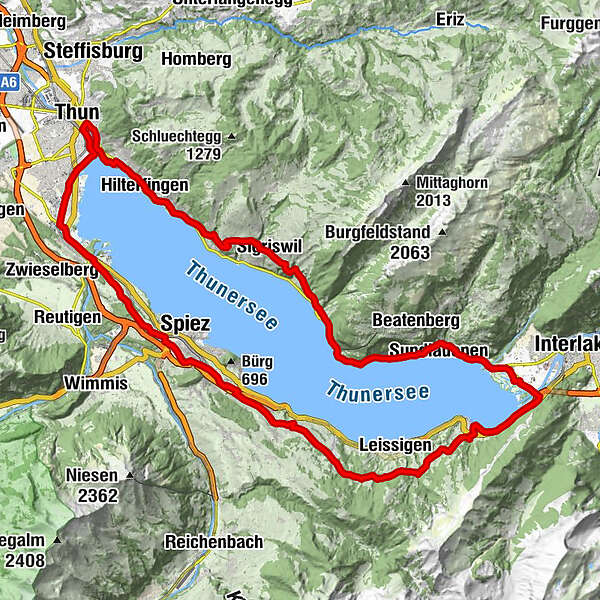
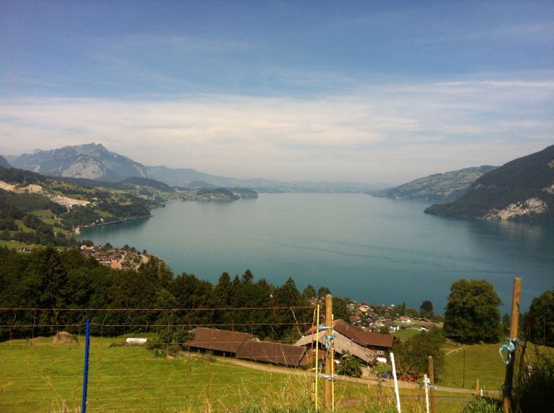
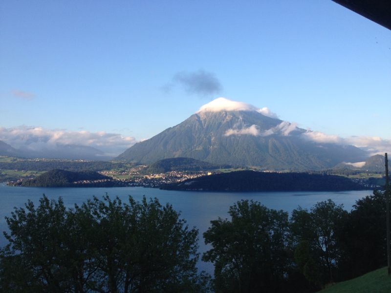
A gorgeous panoramic loop with two suspension bridges leads you around Lake Thun.
- Difficulty
-
medium
- Rating
-
- Starting point
-
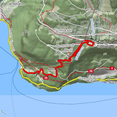
Sigriswil
- Route
-
Panorama0.2 kmLängenschachen (See) (560 m)2.8 kmLängenschachen2.8 kmSchloss3.8 kmOberhofen (585 m)3.9 kmHilterfingen (562 m)4.9 kmSpielplatz Hünegg5.5 kmHünibach6.3 kmThun (560 m)8.6 kmThun (560 m)8.9 kmThun (See) (560 m)9.0 kmIglesia Scherzligen9.9 kmFEG Gwatt12.8 kmLamm13.2 kmRössli13.3 kmSpiez18.9 kmSpiezerfeld21.2 kmFaulensee21.9 kmEybühl24.9 kmKrattigen (711 m)25.5 kmGuppeholz28.1 kmOerliweid28.4 kmChüngstuel (895 m)29.8 kmStutz30.5 kmMeielisalp (800 m)31.8 kmEgg31.8 kmStoffelberg32.1 kmChossi32.6 kmFenki33.7 kmDärligen (561 m)34.4 kmRossmeder38.2 kmWidezun38.5 kmLischzun38.6 kmMoos39.0 kmRestaurant Landhaus40.2 kmSundlauenen42.0 kmBuffet Seerestaurant Beatenbucht46.2 kmBeatenbucht (See) (565 m)46.3 kmMerligen (567 m)47.6 kmKirche Merligen48.0 kmOpete48.4 kmEiget49.4 kmEndorf50.6 kmSigriswil (810 m)51.1 kmKirche Sigriswil51.4 km
- Best season
-
JanFebMarAprMayJunJulAugSepOctNovDec
- Description
-
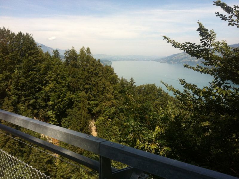
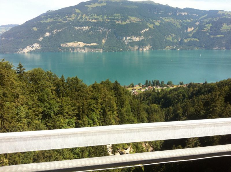
This bicycle tour along the panoramic circular trail around Lake Thun reveals ever-changing views of the deep blue waters and surrounding mountains. The loop takes you from Sigriswil to Oberhofen and then via Hünibach to Thun. Along the way you pass idyllic villages, green meadows and even historic buildings and castles. In the pleasant town of Thun, it's worth making a short stop to recharge your batteries in one of the restaurants located directly on the Aare. The route continues via Gwatt and Spiez to Krattigen.
This is followed by a challenging ascent on a hiking trail with a short descent of stairs to the suspension bridge in Leissigen. The descent to Därligen is not without its challenges either, over hill and dale along a hiking trail with obstacles that are difficult to pass. The bike has to be pushed in places.
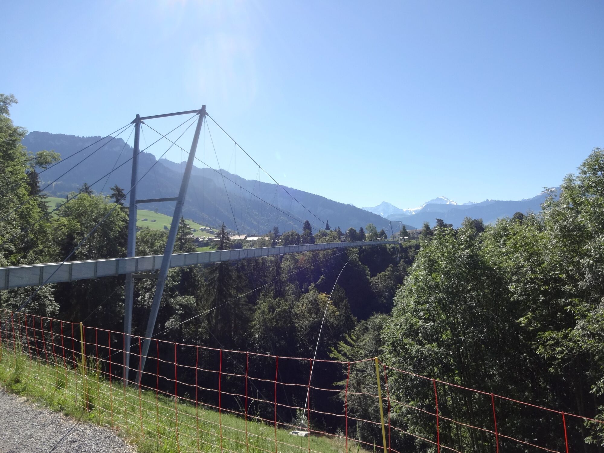
Is that too strenuous for you? Cycle around this section from Krattigen through the village of Leissigen to Därligen on the cycle path along the main road. After Unterseen, a short climb leads to the St. Beatus Caves, on to Merligen and back to Sigriswil. The tour mostly leads along roads with little traffic and natural roads, except between Sundlauenen (St. Beatus Caves) and Merligen. A beautiful view of the mountains and the lake is guaranteed. Two highlights await you on the way: The crossing of the 340-metre-long and 180-metre-high panoramic suspension bridge in Sigriswil and the 142-metre-long suspension bridge in Leissigen.
- Directions
-
Sigriswil - Aeschlen - Oberhofen - Hünibach - Thun - Gwatt - Einigen - Spiezmoos - Krattigen - Meielisalp - Därligen - Unterseen - St. Beatus-Höhlen - Merligen - Sigriswil or the opposite direction.
- Highest point
- 983 m
- Endpoint
-
Sigriswil
- Height profile
-
 © outdooractive.com
 - Safety instructions
-
Short descent down steps before the suspension bridge at Leissigen
- Tips
-
Crossing the suspension bridge at Sigriswil costs CHF 8.00 with the PanoramaCard Thunersee (guest card) and with the VCS membership card CHF 4.00. Children up to 16 years are free.
If you choose the alternative route, the following information applies:
Time: 3.5h
fitness level: 4
Adventure value: 4
Technique: 2 - Additional information
-
Information regarding duration, fitness requirements and technique depend on the chosen bike type (i.e. mountain bike, e-bike, touring bike, racing bike). These are approximate guidelines.
Interlaken Tourismus
Marktgasse 1
3800 Interlaken
Phone: +41 33 826 53 00
mail@interlakentourism.ch
www.interlaken.chThun-Thunersee Tourismus
Seestrasse 2
3601 Thun
Phone: +41 33 225 90 00
info@thunersee.ch
www.thunersee.ch
Verein Panorama Rundweg Thunersee
Geschäftsstelle
Postfach
CH-3601 Thun
brueckenweg@thunersee.ch
www.brueckenweg.ch
- Author
-
The tour Lake Thun Loop is used by outdooractive.com provided.


General info
-
Aletsch Arena
129
-
Thunersee
77
-
Merligen
25