- Difficulty
-
easy
- Rating
-
- Starting point
-
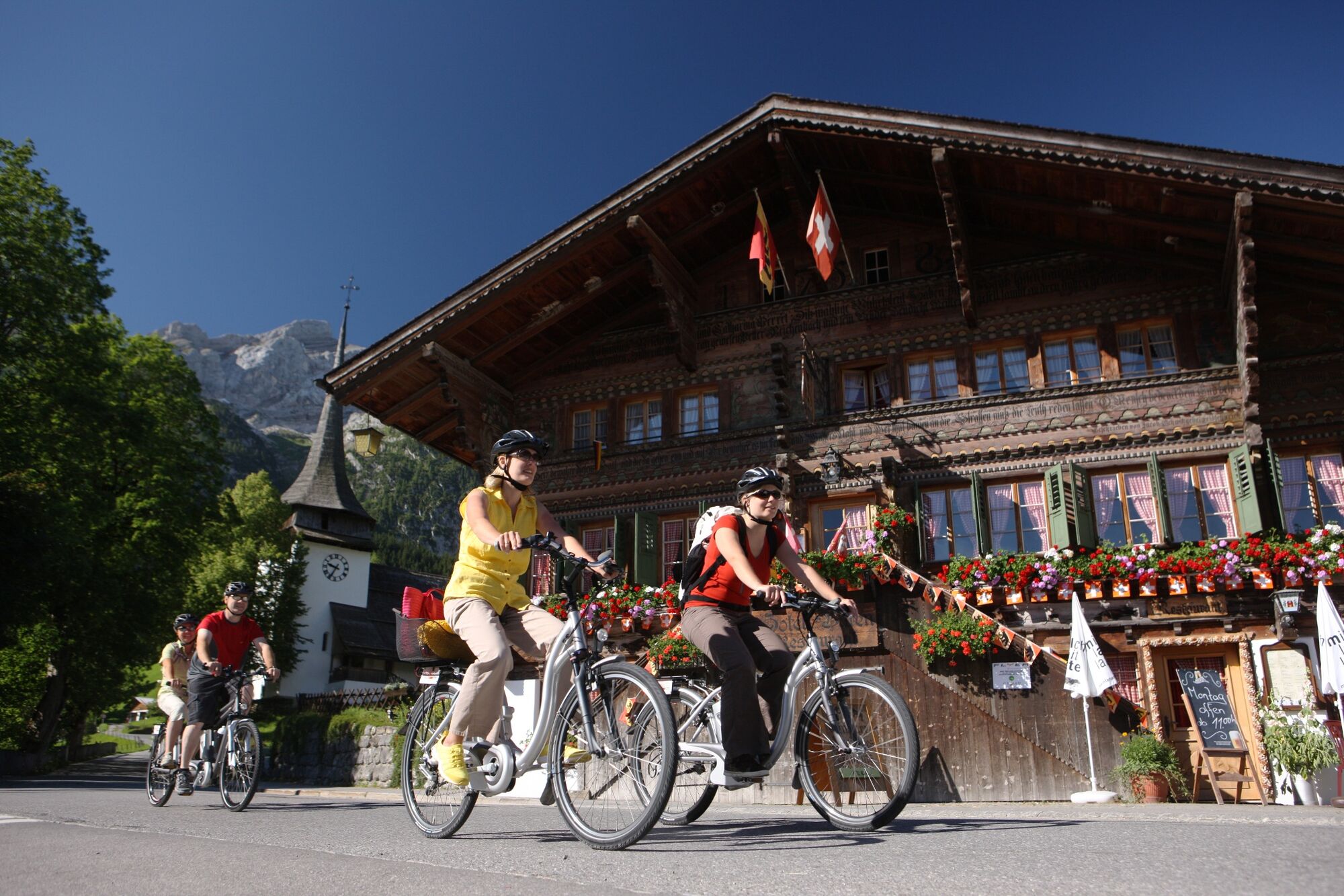
Saanen
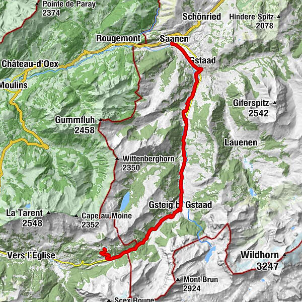
- Route
-
Saanen (1,014 m)0.1 kmGstaad (1,050 m)2.8 kmChesery9.5 kmFeutersoey9.9 kmGasthaus Rössli10.1 kmSanetsch13.4 kmGsteig b. Gstaad (1,184 m)13.5 kmBären13.5 kmHeiti14.4 kmRestaurant du Col du Pillon20.4 kmRestaurant du Lac Retaud22.4 km
- Best season
-
JanFebMarAprMayJunJulAugSepOctNovDec
- Description
-
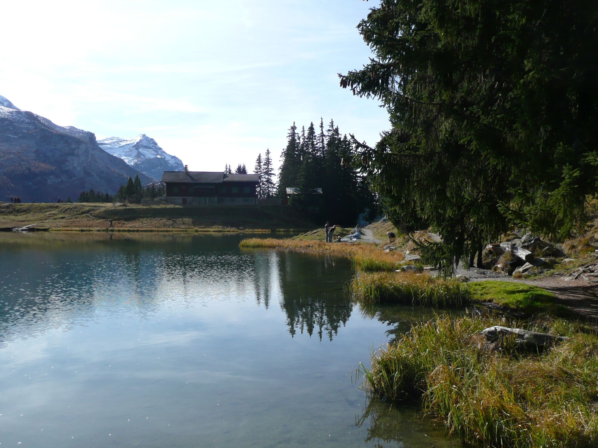
From Feutersoey continue on the street to Gsteig and follow the mountain pass to
Col du Pillon. From the top of the pass, there is a final significant climb of about 150 metres up to the Lake Retaud (swimming is possible). The area is the perfect place for a picnic. - Directions
-
Saanen - Gstaad - Gsteig - Col du Pillon - Lac Retaud
- Highest point
- 1,683 m
- Endpoint
-
Lac Retaud
- Height profile
-
 © outdooractive.com
 - Equipment
-
Clothing and equipment appropriate to the weather, tool kit and first aid kit.
- Tips
-
Possibility to charge the bike's battery with your own device: hotel-restaurant Bären Gsteig; restaurant du Col du Pillon.
- Additional information
- Directions
-
The Destination Gstaad is located in the south-west of Switzerland right on the border to the French-speaking part of the country. The Destination is easily accessed by rail or car from the regions around Lake Thun and Lake Geneva and the Gruyere region Direct connections to the European high-speed rail network and all international airports in Switzerland guarantee a time-saving and pleasant journey.
- Public transportation
-
Saanen station
- Parking
-
There are several parking facilities in the village of Saanen:
Parking Zentrum, Bahnhofplatz, Märetplatz, Pfrundmätteli or Floraplatz.


-

-
AuthorThe tour Saanen - Gstaad - Gsteig - Col du Pillon - Lac Retaud is used by outdooractive.com provided.
GPS Downloads


General info
A lot of view
Other tours in the regions