- Brief description
-
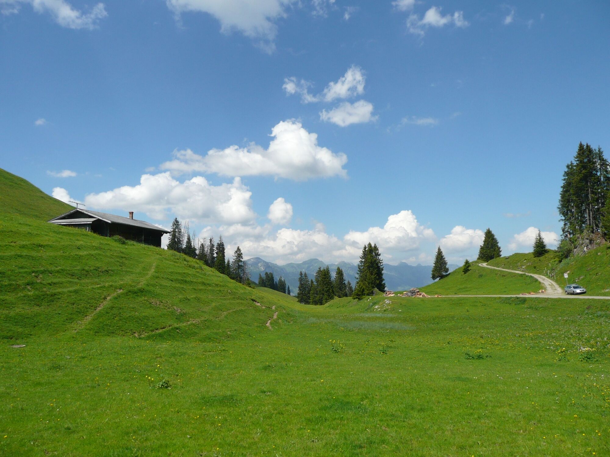
One of our beautiful dead ends.
- Difficulty
-
medium
- Rating
-
- Starting point
-
Zweisimmen, railway station
- Route
-
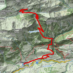
Zweisimmen (942 m)0.0 kmBrasserie Zur Simme0.1 kmBären0.3 kmZeugen Jehovas0.3 kmZeugen Jehovas16.7 kmBären16.7 kmBrasserie Zur Simme16.9 kmZweisimmen17.0 km
- Best season
-
JanFebMarAprMayJunJulAugSepOctNovDec
- Description
-
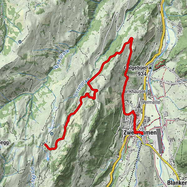
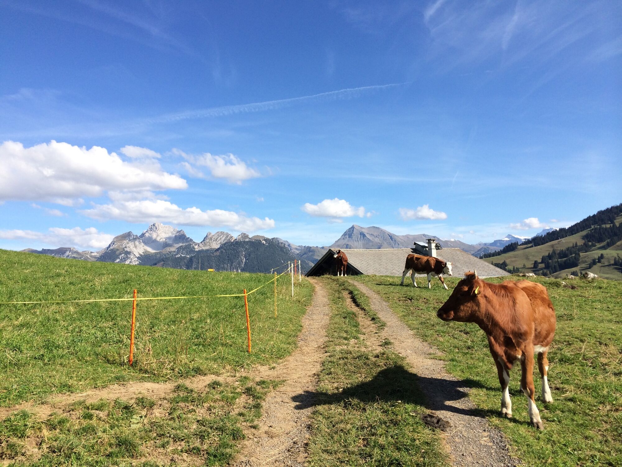
After Zweisimmen the road winds up to Sparenmoos. Once you reach the top, bikers can experience a unique mire landscape and fabulous views.
- Directions
-
Zweisimmen - Sparenmoos - Zweisimmen
- Highest point
- 1,630 m
- Endpoint
-
Zweisimmen, railway station
- Height profile
-
 © outdooractive.com
 - Equipment
-
Clothing and equipment appropriate to the weather, tool kit and first aid kit.
- Tips
-
www.strava.com/segments/6996405
- Additional information
- Directions
-
The Destination Gstaad is located in the south-west of Switzerland right on the border to the French-speaking part of the country. The Destination is easily accessed by rail or car from the regions around Lake Thun and Lake Geneva and the Gruyere region Direct connections to the European high-speed rail network and all international airports in Switzerland guarantee a time-saving and pleasant journey.
- Public transportation
-
Zweisimmen train station
- Parking
-
Zweisimmen, behind train station
-

-
AuthorThe tour Zweisimmen - Sparenmoos - Zweisimmen is used by outdooractive.com provided.
GPS Downloads


General info
Refreshment stop
A lot of view
Other tours in the regions
-
Alpes Vaudoises
101
-
Lenk-Simmental
82
-
Zweisimmen
34