


- Brief description
-
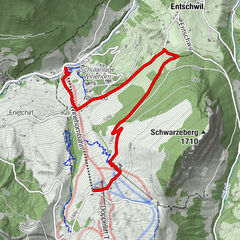
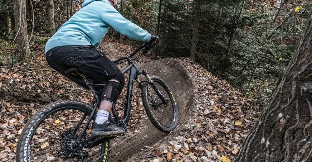
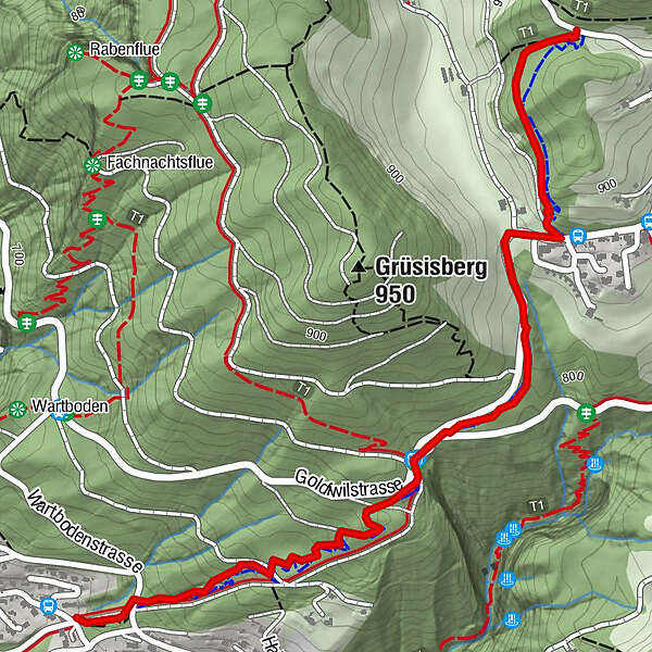
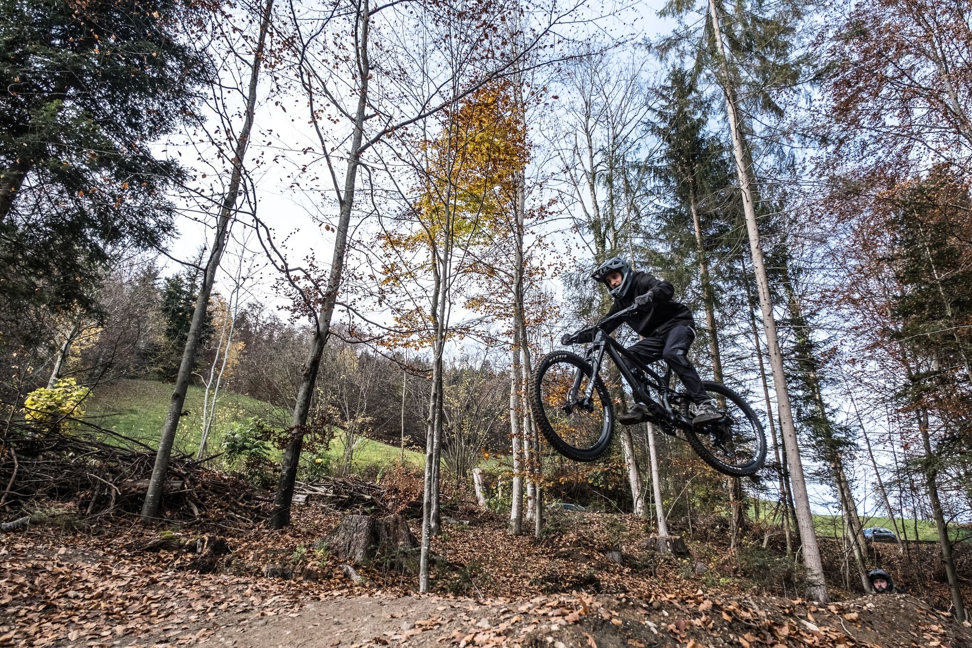
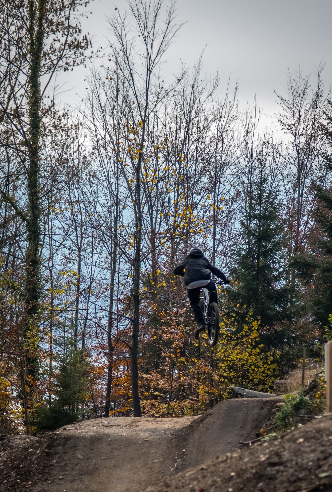
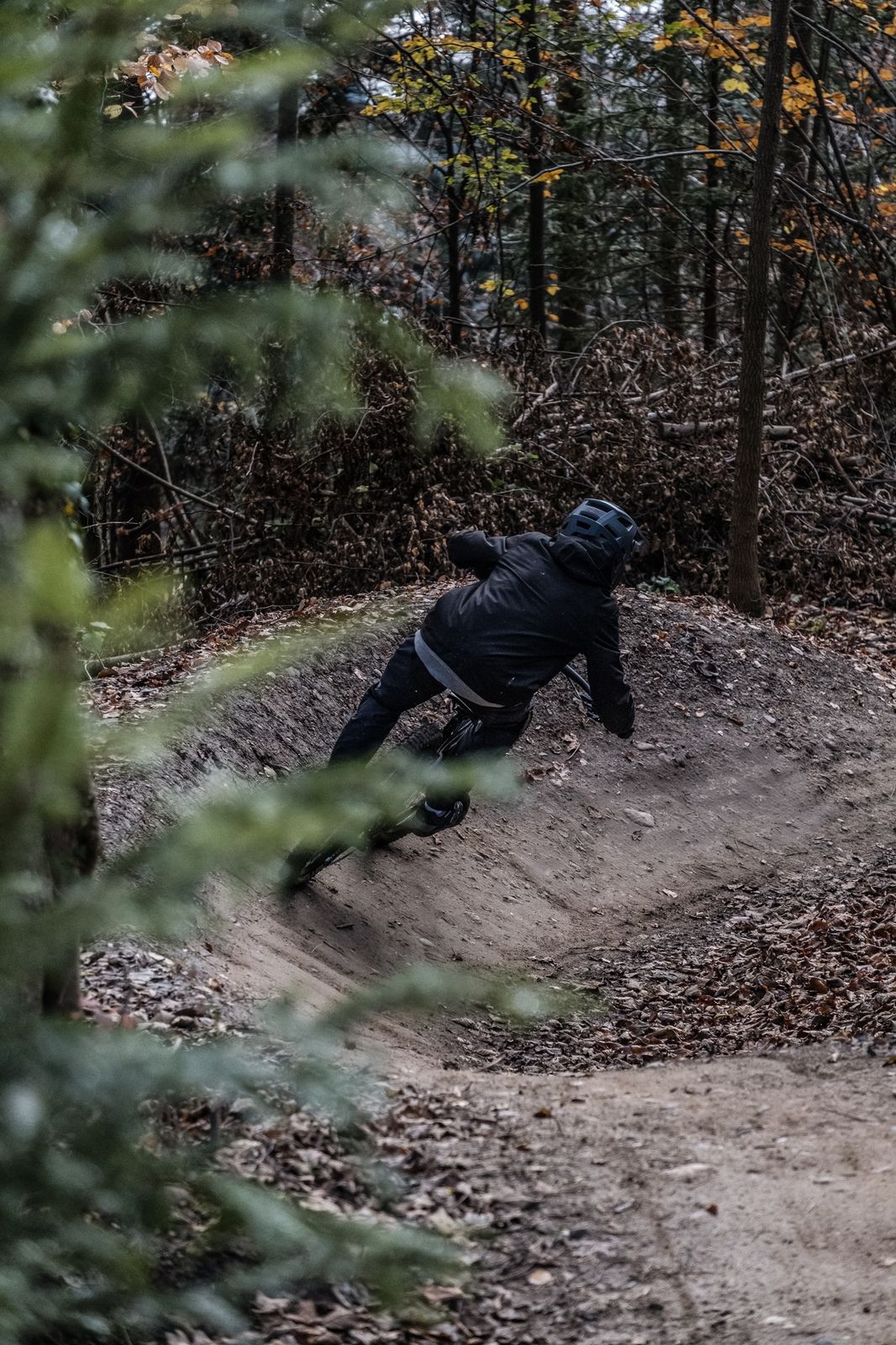
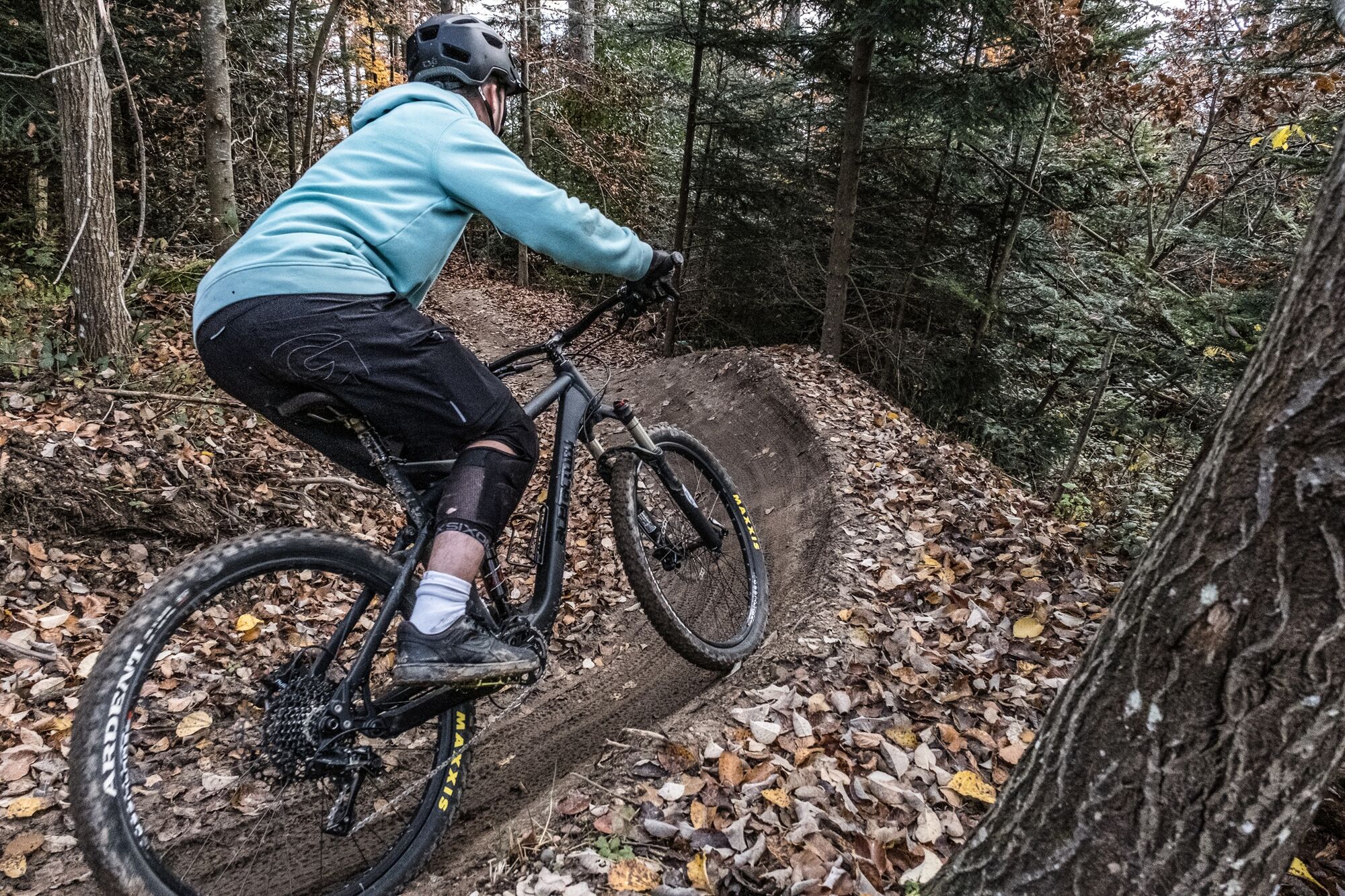
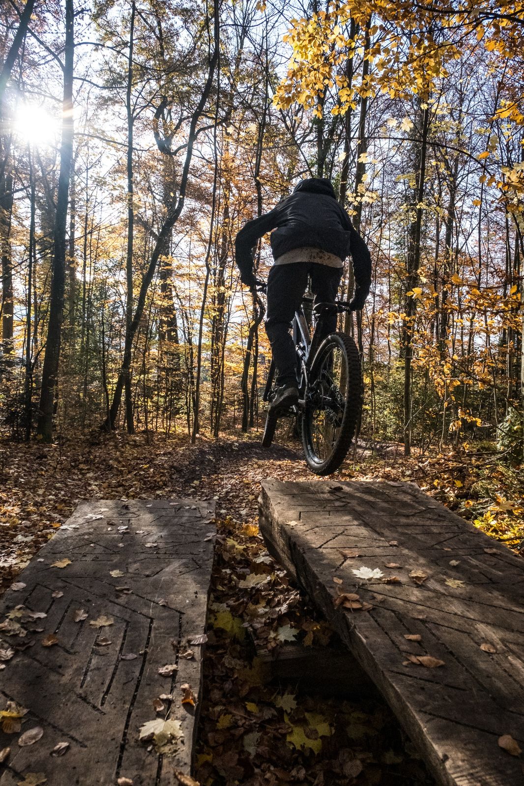
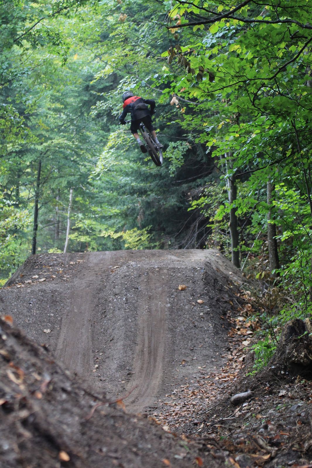
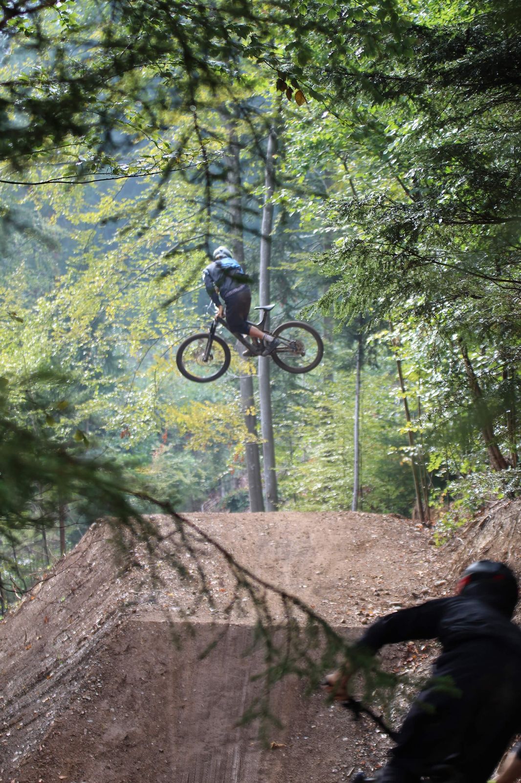
Starting at Goldiwil, the Goldiwheel Flowtrail winds through the woods to Thun. Waves, jumps and steep-walled bends plus sections left in their natural state (with roots protruding from soft forest floors) ensure variety. The highlight of the trail, which is suitable for fit and experienced bikers, is the jumpline, which has tables up to 11 metres long (although all elements can be traversed or ridden over).
- Difficulty
-
medium
- Rating
-
- Starting point
-
Goldiwil
- Route
-
Thun (560 m)2.2 km
- Best season
-
JanFebMarAprMayJunJulAugSepOctNovDec
- Description
-
Along with the Rabenfluh Trail, the Goldiwheel Trail is the second official trail for the city of Thun. The upper part comprises a flowing track into the Geissen valley; as you ride the waves and navigate skilfully around smooth bends, there is practically no need to touch the pedals. A short section of road then you brings you to an extended jumpline with an 11-metre table on the last jump – but don’t worry, the line starts with tables of 3-4 metres and all jumps can be ridden over or traversed. From this point on, much of the trail is man-made or natural. You finally arrive at Untere Wart in Thun, a five-minute cycle ride to the shuttle.
- Directions
-
Thun – Goldiwilstrasse - Goldiwil - Thun
- Highest point
- 916 m
- Endpoint
-
Thun
- Height profile
-
 © outdooractive.com
 - Equipment
-
Wear suitable biking gear, including helmet and pads.
- Safety instructions
-
Concentration is required, especially on the Goldiwilstrasse stretch. The speed limit is 80km/h.
- Tips
-
Hone your skills on the jumpline. Start with the small jumps in the top section and gradually build up to the bigger jumps.
- Additional information
- Public transportation
- Parking
-
There is a parking place by the jumpline.


- Author
-
The tour Goldiwheel Trail is used by outdooractive.com provided.