- Brief description
-
The Via Alpina runs right through the Swiss Alps and seven cantons. Over 14 Alpine passes from Vaduz (FL) to Montreux. 390 kilometres on foot over rough and smooth. The Via Alpina is also well known in Adelboden – the route runs along the VogellisiBerg.
- Difficulty
-
medium
- Rating
-
- Route
-
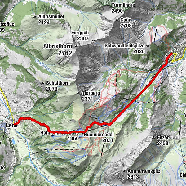
Dorfkirche0.1 kmAdelboden (1,350 m)0.1 kmOey0.7 kmEselmoos (1,427 m)1.8 kmSchattsite2.4 kmGeilsbrüggli3.1 kmGeilsbüel (1,707 m)3.1 kmBärgläger3.6 kmChatzenhubel6.4 kmBerghotel Hahnenmoospass7.6 kmHahnenmoos (1,955 m)7.6 kmHahnenmoospass (1,950 m)7.7 kmBühlberg9.9 kmLenk (1,068 m)12.8 km
- Best season
-
JanFebMarAprMayJunJulAugSepOctNovDec
- Description
-
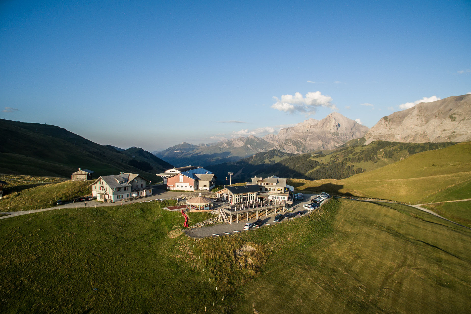
On the 15th stage of the Via Alpina from Adelboden to Lenk, mountain climbers hike from the village centre along the Allebach and later the Gilsbach through dense forests to Geils. Finally, they follow the hiking trail, which leads through alpine moorland to the Hahnenmoospass. From here you can enjoy the view of the Wildstrubel massif and the glacier La Plaine Morte. If you are lucky and the weather is fine, hikers can observe the many passionate pilots who fly their model gliders over the Hahnenmoos. Before descending into the Simmental, the mountain restaurant invites you to take a well-earned rest. Well-fortified, the Via Alpina leads from the top of the pass over gravel roads, pastures and past countless chalets down to Lenk village centre.
- Highest point
- 1,948 m
- Endpoint
-
Lenk
- Height profile
-
 © outdooractive.com
 - Equipment
-
No need for heavy shoes here: this easy hike is well marked in yellow or red and white and secured. Of course, it can be steep at times - but there are numerous mountain restaurants along the way.
- Safety instructions
-
Even open hiking trails may still be partially covered in snow. Hiking is at your own risk: Tourismus Adelboden-Lenk-Kandersteg accepts no liability for the use of local routes.
- Tips
-
Nature and culture accompany every tour - but which alpine themes are currently topical in the Adelboden-Lenk-Kandersteg destination? If you subscribe to our newsletter, you'll know what's going on along the way.
- Additional information
- Directions
-
By car via Frutigen to Adelboden.
- Public transportation
- Parking


-

-
AuthorThe tour Via Alpina - Stage 15 is used by outdooractive.com provided.


General info
-
Oberwallis
1872
-
Adelboden
987
-
Lenk im Simmental
296