© outdooractive.com

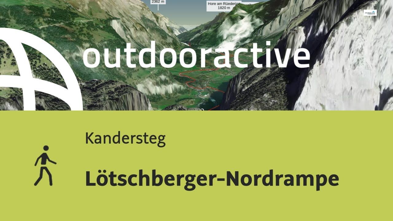
© Outdooractive – 3D Videos
- Difficulty
-
medium
- Rating
-
- Route
-
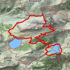
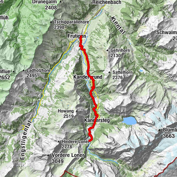
Kandersteg (1,176 m)2.8 kmKandersteg (1,174 m)3.1 kmUnderem Büel5.8 kmHundsprung7.0 kmA de Stütze8.5 kmConventio8.6 kmRoneweidli9.2 kmFürten9.5 kmKandergrund10.9 kmBunderbach11.2 kmBunderholz11.5 kmEngiweid12.3 kmReckental12.4 kmBahnhof12.4 kmSchmucki12.9 kmGuldeli13.3 kmRybrügg14.7 kmNeuapostolische Kirche16.9 kmFrutigen (799 m)17.0 kmFrutigen (779 m)17.3 km
- Best season
-
JanFebMarAprMayJunJulAugSepOctNovDec
- Description
-
DistancesThe walking time for the entire route (19 km) is approx. 5 hours. There are several options for shortening the walk. The walking trail leads past two bus stops (“Mitholz, Balmhorn” and “Kandergrund, Altels”) and can thus be shortened.
Shortest route, Eggenschwand–Kandersteg: 40 minsKandersteg–Mitholz–Frutigen: 4 hours 35 minsFrutigen–Kandergrund: 1 hour 40 minsMitholz–Kandergrund: 1 hour 10 minsKandersteg–Blausee–Mitholz: 1 hour 45 mins
A special brochure is available from mountain railway ticket offices, or from the Tourist Office.The route is not suitable for dogs (metal steps).
- Highest point
- 1,202 m
- Endpoint
-
Frutigen
- Height profile
-
 © outdooractive.com
-

-
AuthorThe tour Lötschberger-Nordrampe is used by outdooractive.com provided.
GPS Downloads


General info
A lot of view
Other tours in the regions
-
Oberwallis
1877
-
Ferienregion Kandertal
1109
-
Oeschinen - Kandersteg
255