


- Brief description
-
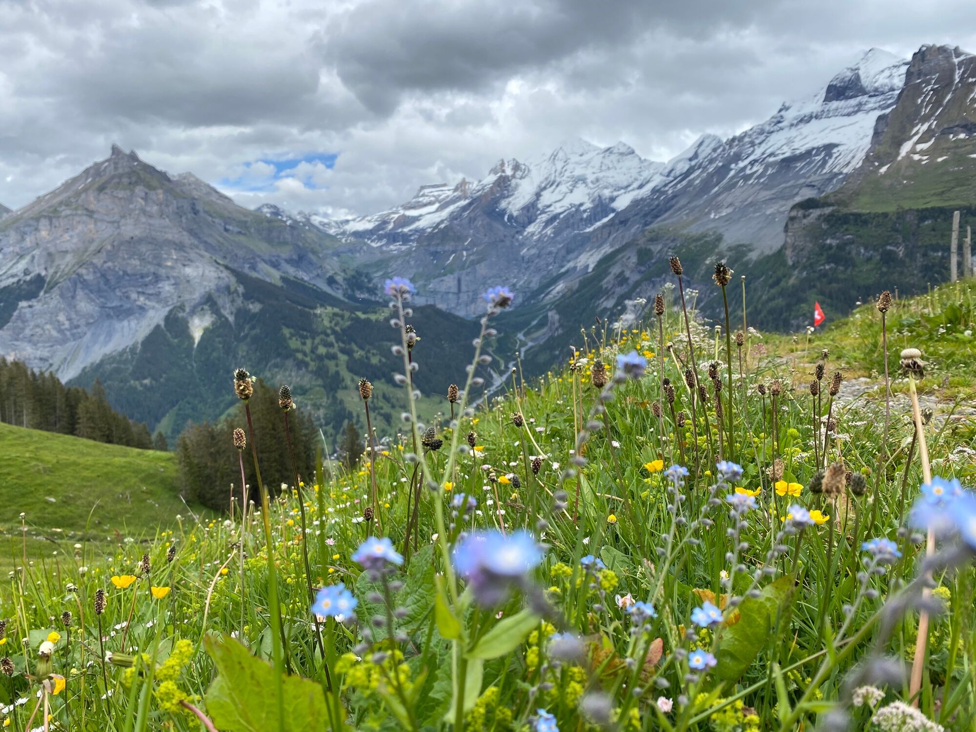
Schöne leichte Panoramawanderung mit herrlichem Blick zum Oeschinensee und Blüemlisalpmassiv.
- Difficulty
-
medium
- Rating
-
- Starting point
-
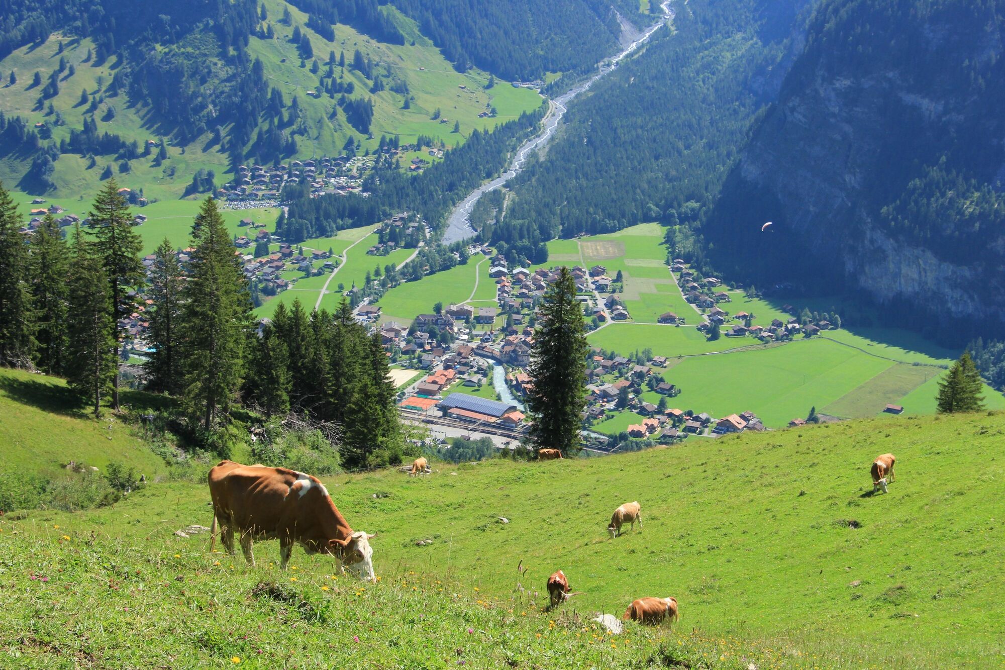
train station Kandersteg
- Route
-
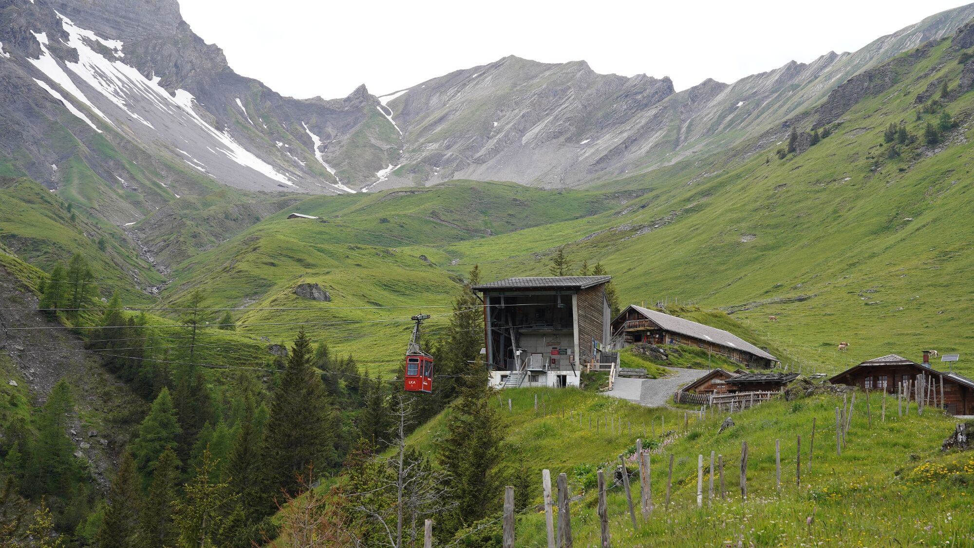
Kandersteg (1,176 m)Schwymbödi4.5 kmAllmenalp (1,725 m)7.4 km
- Best season
-
JanFebMarAprMayJunJulAugSepOctNovDec
- Description
-
First, follow the signs to Üschenetal. Head for the Allmenalp by following the relatively easy mountain trail with panoramic views from the end of the northbound Alpstrasse in Ueschinental. Take the Kandersteg-Allmenalp cable car for a relaxed return to Kandersteg.
Gastronomy:- Village Restaurants
- Restaurant Lohner Üschene
- Restaurant AllmenalpAllmenalpbahn timetable & prices
- Directions
-
Allmenalp - Ryharts - Usser Üschene - Eggeschwand - Kandersteg
- Highest point
- 1,786 m
- Endpoint
-
Allmenalp
- Height profile
-
 © outdooractive.com
 - Equipment
-
T1-2
No need for heavy boots here this easy hike is well marked in either yellow or red white. Ofcourse, it can be steep at times, but there are also numerous mountain restaurants along the way.
- Safety instructions
-
Open hiking trails may also still be partially covered with snow. Hiking is at your own risk: Tourism Adelboden-Lenk-Kandersteg accepts no liability whatsoever when using local routes.
- Tips
-
Oneimage, one clip, one comment excursions to the Bernese Oberland also leavefootprints on our social media channels. Active lovers of the great outdoors are sharing moreand more alpine impressions on Instagram and Facebook.
- Additional information
- Public transportation
-

-
AuthorThe tour Allmenalp is used by outdooractive.com provided.


General info
-
Oberwallis
1883
-
Ferienregion Kandertal
1108
-
Kandersteg - Sunnbüel
298


