- Difficulty
-
medium
- Rating
-
- Route
-
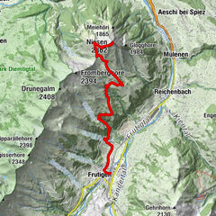
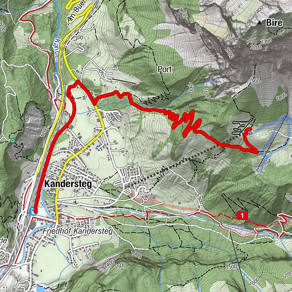
Kandersteg (1,176 m)Kandersteg (1,174 m)0.4 kmRestaurant Bergstübli4.8 km
- Best season
-
JanFebMarAprMayJunJulAugSepOctNovDec
- Description
-
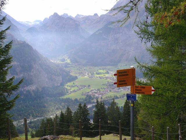
Leave the Dorfstrasse before the last houses in the direction of Frutigen - i.e. at Wätterbachweg. Turn right and start climbing up the slopes through semi-woodland; the route is pleasantly sheltered in dappled shade during the mornings. A well maintained path with some steep sections that continues below Wätterbach forestry hut into the Alpine meadows. Cross the Alpine meadows and continue to Oeschinensee cable car mountain station.
DurationFrom the train station Kandersteg - mountain station Oeschinen cable car: 2 hours
GastronomyOeschinensee Mountain station kiosk
- Directions
-
Bahnhof Kandersteg - Wätterbach - Bergstation Oeschinen
- Highest point
- 1,677 m
- Endpoint
-
Bergstation Oeschinen
- Height profile
-
 © outdooractive.com
 - Public transportation
-
South of the Lötschberg, north of the Kander Valley. For this point between Brig (38 min.) and Bern (61 min.), an hourly train service is in operation.
-

-
AuthorThe tour Kandersteg-Wätterbach-Oeschinen is used by outdooractive.com provided.
GPS Downloads


General info
Refreshment stop
A lot of view
Other tours in the regions
-
Oberwallis
1877
-
Ferienregion Kandertal
1109
-
Oeschinen - Kandersteg
255