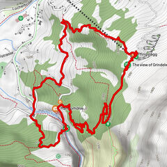
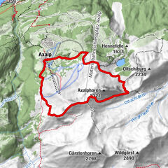
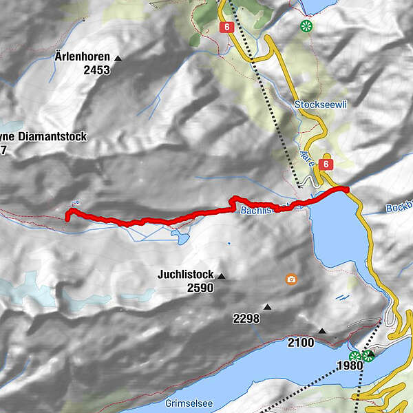
Anstieg Bachlitalhutte

Logo Anstieg Bachlitalhutte
Tour data
4.42km
1,768 - 2,310m
Distance
573hm
32hm
Ascent
01:49h
 
Duration
Brief description

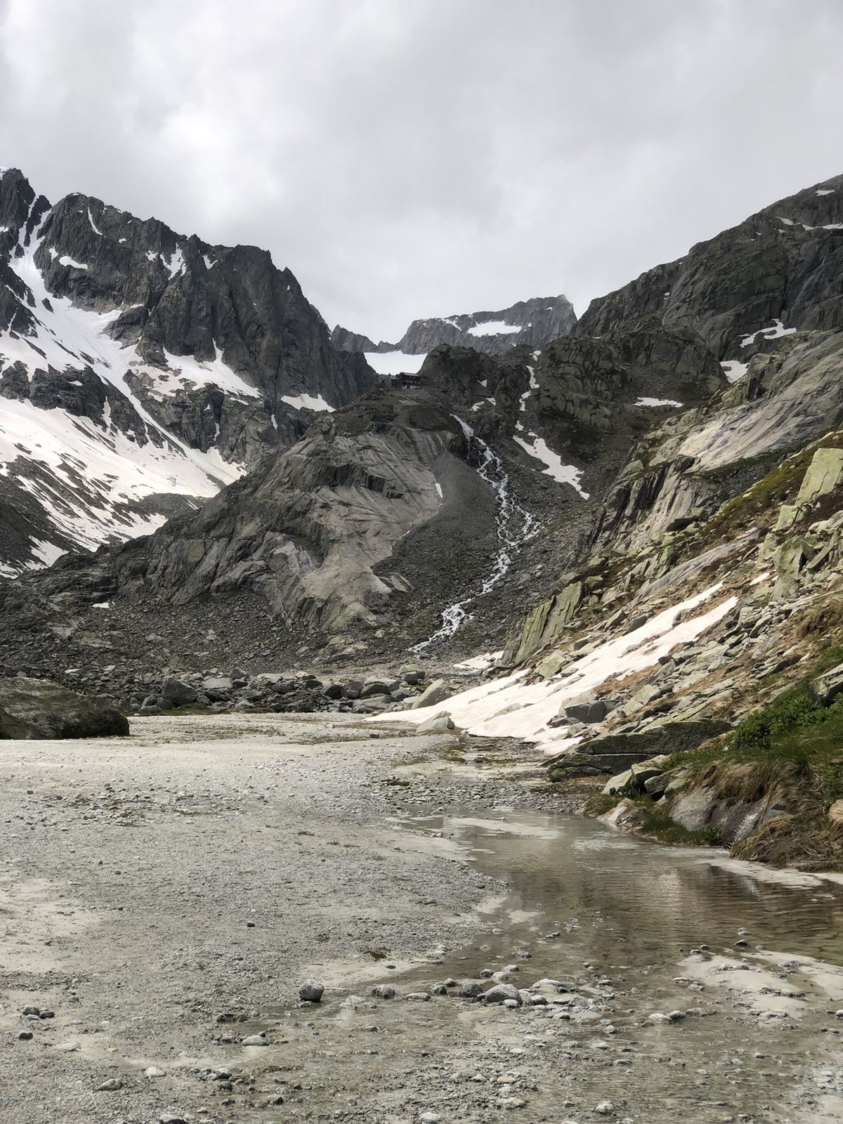
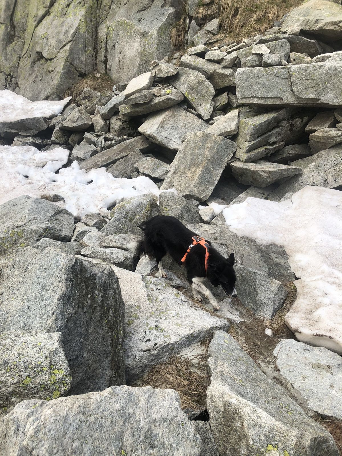
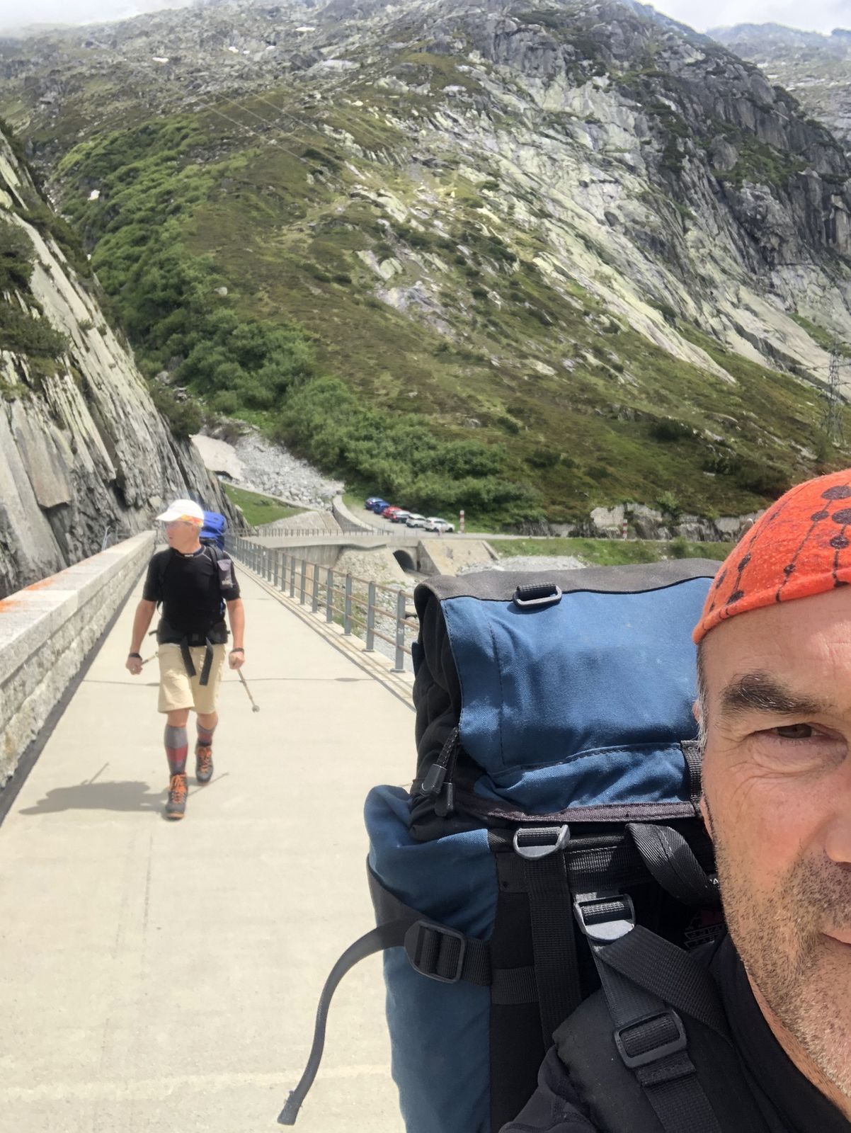
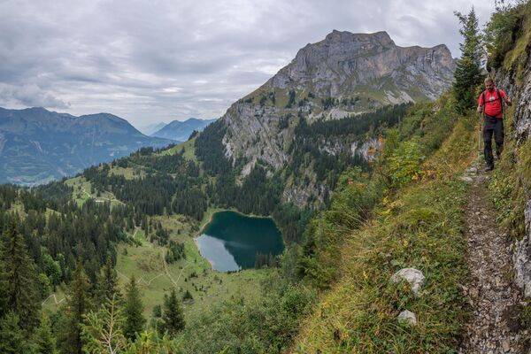
Steil an anfang, treppe hoch, hutte mit schone aussicht!

Difficulty
easy
Rating
Technique
Fitness
Landscape
Experience
Route
Bächlitalhütte SAC
4.4 km

Best season
Jan
Feb
Mar
Apr
May
Jun
Jul
Aug
Sep
Oct
Nov
Dec
Highest point
2,310 m

Overall rating

5

0

%

4

0

%

3

0

%

2

0

%

1

0

%

Error
An error has occurred. Please try again.
Thank you for your review

Rating has been deleted

GPS Downloads
  • GPX GPS Exchange Format (XML)
  • KML Google Earth, Google Maps
QR Download Codes for Mobile Phones
Other tours in the regions

Popular tours in the area

Gletscherschlucht - Pfingstegg - Rundweg

medium Hiking
5.84km | 464hm | 02:39h

Schnitzlerweg Axalp - extended

medium Hiking
11.19km | 545hm | 03:00h

Steile Felswände über der Axalp

medium Hiking
9.5km | 712hm | 04:10h

Round hike Grimselpass - Sidelhorn via Jostsee

medium Hiking
8.47km | 550hm | 02:07h