

- Brief description
-
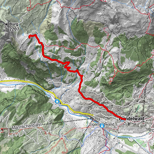
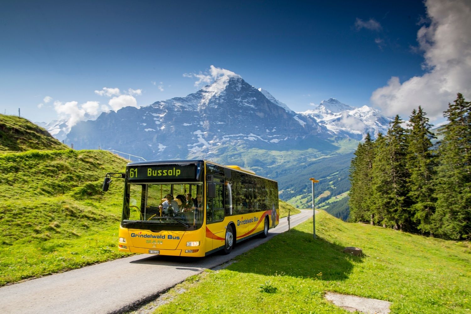
Explore the Bussalp hiking area.
- Difficulty
-
medium
- Rating
-
- Starting point
-
Grindelwald, train station
- Route
-
GrindelwaldGrindelwald0.1 kmSwiss Alp Resort0.2 kmTuftbach0.9 kmAbbachfall2.8 kmBussalp5.7 kmBergrestaurant Bussalp5.8 km
- Best season
-
JanFebMarAprMayJunJulAugSepOctNovDec
- Description
-
The hike begins at Grindelwald railway station where you walk along the Spillstattstrasse to the Geisstutz junction. From here the trail continues along Eschengasse, steadily uphill and you slowly leave the village behind you. After passing the steep Lempengasse, the path leads into the Mattenweg (at the Weidli). On the steadily ascending Lempengasse it is worthwhile to stay and enjoy the wonderful panorama. At the bus stop Weidli you continue along the Mattenweg and after a few minutes you reach the impressive Abbachfall which, depending on the season, carries a lot of water. The hike continues over the "Matten" until the asphalt path ends in the forest. On the nature trail towards Unterläger you can enjoy an ever-changing panorama until you reach the idyllically situated alpine huts in Holzmattenläger. Along the stream, the destination Bussalp is not far away and you can soon relax in the restaurant from the demanding hike.
- Directions
-
Grindelwald - Tuftbach - Weidli - Abbachfall - Bussalp
- Highest point
- 1,794 m
- Endpoint
-
Bussalp
- Height profile
-
 © outdooractive.com
 - Equipment
-
Day hiking backpack (approx. 20 litres) with rain cover
Solid and comfortable shoes
Weather-adapted and hard-wearing clothing based on the multi-layer principle
Sun and rain protection
Food and water
First aid kit
pocket knife
Mobile phone
if necessary telescopic poles, headlamp, maps - Safety instructions
- Tips
-
Abbach Waterfall
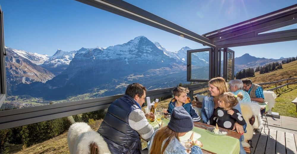
Mountainrestaurant Bussalp
Short hike on the top to the viewing point Bussalp - Additional information
- Directions
-
From Basel and Geneva, the fastest route to the Jungfrau Region is via Bern. From Zurich, the route via Lucerne and the Brünig Pass is recommended. The pass is open all year round.
From the south, travel to the Jungfrau Region via the Grimsel or Susten Pass. Both passes are only open in summer. An alternative is the Simplon Pass with subsequent car transport through the Lötschberg tunnel.
Grindelwald
From Interlaken we follow the main road to Zweilütschinen. Here we turn left towards Grindelwald. The whole trip takes about 30 minutes and leads over a partly winding road.
- Public transportation
-
Thanks to its central location in Europe, Switzerland is served by international trains from over 12 countries. Within Switzerland, Intercity trains run from Basel and Lucerne directly to the Jungfrau Region. Travellers from Zurich change trains in Bern. The trains run every half hour.
Grindelwald
From Interlaken Ost railway station we reach Grindelwald without changing trains on the Bernese Oberland Bahn (BOB). Important: Get on the rear part of the train, as it splits in Zweilütschinen. If you get on at the front, you will end up in Lauterbrunnen. The journey takes 30 minutes to Grindelwald Terminal (V-Bahn). Three minutes later we are at the terminal in the village.
There are three stations in Grindelwald (Terminal, Grund and Dorf). The terminal station (Dorf) is in the centre of Grindelwald.
- Parking
-
Grindelwald
Il existe trois parkings publics : Parkhaus Eiger+ (252 places), Parkhaus Sportzentrum (160 places) et le nouveau Terminal Parking (1000 places) de la V-Bahn. Nous pouvons également utiliser le parking de Grindelwald Grund.

- Author
-
The tour Grindelwald - Abbachfall - Bussalp No. 22 is used by outdooractive.com provided.
General info
-
Aletsch Arena
1485
-
Jungfrau Region
1021
-
Grindelwald - Männlichen
470


