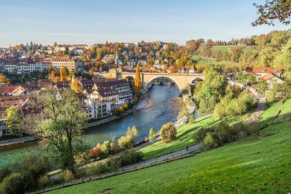


- Brief description
-
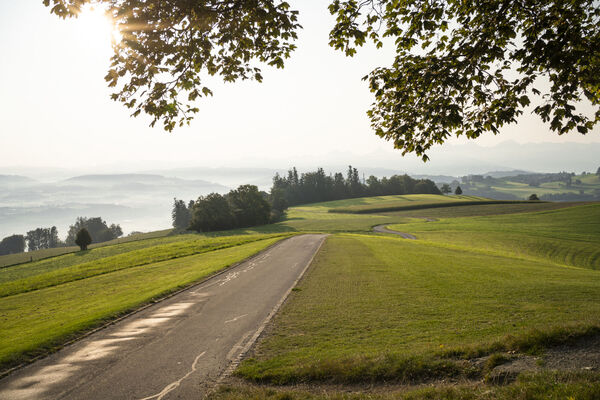
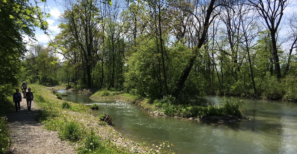
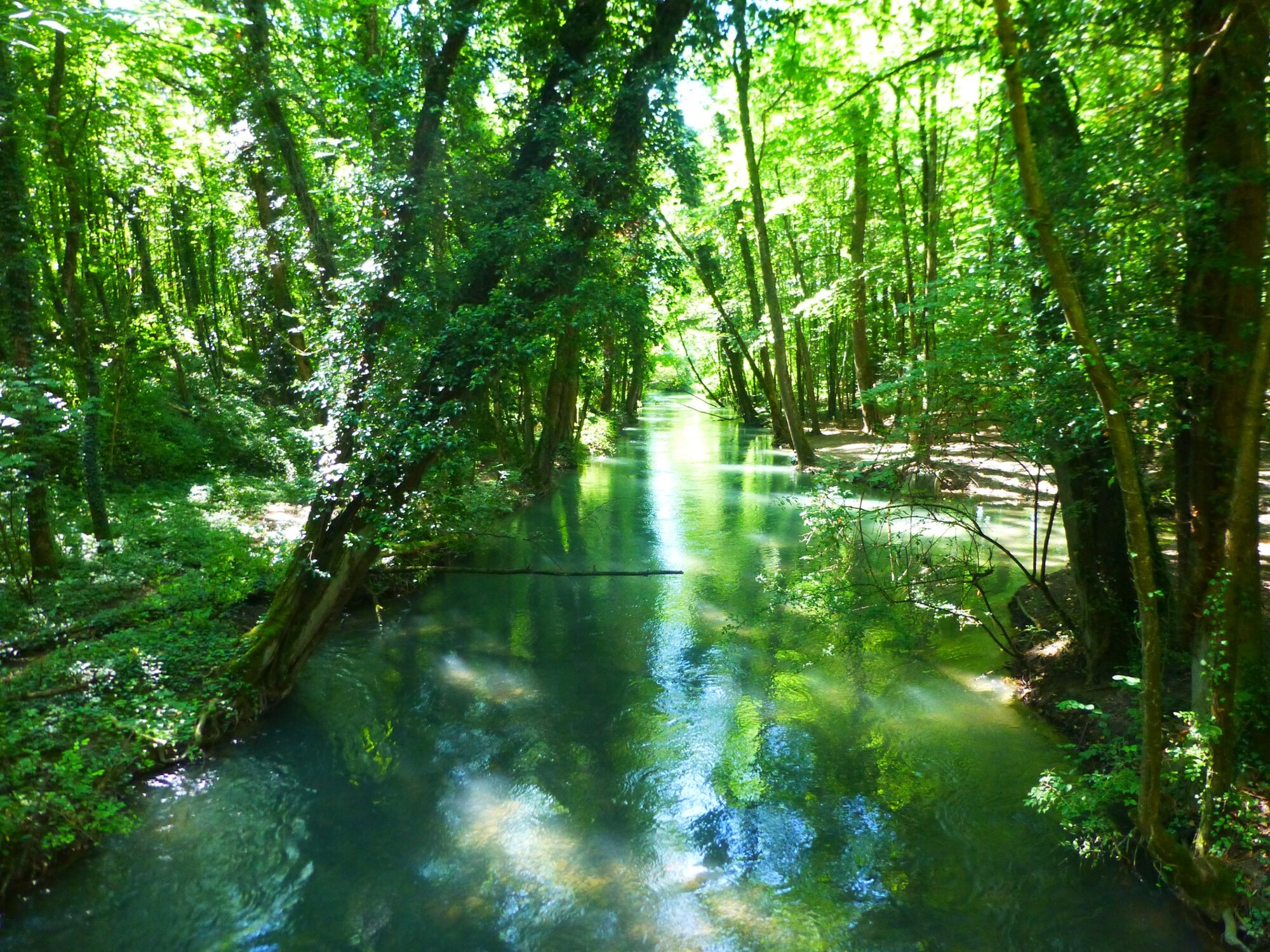
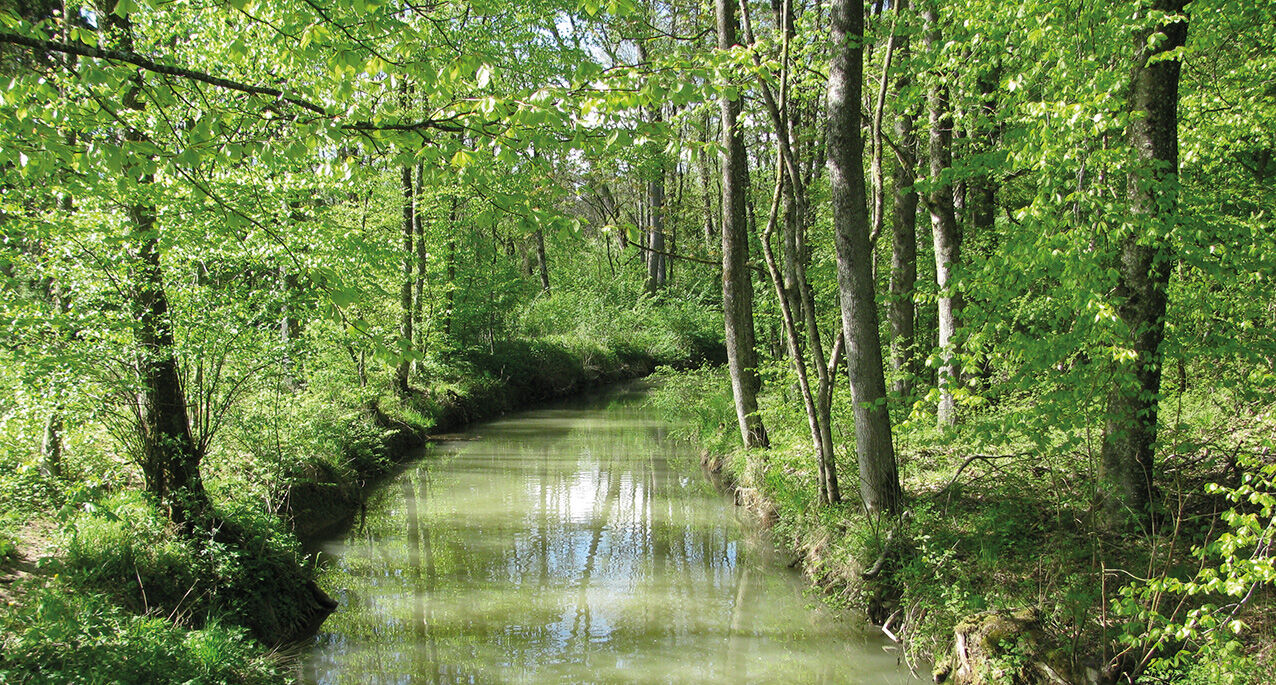
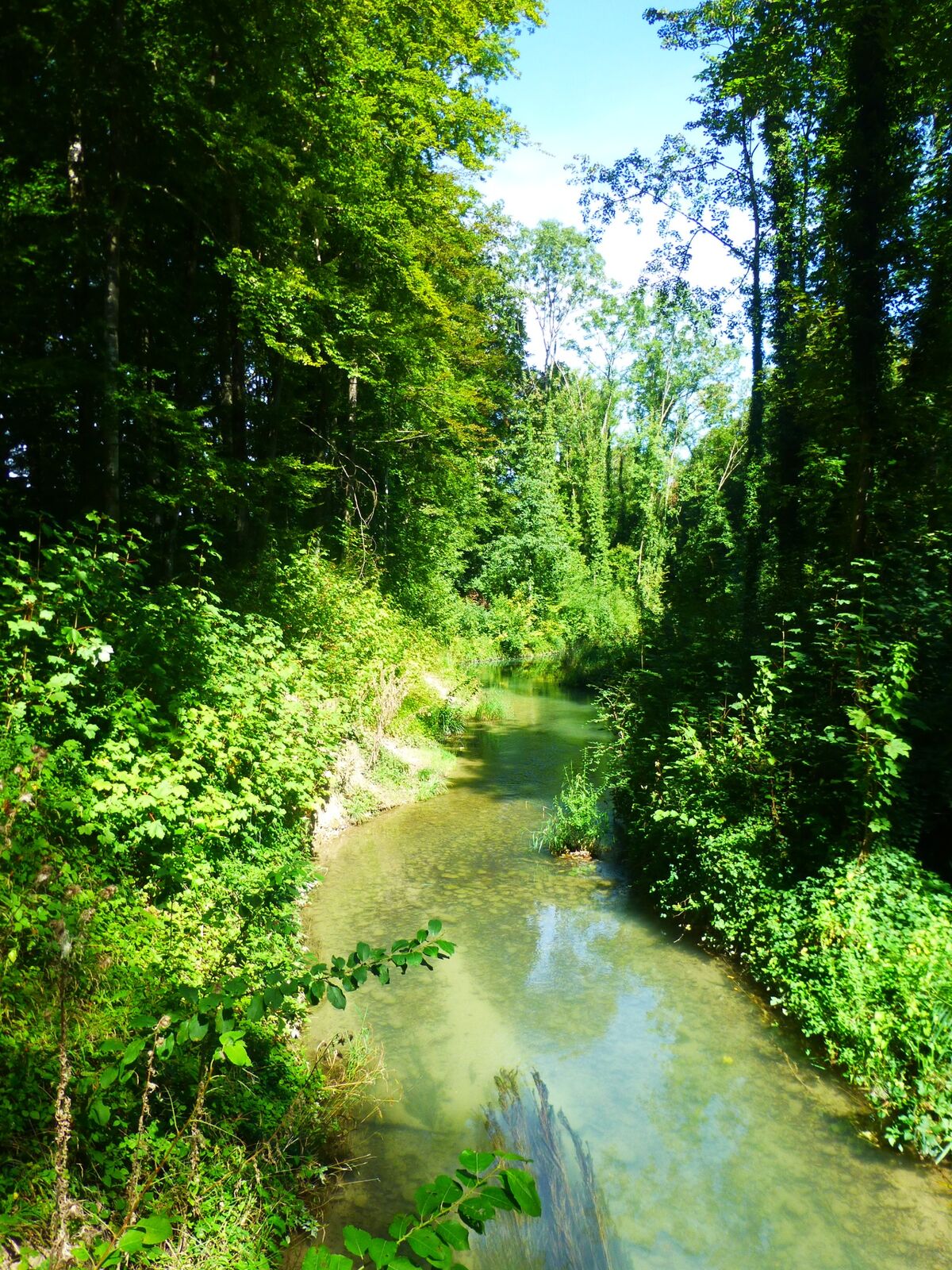
A quiet watercourse surrounded by idyllic riverside forests now passes through the area where the mighty and unpredictable river Aare once flowed. A varied walking path leads through this unique nature reserve. The rural town of Aarberg with its historic buildings is a special attraction right at the start of this route. Some hard-surfaced areas exist at the start and end of the walk, but otherwise the route goes along natural paths.
- Difficulty
-
easy
- Rating
-
- Route
-
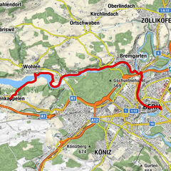
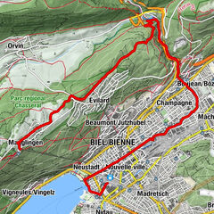
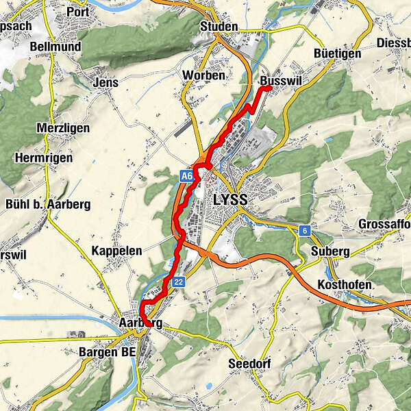
Aarberg (449 m)Aarberg (455 m)0.1 kmLyss (444 m)4.9 kmBusswil (437 m)8.3 kmBusswil BE (437 m)8.9 km
- Best season
-
JanFebMarAprMayJunJulAugSepOctNovDec
- Description
-
Aarberg naturally owes its name to the river Aare. The river flowed around the town which had been built on a rocky promontory and helped it to become prosperous, thanks to considerable customs revenues. But ever since the Jura water correction in the 19th century, the river Aare has been giving a wide berth to this small town. Today, the 70-metre covered wooden bridge dating from the 16th century only spans the old Aare arm. What remains, however, is one of the most picturesque small towns in Switzerland. The Gasthof Krone, the town hall dating from 1817, the "Amthaus" (magistrate's building, ca. 1600) and the church with its ashlar tower built in 1526 are particularly worth seeing. From Aarberg railway station, walk past the town centre and into the area of the old Aare (the beginning of the nature reserve). There are signposted hiking trails on both sides of this calm flowing river between Aarberg and Lyss. The suggested route goes along the eastern bank of the Alte (old) Aare. You will walk alongside a beautiful pool – the former sedimentation basin for the sugar beet washing water of the Aarberg sugar factory in Grien – to reach the riverside forest. The wilderness in the remaining untouched areas of the Alte Aare is exceptional: thick shrubbery, small areas of pine forest, interesting flora, water insects, beaver castles and an abundance of different bird species will delight walkers. As you near the Kappelen bridge, the sense of tranquillity will come to an end: road traffic and go-kart track noise will intrude noticeably on this natural experience. A beautifully laid out footpath now leads to the outskirts of Lyss. Once again, the riverside landscape becomes enchanting. At the turn-off for Busswil, you will cross farmland for a while, after which you continue directly along the riverside forest again to Studen. At the Seeteufel Zoo – which is home to over 45 animal species from all five continents – you turn left towards the village, and after crossing the old Aare you will soon reach the Grien bus stop.
- Highest point
- 448 m
- Endpoint
-
Busswil
- Height profile
-
 © outdooractive.com
 - Equipment
-
We recommend the following items: light trekking shoes, light backpack, sun protection, rain jacket, first-aid kit, light picnic, enough fluids.
- Safety instructions
-
This route runs along hiking trails throughout.


-

-
AuthorThe tour Through the riverside landscape alongside the old river Aare is used by outdooractive.com provided.


General info
-
Biel Seeland
781
-
Bielersee / Twann - Ligerz - Tüscherz
336
-
Lyss
108