


- Brief description
-
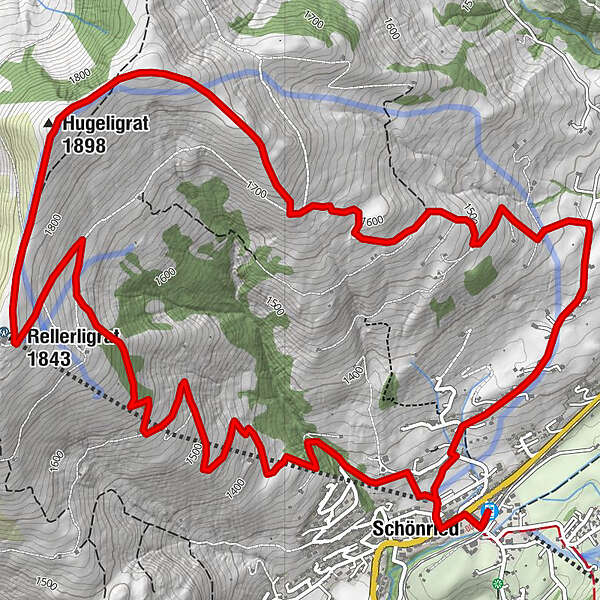
The classic up to the Rellerli before returning to Schönried
- Difficulty
-
medium
- Rating
-
- Starting point
-
Schönried
- Route
-
Schönried (1,231 m)Pizzeria da Corrado0.1 kmLa Nicchia0.2 kmSchönried (1,200 m)0.3 kmRellerligrat (1,843 m)4.5 kmHugeligrat (1,898 m)5.4 kmSchönried (1,200 m)10.4 kmLa Nicchia10.5 kmPizzeria da Corrado10.6 kmSchönried (1,231 m)10.8 km
- Best season
-
JanFebMarAprMayJunJulAugSepOctNovDec
- Description
-
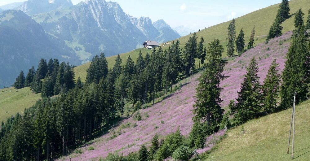
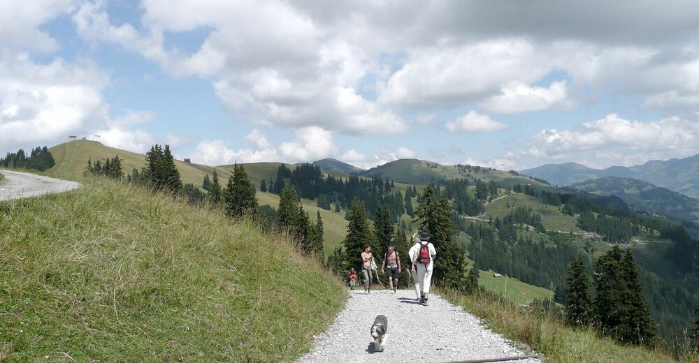
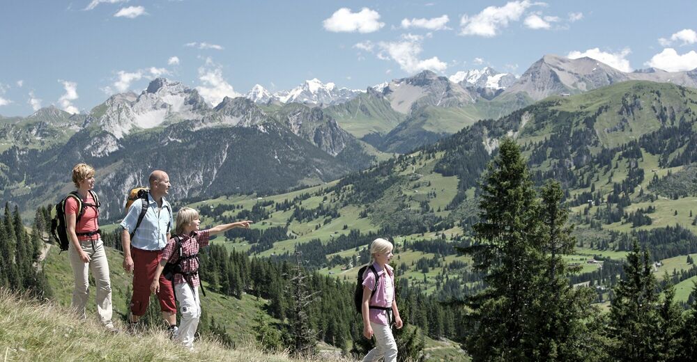
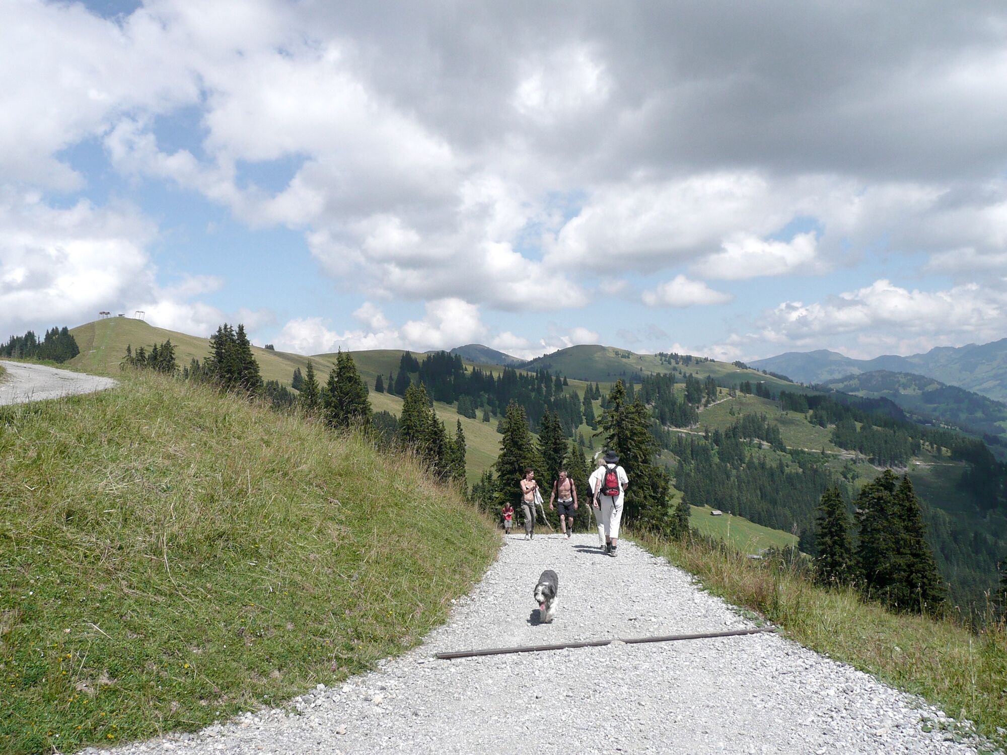
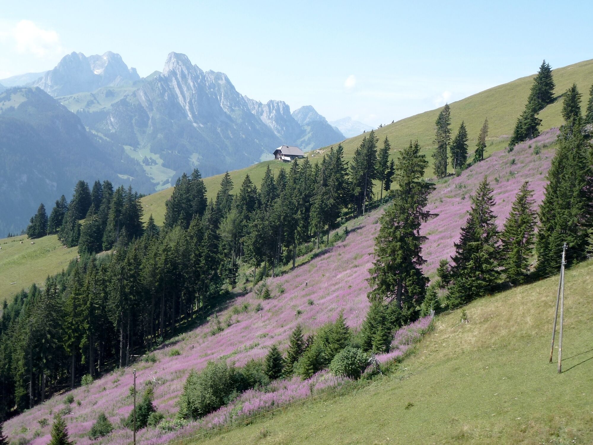
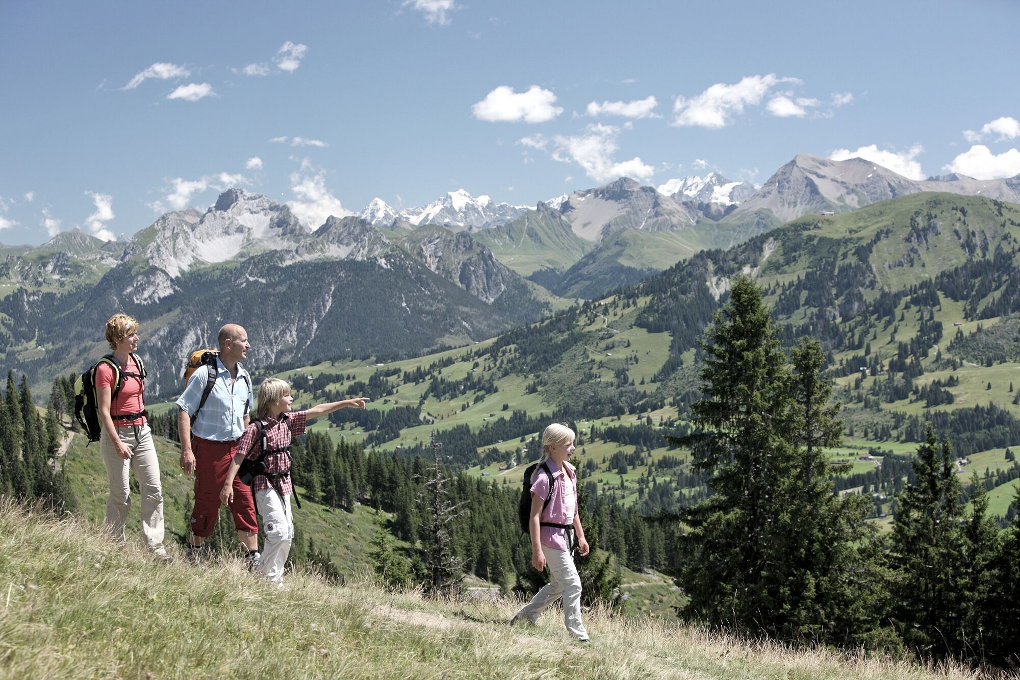
This hike leads up the Rellerli near Schönried. Its southerly aspect means that you can use this route for many months of the year. The hike takes you from Schönried in a relatively direct line up to the mountain station of the former mountain railway. The trail is a relatively steep Alpine connecting route. From the Rellerli you hike via Hugeli as far as the Alp Grosse Vorschess. The views on the Hugeli include an amazing 360-degree panorama of the Bernese and Fribourg Alps. From the Alp Grosse Vorschess you pass Bergmatte before returning to Schönried. After taking you along a gravel road, the route then follows an asphalted side road.
- Directions
-
Schönried – Rellerli – Grossi Vorschess – Bergmatte - Schönried
- Highest point
- 1,894 m
- Endpoint
-
Schönried
- Height profile
-
 © outdooractive.com
 - Equipment
-
Good footwear, snacks to savor during a break - why not a Fondue-Backpack?
- Tips
-
Barbecue area on Rellerli and at the alp Grosse Vorschess.
- Additional information
- Directions
-
The Destination Gstaad is located in the south-west of Switzerland right on the border to the French-speaking part of the country. The Destination is easily accessed by rail or car from the regions around Lake Thun and Lake Geneva and the Gruyere region Direct connections to the European high-speed rail network and all international airports in Switzerland guarantee a time-saving and pleasant journey.
- Public transportation
-
Schönried Station
- Parking
-
Rellerli parking

-

-
AuthorThe tour Schönried – Rellerli – Grossi Vorschess – Bergmatte – Schönried is used by outdooractive.com provided.


General info
-
Alpes Vaudoises
997
-
Destination Gstaad
729
-
Schönried
192


