- Brief description
-
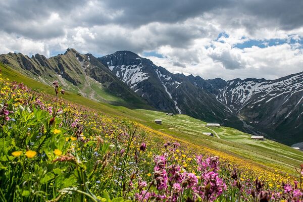
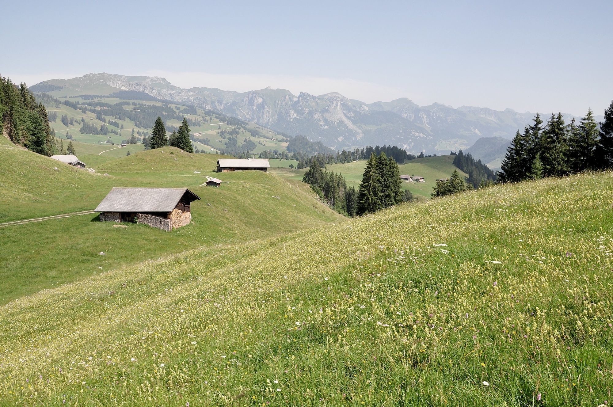
Enjoy the magnificent mountain scenery of Saanenland and the Fribourg Alps as you hike from Schönried up to the Rellerli via Bire to Sparenmoos.
- Difficulty
-
difficult
- Rating
-
- Starting point
-
Schönried
- Route
-
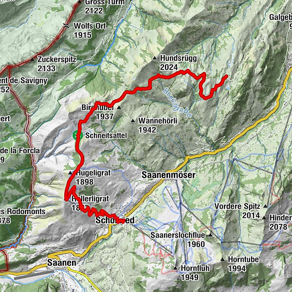
Schönried (1,231 m)Pizzeria da Corrado0.1 kmLa Nicchia0.2 kmSchönried (1,200 m)0.3 kmRellerligrat (1,843 m)4.5 kmBire (1,789 m)9.2 kmSchiltenegg (1,790 m)12.2 km
- Best season
-
JanFebMarAprMayJunJulAugSepOctNovDec
- Description
-
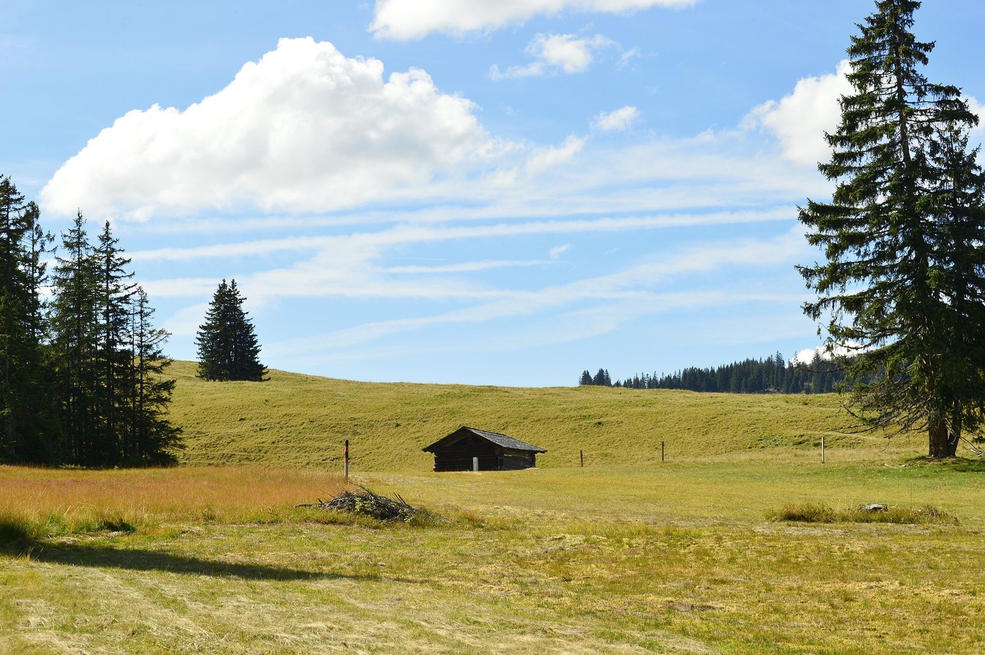
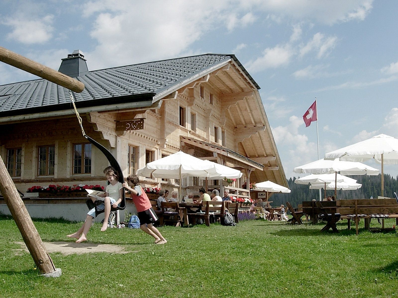
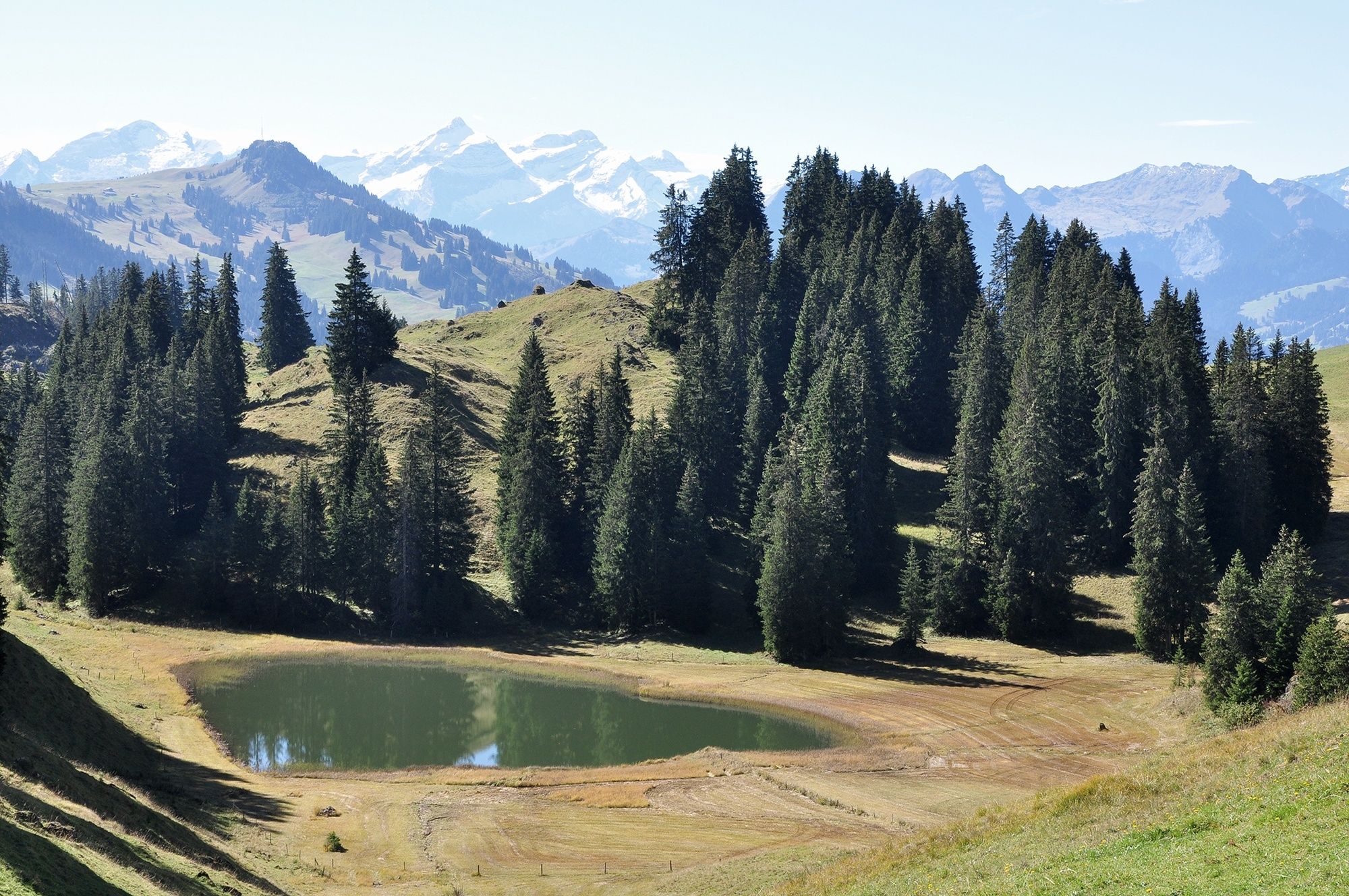
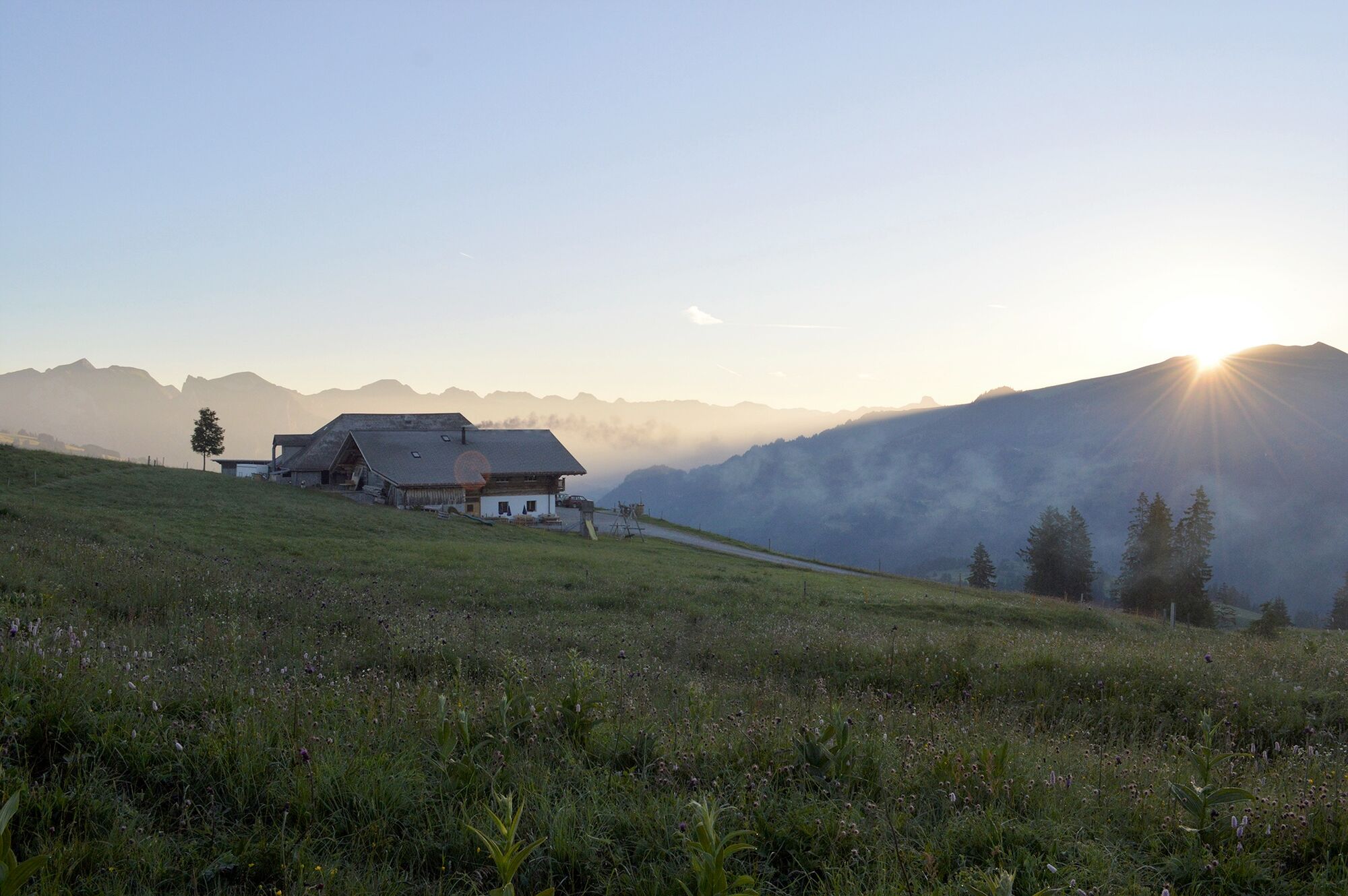
From Schönried you walk up to the Rellerli (1,833 metres above sea level). After just over an hour's uphill hiking, you reach the Rellerligrat. Here you can admire the 360-degree view of the entire Saanenland mountain panorama. After another short climb you take a 1.5 km panoramic path towards Bire. From there to the Nüjeberg it is quite a level walk except for a short ascent and descent. You have the option of stopping for refreshments on the Nüjeberg or the Hüsliberg or you can continue on to Sparenmoos. Also at Sparenmoos you can take in the views from the MUMA buvette or the Site Alp.
From Sparenmoos you can either hike down the last 4 km to Zweisimmen, take the hiking taxi, or rent a scooter at Site Alp and enjoy an exciting ride back to the Zweisimmen train station.
- Directions
-
Schönried – Rellerli – Bire– Sparenmoos - Zweisimmen
- Highest point
- 1,859 m
- Endpoint
-
Sparenmoos/Zweisimmen
- Height profile
-
 © outdooractive.com
 - Equipment
-
Good footwear, snacks to savor during a break - why not a Fondue-Backpack?
- Tips
-
Stop off for refreshments at the mountain restaurants: Nüjenberg, Hüsliberg, MUMA and Site Alp. Enjoy an exciting scooter downhill run from Sparenmoos to Zweisimmen.
- Additional information
- Directions
-
The Destination Gstaad is located in the south-west of Switzerland right on the border to the French-speaking part of the country. The Destination is easily accessed by rail or car from the regions around Lake Thun and Lake Geneva and the Gruyere region Direct connections to the European high-speed rail network and all international airports in Switzerland guarantee a time-saving and pleasant journey.
- Public transportation
-
Bahnhof Schönried, Bahnhof Zweisimmen
- Parking
-
parkings at Rellerli and in Zweisimmen

-

-
AuthorThe tour Schönried – Rellerli – Bire – Sparenmoos is used by outdooractive.com provided.
GPS Downloads


General info
Refreshment stop
Flora
Fauna
A lot of view
Other tours in the regions
-
Alpes Vaudoises
1009
-
Destination Gstaad
741
-
Schönried
193