- Brief description
-
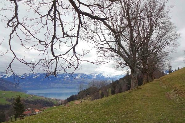
This route takes hikers through a hilly landscape of forests and alpine meadows up to the steep limestone cliffs of the Sigriswiler Rothorn mountain chain. Here the view stretches far and wide to the Jura and to the many fourthousand metre peaks of the Bernese Oberland.
- Difficulty
-
medium
- Rating
-
- Starting point
-
Schwanden Säge
- Route
-
SchwandenSchafloch4.0 kmSchwanden11.6 km
- Best season
-
JanFebMarAprMayJunJulAugSepOctNovDec
- Directions
-
From the old sawmill following the signs towards Stampf – «Oberi Matte» – Zettenalp – «Stäpfli» Rothornfuss – Sigriswiler Rothorn – Rothornfuss – Oberbergli – «Bodmi Stampf Schwanden» – «Berglichäle» – «Bodmi» – Stampf – Säge.
- Highest point
- 2,037 m
- Endpoint
-
Schwanden Säge
- Height profile
-
 © outdooractive.com
 - Safety instructions
-
Please note: snowfields possible into the summer months on high-level sections.
- Tips
-
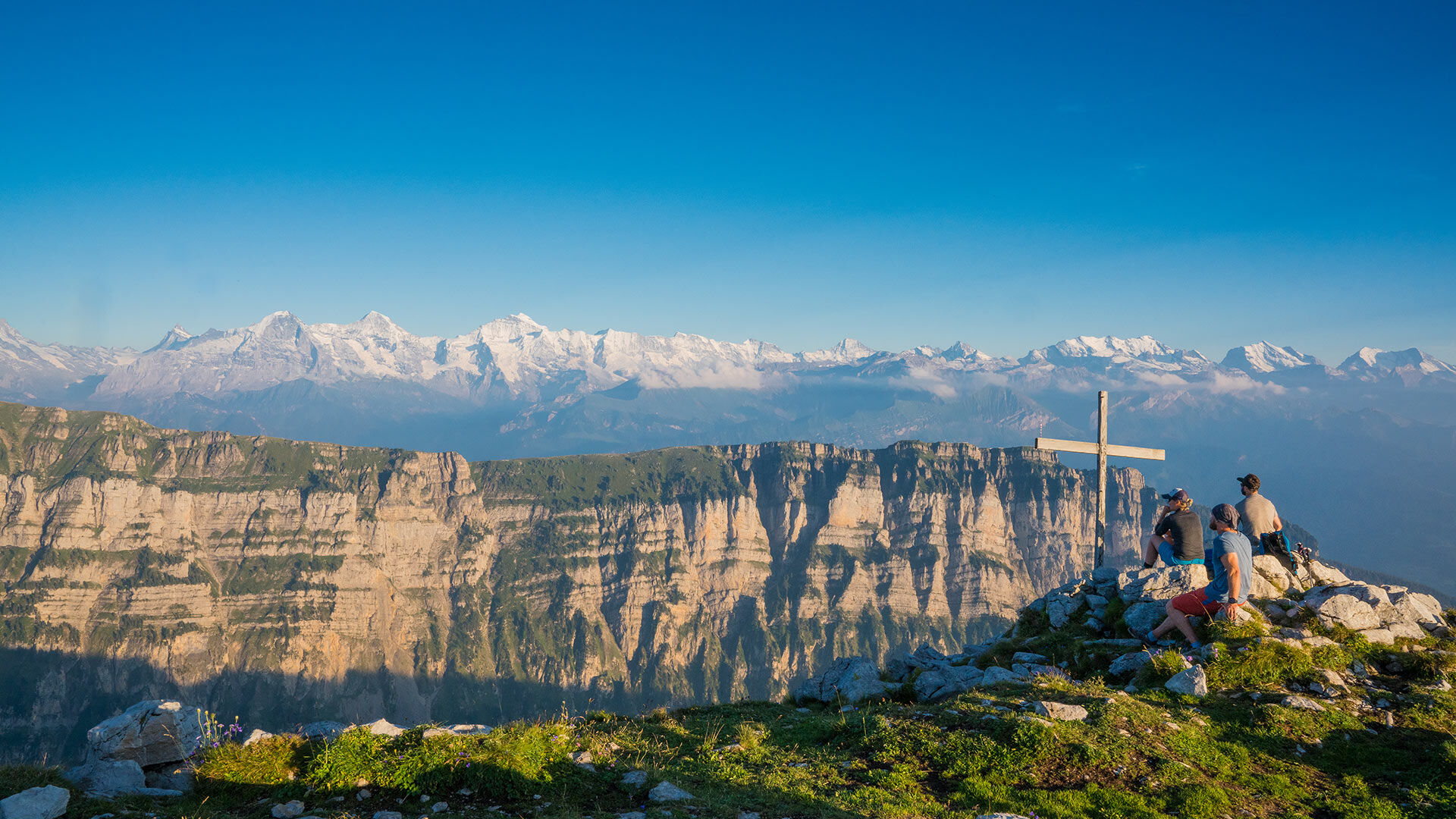
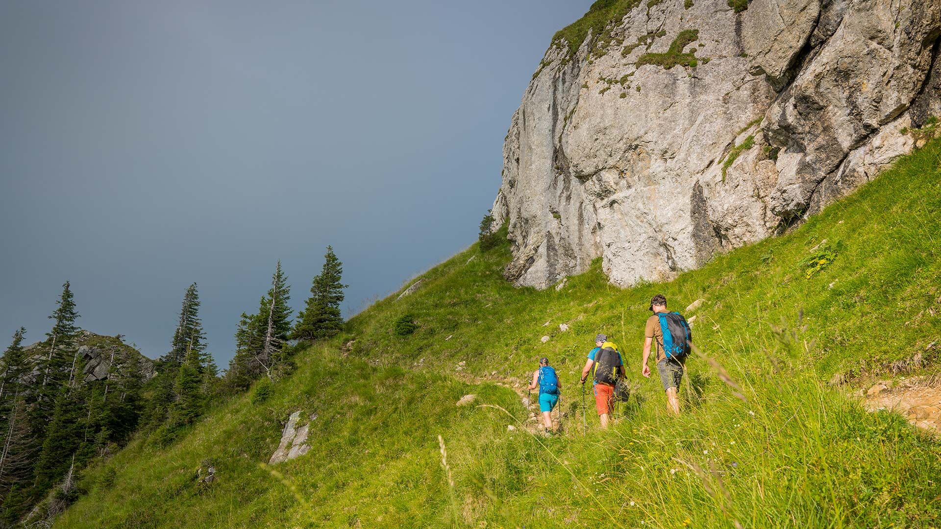
The starting point is the former Weiler Säge sawmill just outside the village of Schwanden. From here, follow the signs towards Stampf. Pass by the Stampf reservoir across an alpine meadow to the Stampf alpine hut and then over green meadows and through shady forests to the «Oberi Matte» alp. The next section of the route takes you through an impressive forest of spruce to the Zettenalp saddle. Here you leave the landscape of forests and meadows and start to climb a steep mountain trail to the Sigriswilergrat ridge, reaching a height of 1921 m at the «Stapfli» saddle. The trail now heads south around the majestic Rothorn to the signpost at its foot. From here it is a roughly 20 minute hike to the peak of the Rothorn at 2051 m, from where you have impressive views of Säntis, the Bernese alps and as far as the Jura. The descent takes you first of all to the idyllically situated Oberbergli alp. Directly below this alp, follow the signpost marked «Bodmi Stampf Schwanden», which takes you over a small pass. Then continue down towards the signpost marked «Berglichäle». From here the trail descends steeply to the Bodmi and «Stampf» alps and to the starting point Säge in Schwanden.
- Additional information


- Author
-
The tour Sigriswiler Rothorn is used by outdooractive.com provided.