
© Interlaken Tourismus - Christian Mathyer

© Interlaken Tourismus - Christian Mathyer
© Interlaken Tourismus - Christian Mathyer
© Interlaken Tourismus - Christian Mathyer


- Difficulty
-
medium
- Rating
-
- Starting point
-
Spiez, boat station
- Route
-
Schlosskirche0.0 kmSpiez0.3 kmFaulensee (See) (603 m)2.7 kmBellerive2.8 kmornella2.9 kmFaulensee2.9 kmChristliches Lebenszentrum9.6 kmLattigen11.0 kmSpiez13.2 kmSchlosskirche14.6 km
- Description
-
What originally began as a lakeside path initiated by August Mützenberg in 1914 now continues as an around 14km circular trail through scenic surroundings.
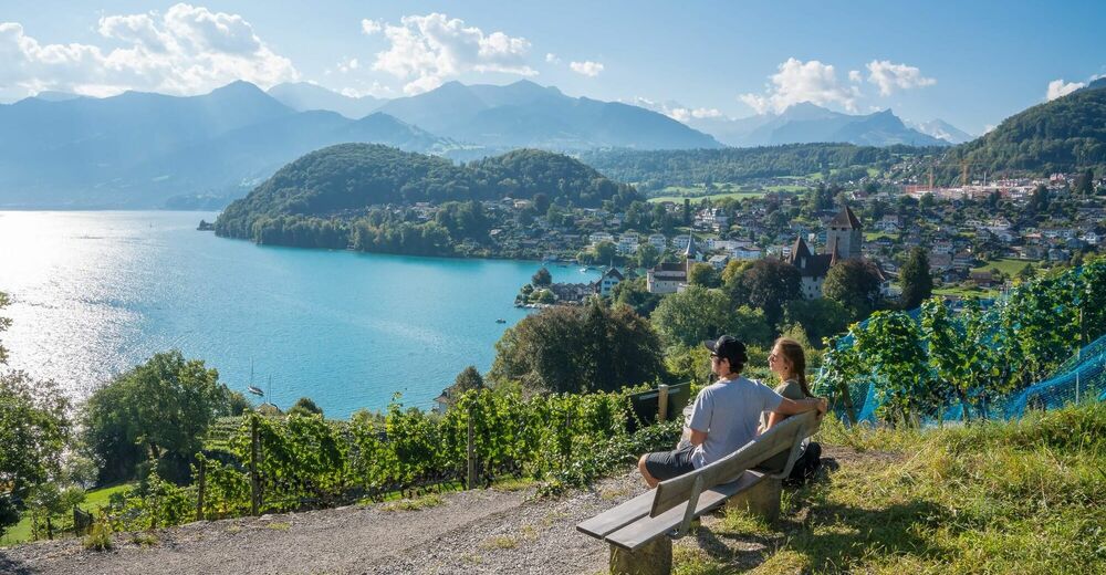
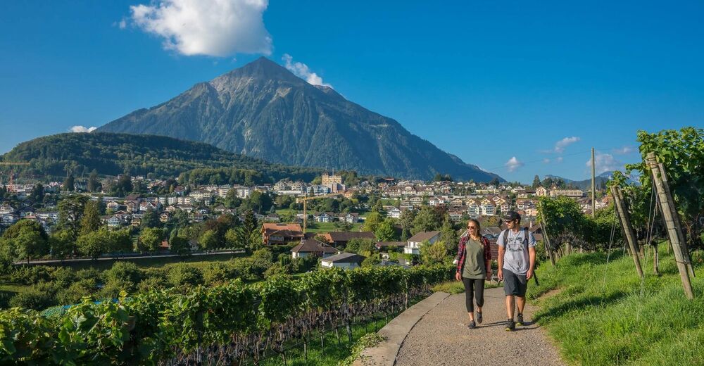
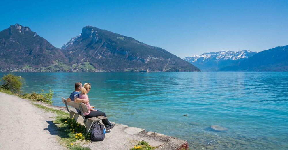
Discover the most beautiful side of Spiez, away from the hustle and bustle of the streets and with views of the Bernese Alps, valleys and Lake Thun. The entire route is also suitable for families with children (no steps). On the trail you'll encounter several objects that are under historic preservation and nature conservation orders. These are of great importance to the appearance of the surrounding villages. A map of the circular trail with descriptions of the listed buildings is available at the Spiez Info Centre (open all year) and Faulensee Tourist Office (open in summer).
The circular trail is divided into four stages. Strandweg, Höhenweg, Spiezwilerweg and Rebenweg.
Note(s)
- White signs with green pictograms ensure that everyone will find the trail easy to follow.
- The route can also be covered in the opposite direction.
- A dense network of bus stops and plenty of parking spaces allow visitors to start a hike or a stroll at virtually any point along the route.
Looking for more hiking ideas in the Bernese Oberland?
Learn more about the hiking options around lakes Thun and Brienz. - Directions
-
Spiez - Faulensee - Seeholzwald - Eggi - Hondrich - Fulebach - Spiezwiler - Riedli - Spiezmoos - Spiezberg - Spiez
- Highest point
- 786 m
- Height profile
-
 © outdooractive.com
 - Additional information


- Author
-
The tour Spiez Rundwanderweg (circular trail) is used by outdooractive.com provided.
GPS Downloads


General info
A lot of view
Other tours in the regions
-
Aletsch Arena
1471
-
Thunersee
1055
-
Spiez
265


