
- Rating
-
- Starting point
-
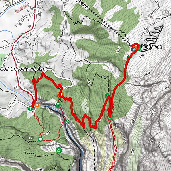
Grindelwald, Bergstation Pfingstegg
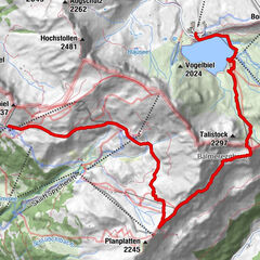
- Route
-
Pfingstegg0.1 km
- Best season
-
JanFebMarAprMayJunJulAugSepOctNovDec
- Description
-
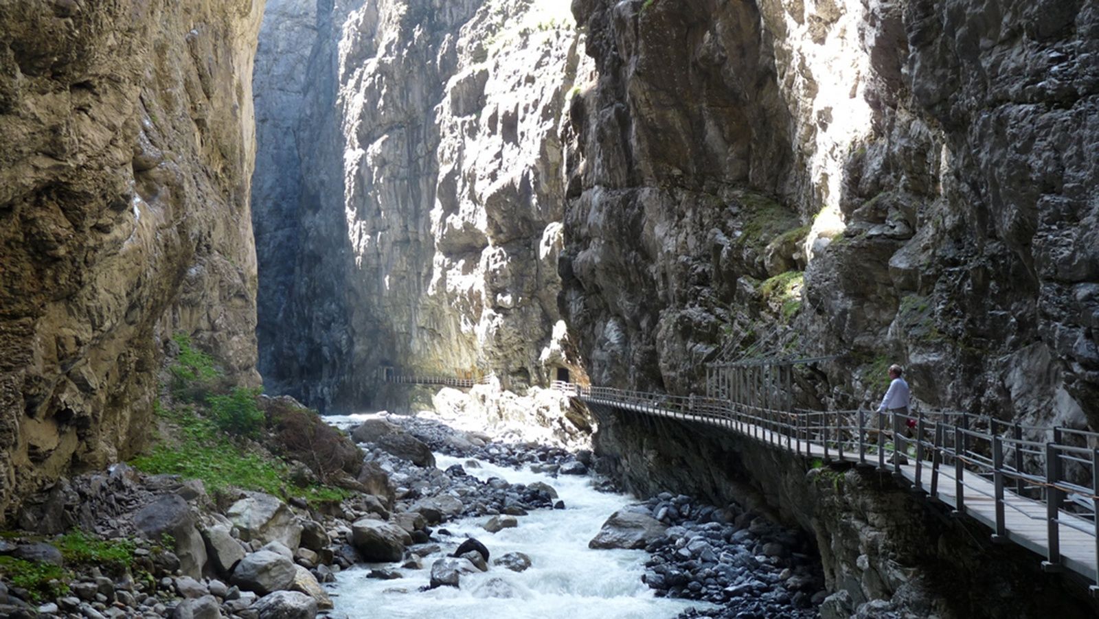
Walk down into the valley - The Pfingstegg offers many different paths leading directly down to the valley. One route takes you past Marmorbruch, once Grindelwald's marble quarry, and further on to the Glacier Gorge. A visit to the Glacier Gorge is certainly worthwhile.
- Directions
-
Pfingstegg - Wysseflüö - Marmorbruch - Gletscherschlucht
- Highest point
- 1,384 m
- Height profile
-
 © outdooractive.com
 - Equipment
-
Normal hiking equipment, hiking boots with good treads.
- Additional information
-
Hike 27
(in the printed summer panoramic map of the Jungfrau Railways) - Directions
-
Via Bern or Lucerne to Interlaken. Or from the south, via the Grimsel Pass (summer only) or the Simplon Pass and the Lötschberg car-transport train to Interlaken. Then follow the signs to Grindelwald.
- Public transportation
-
Via Bern or Lucerne to Interlaken Ost. Change to the Bernese Oberland Railway to Grindelwald. From there, take a local bus towards Gletscherschlucht to the Pfingsteggbahn stop.
- Parking
-
In Grindelwald there are two public car parks with covered spaces to choose from: Eiger+ multi-storey car park (252 spaces) and Sportzentrum multi-storey car park (160 spaces). Uncovered parking spaces are available throughout the village.
- Author
-
The tour Pfingstegg - Marmorbruch - Gletscherschlucht is used by outdooractive.com provided.


General info
-
Aletsch Arena
1471
-
Jungfrau Region
1007
-
Grindelwald - First
396