© Berner Wanderwege - Berne Rando

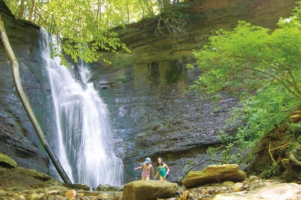
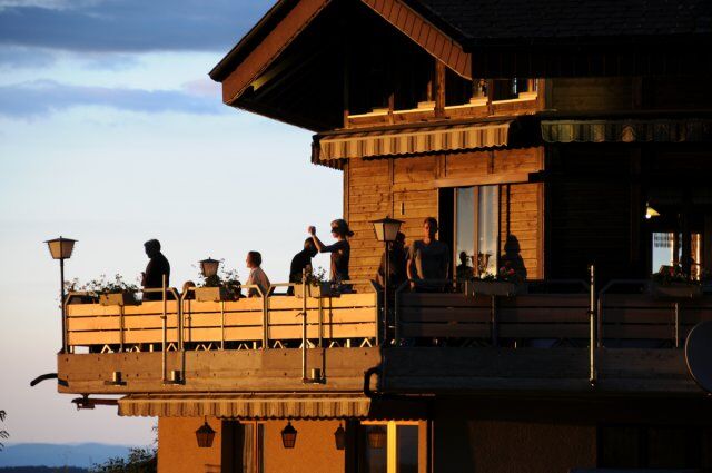
© Restaurant Fritzenfluh - Verein Berner Wanderwege

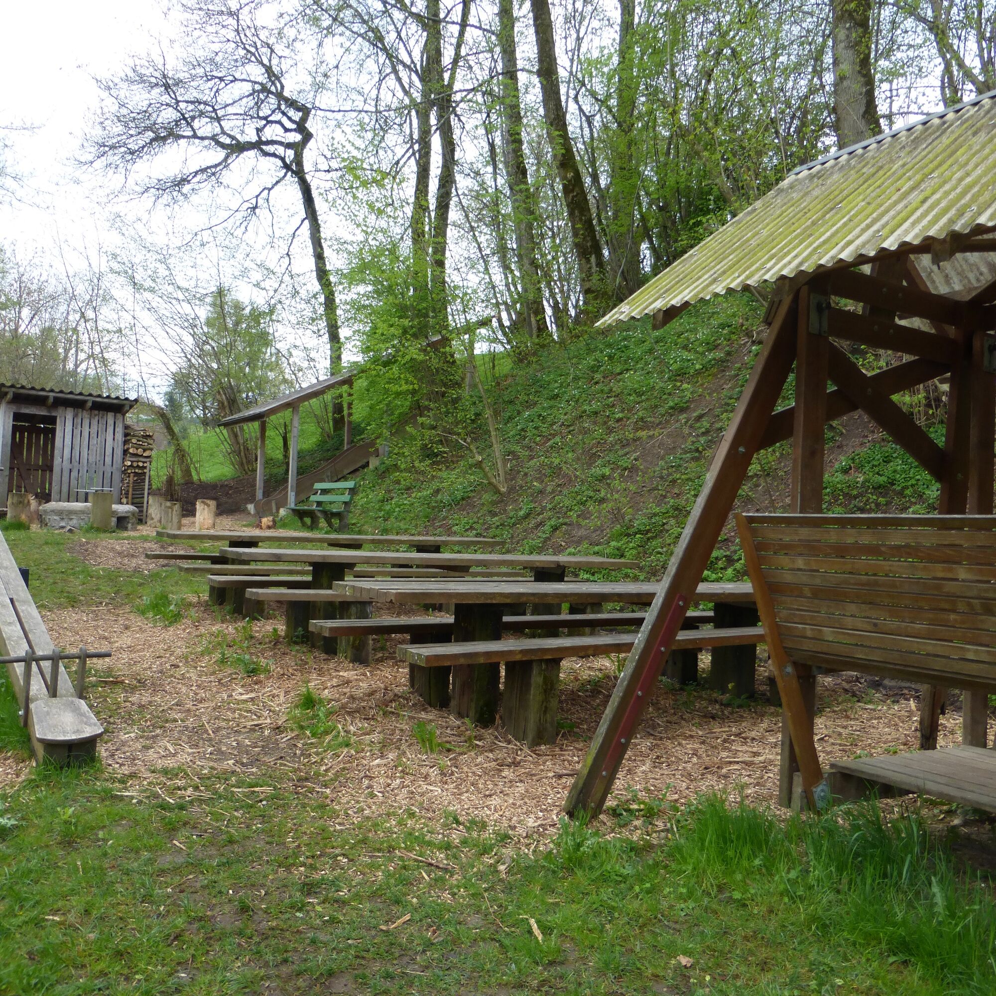
© Fritz Brönnimann

- Brief description
-
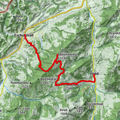
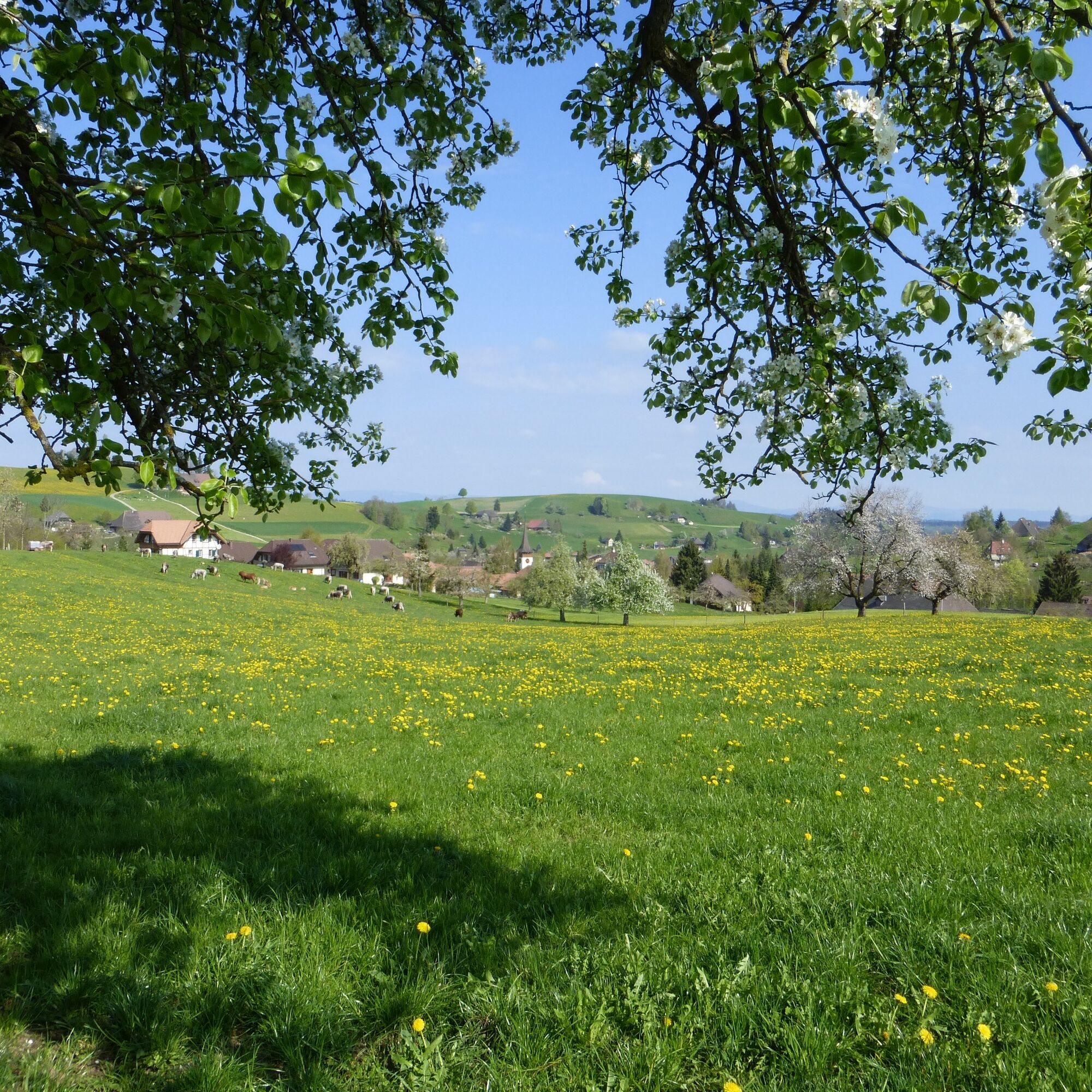
Im Gebiet von Eriswil und der Fritzeflue, im Quellgebiet der Langete, lässt es sich in einer lieblichen Landschaft herrlich wandern. Thomas Widmer, wohl bekanntester schreibender Wanderer der Schweiz, meinte: „Wenn das Wort „Frieden“ eine Landschaft wäre, dann diese“. Einzelne Abschnitte mit Hartbelag, sonst durchwegs Naturwege.
- Difficulty
-
easy
- Rating
-
- Route
-
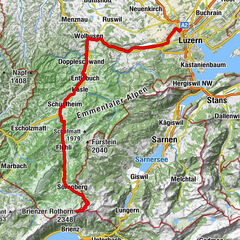
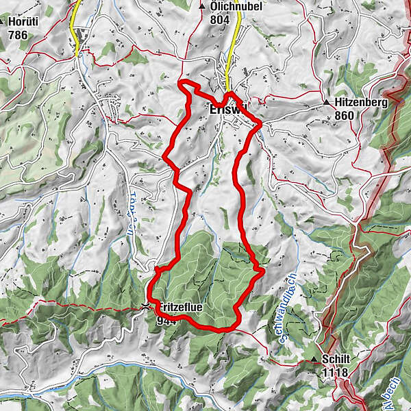
Gasthof Alpen0.0 kmEriswil0.2 kmSchynen0.8 kmHohfuhren2.2 kmRütimatt2.4 kmLangeten2.9 kmPanoramarestaurant Fritzenfluh3.9 kmFritzeflue (944 m)4.3 kmChäpplerspitz4.9 kmRinderweid7.5 kmHitzenberg8.6 kmEriswil9.0 kmGasthof Alpen9.2 km
- Best season
-
JanFebMarAprMayJunJulAugSepOctNovDec
- Highest point
- 1,018 m
- Endpoint
-
Eriswil
- Height profile
-
 © outdooractive.com
-

-
AuthorThe tour Zuoberst im Langetetal is used by outdooractive.com provided.
GPS Downloads


General info
Refreshment stop
Other tours in the regions
-
Solothurn und Region
1455
-
Willisau Luzern
560
-
Eriswil
161