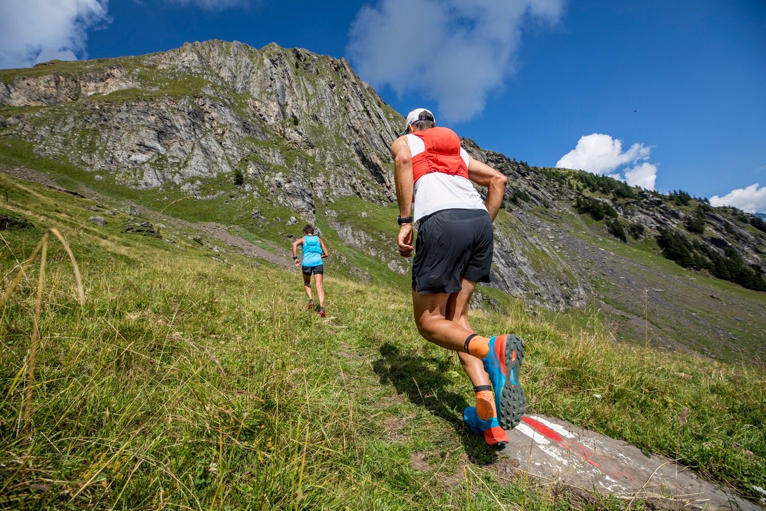
- Brief description
-
A trail rich in adventure with impressive panoramic views, plenty of eateries and the option to return to the valley via the First cableway.
- Difficulty
-
medium
- Rating
-
- Starting point
-
Grindelwald sports centre
- Route
-
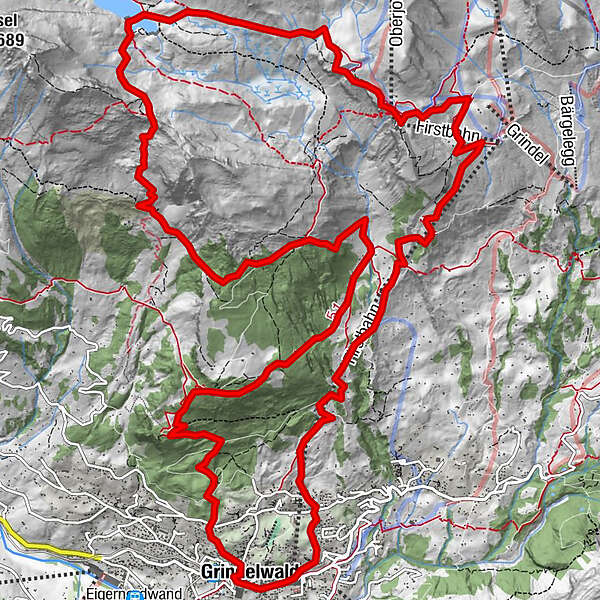
Grindelwald0.1 kmSwiss Alp Resort0.4 kmAellfluh2.1 kmNodhalten3.5 kmBerggasthaus Waldspitz6.1 kmHireleni9.6 kmFirst13.6 kmBerggasthaus First13.7 kmChuestall17.3 kmBergrestaurant Bort17.3 kmGrindelwald21.1 km
- Best season
-
JanFebMarAprMayJunJulAugSepOctNovDec
- Description
-
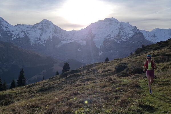
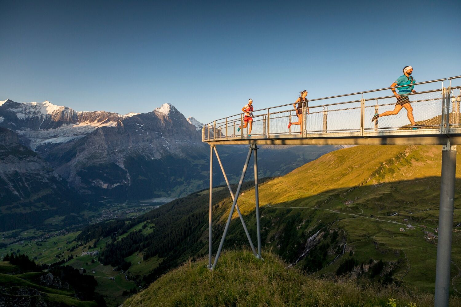
This beautiful 21.9km trail has a height gain of 1625m and is recommended from May to October. The trail starts in Grindelwald village with a short climb to Aellfluh where you’ll be rewarded with a wonderful view of the valley before continuing to the Berggasthaus at Waldspitz with its cosy interior and lovely sun terrace. From here, the trail rises steadily up to the picturesque Bachalpsee, passing along the lake on its way around to First. If you like a little adventure, there are ‘Mountain Carts’ to rent at First station which promise a slightly more rapid descent to Bort, where you can then hop on a Trottibike to cruise the last stretch to the valley floor. Another alternative is descending via cableway from First station.
- Directions
-
Village – Aellfluh – Niederbach – Waldspitz – Spitzen – Bachalpsee – First - village
- Highest point
- 2,322 m
- Endpoint
-
Grindelwald sports centre
- Height profile
-
 © outdooractive.com
 - Equipment
-
First Aid Kit
Weather-appropriate clothing (always carry waterproofs)
Drink/food provisions
Mobile phone - Safety instructions
-
Caution advised during thunderstorms
Mind snow patches in spring - Tips
-
Free running shoe test at the Backdoor Shop Grindelwald
A refreshing drink or a snack at the mountain guesthouse First
- Additional information
- Directions
-
From Basel and Geneva, the fastest route to the Jungfrau Region is via Bern. From Zurich, the route via Lucerne and the Brünig Pass is recommended. The pass is open all year round.
From the south, travel to the Jungfrau Region via the Grimsel or Susten Pass. Both passes are only open in summer. An alternative is the Simplon Pass with subsequent car transport through the Lötschberg tunnel.
Grindelwald
From Interlaken we follow the main road to Zweilütschinen. Here we turn left towards Grindelwald. The whole trip takes about 30 minutes and leads over a partly winding road.
- Public transportation
-
Thanks to its central location in Europe, Switzerland is served by international trains from over 12 countries. Within Switzerland, Intercity trains run from Basel and Lucerne directly to the Jungfrau Region. Travellers from Zurich change trains in Bern. The trains run every half hour.
Grindelwald
From Interlaken Ost railway station we reach Grindelwald without changing trains on the Bernese Oberland Bahn (BOB). Important: Get on the rear part of the train, as it splits in Zweilütschinen. If you get on at the front, you will end up in Lauterbrunnen. The journey takes 30 minutes to Grindelwald Terminal (V-Bahn). Three minutes later we are at the terminal in the village.
There are three stations in Grindelwald (Terminal, Grund and Dorf). The terminal station (Dorf) is in the centre of Grindelwald.
- Parking
-
Grindelwald
There are three public car parks: Parkhaus Eiger+ (252 parking spaces), Parkhaus Sportzentrum (160 parking spaces) and the new Terminal Parking (1000 spaces) of the V-Bahn. Alternatively, we can also use the car park in Grindelwald Grund.

- Author
-
The tour Grindelwald Trail 21 is used by outdooractive.com provided.
General info
-
Obwalden
66
-
Jungfrau Region
54
-
Grindelwald - First
40