- Brief description
-
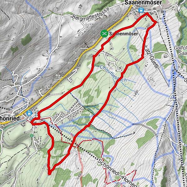
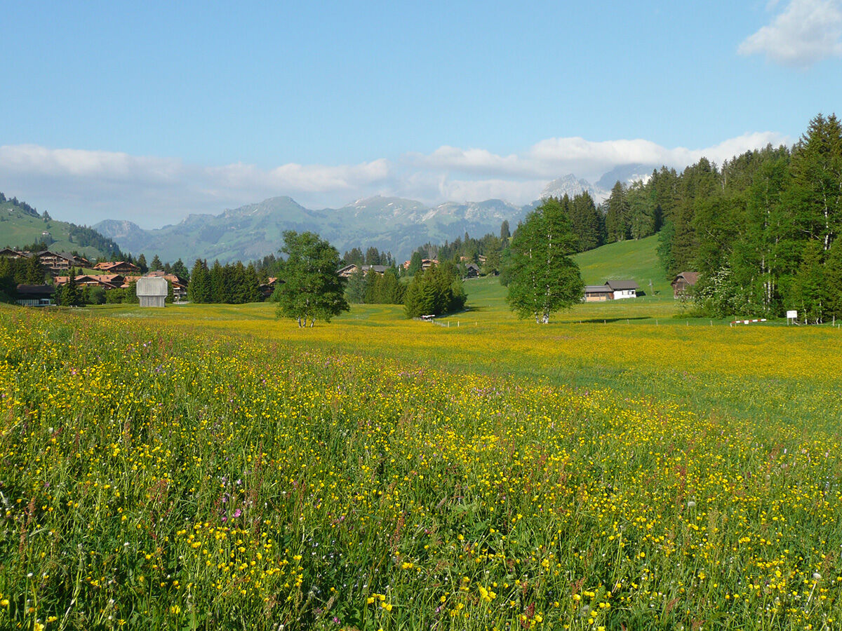
The moderately difficult Helsana Trail from Schönried on the sunny plateau.
- Difficulty
-
medium
- Rating
-
- Starting point
-
valley station mountain railway Horneggli, Schönried
- Route
-
Schönried (1,200 m)Saanenmöser2.3 kmSchönried (1,200 m)6.2 km
- Best season
-
JanFebMarAprMayJunJulAugSepOctNovDec
- Description
-
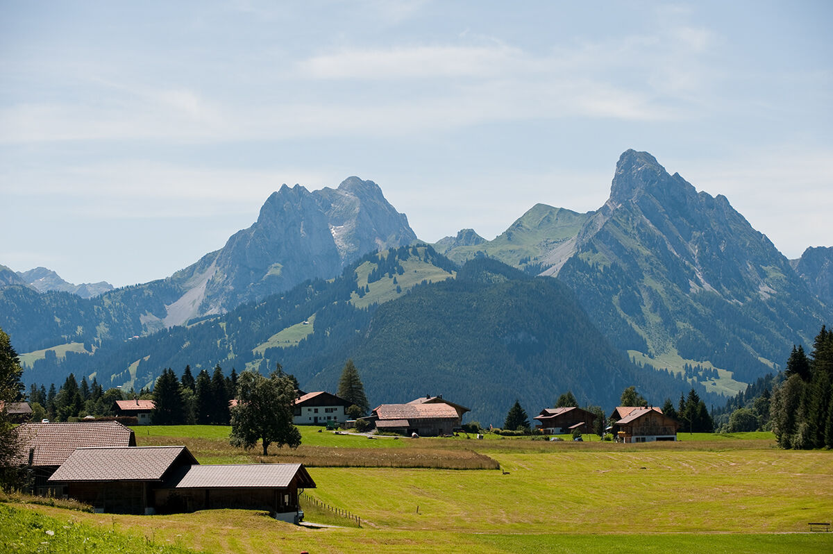
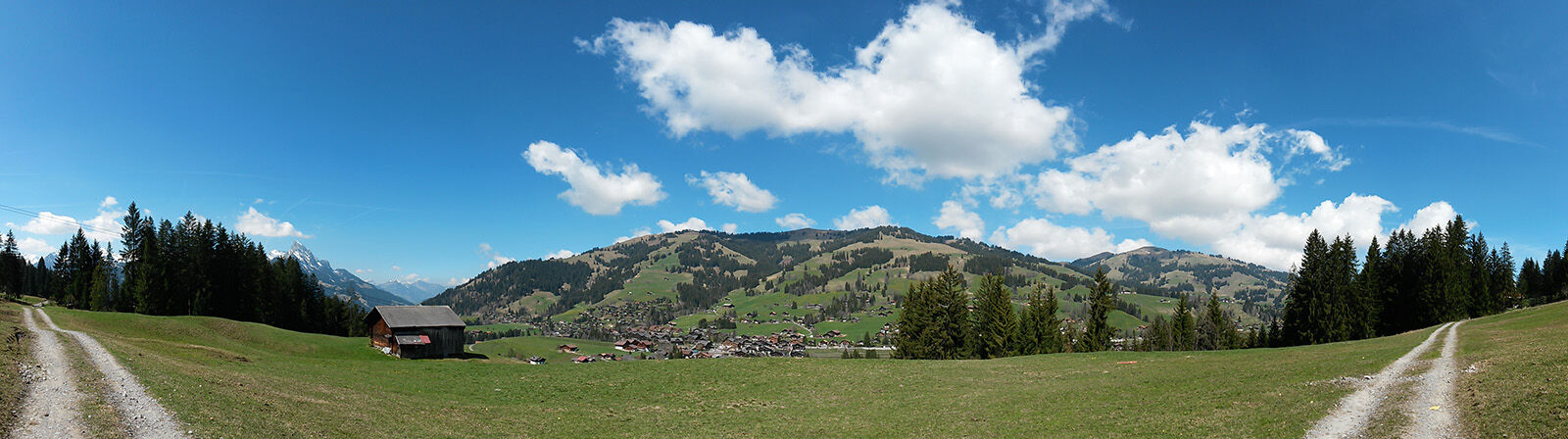
The beautiful Helsana Trail starts at the chalet village of Schönried. This tranquil route takes you through an enchanting unspoilt landscape of typical Swiss picture-postcard beauty.
No sooner do you leave the village of Schönried than you start your descent. Surrounded by flowering meadows, shady forests and rolling hills, this route is pleasantly relaxing. It first takes you on the promenade path towards Saanenmöser. Along the way you will be able to admire the typical local chalet-style farmsteads in their original form. After about 2 kilometres, there is an upward slope of some 100 vertical metres. Now you find yourself on a higher trail for the pleasant walk towards Schlittmoos and then back to Schönried.
- Directions
-
Firm, wide gravel path, partly roadway (official trail)
- Highest point
- 1,345 m
- Endpoint
-
valley station mountain railway Horneggli, Schönried
- Height profile
-
 © outdooractive.com
 - Equipment
-
Good trail running shoes are recommended
- Safety instructions
-
There may be cattle or people with dogs along the way.
- Tips
-
After all your efforts, it’s time to enjoy a tasty meal or a cold drink at the Hotel Kernen or the Restaurant Bärgsunne.
- Additional information
- Directions
- Public transportation
-
Bahnhof Schönried
- Parking
-
Horneggli cable car station.
The parking spaces in the villages of Gstaad, Saanen, Schönried and Saanenmöser are managed by the municipality of Saanen or by Bergbahnen Destination Gstaad AG. With a few exceptions, you can use the ParkingPay app to pay parking fees and access free parking (www.parkingpay.ch).

-

-
AuthorThe tour Helsana Trail: Schönried - Saanenmöser - Schönried, green is used by outdooractive.com provided.


General info
-
Alpes Vaudoises
38
-
Destination Gstaad
31
-
Saanenmöser
18