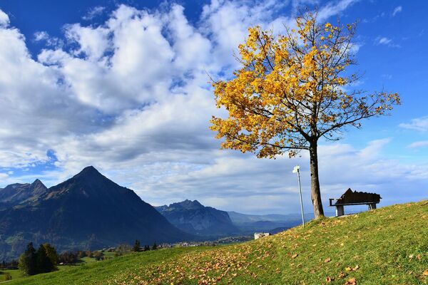

- Brief description
-
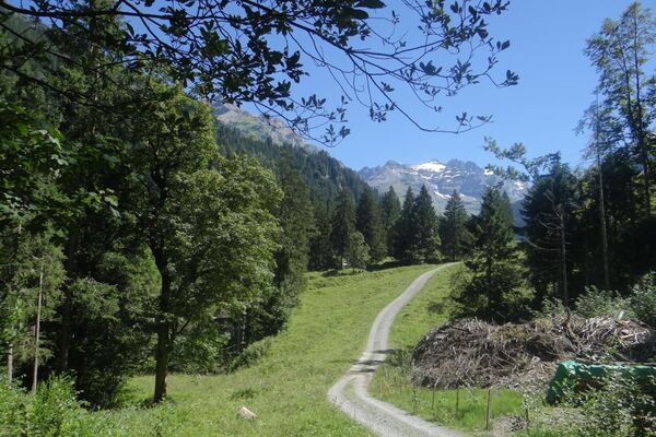
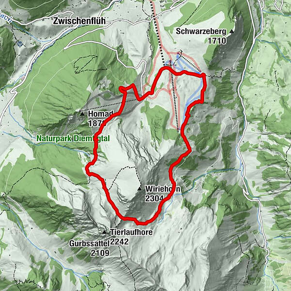
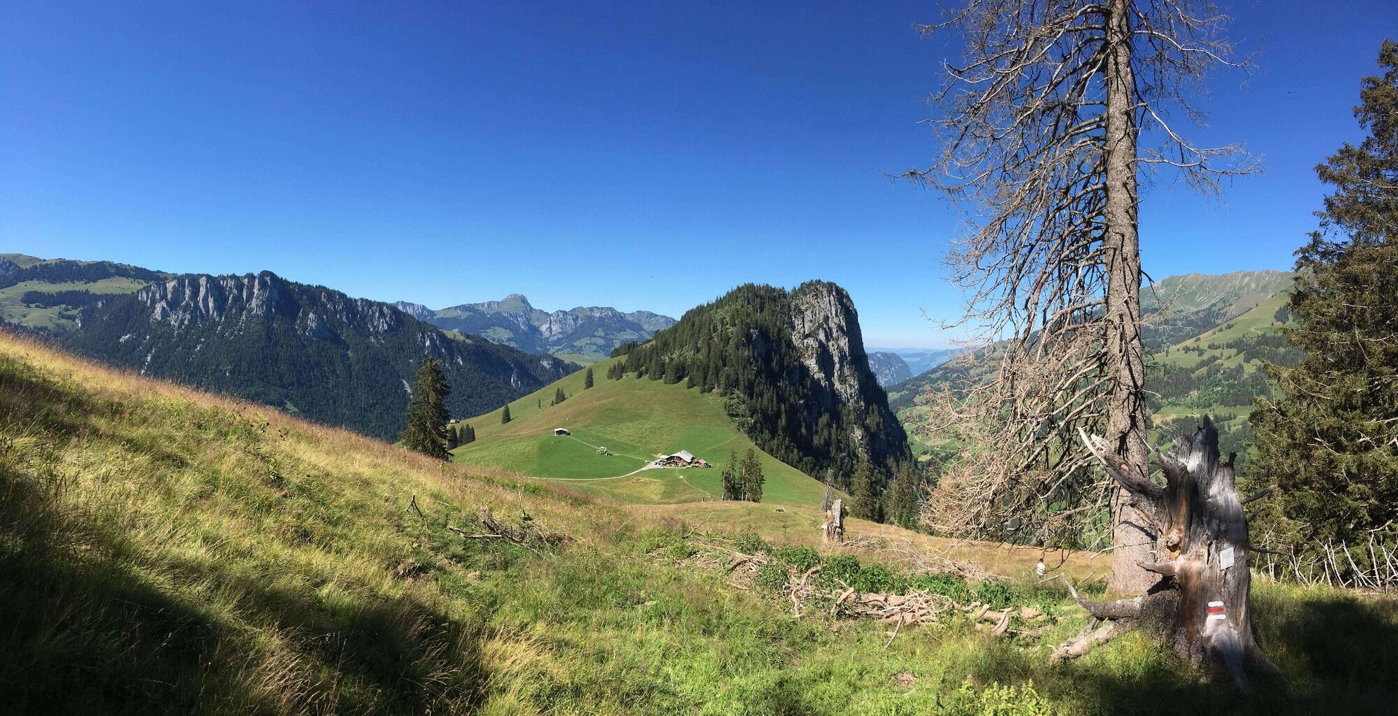
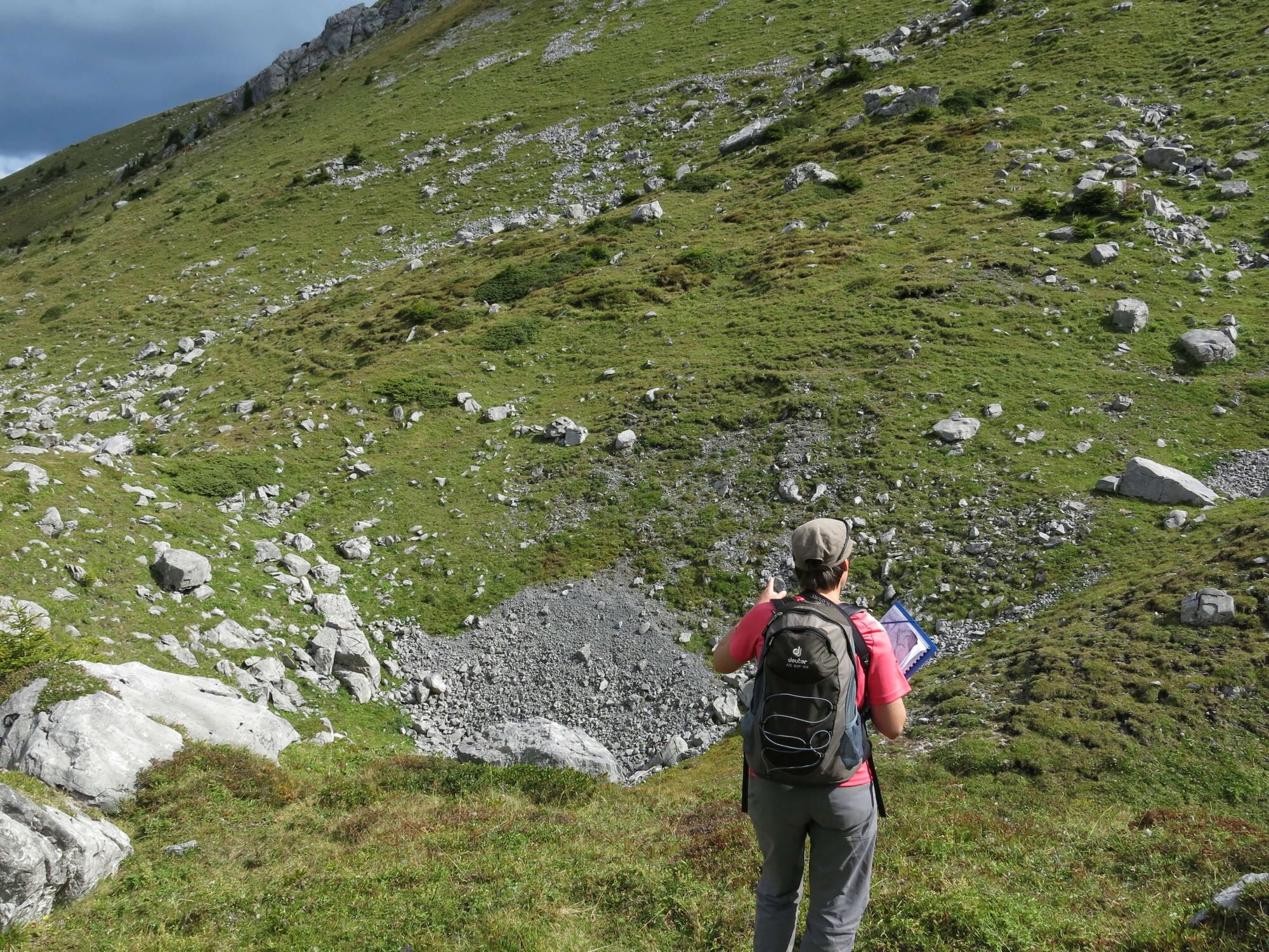
The geological trail leads around the Wiriehorn and shows the history of the formation of this landscape. It conveys interesting facts about mountain and valley, glacier and water, rock and stone.
- Difficulty
-
medium
- Rating
-
- Starting point
-
Wiriehorn mountain station (Nüegg), Zwischenflüh
- Route
-
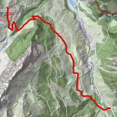
Schwarzeberg8.4 kmBergrestaurant Nüegg9.2 km
- Best season
-
JanFebMarAprMayJunJulAugSepOctNovDec
- Description
-
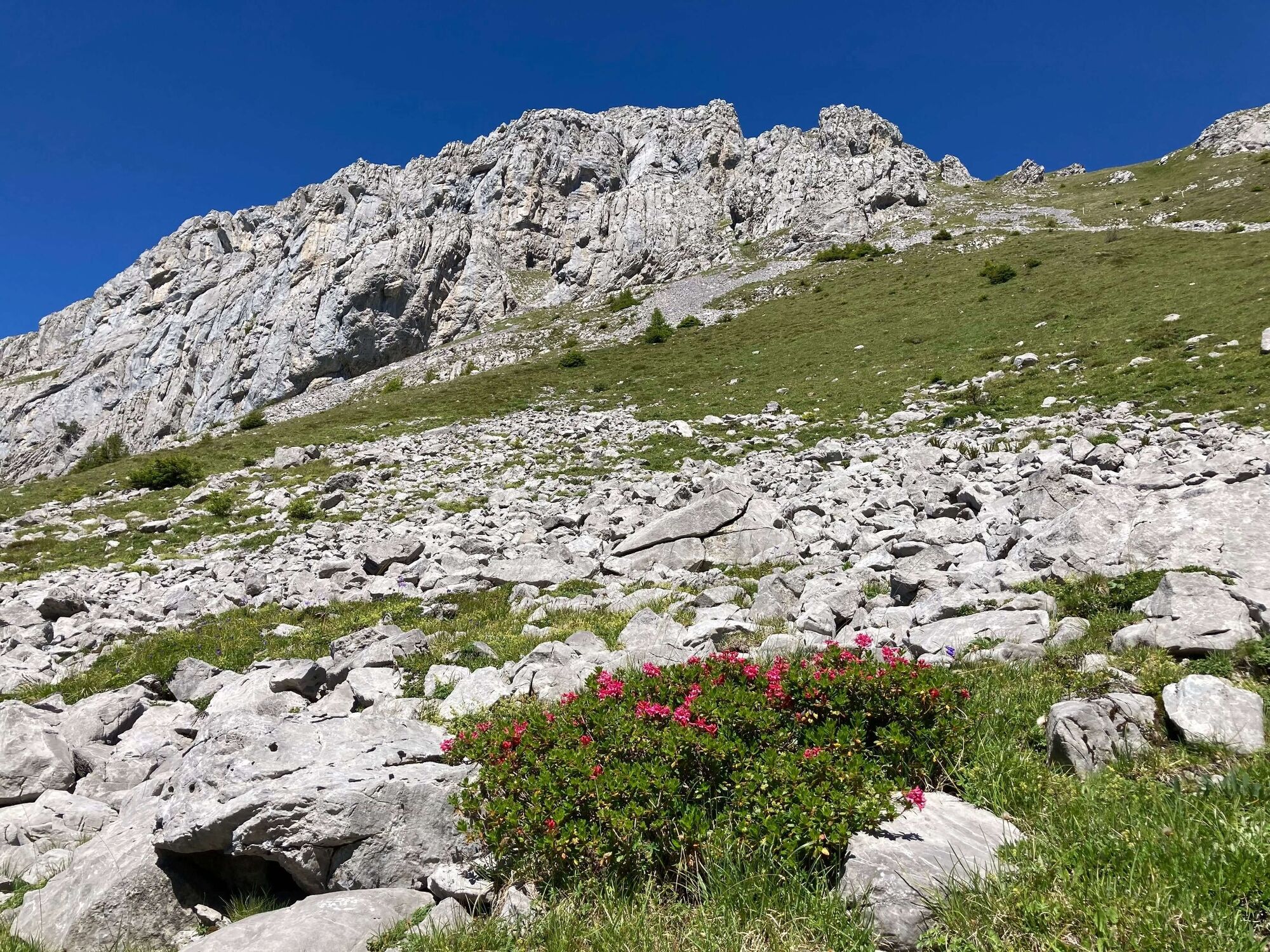
The landscape in the Diemtigtal was formed, moved, layered and eroded again over millions of years. How does a cultural landscape with grazing cows emerge from a sea? How did the Wiriehorn get its typical shape? Whose traces of earlier times are still visible in the terrain today?
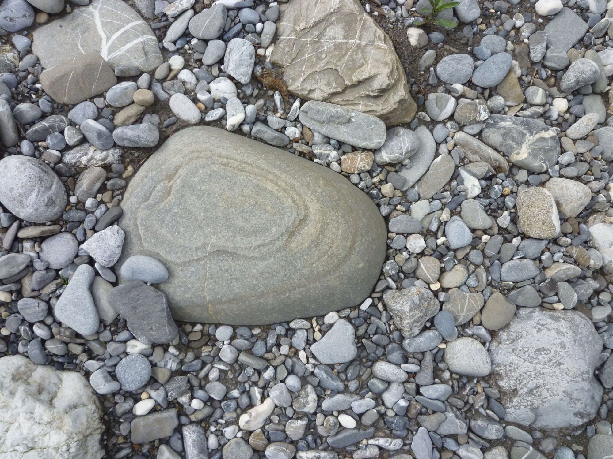
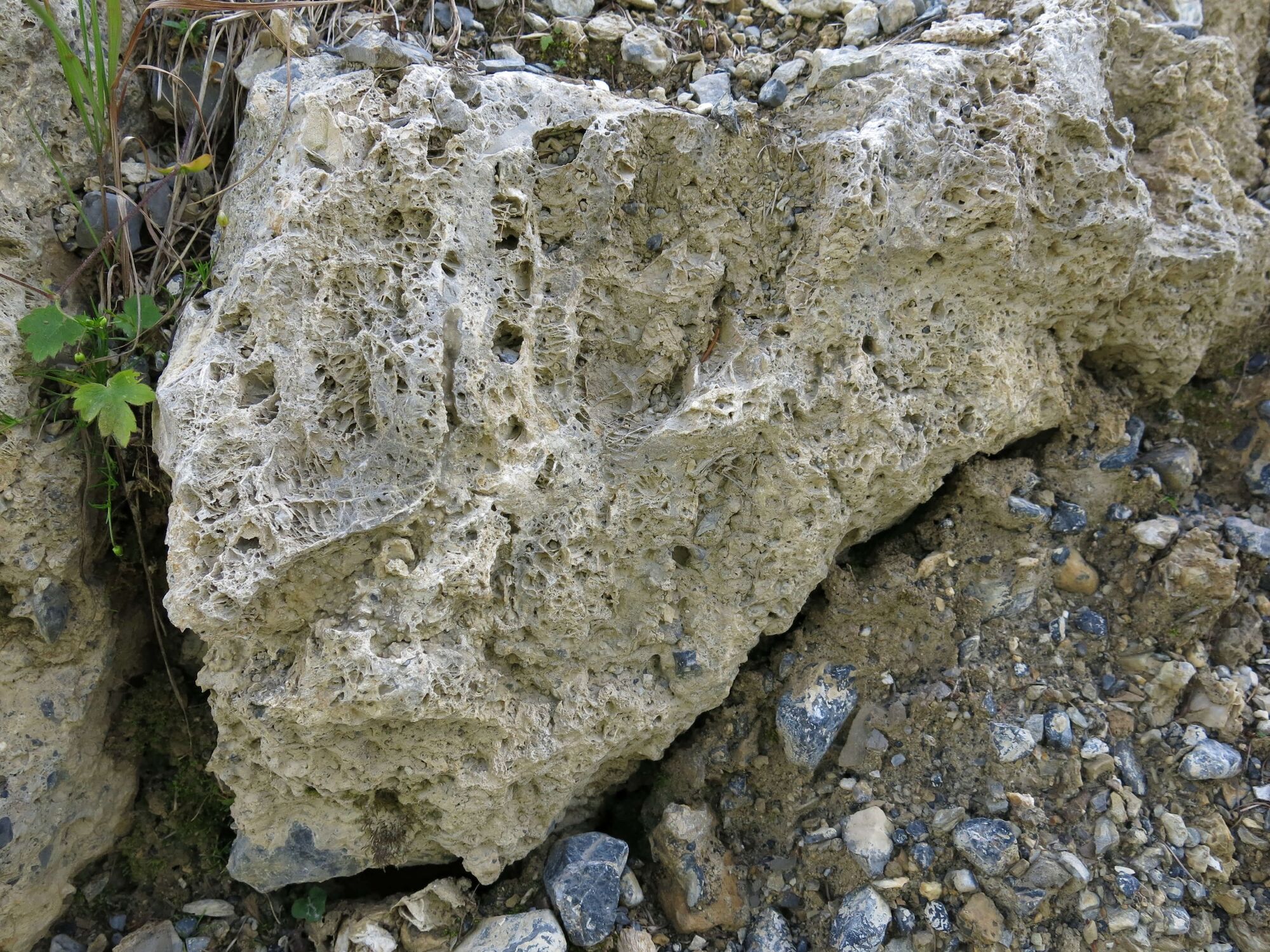
The rock of the Wiriehorn is very old, it was formed around 240 million years ago. That is, during the time when dinosaurs also lived on our planet. 240 million years ago, large areas were covered by a sea. Dead plants, mussels and shells were deposited on the seabed. They mixed with minerals, solidified and became stone. Later – during the formation of the Alps – the rock was lifted and moved here. Today it forms the summit of the Wiriehorn.
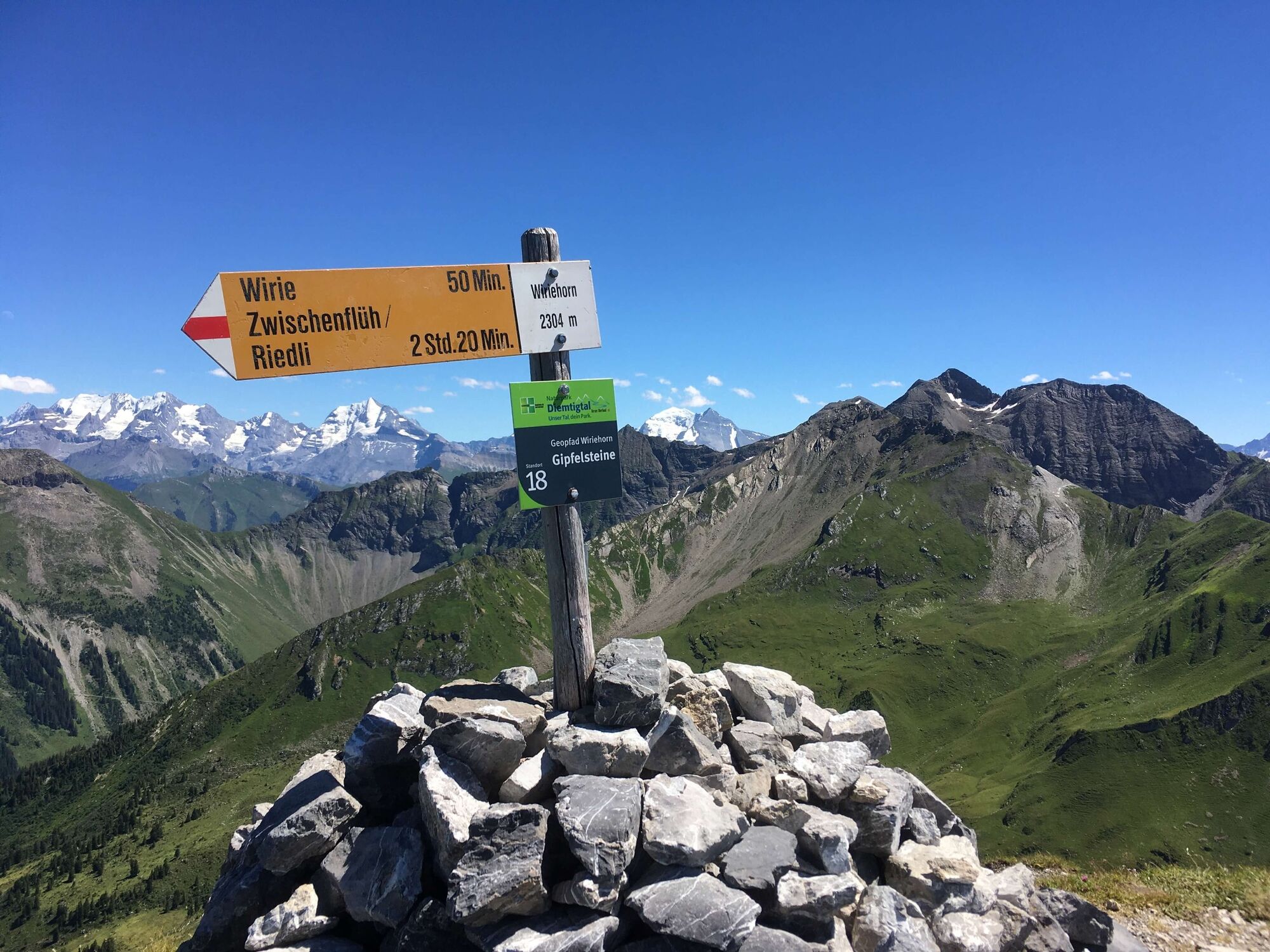
More exciting questions and answers await you on the geological trail around the Wiriehorn (information booklet only available in German). - Directions
-
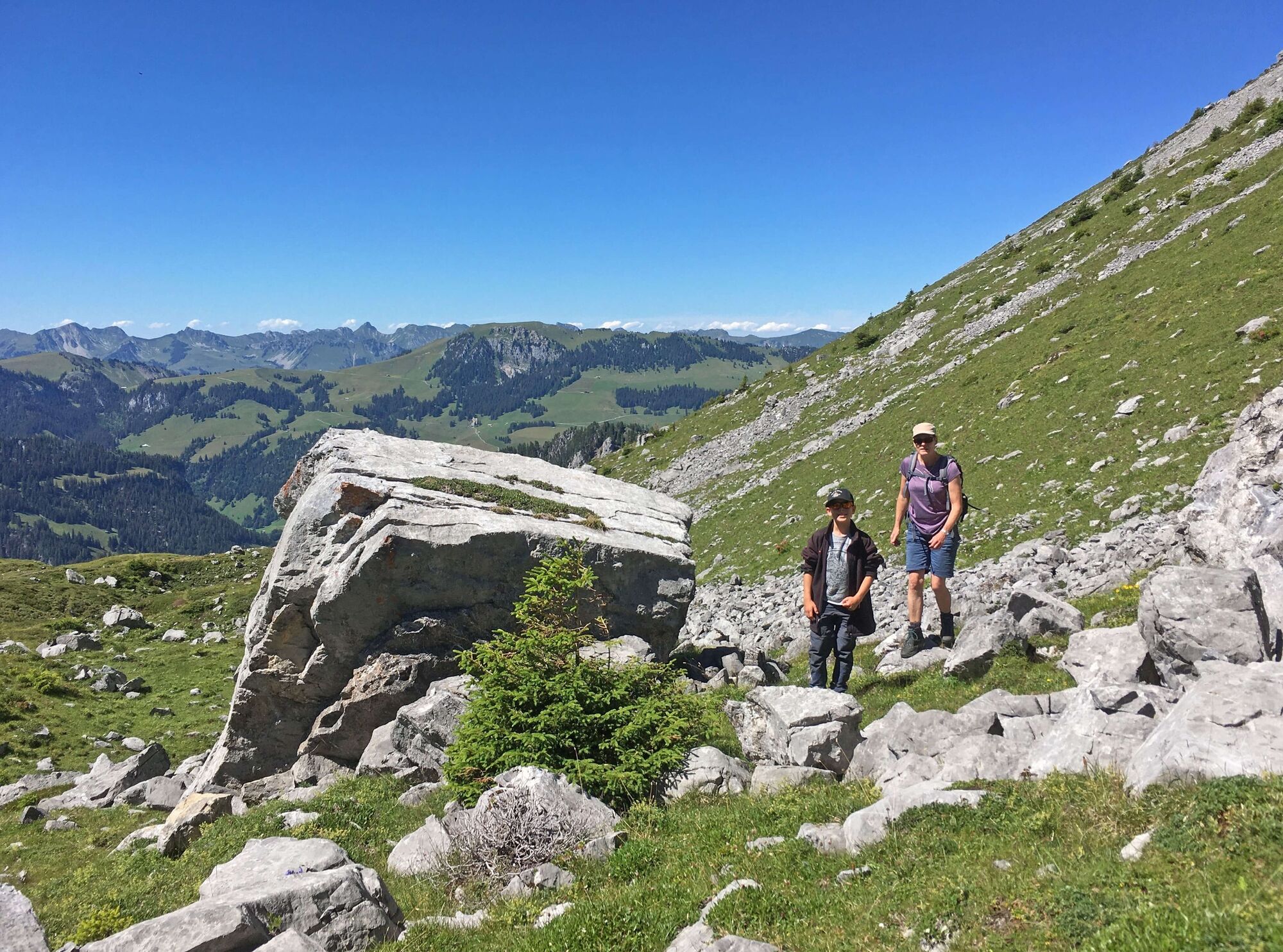
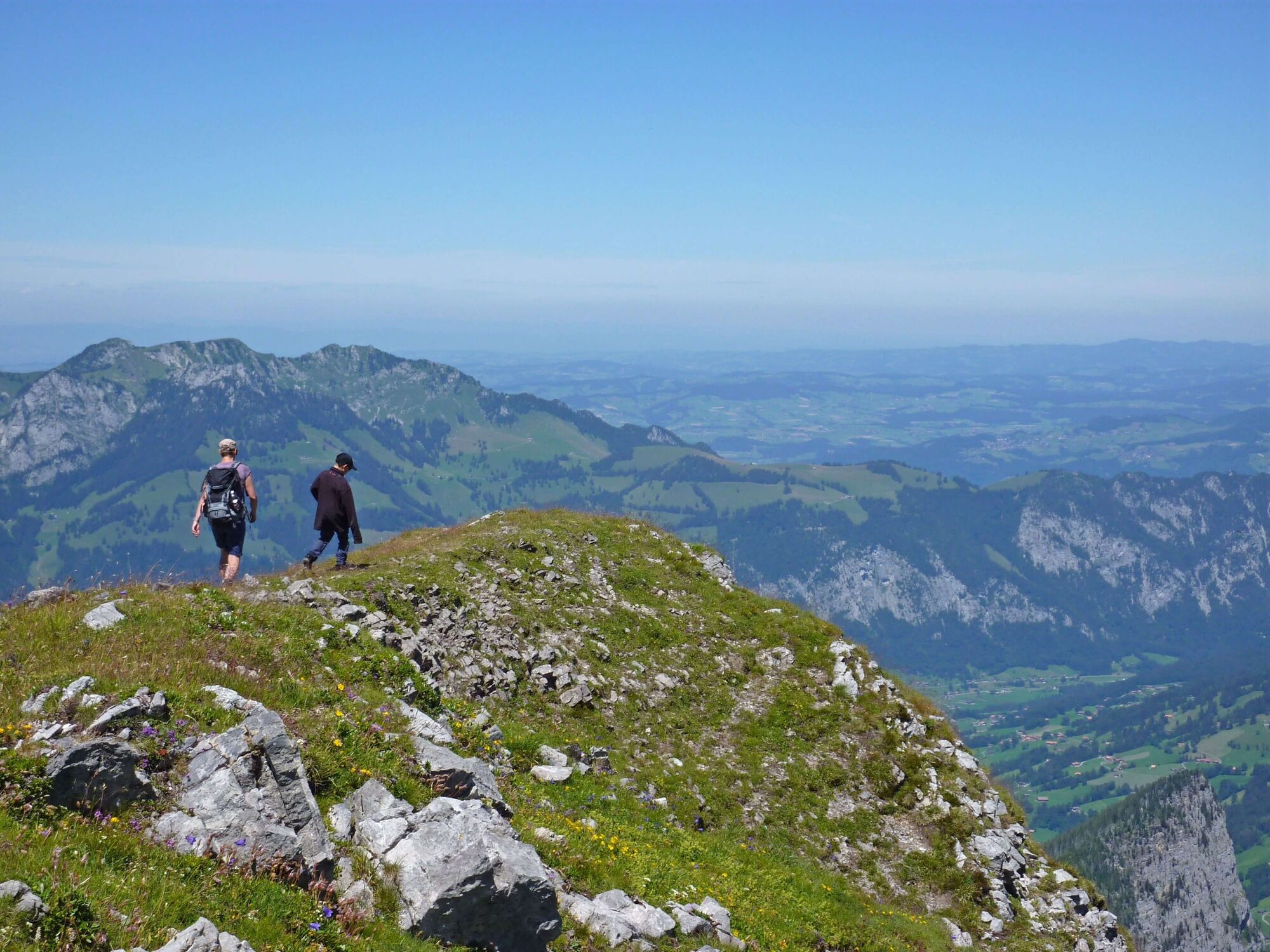
Follow the geological trail from the Wiriehorn mountain station (Nüegg) in the direction of «Underi Heitere». Over the «Bodeflue» to the «Wirie» you will pass exciting sites and theme trail posts. From here you have the option of climbing to the summit of the Wiriehorn. Otherwise, the geological trail leads you around the Wiriehorn, further via «Gurbs Metteberg», «Abendmatte» to «Tubefärich». The last part of the trail leads past the Schwarzenberg mountain restaurant back to the mountain station. The trail is marked with white direction markers and a green route field.
- Highest point
- 2,029 m
- Endpoint
-
Wiriehorn mountain station (Nüegg), Zwischenflüh
- Height profile
-
 © outdooractive.com
 - Equipment
-
Sturdy shoes, Clothing appropriate to the weather, food and drinks for the road
- Tips
-
A detailed geological trail brochure with geological background information in German is available for Fr. 3 from the Diemtigtal Nature Park office.
- Additional information
-
A flyer in German with an overview map is available from the Diemtigtal Nature Park office.
Diemtigtal Nature Park
Bahnhofstrasse 20
3753 Oey
Phone +41 33 552 26 00
info@diemtigtal.ch
www.diemtigtal.ch
Open or closed?
Find out in our > summer sports report
Catering options
Berghotel Wiriehorn: Restaurant at the top station of the Wiriehorn chairlift (open when the chairlift is in operation)
Phone +41 33 684 12 42, www.wiriehorn.ch
Alp Schwarzenberg mountain restaurant: restaurant accessible by a short walk from the Wiriehorn mountain station
Phone +41 33 684 13 32 or +41 33 684 13 97, www.alp-schwarzenberg.ch - Directions
-
Motorway A6 Bern direction Zweisimmen, 1 km after the Simmenfluhtunnel turn left direction Diemtigtal. Follow the Diemtigtalstrasse into the valley for 13 km. 200 m before the Seebergsee junction (Zwischenflüh), turn left over the bridge (signposted Enetchirel / Entschwil). Take the first turning on the right and follow the signs for «Berghotel Wiriehorn» or «Bergrestaurant Schwarzenberg» for 5 km.
Alternative with chairlift
Motorway A6 Bern direction Zweisimmen, 1 km after the Simmenfluhtunnel turn left direction Diemtigtal. Follow the Diemtigtal road into the valley for 11 km to the Wiriehorn valley station. From here, the Wiriehorn chairlift takes you up to the Nüegg mountain station (note operating times: www.wiriehorn.ch). - Public transportation
- Parking
-
There are around 1000 parking spaces at the Wiriehorn valley station. The number of parking spaces at the top station is limited.


- Author
-
The tour Wiriehorn geological trail is used by outdooractive.com provided.


General info
-
Oberwallis
1871
-
Naturpark Diemtigtal
933
-
Erlenbach / Simmental
228