

- Brief description
-
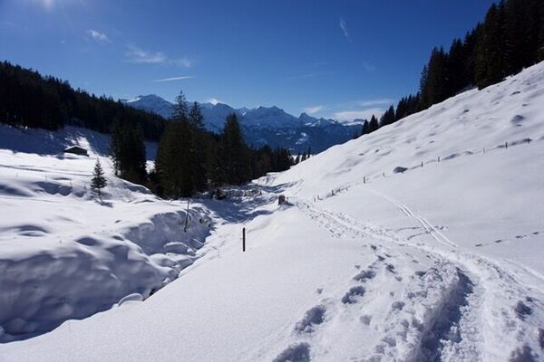
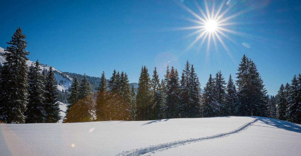
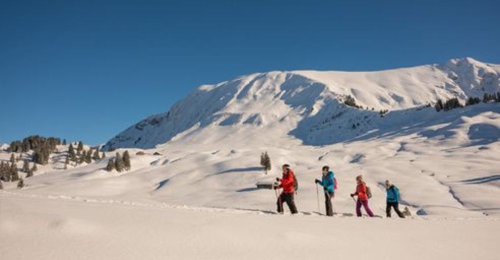
Snowshoeing is not permitted across the Habkern moor, except on specified trails. A hike along a good path, through idyllic winter landscapes, undisturbed by irritating snowshoe tracks...what could be nicer than that? This is why we have “Stay on the trail” as our motto: help do your bit by sticking to the trail too!
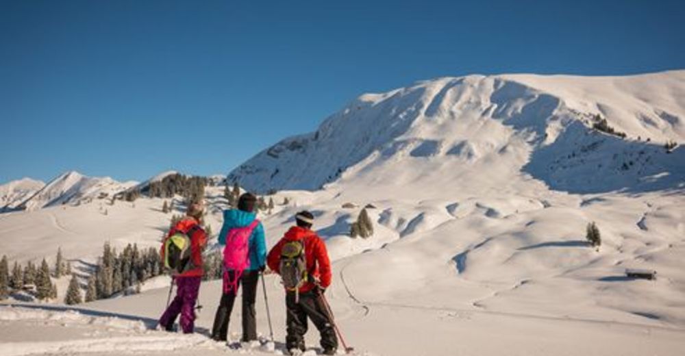
Cross-country tours or winter hikes offer an active way to relax. If you're looking for something a little more romantic, why not opt for the night-time snowshoe tour, culminating with a delicious fondue? A unique snowshoe experience on marked trails in pristine nature!
- Difficulty
-
medium
- Rating
-
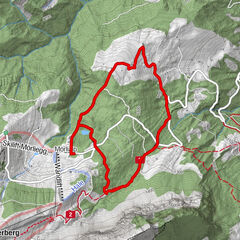
- Route
-
JägerstübliLombachalp0.0 kmSpycher4.8 kmBolberg (1,799 m)6.1 kmJägerstübli8.6 kmLombachalp8.6 km
- Best season
-
AugSepOctNovDecJanFebMarAprMayJunJul
- Highest point
- 1,735 m
- Endpoint
-
Habkern, Lombachalp
- Height profile
-
 © outdooractive.com
 - Equipment
-
We recommend the following equipment: Sturdy, waterproof hiking shoes, light- to medium-weight backpack, cold protection, sun protection, hiking sticks, first aid kit, snacks, tea in a thermos flask.
- Safety instructions
-
This route is marked as a snowshoe trail, however has not been specially prepared. Please pay attention to snow and avalanche reports!
Hike time depends on the quantity of snow, the condition of your chosen route and your fitness. As a guide, you can expect to cover 2-3km/h.
- Directions
-
By car: Via Interlaken to Habkern. Once in Habkern, take the Bus Alpin bus to Lombachalp.
- Public transportation
-
Take the train to Interlaken and then the bus to Habkern. From Habkern, take the Bus Alpin bus to Lombachalp. See also: www.busalpin.ch/


-

-
AuthorThe tour Lombachalp (Habkern) snowshoe tour is used by outdooractive.com provided.


General info
-
Obwalden
122
-
Interlaken
81
-
Habkern
20