- Difficulty
-
difficult
- Rating
-
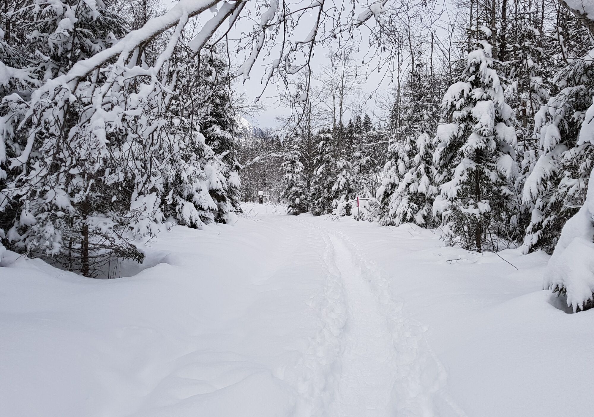
- Route
-
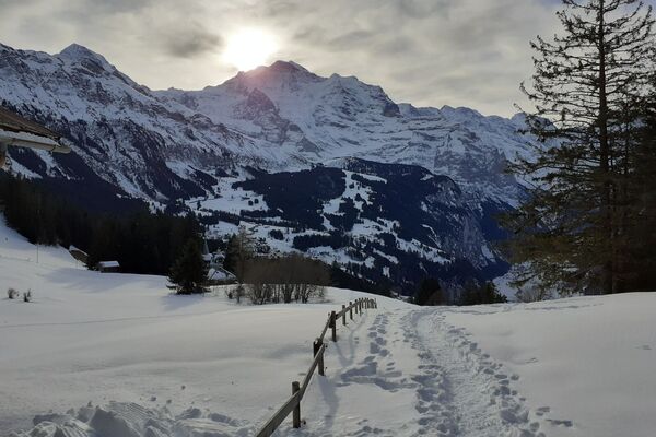
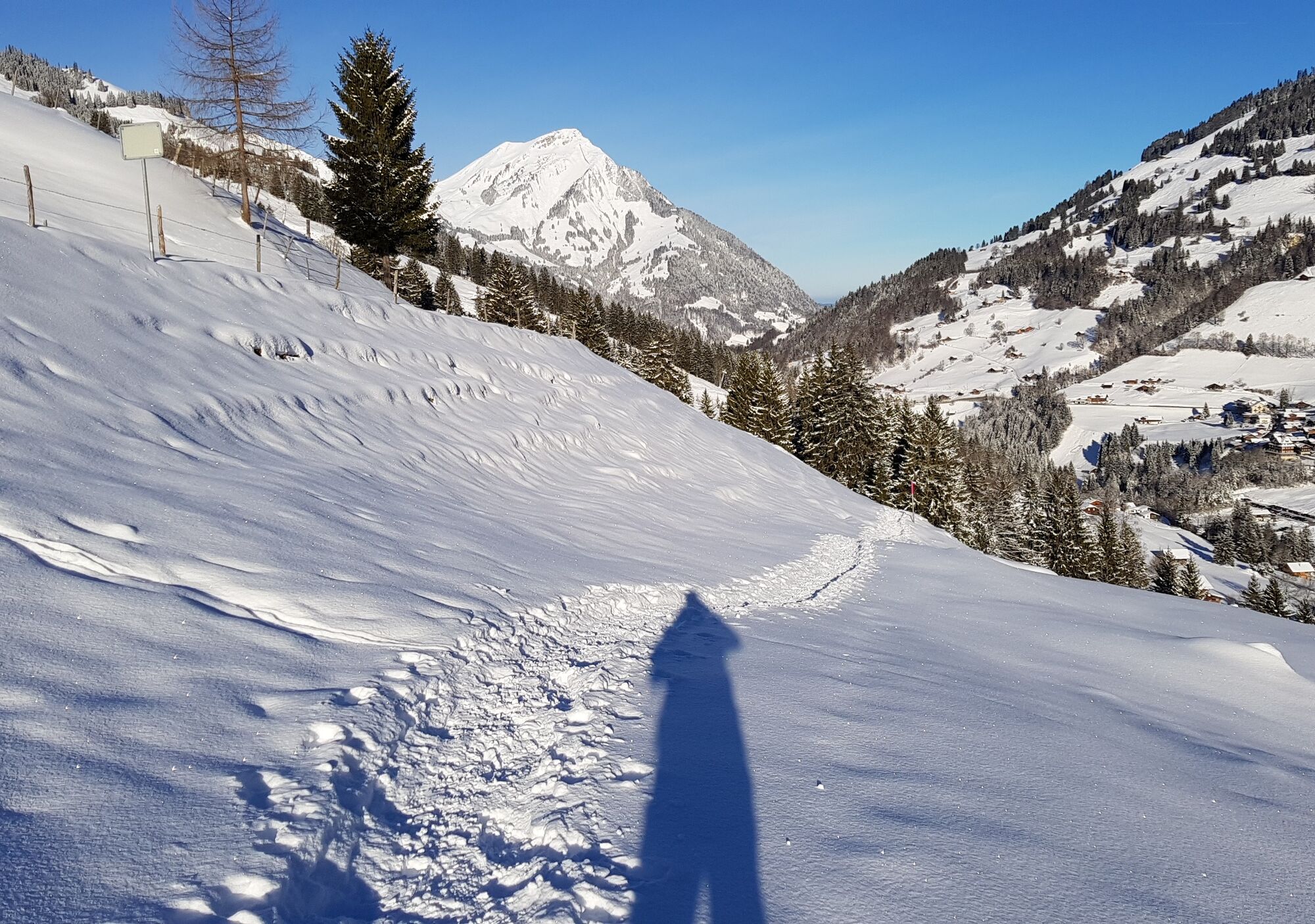
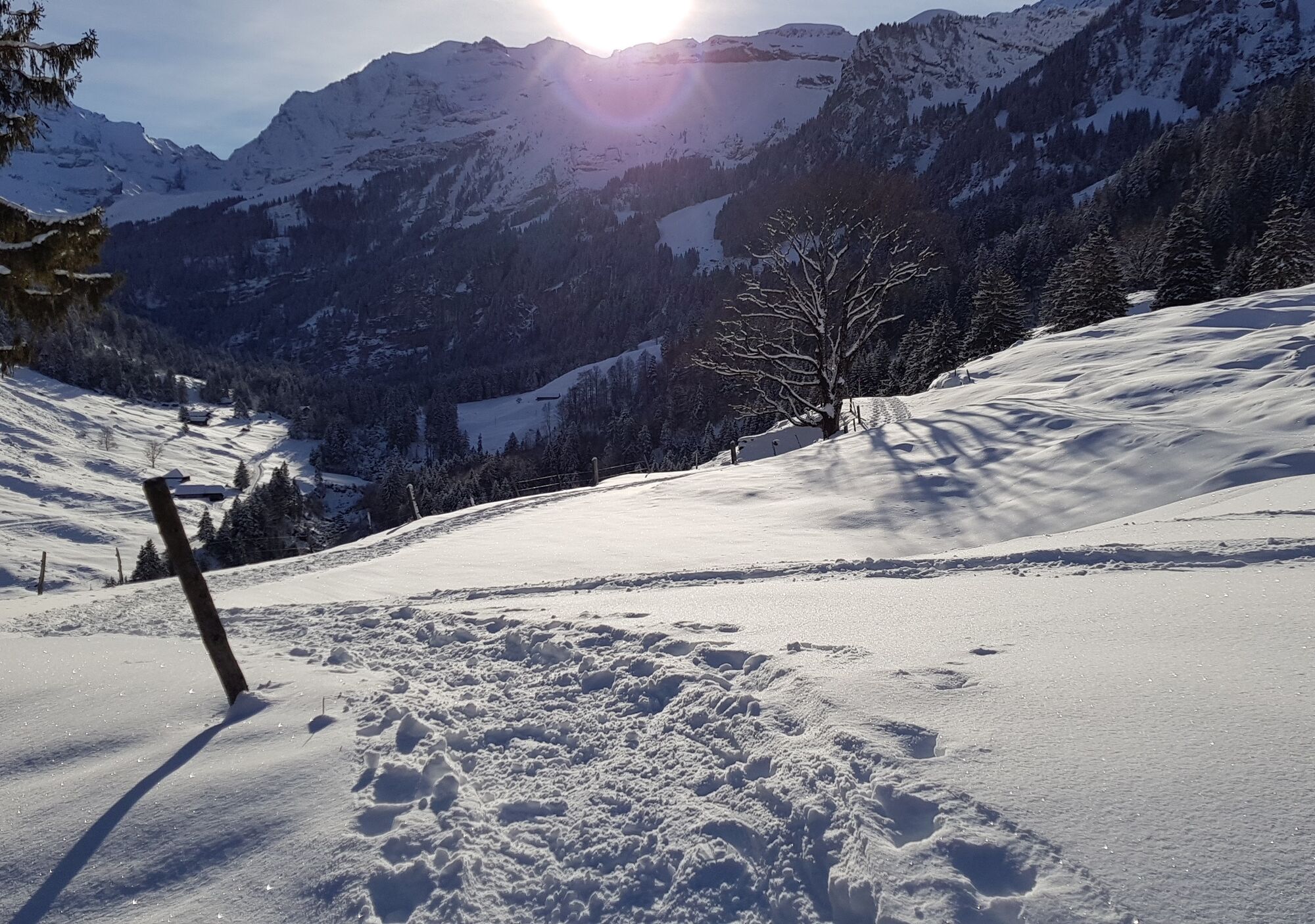
Kiental (958 m)Tschingelbach2.9 kmTschingelstöckli4.9 kmBallenen9.2 kmKobene9.6 kmWolfen9.9 kmKiental (958 m)10.8 km
- Best season
-
AugSepOctNovDecJanFebMarAprMayJunJul
- Highest point
- 1,182 m
- Endpoint
-
Kiental
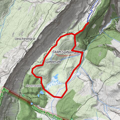
- Height profile
-
 © outdooractive.com


-

-
AuthorThe tour Kiental Trail - Kiental (signalisiert) is used by outdooractive.com provided.
GPS Downloads


General info
Fauna
Other tours in the regions
-
Oberwallis
197
-
Ferienregion Kandertal
84
-
Kiental
24