


- Difficulty
-
easy
- Rating
-
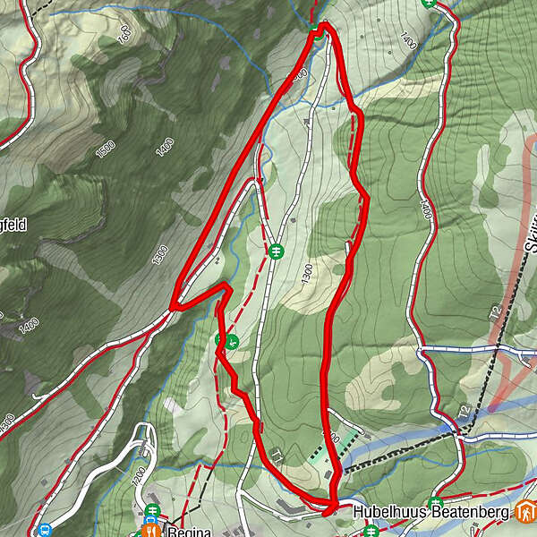
- Route
-
Schiffplatz2.3 km
- Best season
-
AugSepOctNovDecJanFebMarAprMayJunJul
- Highest point
- 1,338 m
- Endpoint
-
Waldegg Hohwald
- Height profile
-
 © outdooractive.com


-

-
AuthorThe tour Waldegg Trail - Beatenberg (signalisiert) is used by outdooractive.com provided.
GPS Downloads


General info
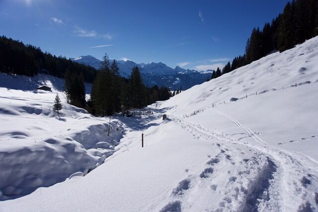
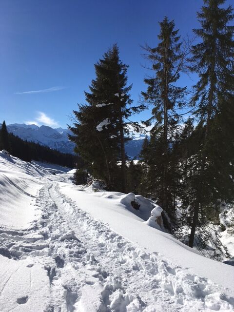
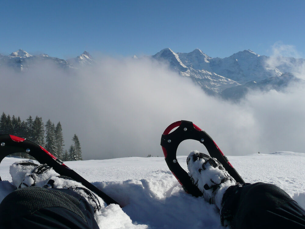
A lot of view
Other tours in the regions
-
Obwalden
122
-
Interlaken
81
-
Beatenberg
20


