- Brief description
-
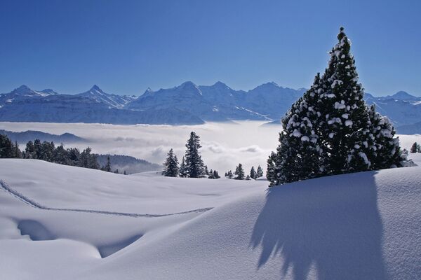
Trail with impressive views of the imposing Eiger North Face
- Difficulty
-
easy
- Rating
-
- Starting point
-
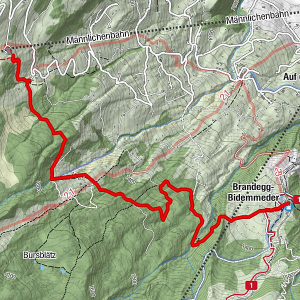
Holenstein, Mittelstation
- Route
-
Brandegg-Bidemmeder4.6 kmRestaurant Brandegg4.9 kmBrandegg (1,333 m)4.9 km
- Best season
-
AugSepOctNovDecJanFebMarAprMayJunJul
- Description
-
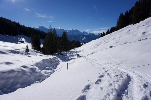
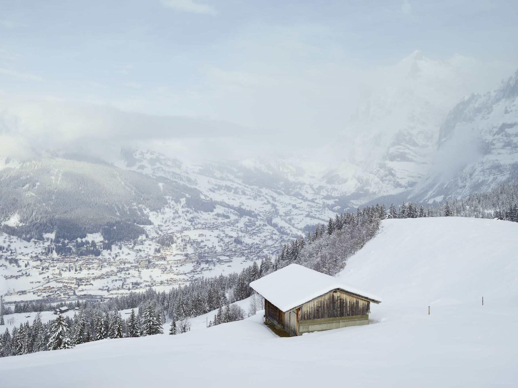
This impressive hike taking in stunning views of the Eiger North Face initially leads over open terrain, past alp huts and cheese storehouses towards Hubelwald forest. Clearings reveal views spanning from the Faulhorn, the Grosse Scheidegg, Wetterhorn and Finsteraarhorn to the 1800-metre-high north face of the Eiger. Following the forest path, the route winds its way towards the Tschuggen ski piste and then through the Itramenwald to the Brandegg mountain restaurant. The trail is marked.
- Directions
-
Holenstein - Hubelwald - Tschuggen - Itramenwald - Brandegg
- Highest point
- 1,612 m
- Endpoint
-
Brandegg
- Height profile
-
 © outdooractive.com
 - Equipment
-
Snowshoes
Telescopic poles
Maps
Sun cream & lip protection
Snacks & drinks
If available: altimeter, compass - Safety instructions
- Tips
-
Strengthen up after your tour in the Restaurant Brandegg.
There is a free winter sports map at the tourist office, where the snowshoe tours are included. - Additional information
- Directions
-
From Basel and Geneva, the fastest route to the Jungfrau Region is via Bern. From Zurich, the route via Lucerne and the Brünig Pass is recommended. The pass is open all year round.
From the south, travel to the Jungfrau Region via the Grimsel or Susten Pass. Both passes are only open in summer. An alternative is the Simplon Pass with subsequent car transport through the Lötschberg tunnel.
Grindelwald
From Interlaken we follow the main road to Zweilütschinen. Here we turn left towards Grindelwald. The whole trip takes about 30 minutes and leads over a partly winding road.
- Public transportation
-
Thanks to its central location in Europe, Switzerland is served by international trains from over 12 countries. Within Switzerland, Intercity trains run from Basel and Lucerne directly to the Jungfrau Region. Travellers from Zurich change trains in Bern. The trains run every half hour.
Grindelwald
From Interlaken Ost railway station we reach Grindelwald without changing trains on the Bernese Oberland Bahn (BOB). Important: Get on the rear part of the train, as it splits in Zweilütschinen. If you get on at the front, you will end up in Lauterbrunnen. The journey takes 30 minutes to Grindelwald Terminal (V-Bahn). Three minutes later we are at the terminal in the village.
There are three stations in Grindelwald (Terminal, Grund and Dorf). The terminal station (Dorf) is in the centre of Grindelwald.
- Parking
-
Grindelwald
There are three public car parks: Parkhaus Eiger+ (252 parking spaces), Parkhaus Sportzentrum (160 parking spaces) and the new Terminal Parking (1000 spaces) of the V-Bahn. Alternatively, we can also use the car park in Grindelwald Grund.
- Author
-
The tour Eiger Trail Nr. 7 is used by outdooractive.com provided.