


- Brief description
-
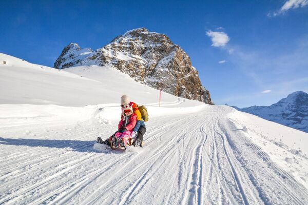
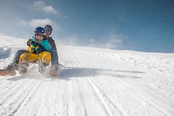
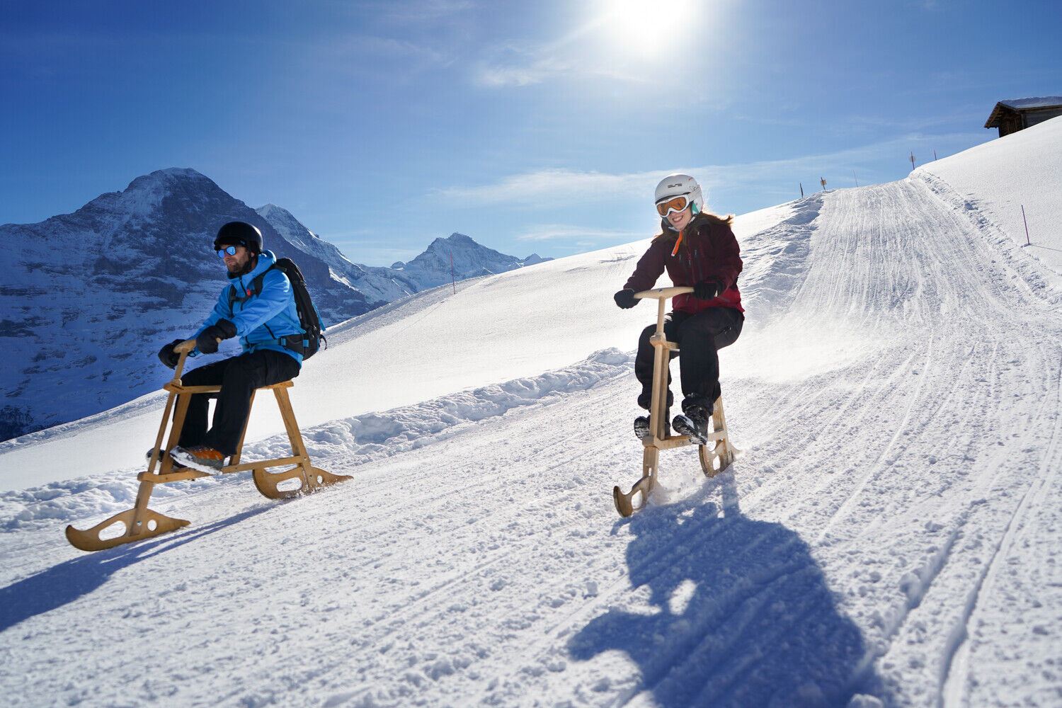
The leisurely toboggan run
- Difficulty
-
easy
- Rating
-
- Starting point
-
Bussalp (1800 m.a.s.l.)
- Route
-
Bergrestaurant BussalpBussalp0.0 kmRasthysi3.1 km
- Best season
-
AugSepOctNovDecJanFebMarAprMayJunJul
- Description
-
First of all, one of the yellow buses from Grindelwald Bus takes you from the village towards Bussalp. On the way to Bussalp the bus driver explains what to look out for when sledging.
The Family Run first leads from Bussalp on the road towards Holzmattenläger. At Holzmattenläger it is first slightly uphill on foot and then alternately downhill and uphill on the sledge towards Rasthysi. Arrived at Rathysi, the fun descent towards Lochsteinen follows. On the Family Run from Holzmattenläger to Lochsteinen there are no buses and you can enjoy the peace and nature to the full. You are always rewarded by the magnificent view of the surrounding mountain world of the Grindelwald Valley.
At Lochsteinen you can either take the bus back up to Bussalp or toboggan down the City-Run even further towards Weidli. Depending on the snow situation you can even get back to the village.
Click here for the status of the sledging trails.
- Directions
-
Bussalp - Holzmattenläger - Rasthysi - Lochsteinen (continue along the City-Run toboggan run to Weidli/Grindelwald)
- Highest point
- 1,793 m
- Endpoint
-
Lochsteinen (1425 m.a.s.l.)
- Height profile
-
 © outdooractive.com
 - Equipment
-
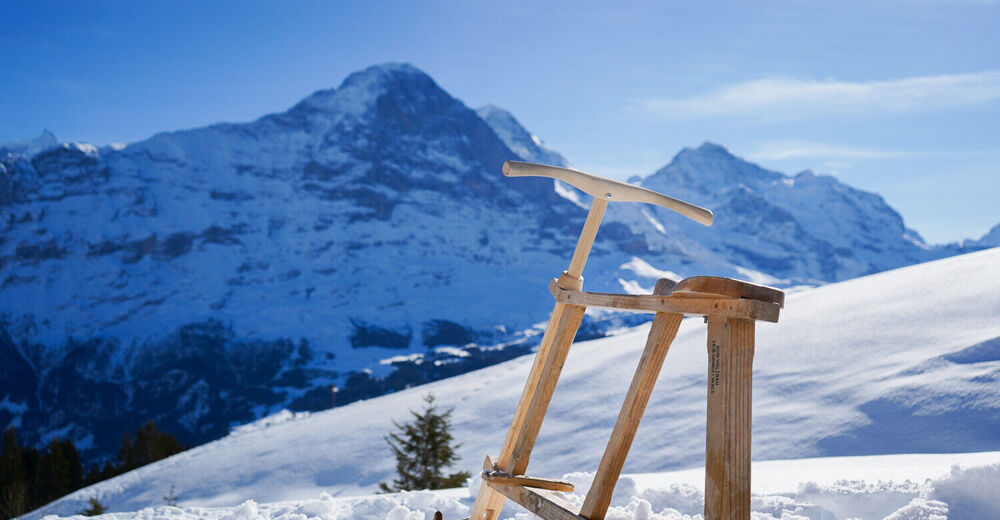
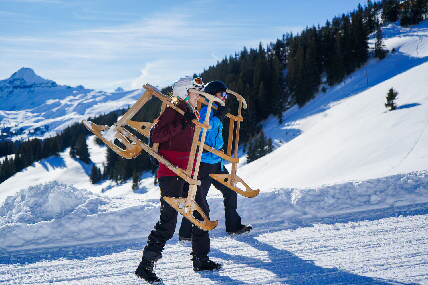
Sled or toboggan
Ski helmetday
hiking backpack (approx. 20 liters) with rain cover
comfortable and waterproof winter shoes or sturdy hiking boots (if necessary dredges and gaiters)
hat/headband, scarf
waterproof glovessun and rain protection
Provisions and drinking water, thermos bottle with hot drink
first aid kit
pocket knife
Cell phone
if necessary headlamp and reflectors
Map material - Safety instructions
-
The 10 rules of sledging
Show consideration for others Adapt speed and driving style to ability Respect the lane of the vehicle in front Overtake with distance Look up before entering and approaching the road Stop at the edge Get on and off at the edge Observe signs and markings Provide assistance In the event of an accident: give personal details - Tips
-
Buy a day ticket for sledging
Insider tip: Night sledging with fondue in the mountain restaurant Bussalp
Family snow park on Bussalp - Additional information
- Directions
-
From Basel and Geneva, the fastest route to the Jungfrau Region is via Bern. From Zurich, the route via Lucerne and the Brünig Pass is recommended. The pass is open all year round.
From the south, travel to the Jungfrau Region via the Grimsel or Susten Pass. Both passes are only open in summer. An alternative is the Simplon Pass with subsequent car transport through the Lötschberg tunnel.
Grindelwald
From Interlaken we follow the main road to Zweilütschinen. Here we turn left towards Grindelwald. The whole trip takes about 30 minutes and leads over a partly winding road.
- Public transportation
-
Thanks to its central location in Europe, Switzerland is served by international trains from over 12 countries. Within Switzerland, Intercity trains run from Basel and Lucerne directly to the Jungfrau Region. Travellers from Zurich change trains in Bern. The trains run every half hour.
Grindelwald
From Interlaken Ost railway station we reach Grindelwald without changing trains on the Bernese Oberland Bahn (BOB). Important: Get on the rear part of the train, as it splits in Zweilütschinen. If you get on at the front, you will end up in Lauterbrunnen. The journey takes 30 minutes to Grindelwald Terminal (V-Bahn). Three minutes later we are at the terminal in the village.
There are three stations in Grindelwald (Terminal, Grund and Dorf). The terminal station (Dorf) is in the centre of Grindelwald.
- Parking
-
Grindelwald
There are three public car parks: Parkhaus Eiger+ (252 parking spaces), Parkhaus Sportzentrum (160 parking spaces) and the new Terminal Parking (1000 spaces) of the V-Bahn. Alternatively, we can also use the car park in Grindelwald Grund.

- Author
-
The tour «Family Run»: Bussalp - Rasthysi - Lochsteinen (No. 56) is used by outdooractive.com provided.
")

")