

- Brief description
-
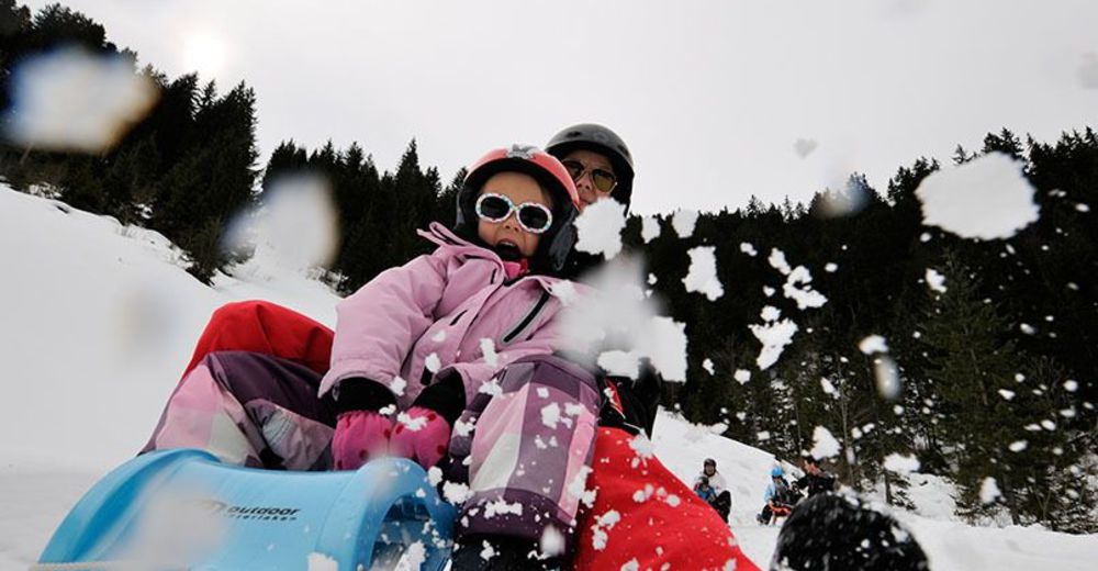
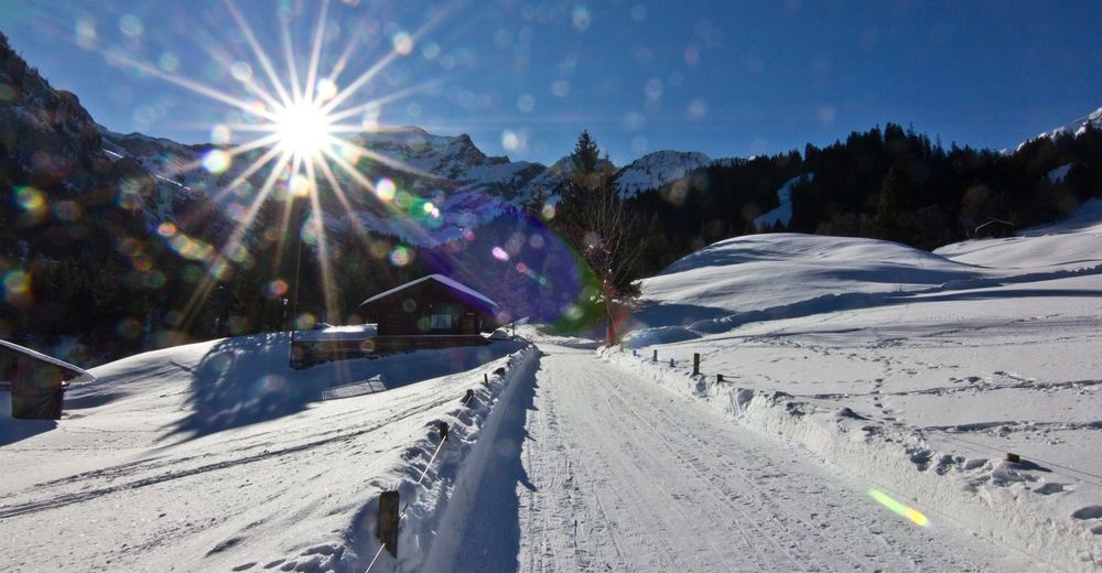
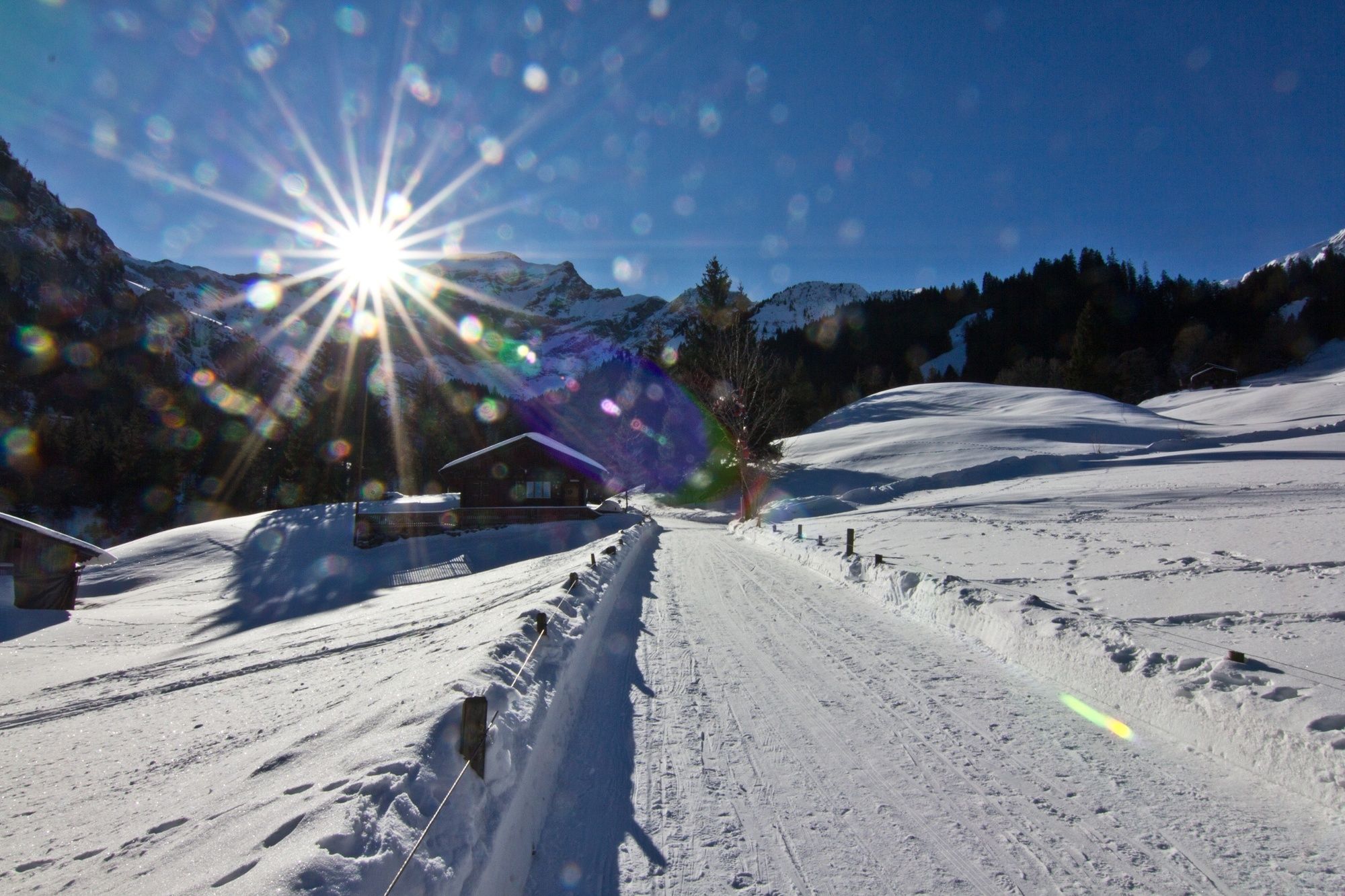
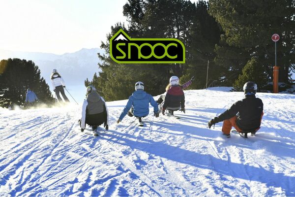
Fast and furious sledging run in the wild and romantic Saxettal valley, surrounded by the Schwalmere, Bällehöchst and Morgenberghorn peaks. Family-friendly by day and romantic by night, this route promises exhilarating sledging fun.
- Difficulty
-
easy
- Rating
-
- Starting point
-
Alp Nessleren
- Route
-
Saxeten (1,101 m)Skpintli0.4 kmInnerfeld0.5 km
- Best season
-
AugSepOctNovDecJanFebMarAprMayJunJul
- Description
-
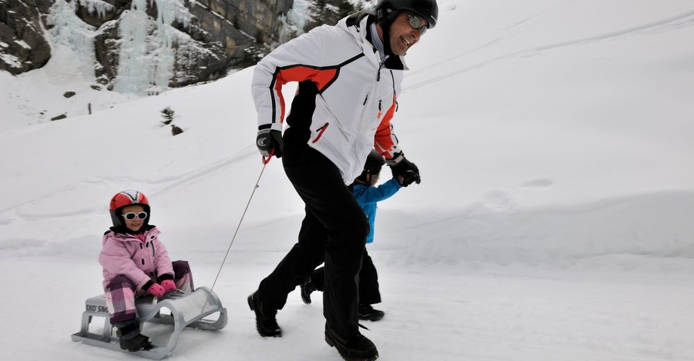
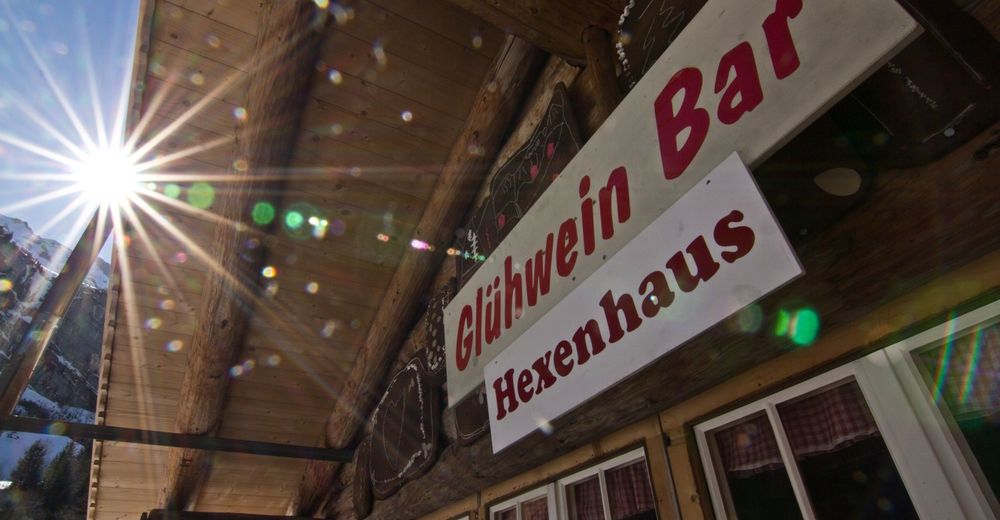
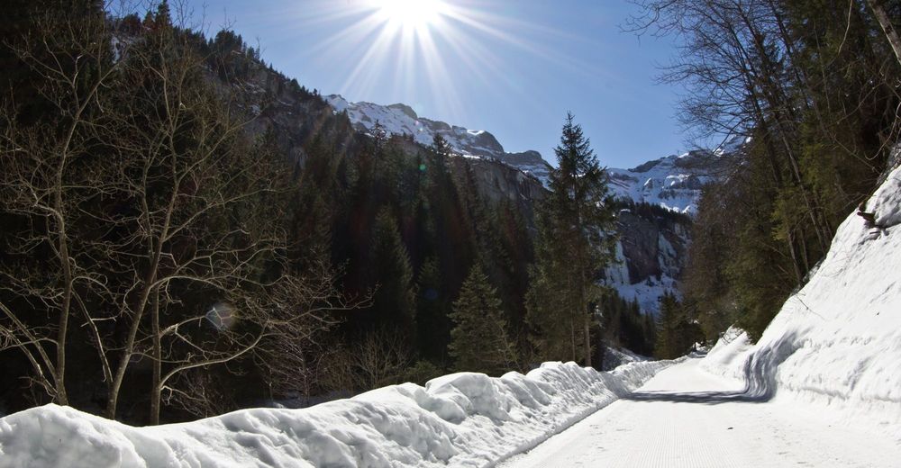
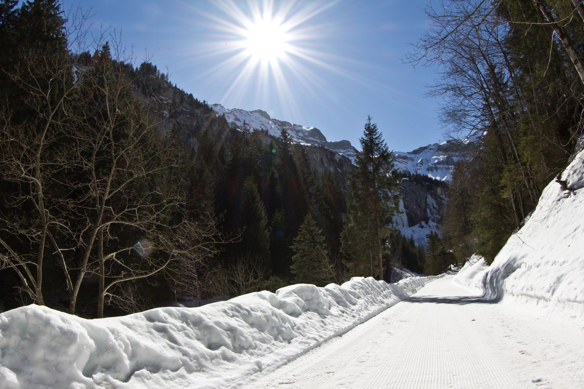
At the rear of the Saxettal valley lies Alp Nessleren, the summer grazing pasture of the region’s cattle. This funnel-type high valley is also an expansive catchment area for the spring water that provides Interlaken’s water supply. Alp Nessleren is reached after an hour-long ascent on foot from the Skipintli Restaurant in Saxeten. The winding descent takes toboggan riders past mostly frozen waterfalls and through mixed forests to the ‘Glühweinbar’ at Balmer’s Hexenhäuschen in Chalberboden, an opportunity to enjoy refreshments and warm up again. From here, you can either undertake the ascent again on foot or continue your ride through the snow-covered winter landscape to the end point of the run at the Pintli Restaurant in Saxeten.
- Directions
-
Saxeten - Alp Nessleren - Saxeten
The route is signposted as follows: A large signposting board at the Pintli Restaurant gives directions to the Nessleren toboggan run.
- Highest point
- 1,453 m
- Endpoint
-
Saxeten
- Height profile
-
 © outdooractive.com
 - Equipment
-
Toboggans can be rented locally at the Pintli Restaurant.
- Additional information
- Directions
-
Saxeten is accessible by private car on well maintained cantonal roads.
- Public transportation
-
Saxeten is accessible by Postauto from Wilderswil.
- Parking
-
A large parking lot is available free of charge at the restaurant Pintli.


- Author
-
The tour Sledging run Saxeten is used by outdooractive.com provided.


General info
-
Oberwallis
95
-
Interlaken
54
-
Saxeten
24


")