- Brief description
-
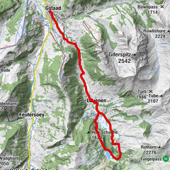
A big loop to the south. 2 batteries necessary.
- Difficulty
-
difficult
- Rating
-
- Starting point
-
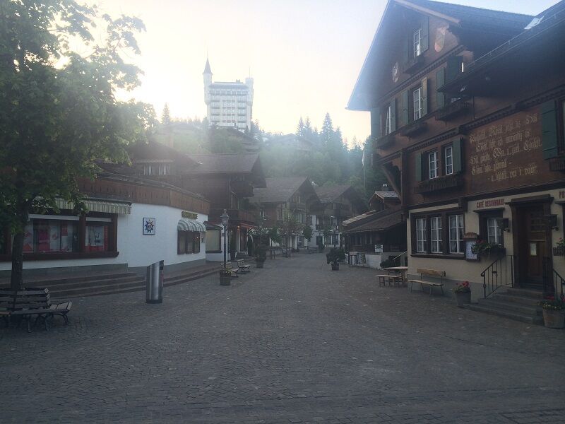
Gstaad, railway station
- Route
-
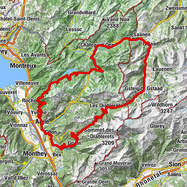
Gstaad (1,049 m)Pizerria Victoria0.0 kmChesery7.0 kmFeutersoey7.4 kmGasthaus Rössli7.6 kmSanetsch10.9 kmGsteig b. Gstaad (1,184 m)11.0 kmBären11.0 kmHeiti11.9 kmRestaurant du Col du Pillon17.9 kmLes Diablerets (1,163 m)22.2 kmCol de la Croix (1,776 m)31.0 kmCol de la Croix (1,732 m)31.3 kmBuvette de la Verneyre35.0 kmVillars-sur-Ollon39.2 kmVillars-sur-Ollon (1,252 m)39.4 kmPlace de jeux de Villars39.6 kmArveyes40.3 kmArveyes (1,231 m)40.5 kmLa Terrasse42.2 kmBarboleusaz (1,210 m)42.3 kmGryon (1,114 m)43.4 kmBuffet de la Gare43.5 kmChapelle catholique43.6 kmGryon (1,131 m)43.6 kmCafé des Alpes43.8 kmÉglise réformée - paroisse des Avançons44.0 kmLes Posses-Dessous45.8 kmLes Posses-sur-Bex46.1 kmLes Posses-Dessus46.3 kmEn Champ Béné47.0 kmFenalet-sur-Bex49.4 kmLes Dévens52.1 kmVilly54.9 kmOlun (478 m)56.4 kmSaint-Triphon57.9 kmLa Condémine58.1 kmL'Usine Aigle59.7 kmLa Chapelle60.2 kmAigle (415 m)61.0 kmLa Fontaine61.3 kmAuberge de la Couronne62.6 kmLes Maisons Neuves62.7 kmYvorne (454 m)63.0 kmLe Torrent63.0 kmLa Grappe63.1 kmLes Rennauds63.2 kmLe Clos du Rocher63.4 kmChâteau Maison Blanche63.5 kmVers Morey63.9 kmVers-Chenaux64.6 kmLe Quart d'Heure Vaudois68.9 kmCorbeyrier (920 m)69.0 kmLuan71.6 kmCafé de Luan72.1 kmLa Lécherette94.0 kmL'Étivaz98.1 kmChâteau-d'Oex105.9 kmLes Bossons106.5 kmChateau-d'Oex La Palaz (980 m)107.1 kmLes Granges-Gérignoz (1,003 m)107.9 kmRestolesgranges108.0 kmLes Granges108.1 kmGérignoz108.9 kmSaint-Nicolas112.8 kmValrose113.1 kmRougemont113.3 kmSaanen (1,014 m)117.6 kmSaanen (1,010 m)117.8 kmEGW Evang. Gemeinschaftswerk120.3 kmGstaad (1,049 m)120.7 kmPizerria Victoria120.7 km
- Best season
-
JanFebMarAprMayJunJulAugSepOctNovDec
- Description
-
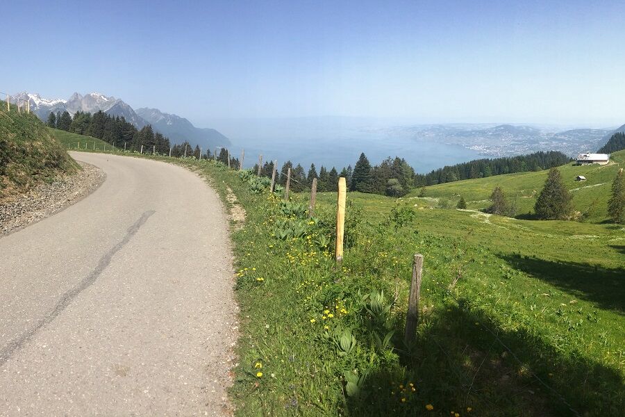
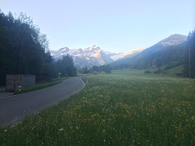
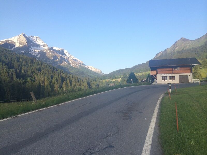
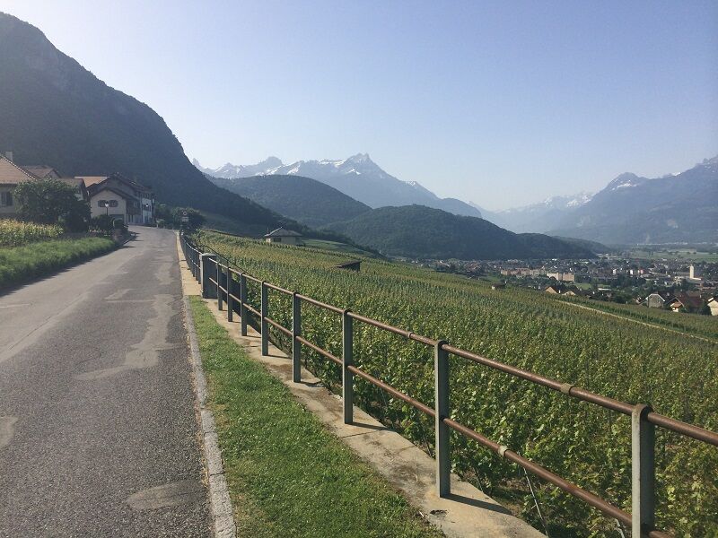
The Col du Pillon and the Col de la Croix are the two known passes that were already on the road map of the Tour de Suisse and Tour de Romandie. The little-known ascent of Yvorne to Lac Hongrin (12 km, 1100 hm) is a challenge.
http://www.strava.com/routes/1147815 - Directions
-
Gstaad - Col du Pillon - Col de la Croix - Bex - Aigle - Corbeyrier - La Lécherette - Château-d'Oex - Gstaad
- Highest point
- 1,773 m
- Endpoint
-
Gstaad, railway station
- Height profile
-
 © outdooractive.com
 - Equipment
-
Clothing and equipment appropriate to the weather, tool kit and first aid kit.
- Additional information
- Directions
-
The Destination Gstaad is located in the south-west of Switzerland right on the border to the French-speaking part of the country. The Destination is easily accessed by rail or car from the regions around Lake Thun and Lake Geneva and the Gruyere region Direct connections to the European high-speed rail network and all international airports in Switzerland guarantee a time-saving and pleasant journey.
- Public transportation
-
Gstaad station
- Parking
-
Various parking spaces and car parks are available in Gstaad.


-

-
AuthorThe tour Tour de la reine sud is used by outdooractive.com provided.
GPS Downloads


General info
Refreshment stop
A lot of view
Other tours in the regions