- Difficulty
-
easy
- Rating
-
- Starting point
-
Saanen, railway station
- Route
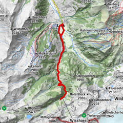
-
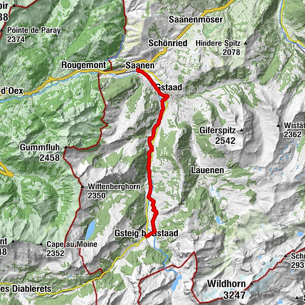
Saanen (1,010 m)Gstaad (1,050 m)2.9 kmChesery9.7 kmFeutersoey10.1 kmGasthaus Rössli10.3 kmGsteig b. Gstaad (1,184 m)14.8 kmBären14.8 km
- Best season
-
JanFebMarAprMayJunJulAugSepOctNovDec
- Description
-
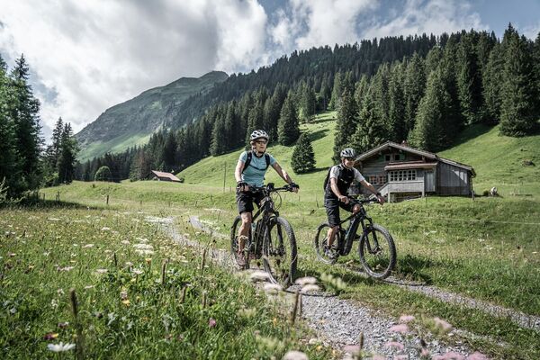
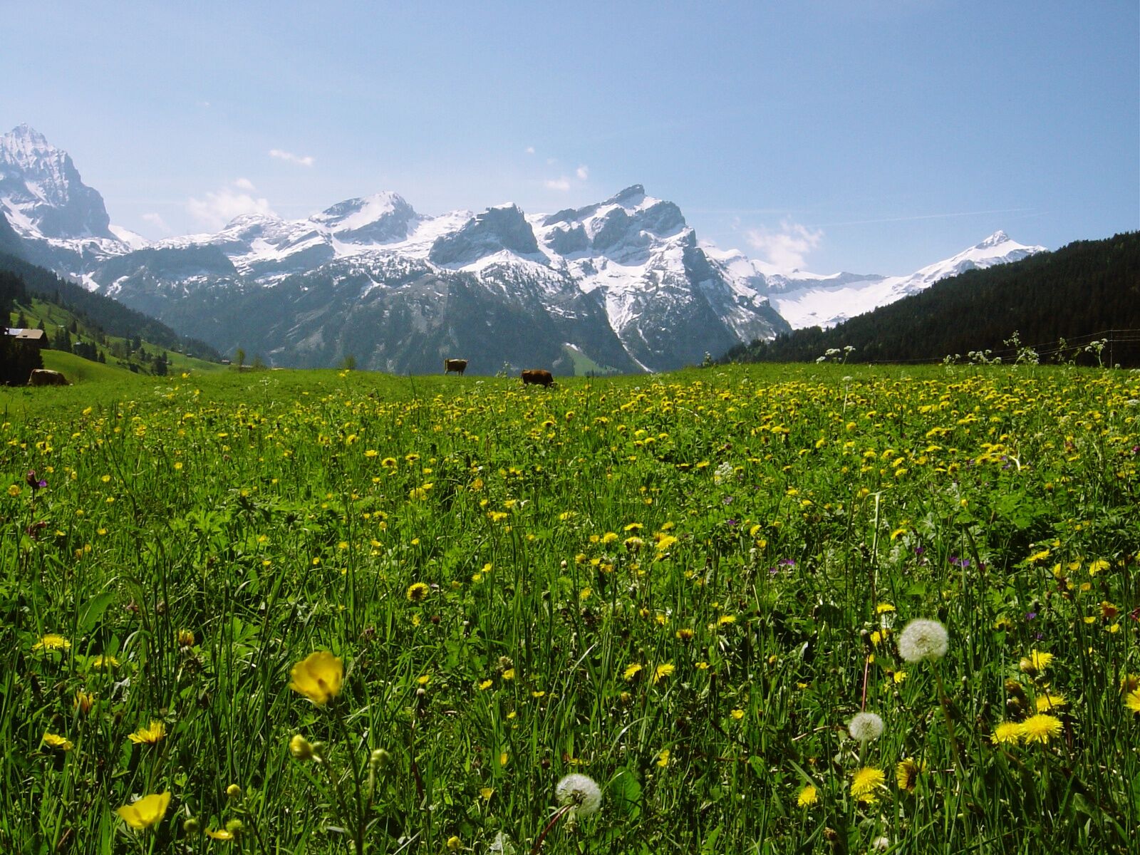
An easy e-bike tour mostly on narrow asphalt roads leads from Saanen via Gstaad to Feutersoey and Gsteig. In between there are alternatively some dirt road parts along the river Saane to ride. From Feutersoey a short intermediate climb up to Saali and down to Gsteig opens the view to the main Alpine summits. Ride back on the same route or take the bus. (Reservation required)
- Directions
-
Saanen - Gstaad - Feutersoey - Gsteig
- Highest point
- 1,251 m
- Endpoint
-
Gsteig
- Height profile
-
 © outdooractive.com
 - Equipment
-
Clothing and equipment appropriate to the weather, tool kit and first aid kit.
- Additional information
- Directions
-
The Destination Gstaad is located in the south-west of Switzerland right on the border to the French-speaking part of the country. The Destination is easily accessed by rail or car from the regions around Lake Thun and Lake Geneva and the Gruyere region Direct connections to the European high-speed rail network and all international airports in Switzerland guarantee a time-saving and pleasant journey.
- Public transportation
-
Saanen train station
- Parking
-
There are several parking facilities in the village of Saanen:
Parking Zentrum, Bahnhofplatz, Märetplatz, Pfrundmätteli or Floraplatz.
-

-
AuthorThe tour Saanen - Gstaad - Feutersoey - Gsteig is used by outdooractive.com provided.
GPS Downloads


General info
Refreshment stop
Other tours in the regions
-
Thyon les Collons
107
-
Destination Gstaad
88
-
Gstaad
30