


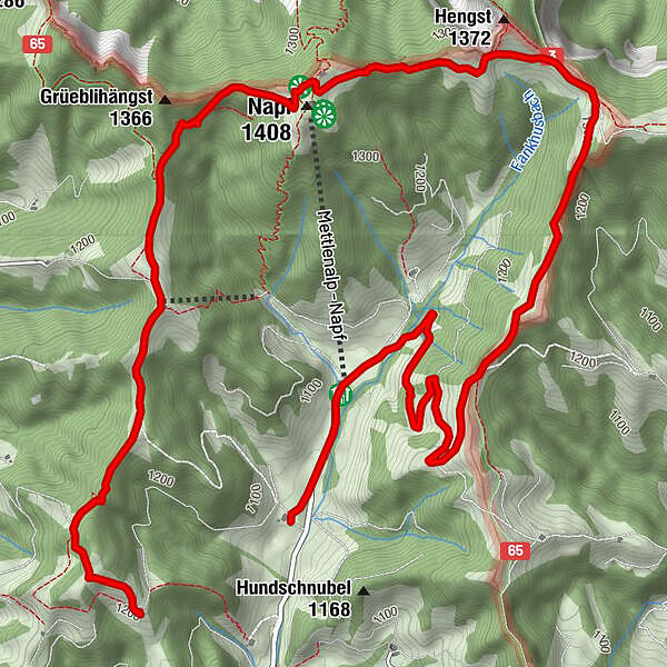
Tour data
8.09km
1,040
- 1,400m
410hm
228hm
01:00h
- Brief description
-
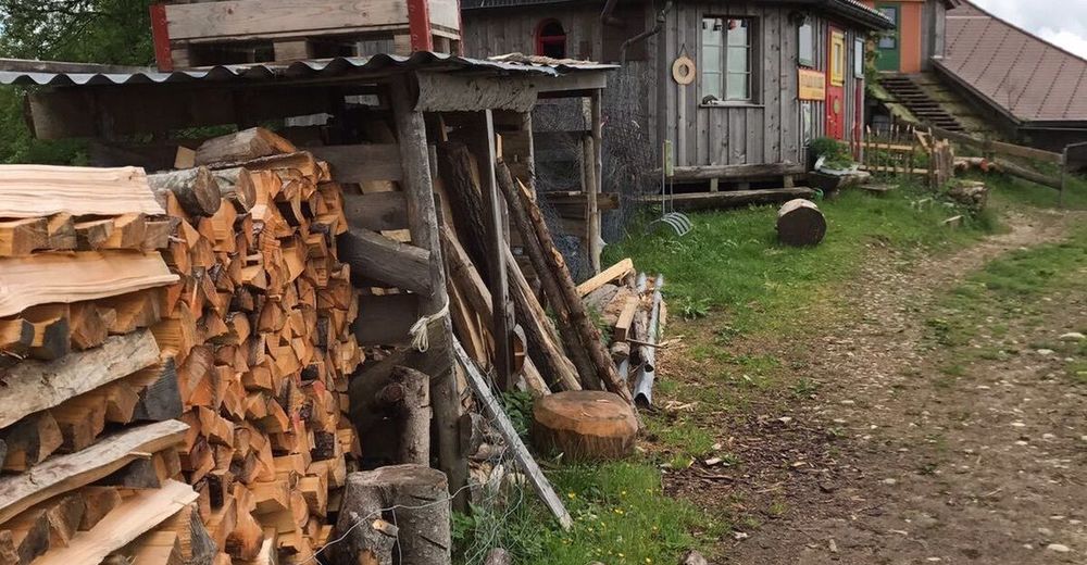
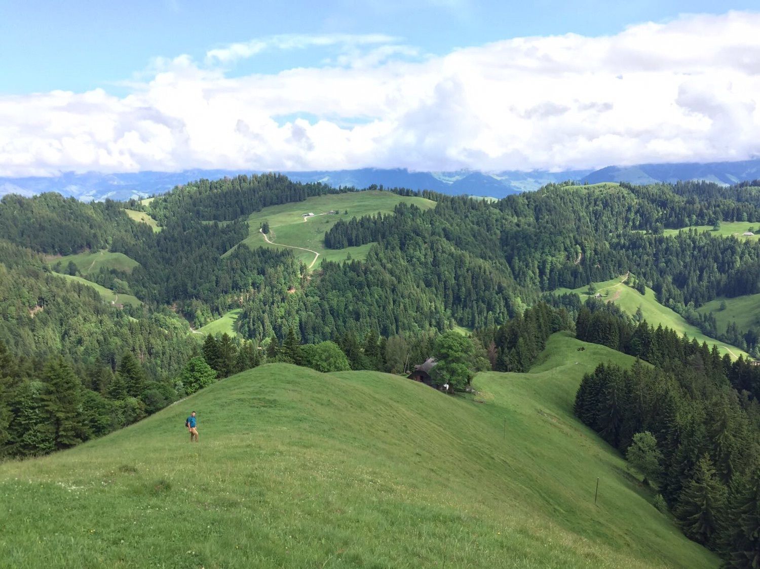
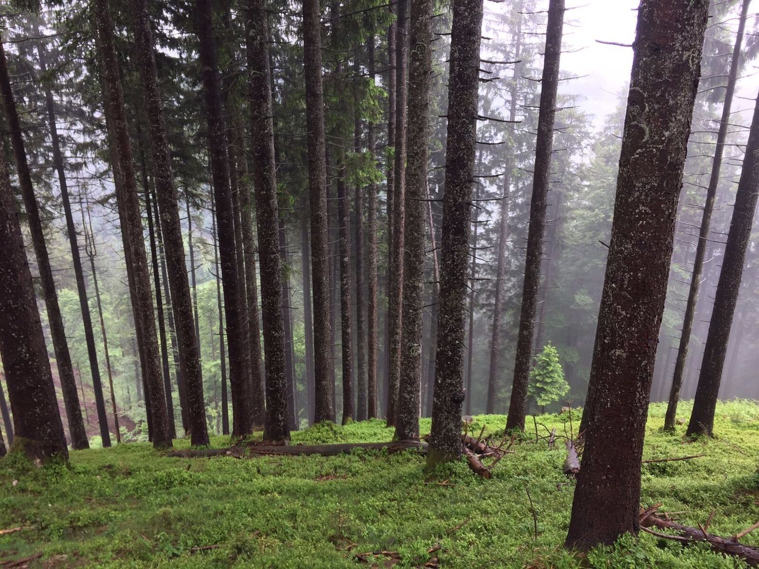
Steiler Anstieg, aber fahrbar - technische Stellen die Spass machen. Meine Lieblingstour
- Difficulty
-
medium
- Rating
-
- Route
-
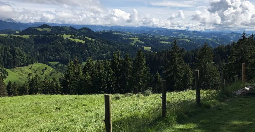
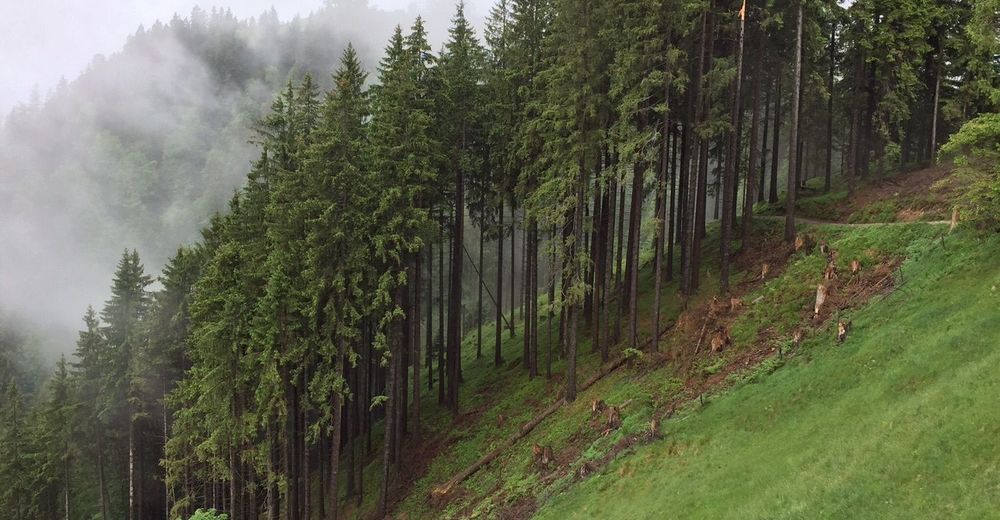
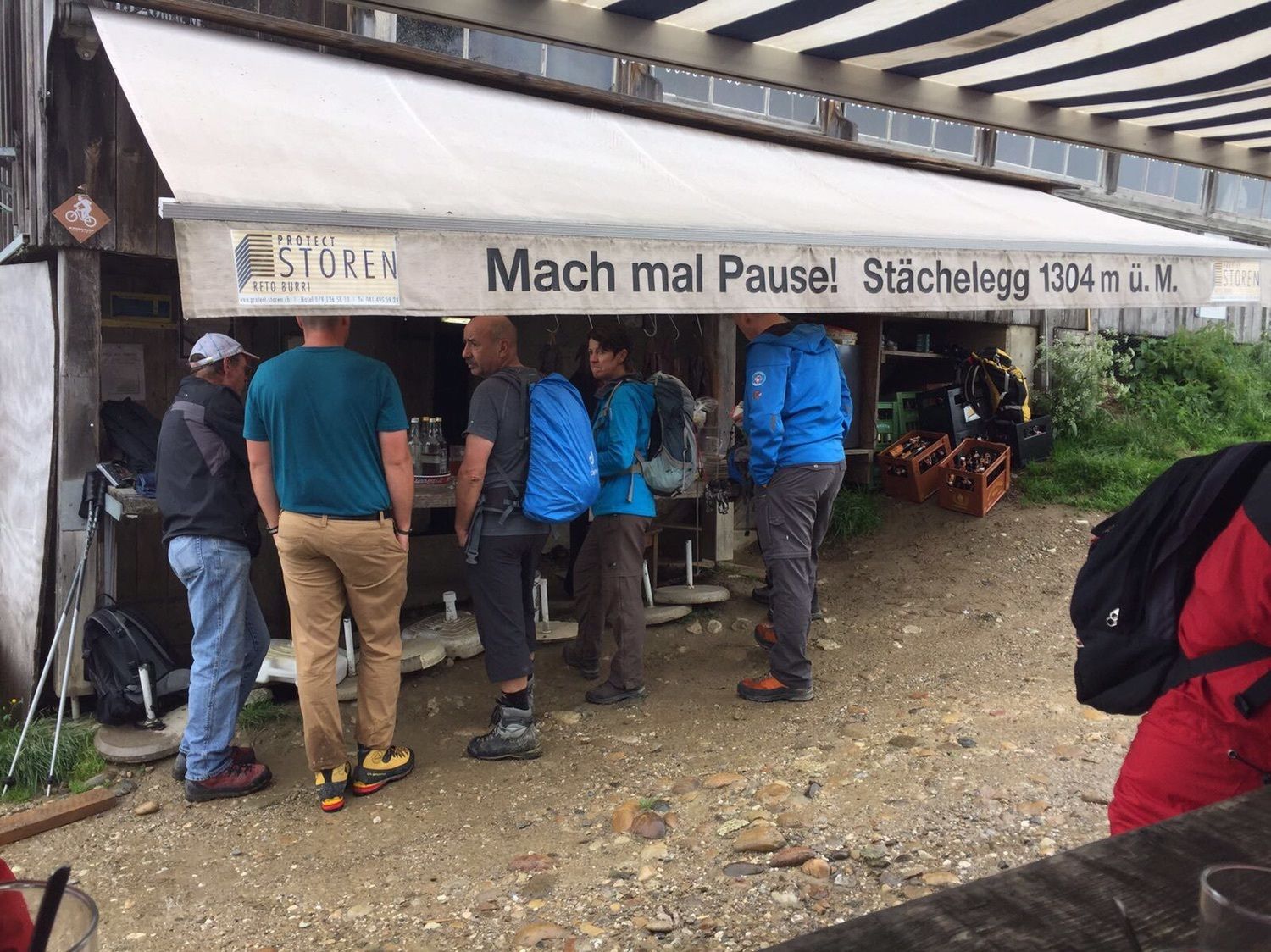
Mettlenalp0.5 kmGruppenunterkunft Mettlenalp0.5 kmHinter Mettlen0.5 kmStächelegg4.0 kmNapf (1,408 m)5.2 kmGrüeblihängst (1,366 m)5.8 km
- Highest point
- 1,400 m
GPS Downloads


Other tours in the regions
-
Obwalden
166
-
UNESCO Biosphäre Entlebuch
43
-
Luthern
6