- Brief description
-
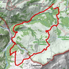
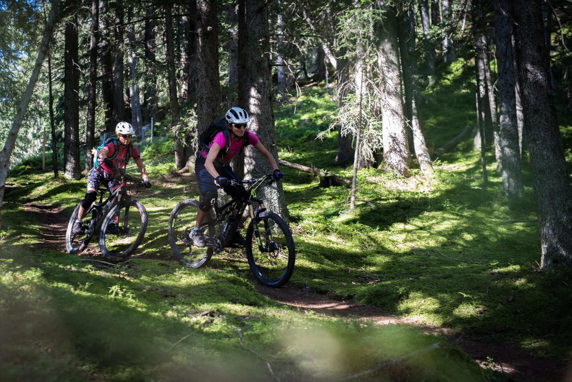
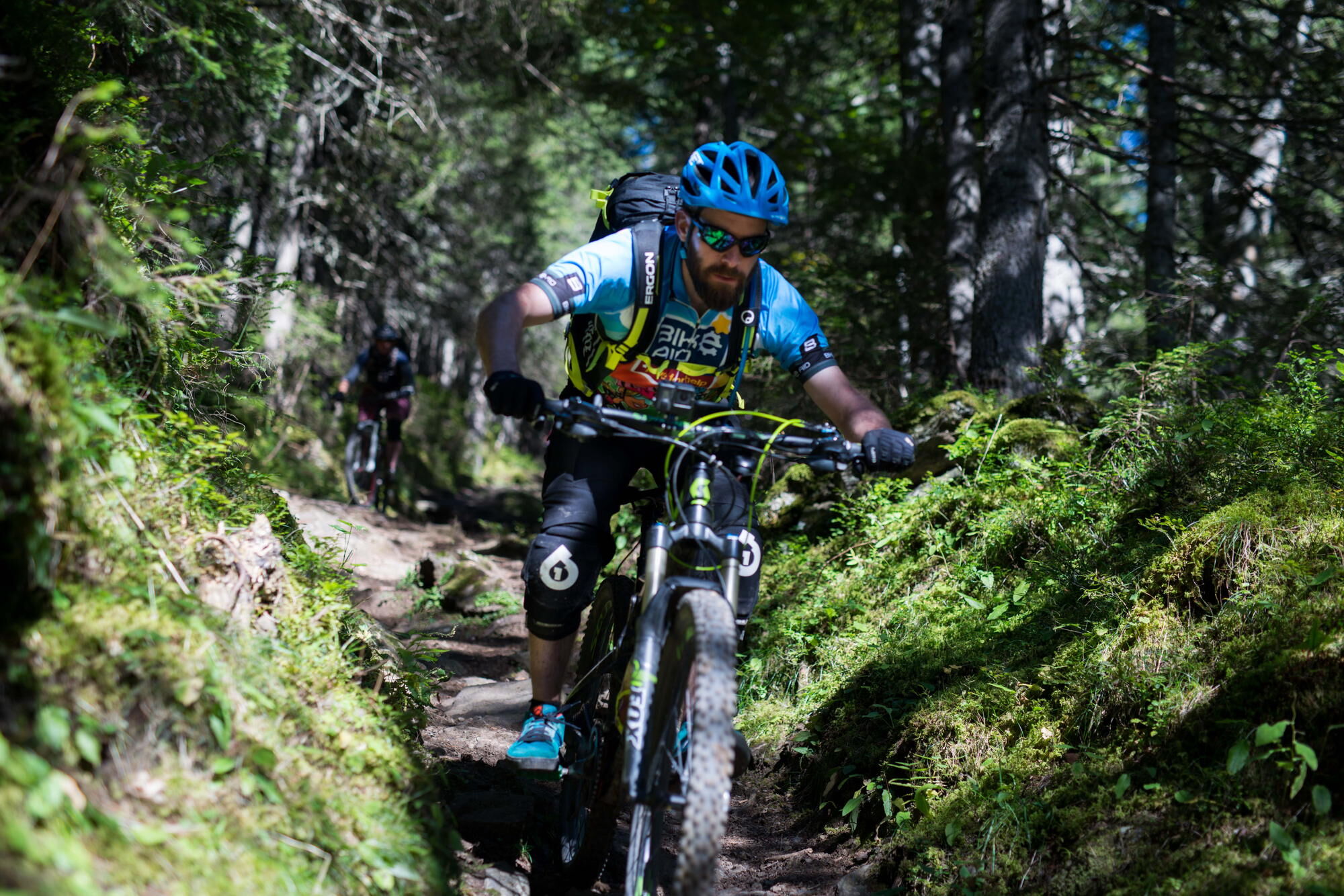
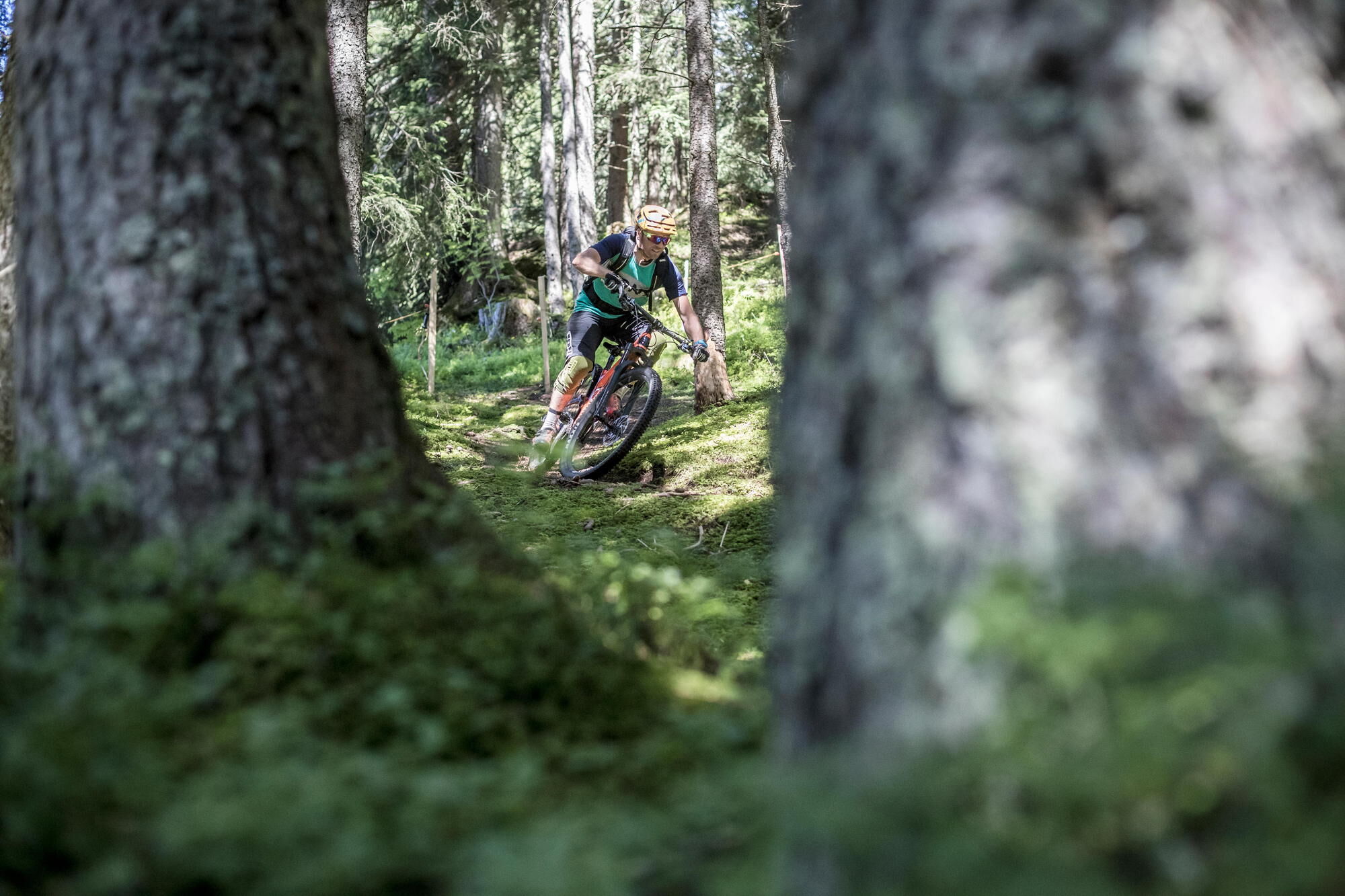
A scenic loop with a diverse descent.
- Difficulty
-
difficult
- Rating
-
- Starting point
-
Grindelwald train station
- Route
-
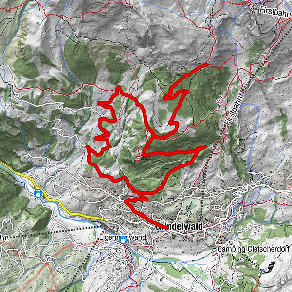
GrindelwaldGrindelwald0.1 kmSwiss Alp Resort0.2 kmTuftbach0.9 kmRasthysi6.1 kmBerggasthaus Waldspitz10.2 kmNodhalten12.6 kmTuftbach17.1 kmSwiss Alp Resort17.8 kmGrindelwald18.0 km
- Best season
-
JanFebMarAprMayJunJulAugSepOctNovDec
- Description
-
From Grindelwald the asphalt road winds up towards Bussalp. At the Lochsteinen junction turn right towards Rasthysi. Pass the Rasthysi and continue uphill towards Holenwang until you reach the Waldspitz. The last meters to the Waldspitz mountain restaurant are no longer asphalted. With a cool drink you can enjoy the Grindelwald mountains on the terrace of the Waldspitz mountain restaurant. After refreshment you return to the valley on the road, hiking trail and single trail via Aellfluh.
- Directions
-
Grindelwald - Lochsteinen - Rasthysi - Holewang- Nodhalten - Waldspitz - Aellfluh - Grindelwald
- Highest point
- 1,896 m
- Endpoint
-
Grindelwald train station
- Height profile
-
 © outdooractive.com
 - Equipment
-
(E-) mountainbike, well maintained
Helmet, gloves, cycling glasses & bell
Elbow & knee pads
Mountain bike shoes
Weather appropriate & durable clothing
Day bike backpack
Drink & food
Repair Kit
First aid kit
Cell phone
Map - Safety instructions
-
Considerate and safe - Bike Codex
Wear protective equipment Evaluate your skills Give way to hikers Stay on the trail Close pasture fences - Tips
-
Sun terrace of restaurant Rasthysi
Sun terrace of restaurant Waldspitz
Après-Ride Drink at the Avocado Bar - Additional information
- Directions
-
From Basel and Geneva, the fastest route to the Jungfrau Region is via Bern. From Zurich, the route via Lucerne and the Brünig Pass is recommended. The pass is open all year round.
From the south, travel to the Jungfrau Region via the Grimsel or Susten Pass. Both passes are only open in summer. An alternative is the Simplon Pass with subsequent car transport through the Lötschberg tunnel.
Grindelwald
From Interlaken we follow the main road to Zweilütschinen. Here we turn left towards Grindelwald. The whole trip takes about 30 minutes and leads over a partly winding road.
- Public transportation
-
Thanks to its central location in Europe, Switzerland is served by international trains from over 12 countries. Within Switzerland, Intercity trains run from Basel and Lucerne directly to the Jungfrau Region. Travellers from Zurich change trains in Bern. The trains run every half hour.
Grindelwald
From Interlaken Ost railway station we reach Grindelwald without changing trains on the Bernese Oberland Bahn (BOB). Important: Get on the rear part of the train, as it splits in Zweilütschinen. If you get on at the front, you will end up in Lauterbrunnen. The journey takes 30 minutes to Grindelwald Terminal (V-Bahn). Three minutes later we are at the terminal in the village.
There are three stations in Grindelwald (Terminal, Grund and Dorf). The terminal station (Dorf) is in the centre of Grindelwald.
- Parking
-
Grindelwald
There are three public car parks: Parkhaus Eiger+ (252 parking spaces), Parkhaus Sportzentrum (160 parking spaces) and the new Terminal Parking (1000 spaces) of the V-Bahn. Alternatively, we can also use the car park in Grindelwald Grund.
- Author
-
The tour Waldspitz Loop is used by outdooractive.com provided.
Surfaces
General info
-
Aletsch Arena
129
-
Jungfrau Region
64
-
Grindelwald - First
18