- Brief description
-
Being bold is terrific. 3 kilometers, 600 meters change in altitude and a medium gradient of 20%.
- Difficulty
-
difficult
- Rating
-
- Starting point
-
Grütschalp
- Route
-
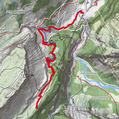
Grütschalp (1,481 m)Grütsch0.0 km
- Best season
-
JanFebMarAprMayJunJulAugSepOctNovDec
- Description
-
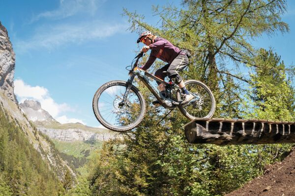
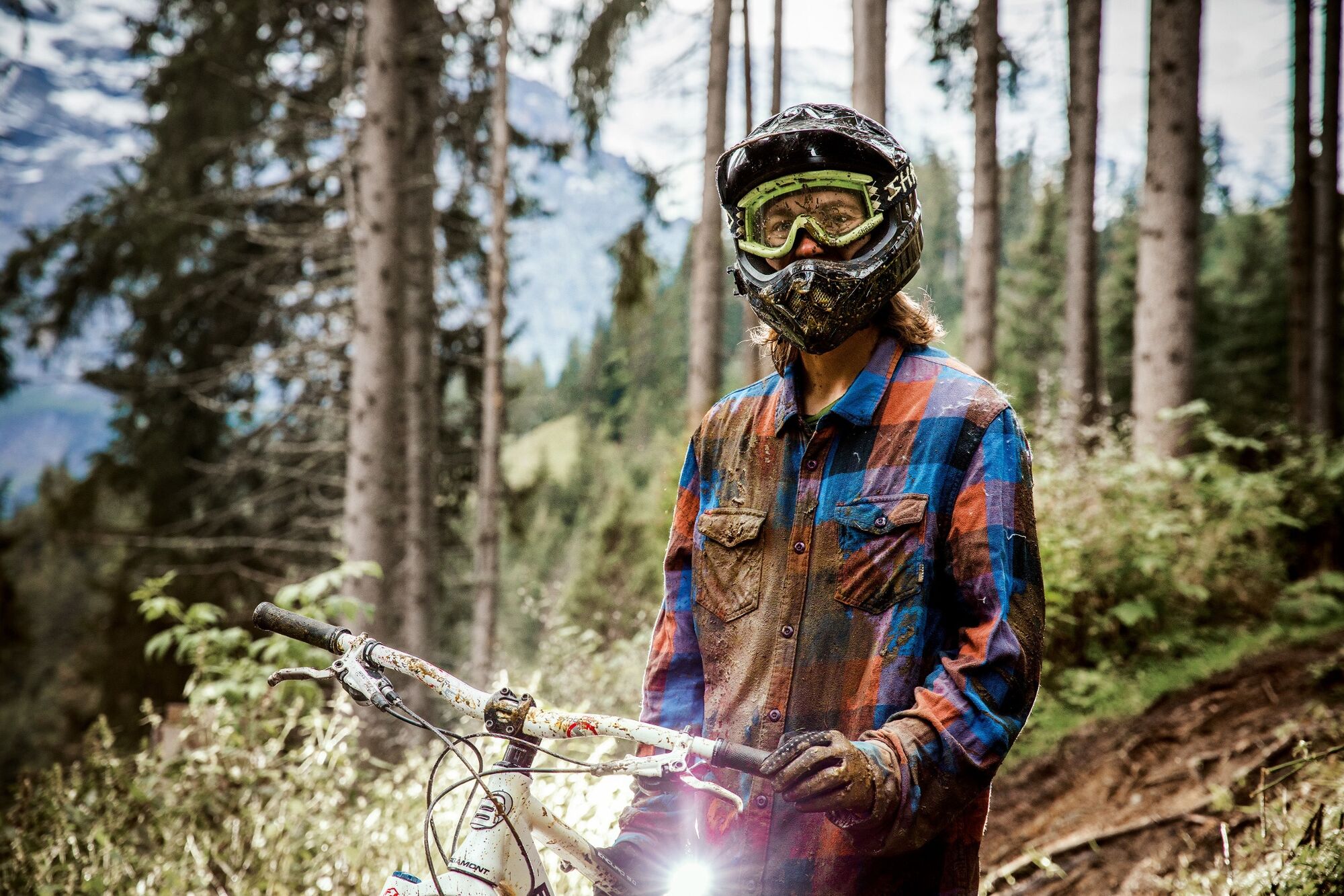
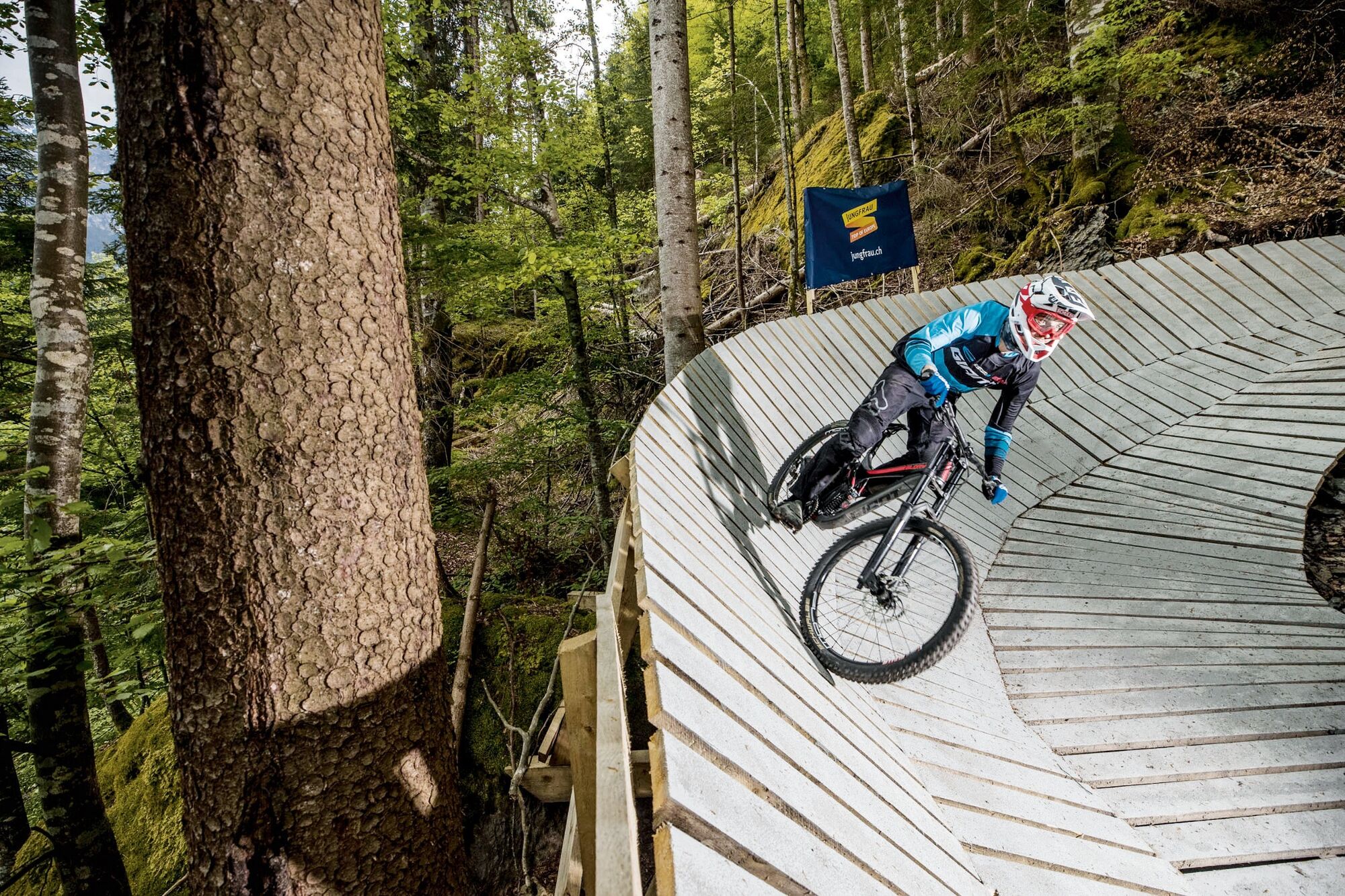
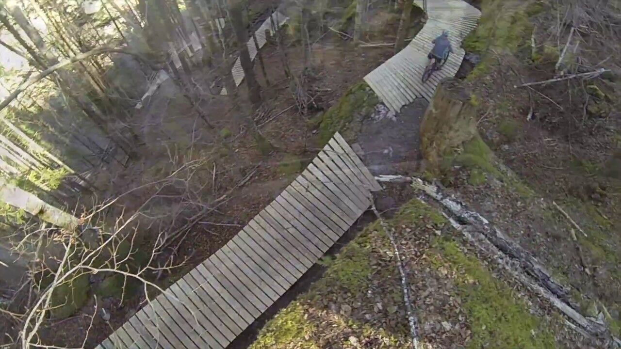
The Grütschtrail offers advanced bikers a real challenge. The ground is constantly changing. From dirt to stones, roots and North Shore elements - you’ll find everything that your biker heart desires.
The trail is steep, and the curves are tight. Nevertheless, the track is incredibly fluid. The word “Grütsch” in Swiss German means “big landslide” and that is exactly what the trail is like. The big boulders in the lower part of the track were quite a challenge for the shaping crew. Since blasting was not an option, the crew decided to build Northshore constructions over the stone piles.
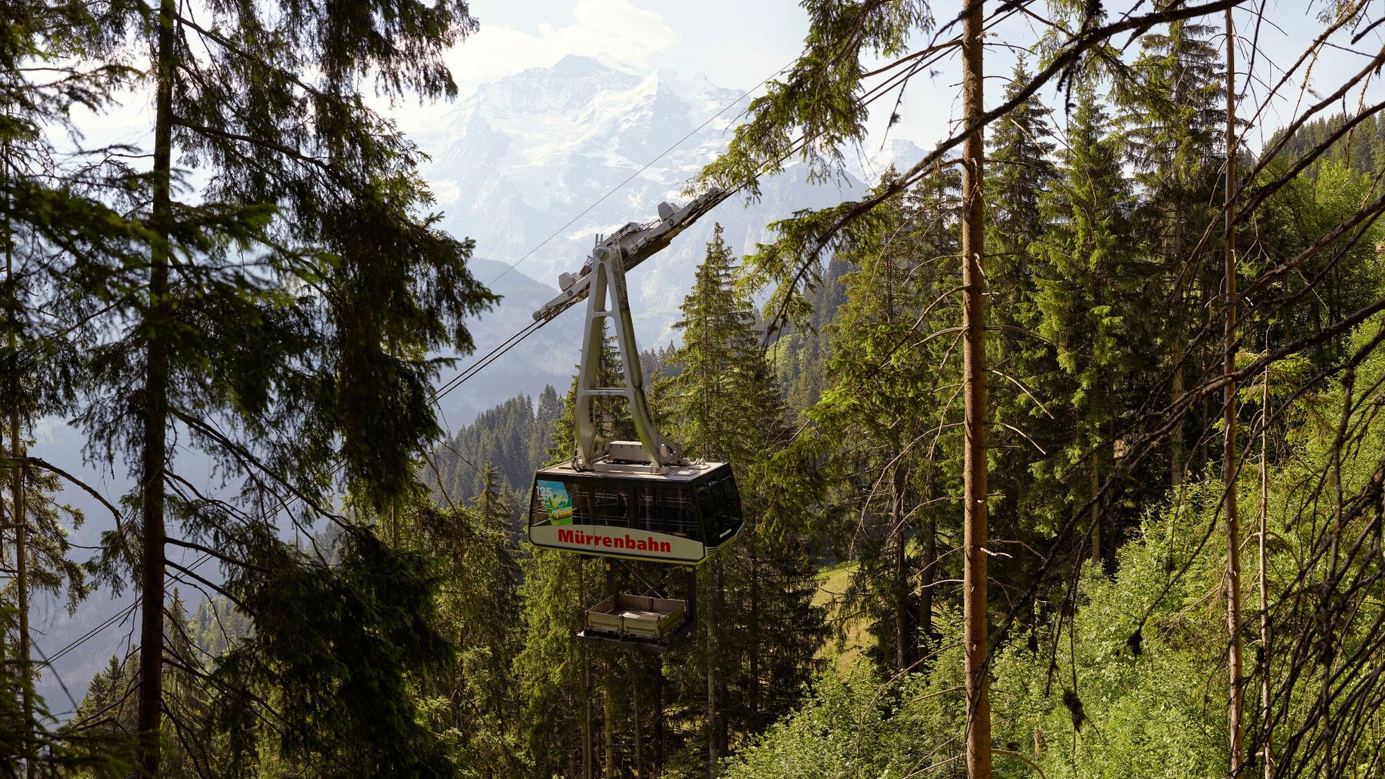
The gondola takes the bikers comfortably to the start on Grütschalp.
Those who get hungry or thirsty can sit down on one of the terraces at the base jumper pubs along the village road.
- Directions
-
Grütschalp - Lauterbrunnen
- Highest point
- 1,476 m
- Endpoint
-
Lauterbrunnen
- Height profile
-
 © outdooractive.com
 - Equipment
-
Mountain bike (well maintained)
Repair kit
First aid kit
Helmet, gloves and bike bell
Proper attire for the weather condition (It is recommended to always check the weather conditions the day prior to riding. We recommend to always bring a rain jacket)
Carry adequate supplies of food and water
Please observe the signs and guidelines for mountain bike riders online as well as on the path - Safety instructions
-
Wearing gloves, helmet and MTB/Bike protective gear is recommended.
Use only the marked paths and roads. Always follow the signs.
Always close gates and pasture fences behind you.
Respect hikers, plants and animals
Hikers always have priority
Assess your own abilities and your physical condition carefully before riding
Use of the unmarked routes are at your own risk. - Tips
-
Imboden Bike is the place to go if your bike is in need of a service or repairs.
- Additional information
- Directions
-
By car: There are different ways to reach the region by car. The fastest way from Basel and Geneva is via Berne. The fastest route from Zurich is through Lucerne and the Brünig Pass. The pass is open in summer and winter.
From the south, the route leads over the Grimsel or Susten Pass into the region. Both passes are only open in summer. Alternatively, you can take the route via Simplon Pass and then use Lötschberg car transport.
- Public transportation
-
Thanks to its central location in Europe, Switzerland is served by international trains from over 12 countries. Within Switzerland, Intercity trains run directly from Basel and Lucerne to the Jungfrau Region. Travellers from Zurich have to change in Berne. The trains run every half hour.
- Parking
-
In Lauterbrunnen, there is a covered car park, linked with the BLM cable car station. You may also drive to the Schilthornbahn station in Stechelberg where you will find a large number of parking spaces.
The Lauterbrunnen car park is located at the outskirts of the village, just before the train station. Parking spaces can be reserved for a minimum of 5 days (winter) online.
-

-
AuthorThe tour Grütsch Trail is used by outdooractive.com provided.


Surfaces
-
Aletsch Arena
129
-
Jungfrau Region
64
-
Lauterbrunnen
21