© Sonnenalp Resort • Spa • Golf - Sonnenalp Resort
Tour data
5.22km
870
- 1,149m
392hm
259hm
02:03h
- Brief description
-
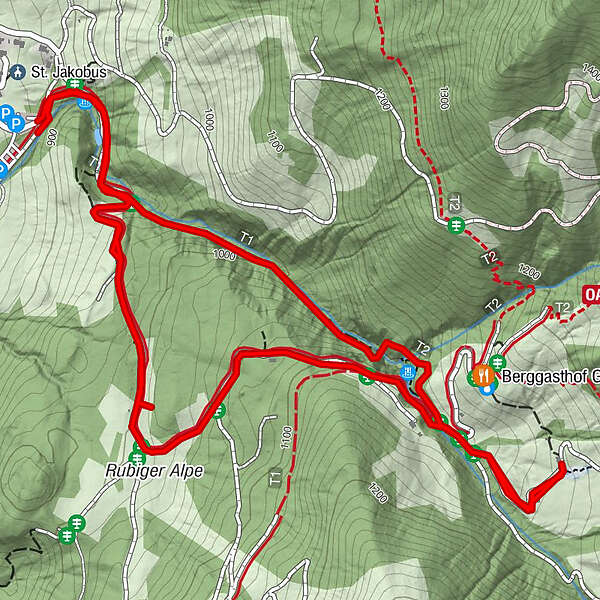
Am Gaisalpbach entlang wandert man auf Pfaden, Felsstufen und steilen Brücken zur Richteralpe bergauf. Bergab kann man die asphaltierte Straße nehmen.
- Difficulty
-
medium
- Rating
-
- Route
-
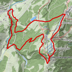
Reichenbach0.1 kmGaisalpkapelle2.4 kmReichenbach4.1 km
- Best season
-
JanFebMarAprMayJunJulAugSepOctNovDec
- Highest point
- 1,149 m
- Endpoint
-
Reichenbach
- Height profile
-
 © outdooractive.com
-

-
AuthorThe tour Gaisalptobel is used by outdooractive.com provided.
GPS Downloads


General info
Refreshment stop
A lot of view
Other tours in the regions
-
Allgäu
2357
-
Alpsee-Grünten
1694
-
Oberstdorf / Nebelhorn
440