Tour data
14.31km
762
- 1,238m
534hm
547hm
03:51h
- Brief description
-
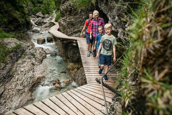
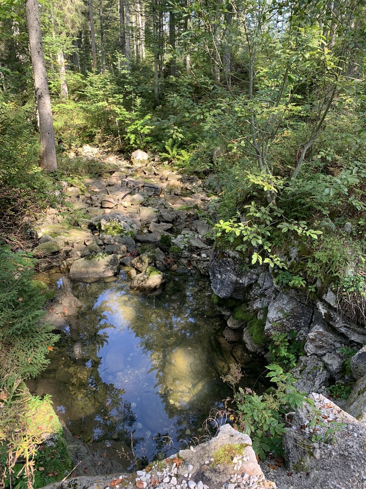
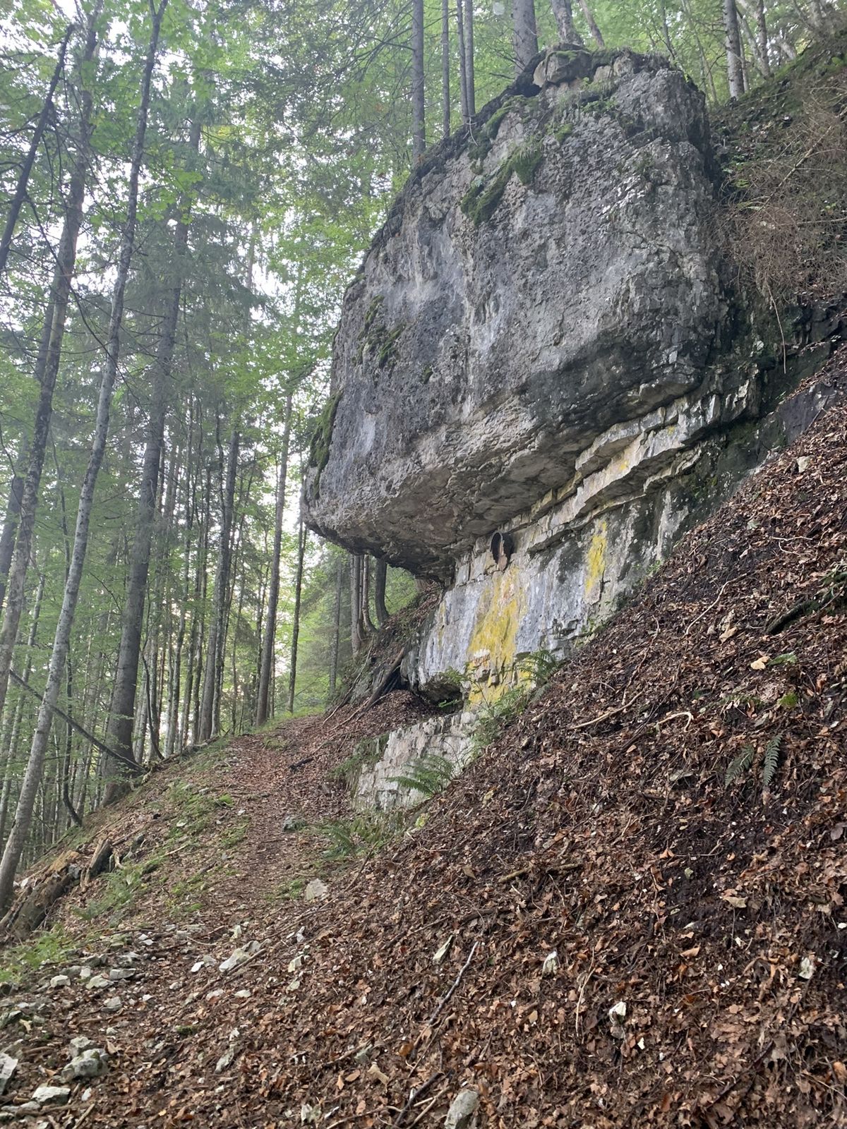
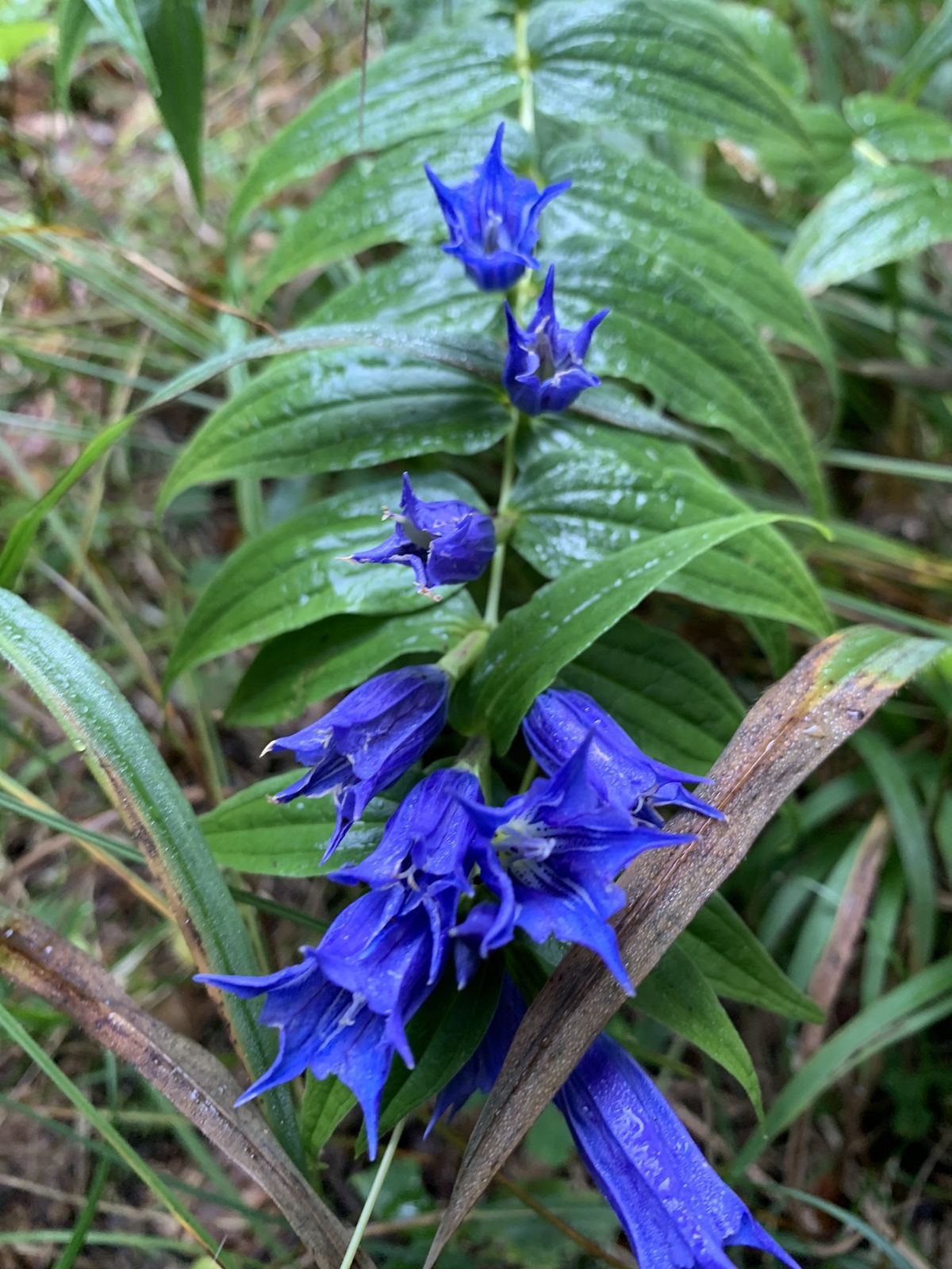
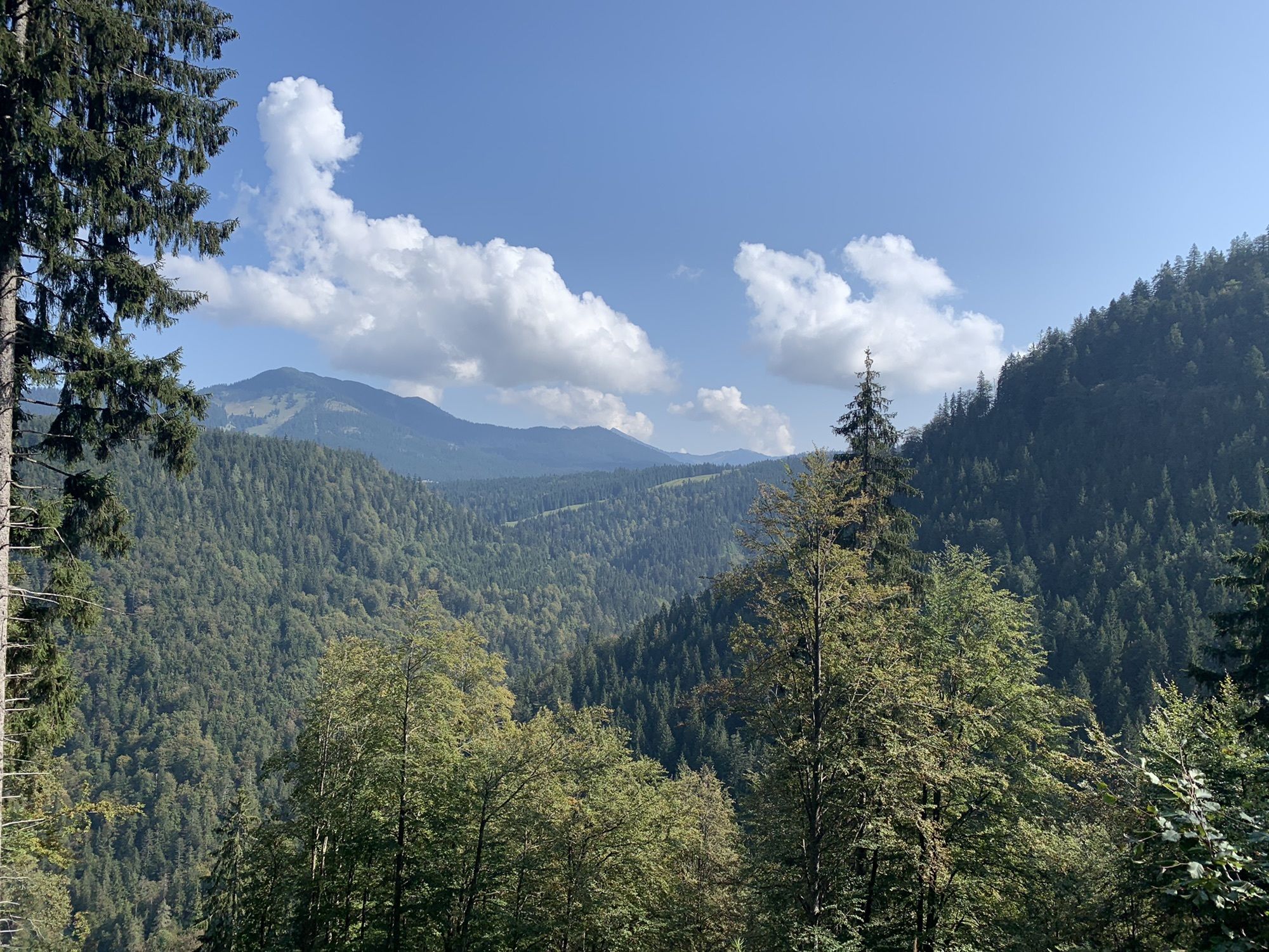
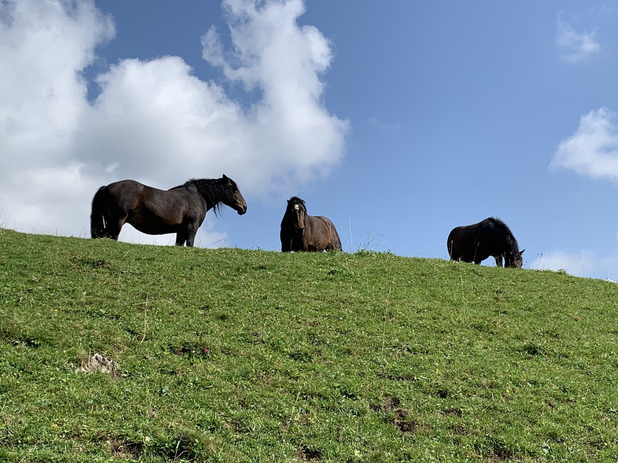
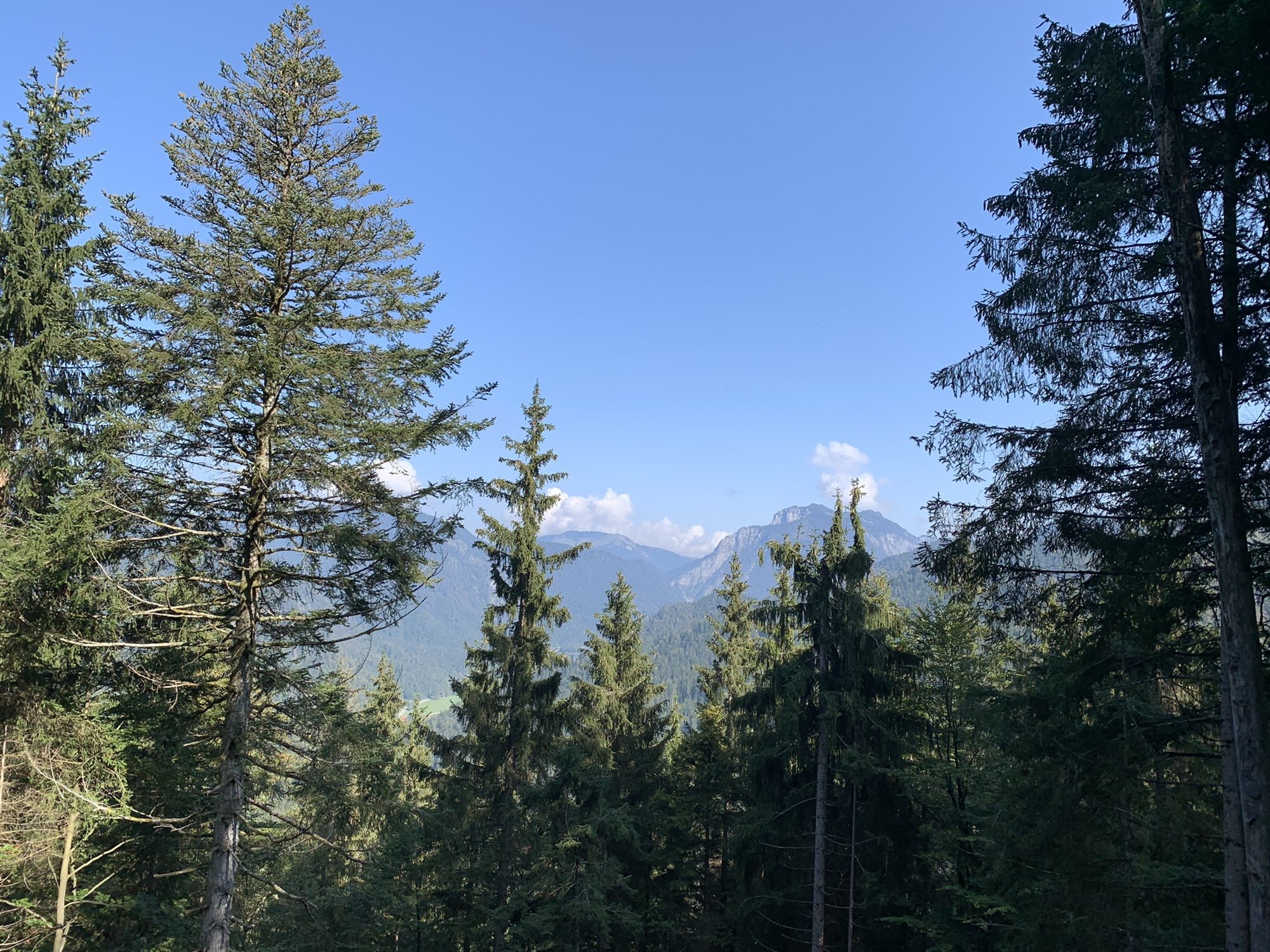
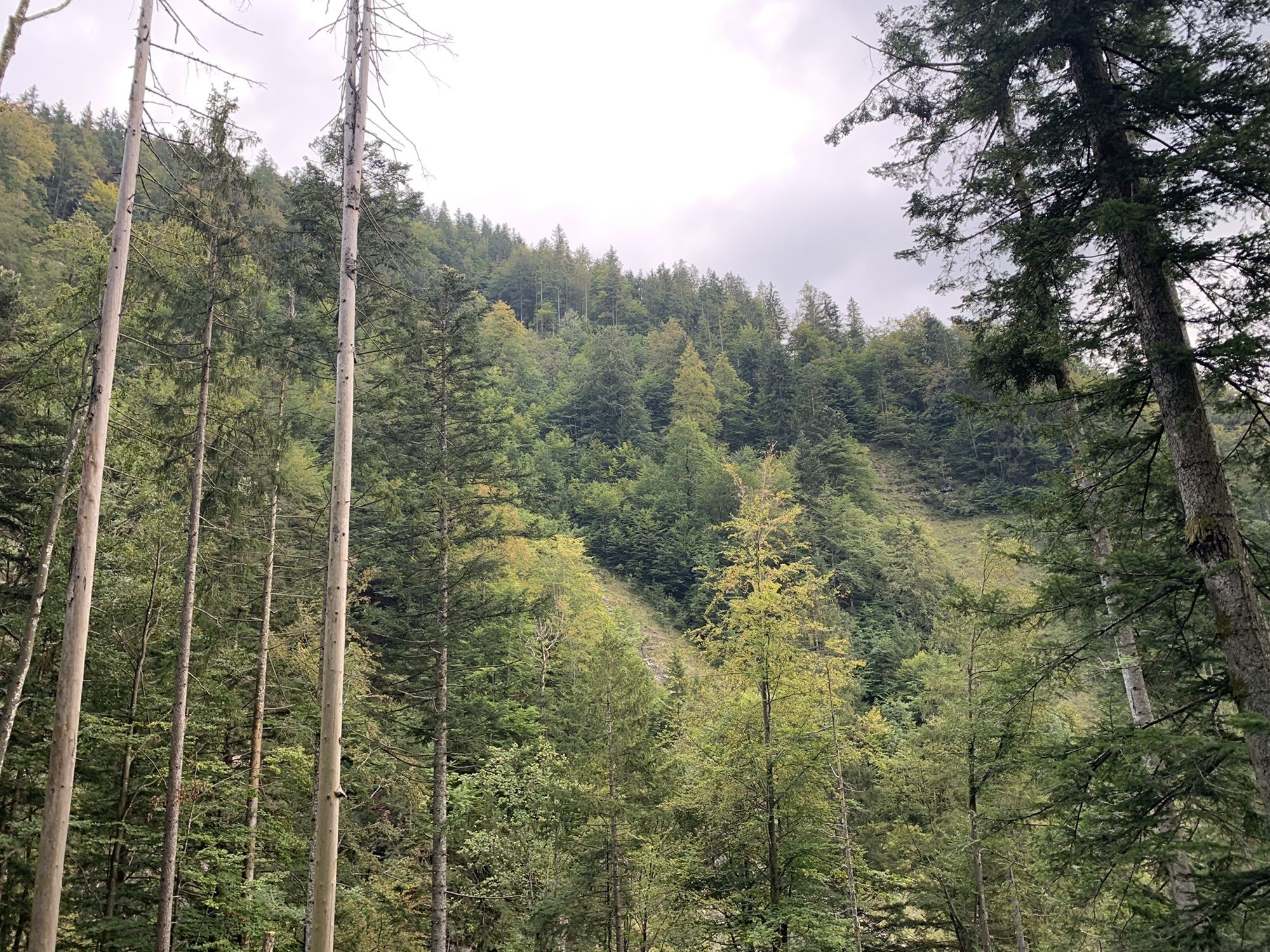
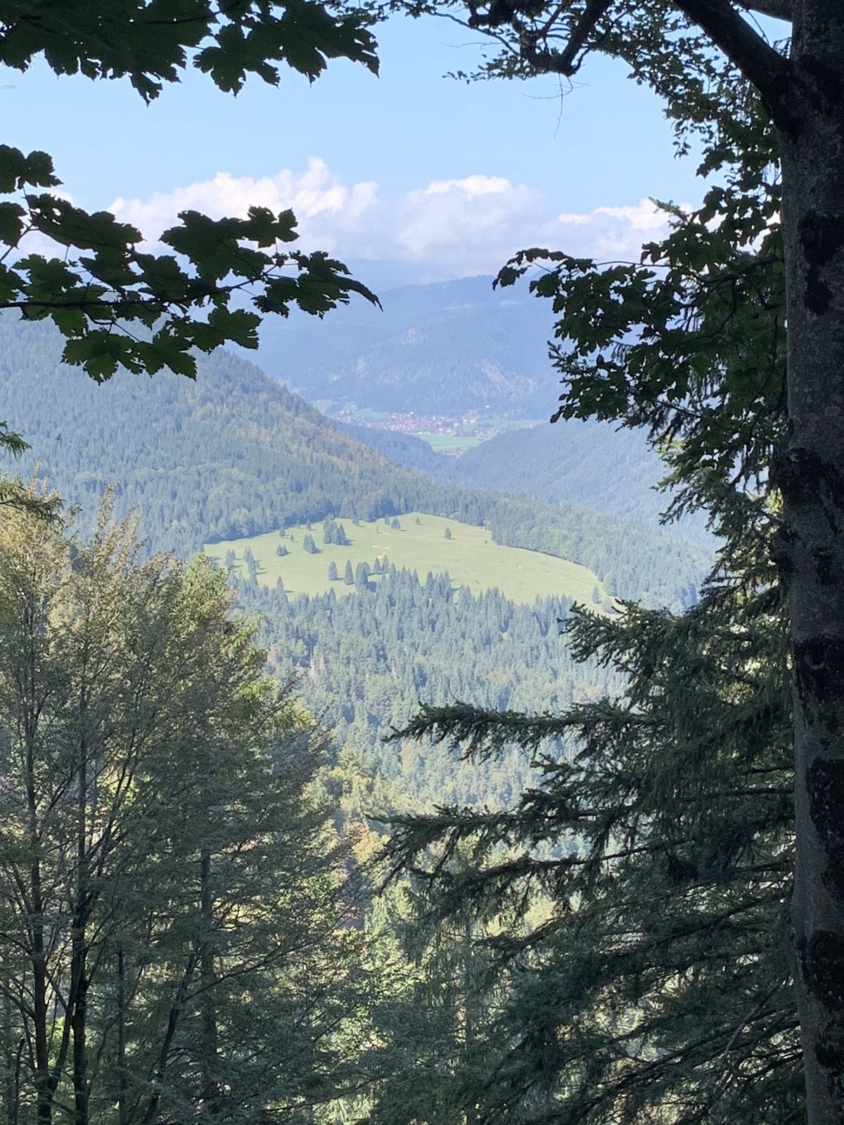
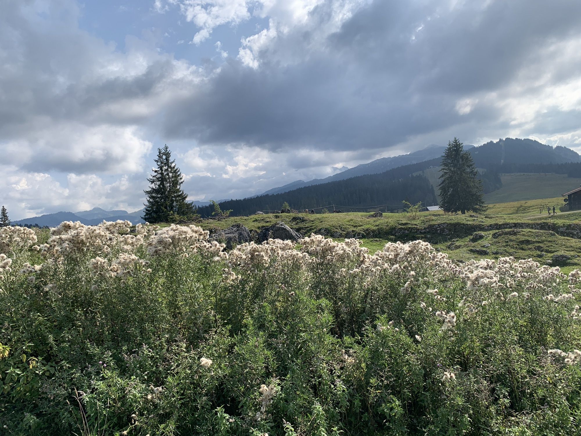
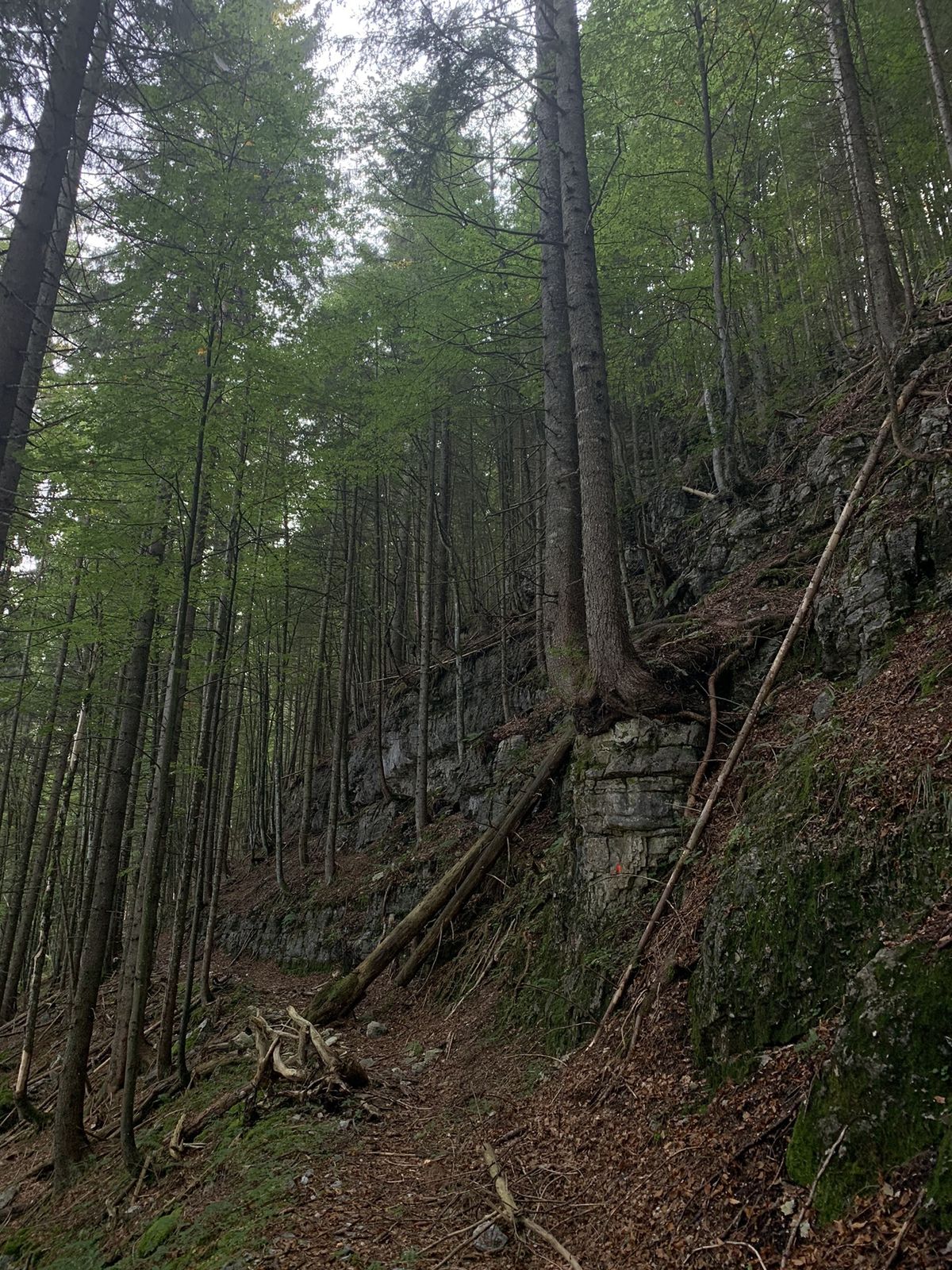
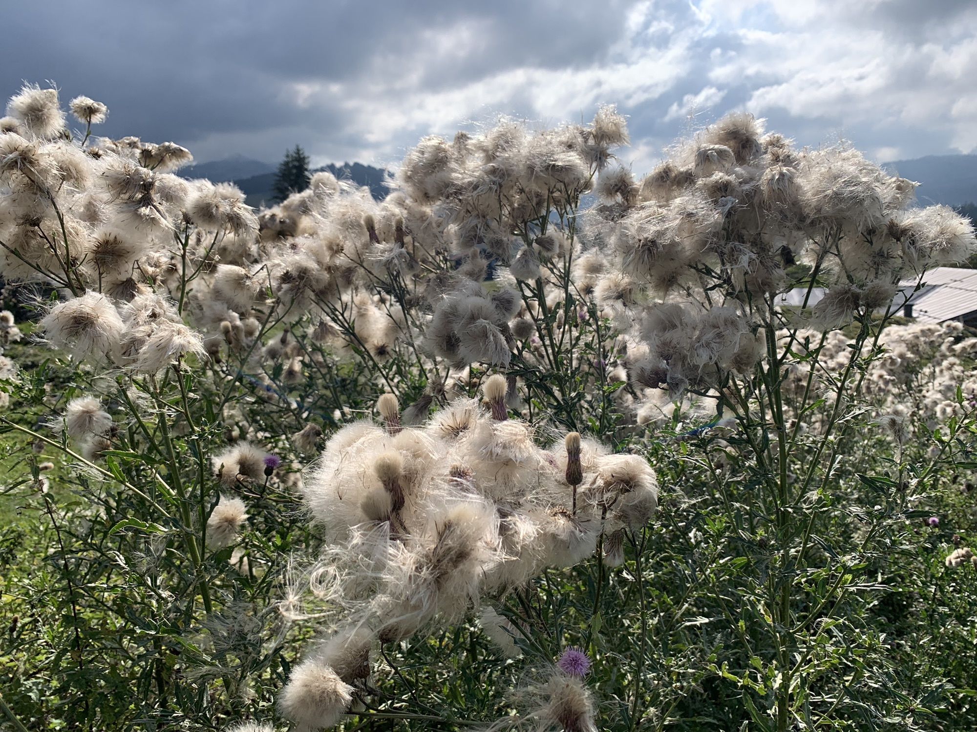
Schöne Waldwege abseits der normalen Route
- Difficulty
-
medium
- Rating
-
- Route
-
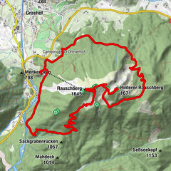
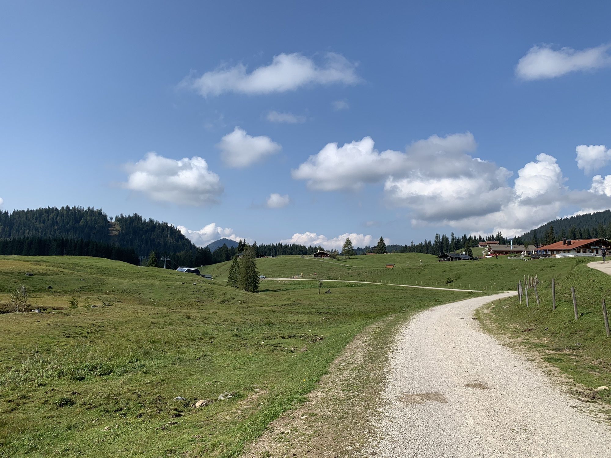
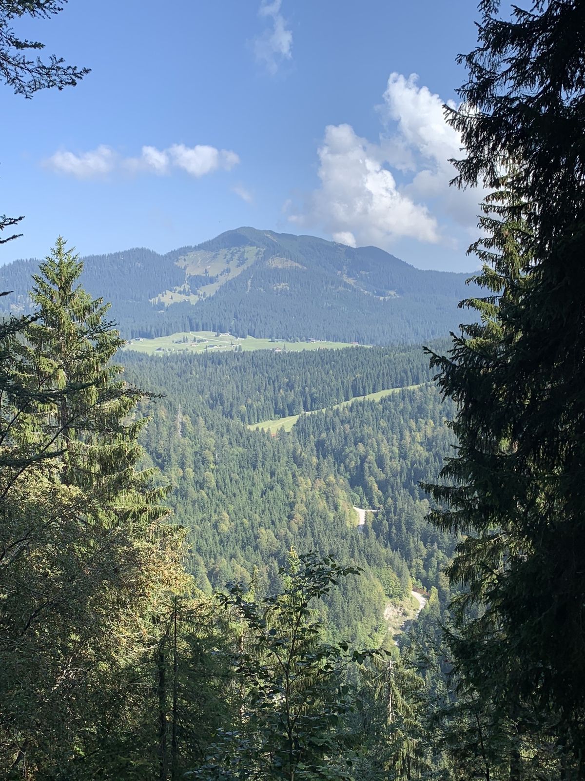
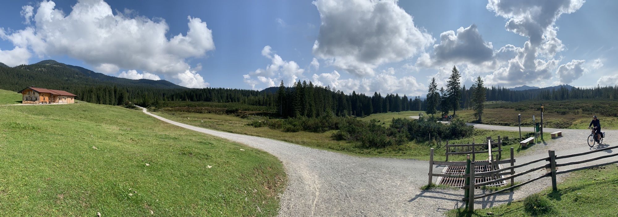
Seegatterl0.0 kmBerggasthaus Almstüberl9.5 kmSonnenAlm9.6 kmWinklmoosalm (1,160 m)9.8 kmSt. Johann im Gebirg10.2 kmGondelbahn Seegatterl (800 m)14.1 kmSeegatterl14.1 km
- Highest point
- 1,238 m


GPS Downloads


Other tours in the regions
-
Pillerseetal
1787
-
Waidring
342