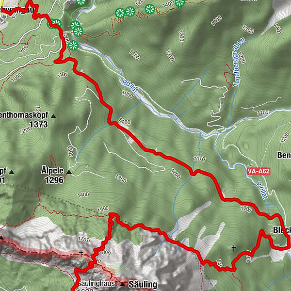
Tour data
8.57km
806
- 1,905m
2,298hm
2,298hm
07:30h
- Difficulty
-
difficult
- Rating
-
- Starting point
-
Parkplatz Hohenschwangau (Gebührenpflichtig)
- Route
-
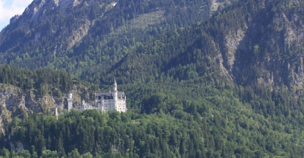
Hohenschwangau0.0 kmWasserfall unterm Schloss0.6 kmPanoramablick Schwangau0.8 kmPöllatfall1.0 kmBleckenau (1,160 m)4.5 kmFritz-Putz-Hütte4.7 kmNaturfreundehaus Säulinghaus8.5 km
- Highest point
- 1,905 m
- Rest/Retreat
-
Bleckenau, Säulingshaus

GPS Downloads


Trail conditions
Asphalt
Gravel
Meadow
Forest
Rock
Exposed
Other tours in the regions