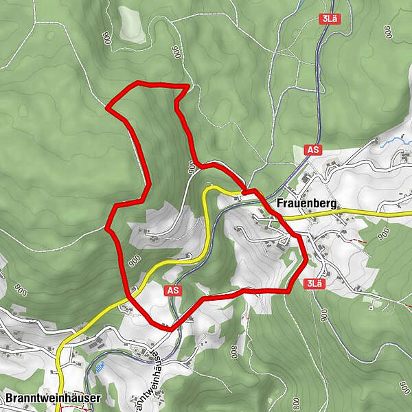
Tour data
4.85km
811
- 968m
140hm
01:30h
- Rating
-
- Starting point
-
Frauenberg: letzter Parkplatz rechts an der Staatsstraße von Haidmühle kommend
- Route
-
Frauenberg4.5 km
- Highest point
- 968 m
- Rest/Retreat
-
keine Möglichkeit!
- Ticket material
-
Tourist-Info Haidmühle
Tel. +498556-19433
haidmuehle@t-online.de
www.haidmuehle.de
GPS Downloads


Trail conditions
Asphalt
Gravel
Meadow
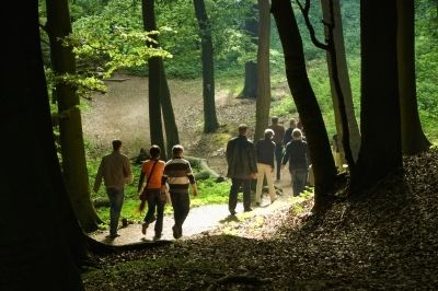
Forest
Rock
Exposed
Other tours in the regions
-
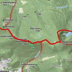
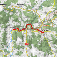
Böhmerwald
242
-
Haidmühle
104