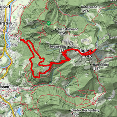


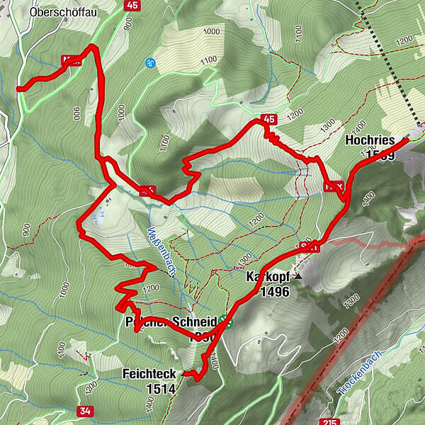
Tour data
11.53km
775
- 1,533m
859hm
854hm
05:00h
- Brief description
-
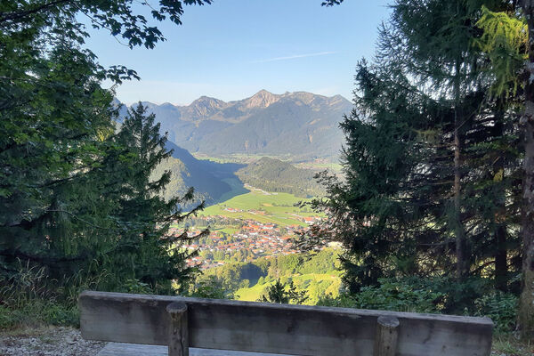
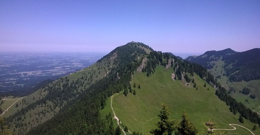
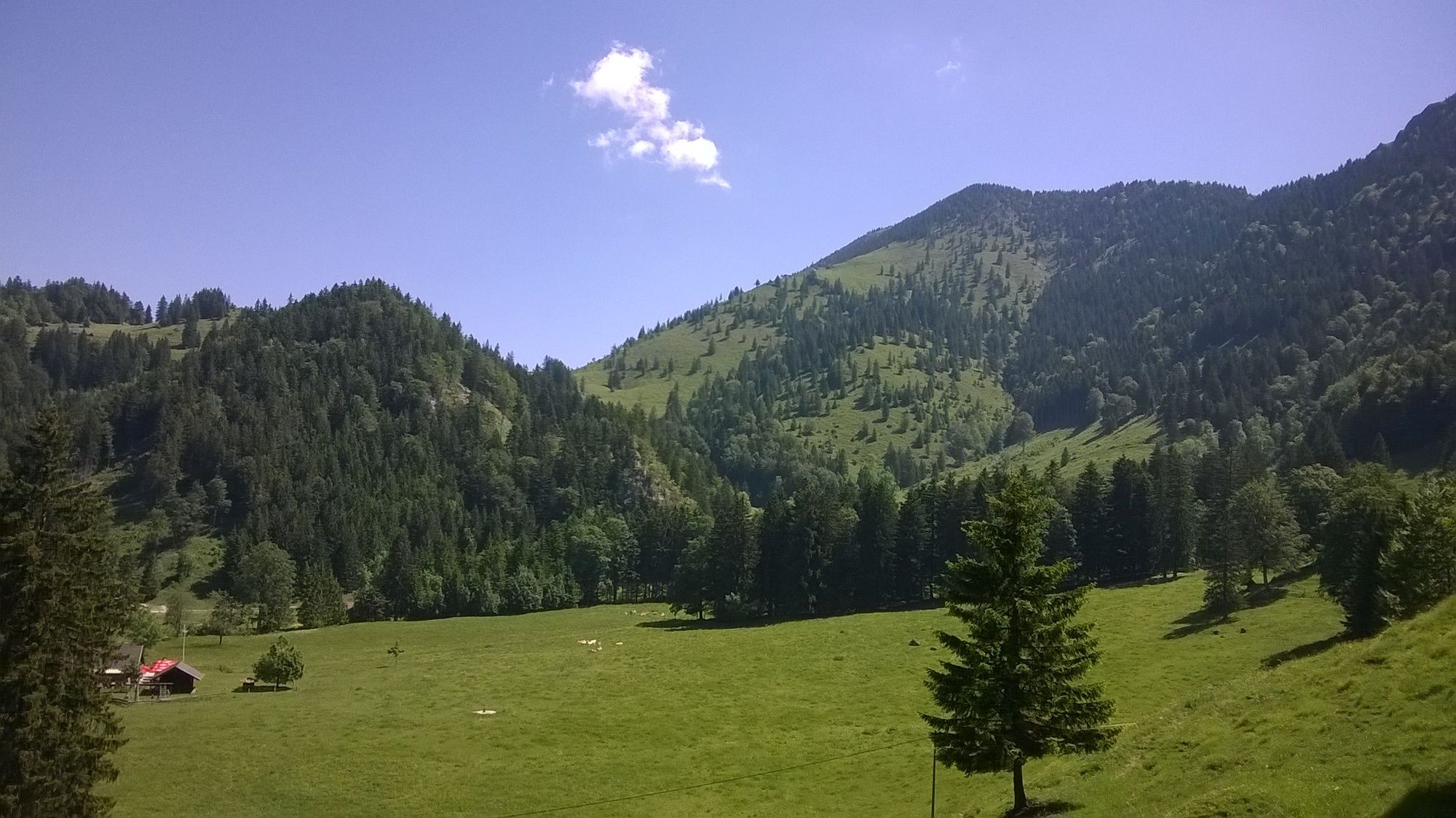
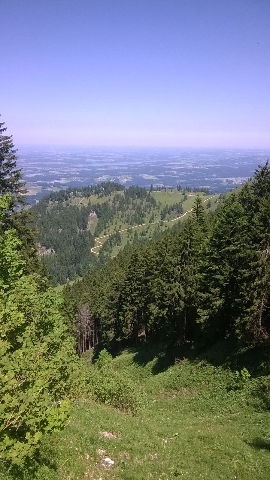
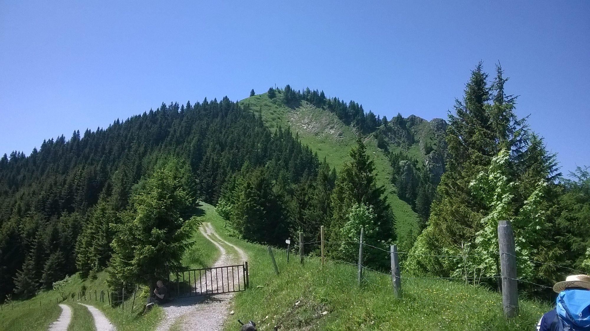
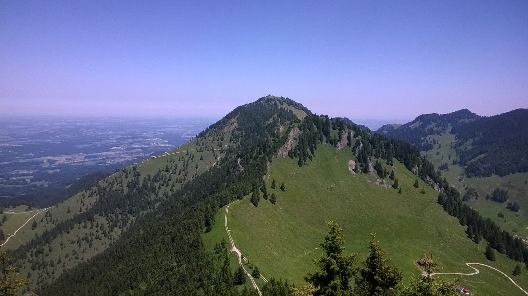
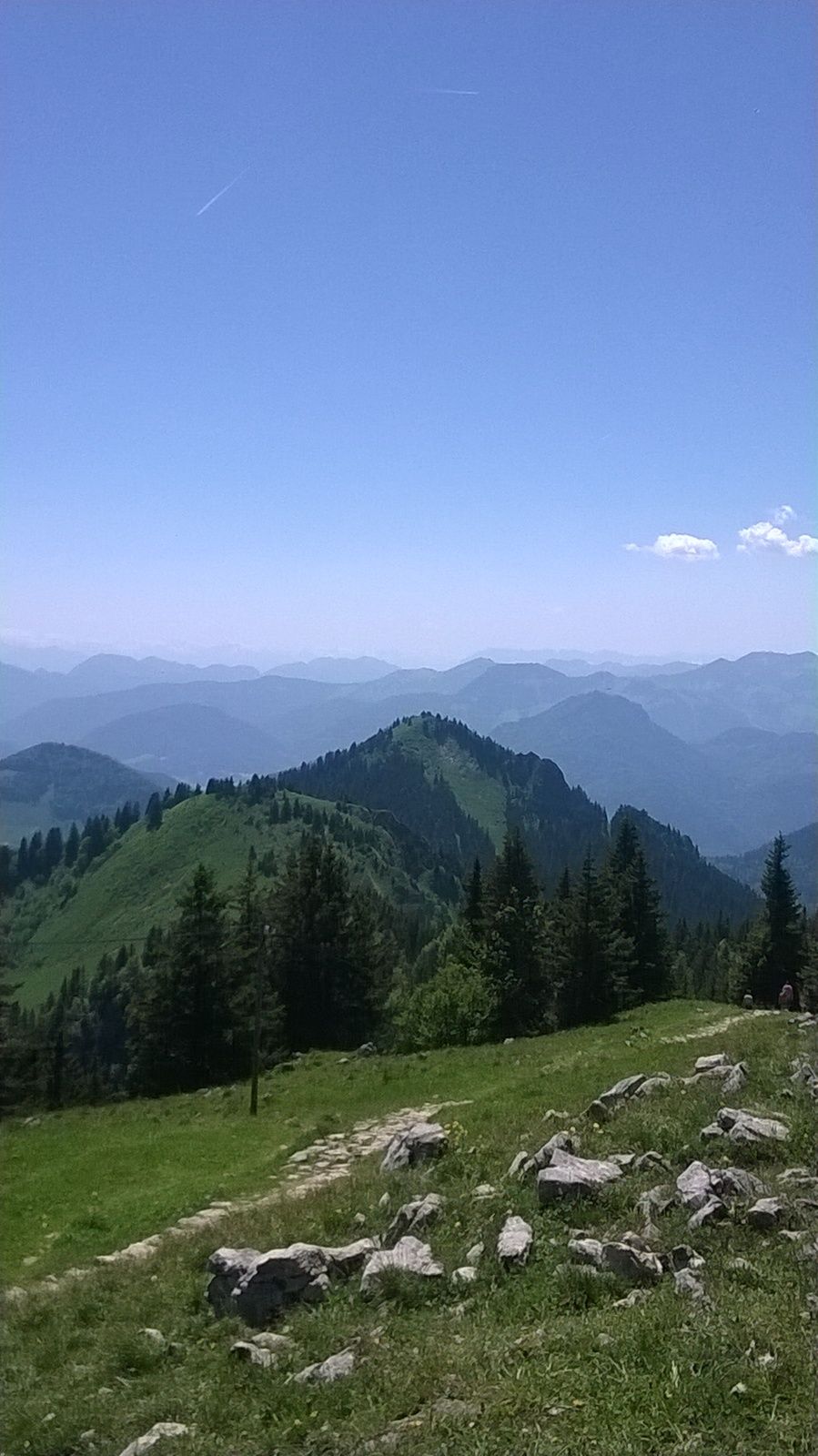
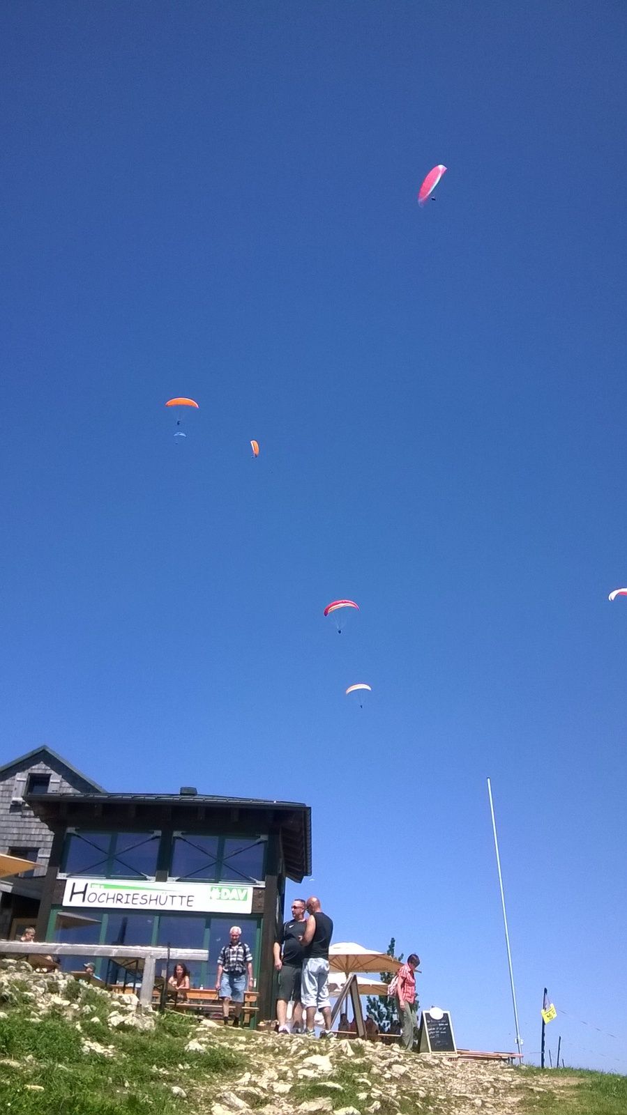
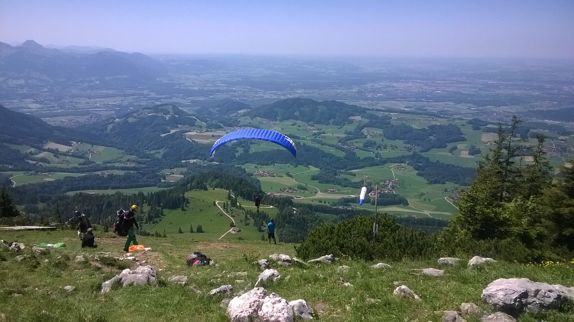
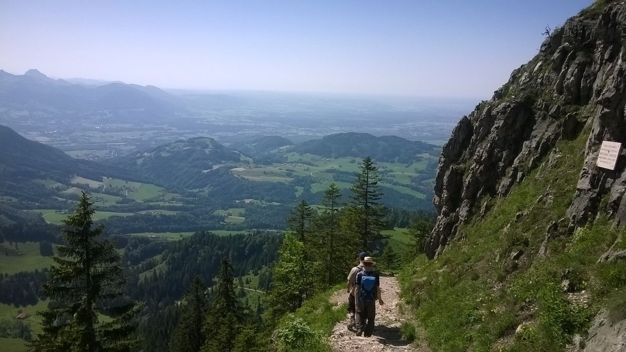
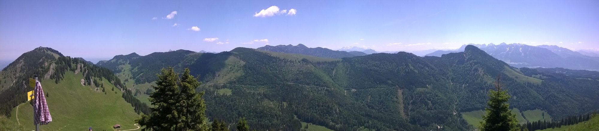
Vom Wanderparkplatz Spatenau aufs Feichteck und Hochries.
Tolle Rundumblicke und 3-Gipfeltour möglich - Difficulty
-
medium
- Rating
-
- Starting point
-
Wanderparkplatz
- Route
-
Feichteck (1,514 m)4.6 kmHochries (1,569 m)6.8 kmHochrieshütte6.9 km
- Best season
-
JanFebMarAprMayJunJulAugSepOctNovDec
- Highest point
- Hochries (1,533 m)
- Endpoint
-
Feichteck, Karkopf, Hochries
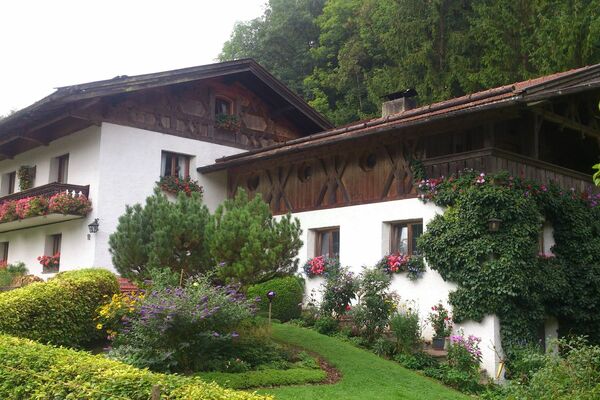
- Rest/Retreat
-
Doaglalm (www.doaglalm.de/)
Hochrieshütte (www.hochrieshuette.de/)
All ratings
James Richardson
11. Apr. 2024
Hochries
Cloudy
GPS Downloads


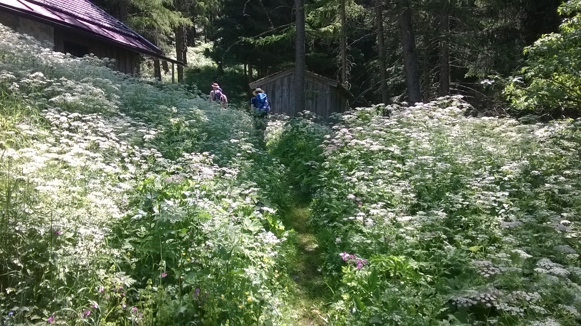
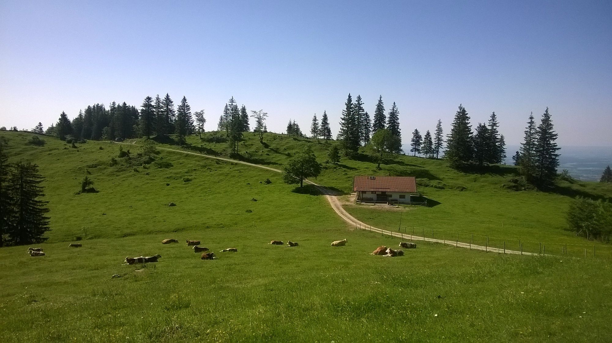
Trail conditions
Asphalt
Gravel
(50%)
Meadow
(15%)
Forest
(35%)
Rock
Exposed
Other tours in the regions
-
Region Simssee
1070
-
Samerberg
471