


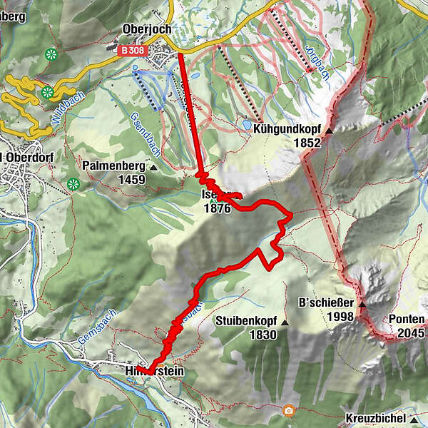
Tour data
8.87km
863
- 1,817m
641hm
890hm
06:00h
- Brief description
-
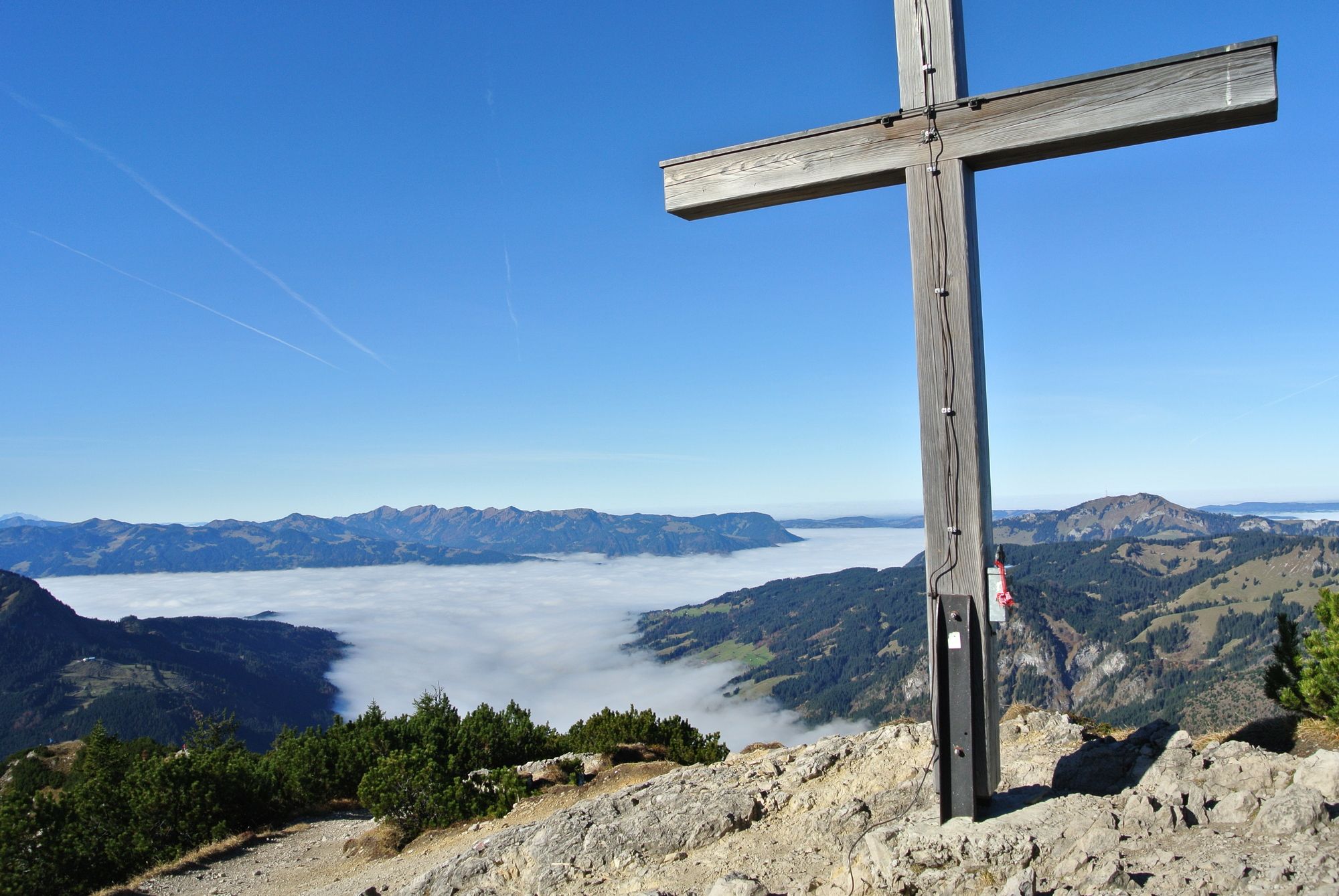
Mittelschwere Wanderung mit guten Schuwerk und toller Aussicht
- Difficulty
-
medium
- Rating
-
- Starting point
-
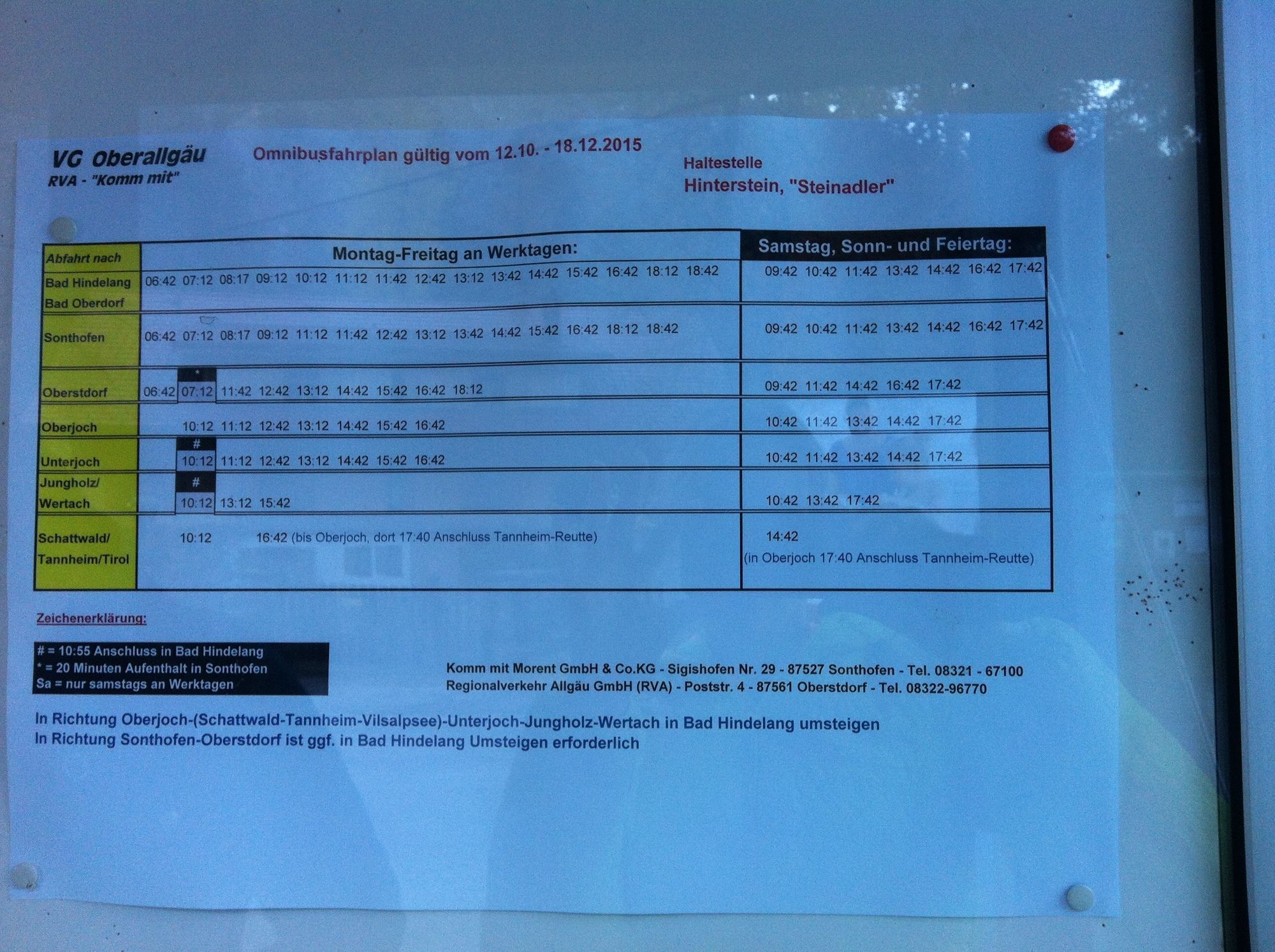
Parkplatz
- Route
-
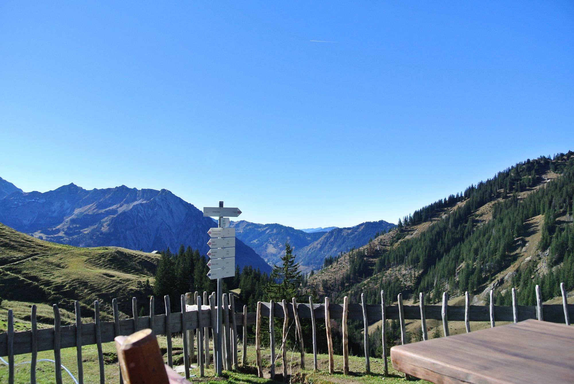
OberjochIseler (1,876 m)2.7 kmZipfelsalpe4.8 kmZipfelsfall8.0 kmHinterstein8.7 kmPfarrkirche St. Antonius8.7 km
- Best season
-
JanFebMarAprMayJunJulAugSepOctNovDec
- Highest point
- 1,817 m
- Endpoint
-
Parkplatz
- Rest/Retreat
-
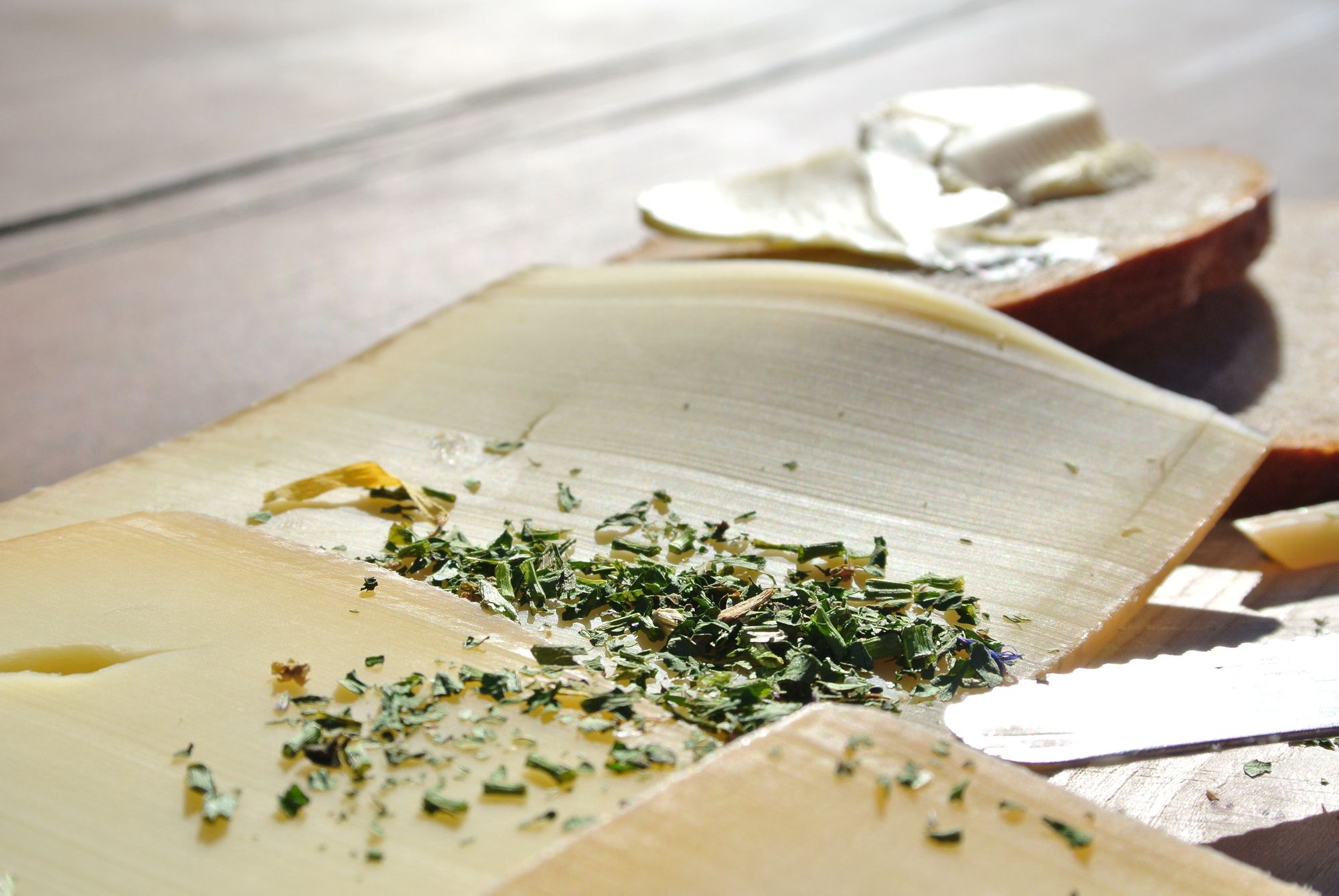
Zipfelsalpe
- Source
- Janine
GPS Downloads


Trail conditions
Asphalt
Gravel
(30)
Meadow
(10)
Forest
(40)
Rock
(20)
Exposed
Other tours in the regions
-
Allgäu
2359
-
Tannheimer Tal
1448
-
Hinterstein
407


