
- Brief description
-
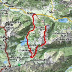
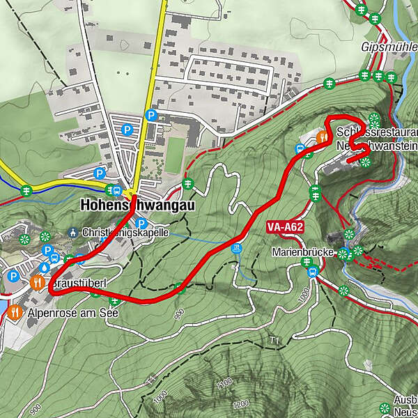
Hohenschwangau car park P1-P4 - Ticket Centre - Neuschwansteinstraße - Neuschwanstein Castle - Marienbrücke (closed until approx. autumn 2022) - Neuschwansteinstraße - car park
- Difficulty
-
easy
- Rating
-
- Starting point
-
Hohenschwangau car park (P1-P4)
- Route
-
Hohenschwangau0.0 kmWasserfall unterm Schloss1.0 kmSchlossrestaurant Neuschwanstein1.5 km
- Best season
-
JanFebMarAprMayJunJulAugSepOctNovDec
- Description
-
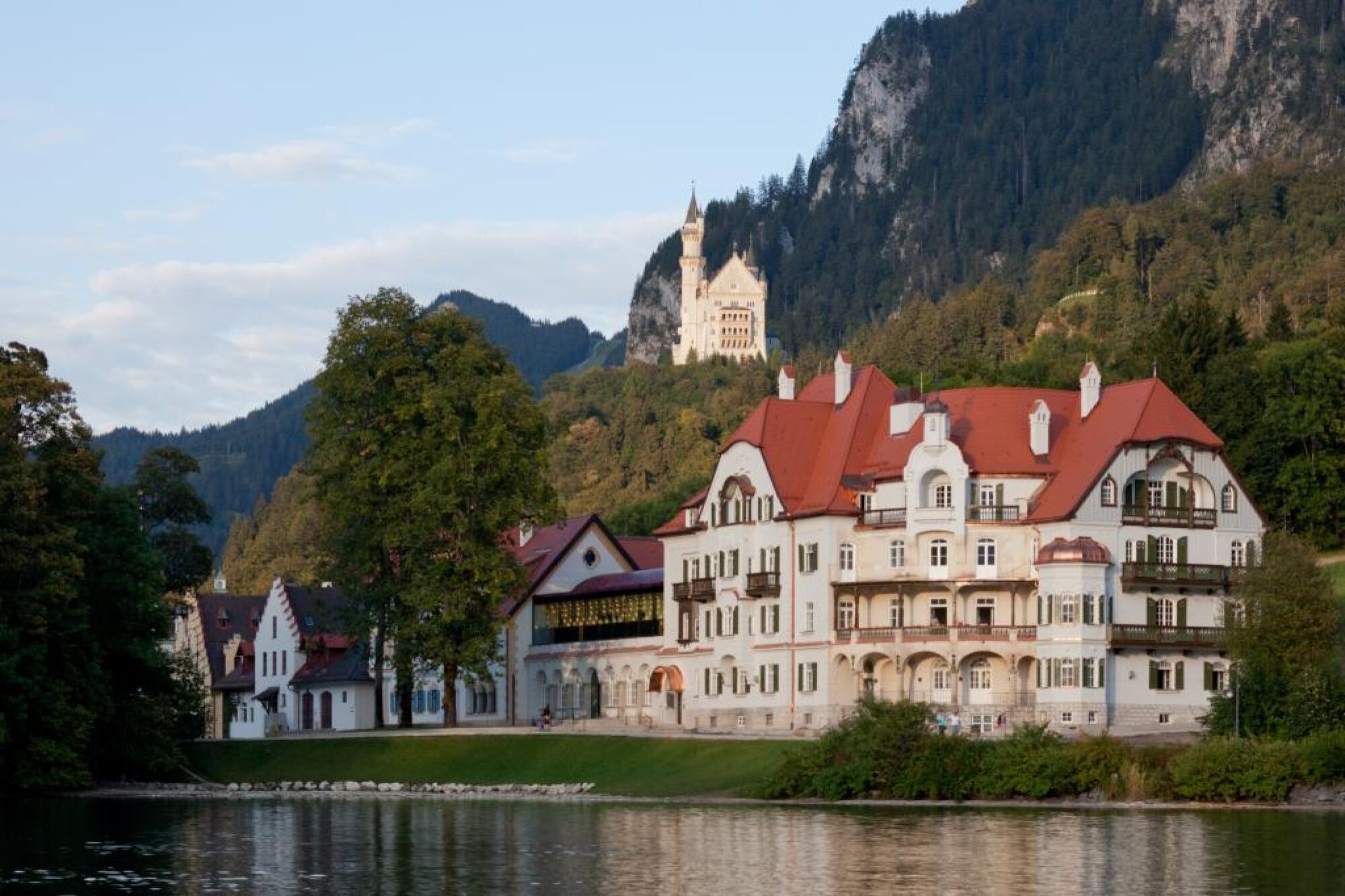
Short, easy hike to the castle of the fairytale king Ludwig II.
- Directions
-
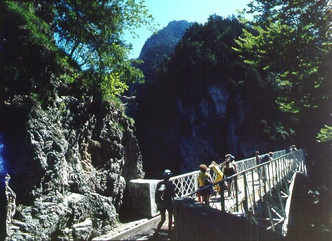
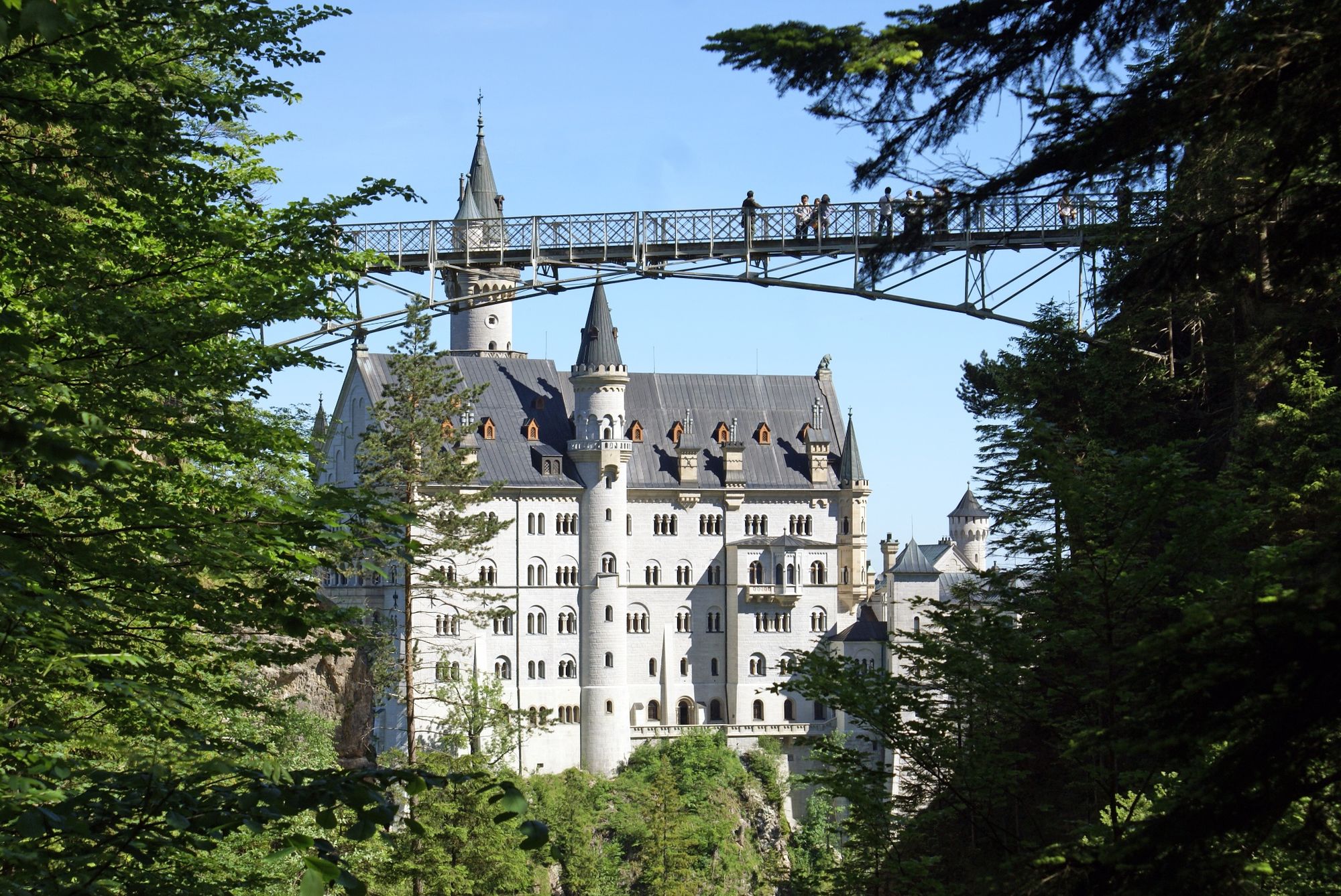
The starting point is the car park or the Hohenschwangau bus stop, where you can also buy tickets for Neuschwanstein and Hohenschwangau castles at the ticket centre. The castle is reached after about 40 minutes on Neuschwansteinstraße. Please note: Please arrive on time as the tickets are only valid for a timed tour. At the castle, you can first visit the inner courtyard and admire the landscape on the Zimmermannsplatz to the left. After the tour, it is definitely worth making a detour to the Marienbrücke bridge with its magnificent view. Return to the car park along the same route. You can also travel there and back in comfort by coach or shuttle bus.
- Highest point
- 938 m
- Endpoint
-
Neuschwanstein Castle
- Height profile
-
 © outdooractive.com
 - Safety instructions
-
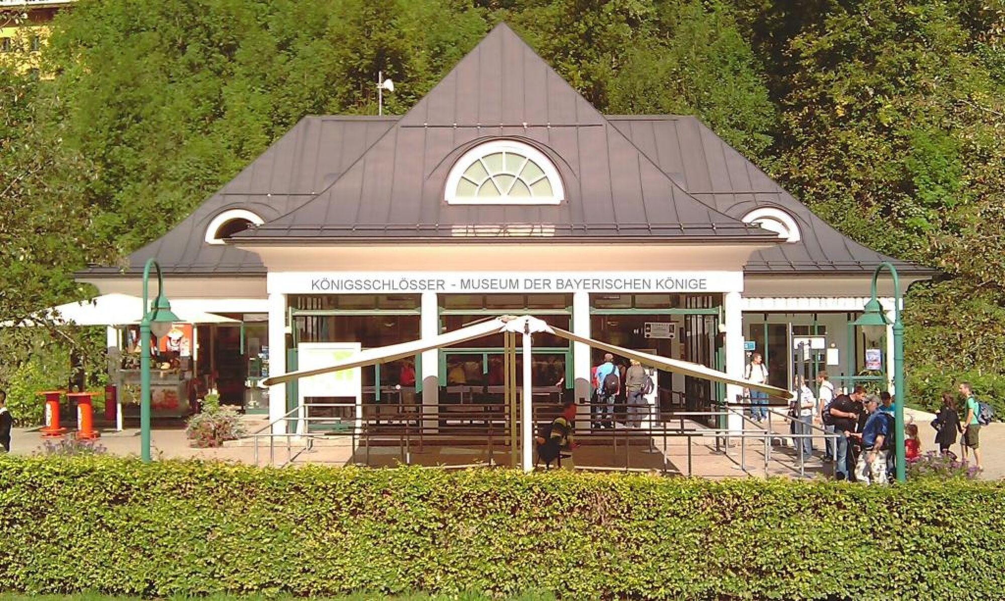
Tickets are only available at the Ticket Centre Hohenschwangau!
- Tips
-
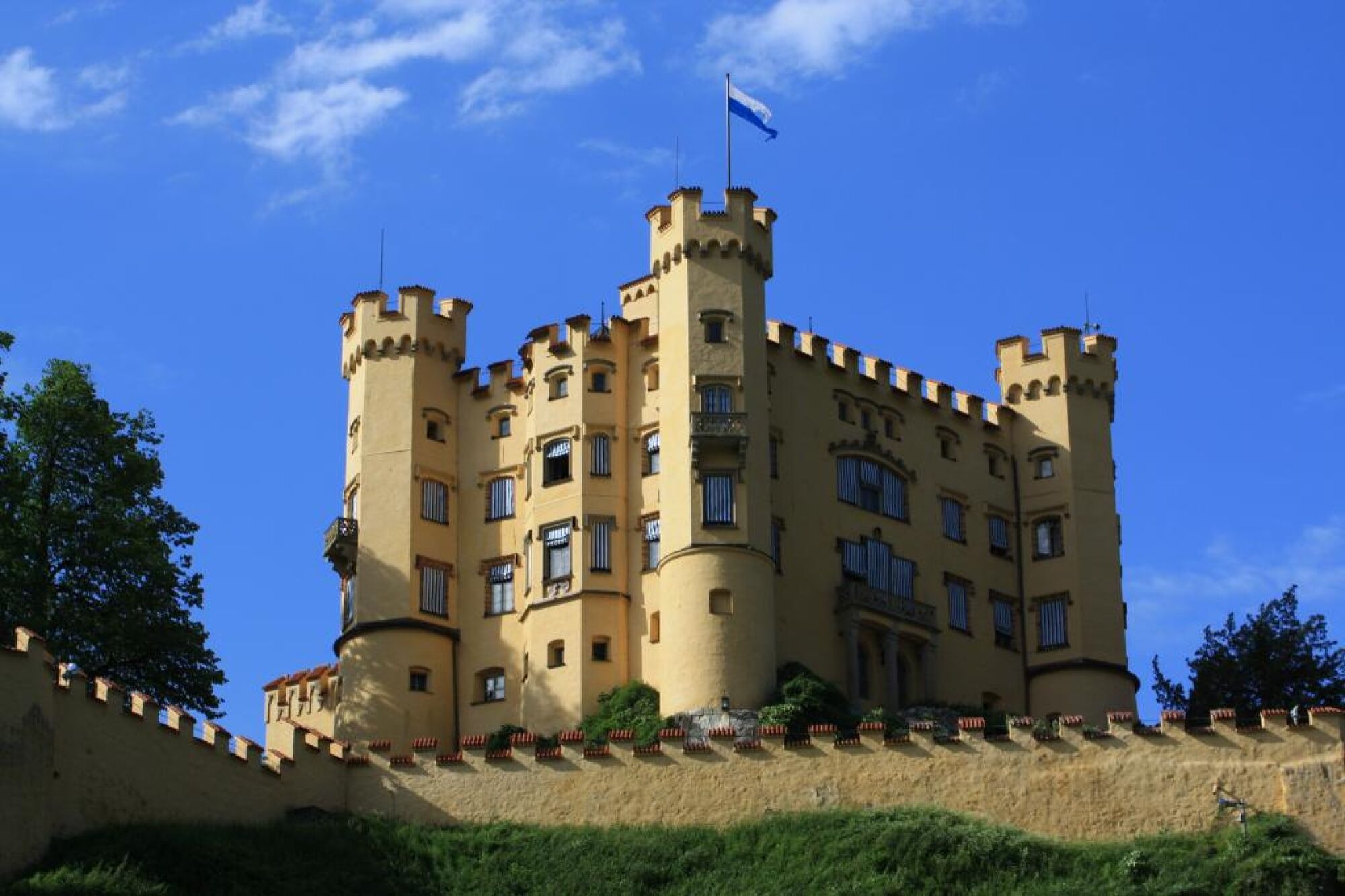
Take a detour to St Mary's Bridge and visit the Museum of the Bavarian Kings and Hohenschwangau Castle!
- Additional information
- Directions
-
Coming from the B17, turn off at Hohenschwangau (royal castles)
- Public transportation
-
Hohenschwangau bus stop
- Parking
-
Car parks in Hohenschwangau P1-P4
- Author
-
The tour Walk to Neuschwanstein castle is used by outdooractive.com provided.


General info
-
Allgäu
2367
-
Naturparkregion Reutte
1434
-
Hohenschwangau
531